Elevation of Bengaluru - Mangaluru Highway, Karnataka, India
Location: India > Karnataka > Hassan >
Longitude: 76.2824102
Latitude: 12.9748479
Elevation: 913m / 2995feet
Barometric Pressure: 91KPa
Elevation Map:
Satellite Map:
Related Photos:
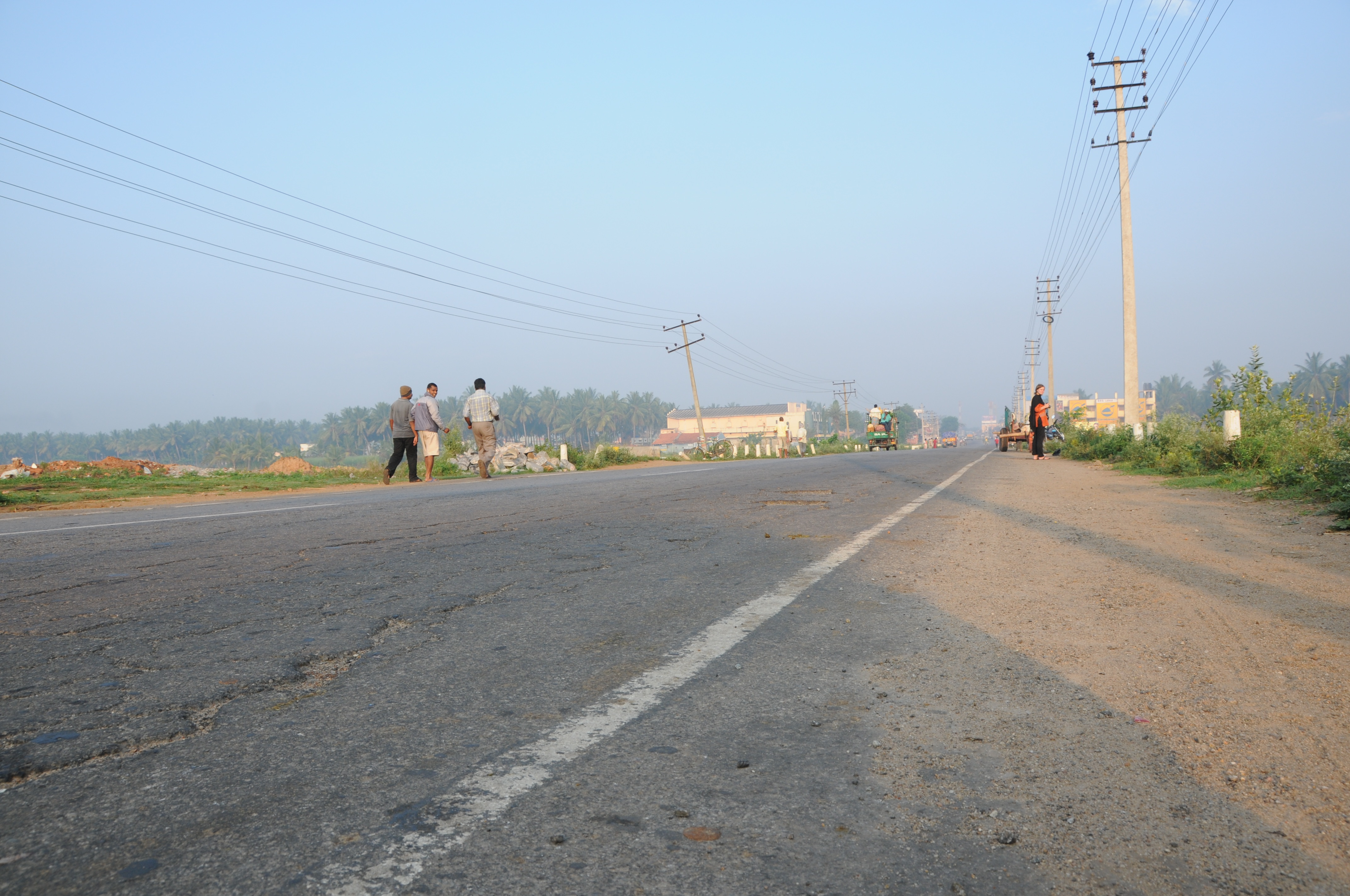
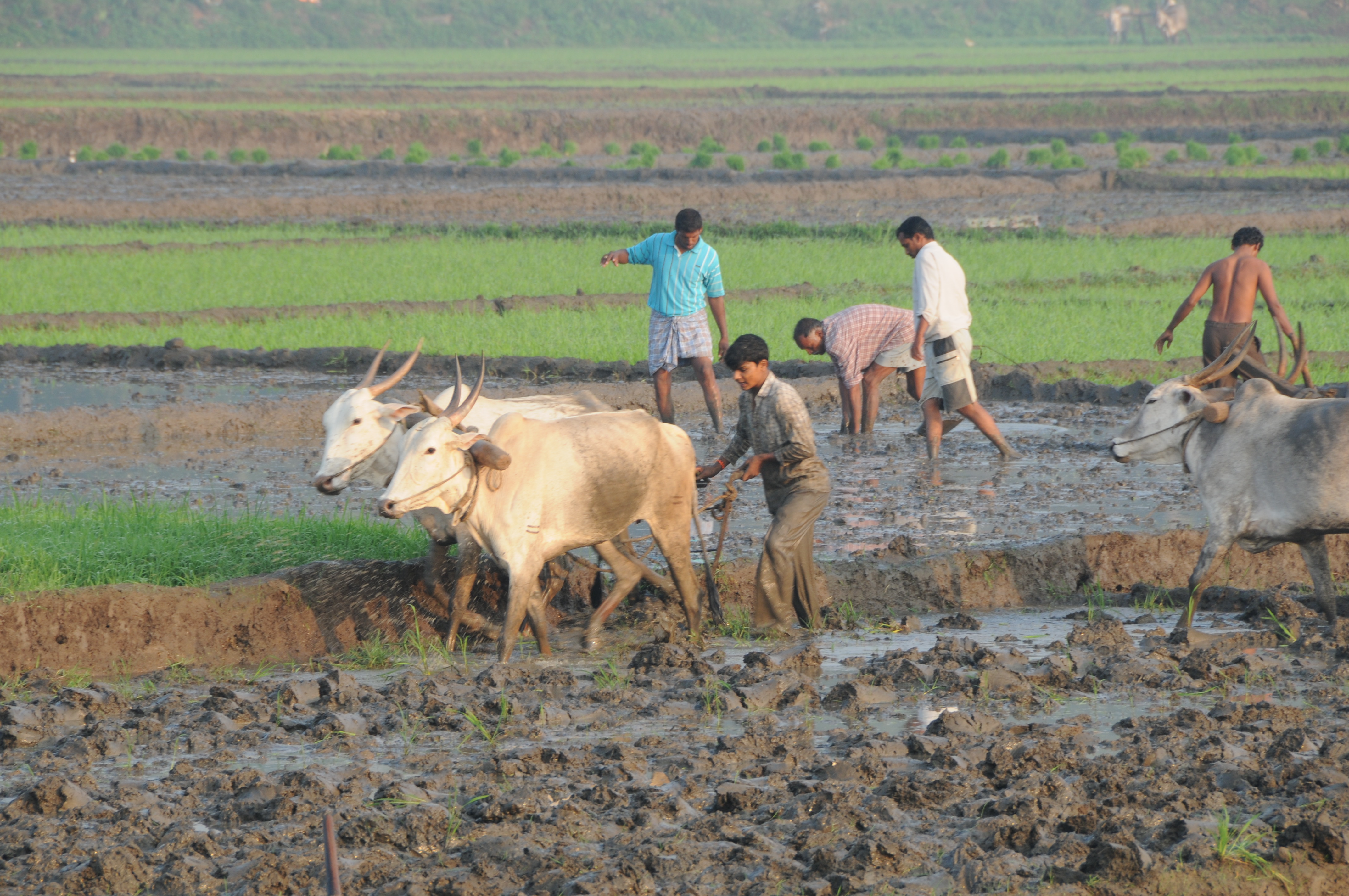
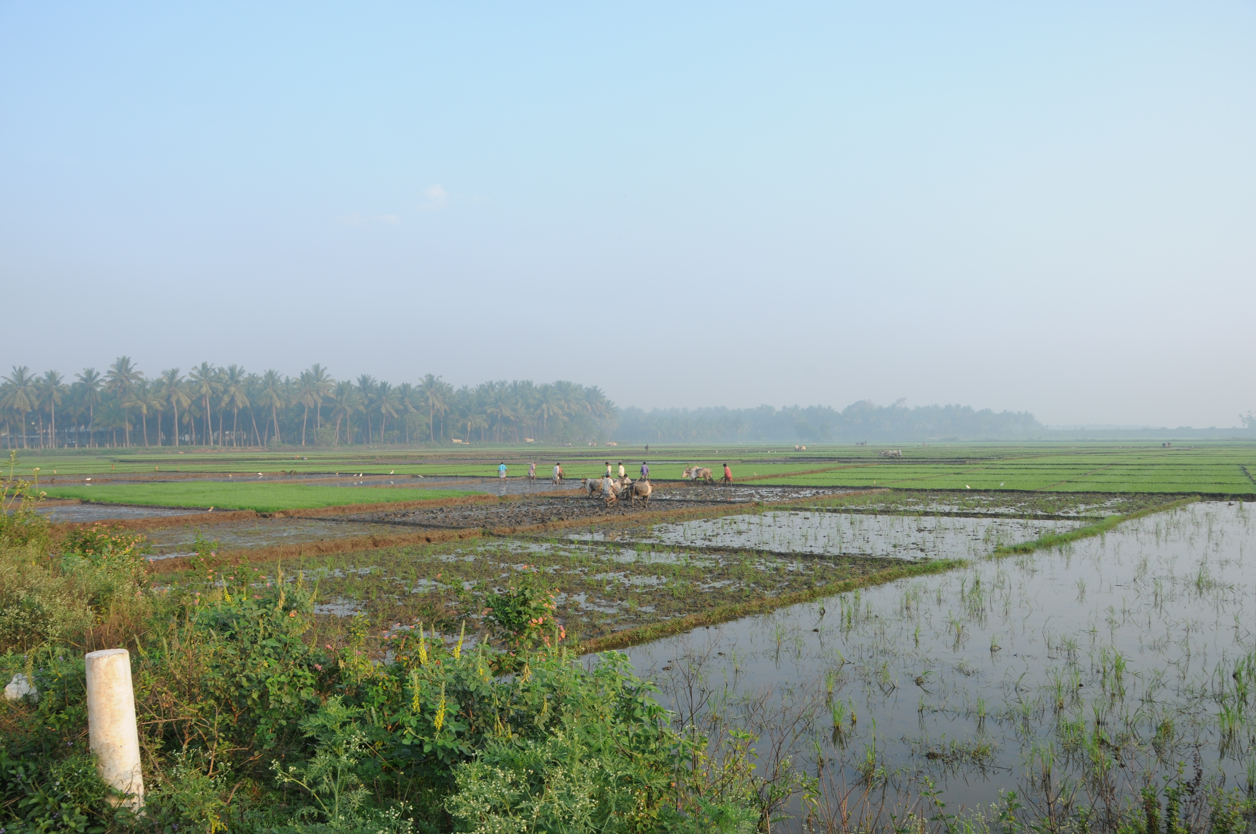
IMG_20180115_103200_HDR
IMG_20180115_101510_HDR
YPR - MYS Pass.
HAS - SUR Exp.

India_2015_web-085
CSP_4218.jpg
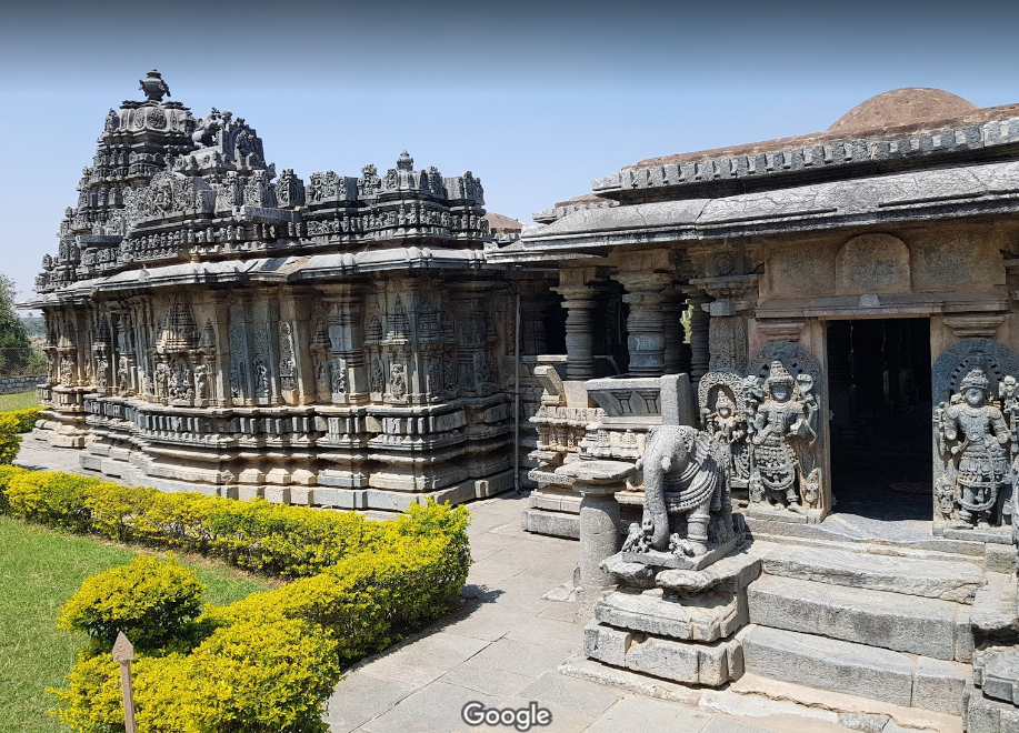
1173 戈拉凡伽拉的布克湿婆神庙
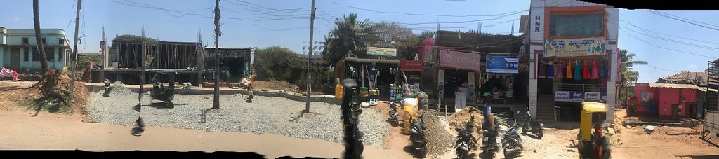
Action Pano
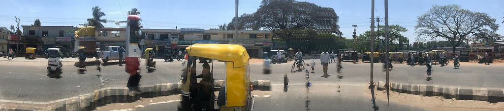
TukTuk - Action Panorama
in trouble?

Lunch buffet
The wheels

India - Bangalore to Chikmagalur - March 2014
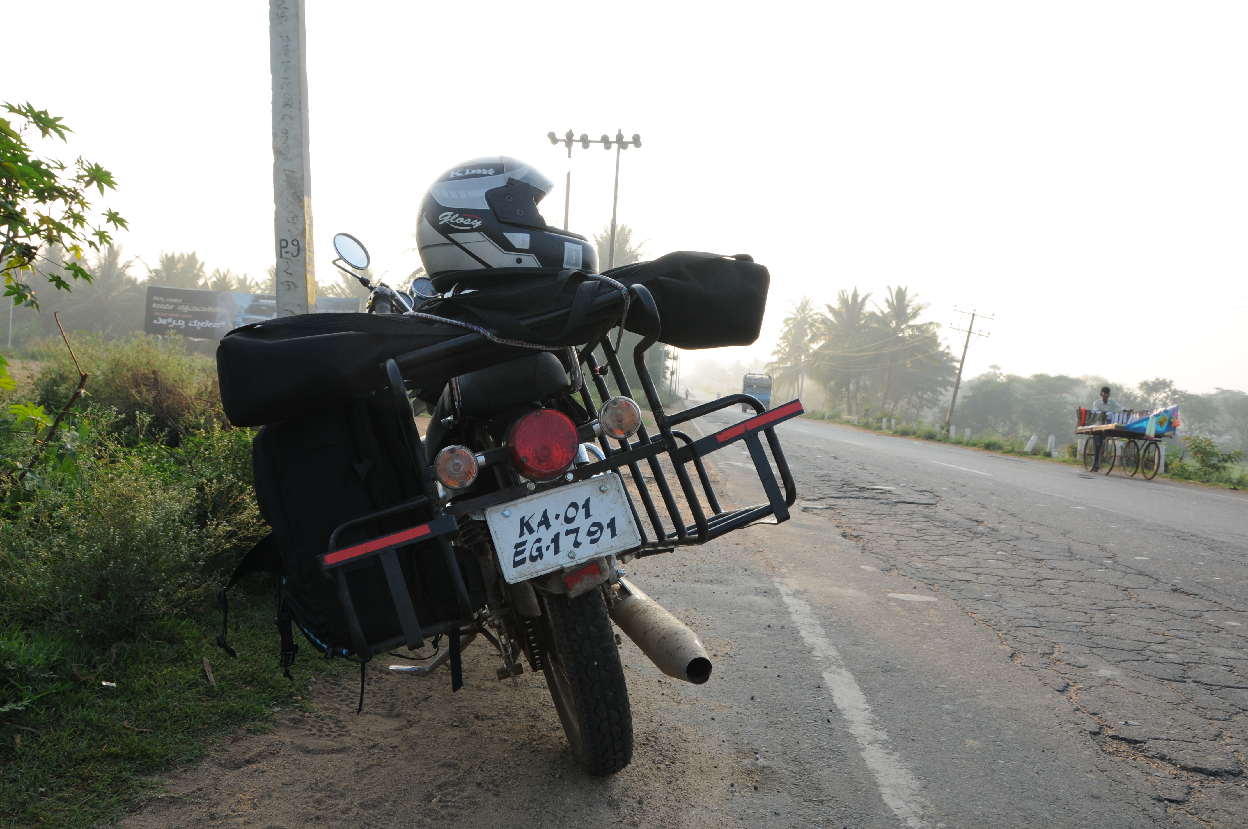
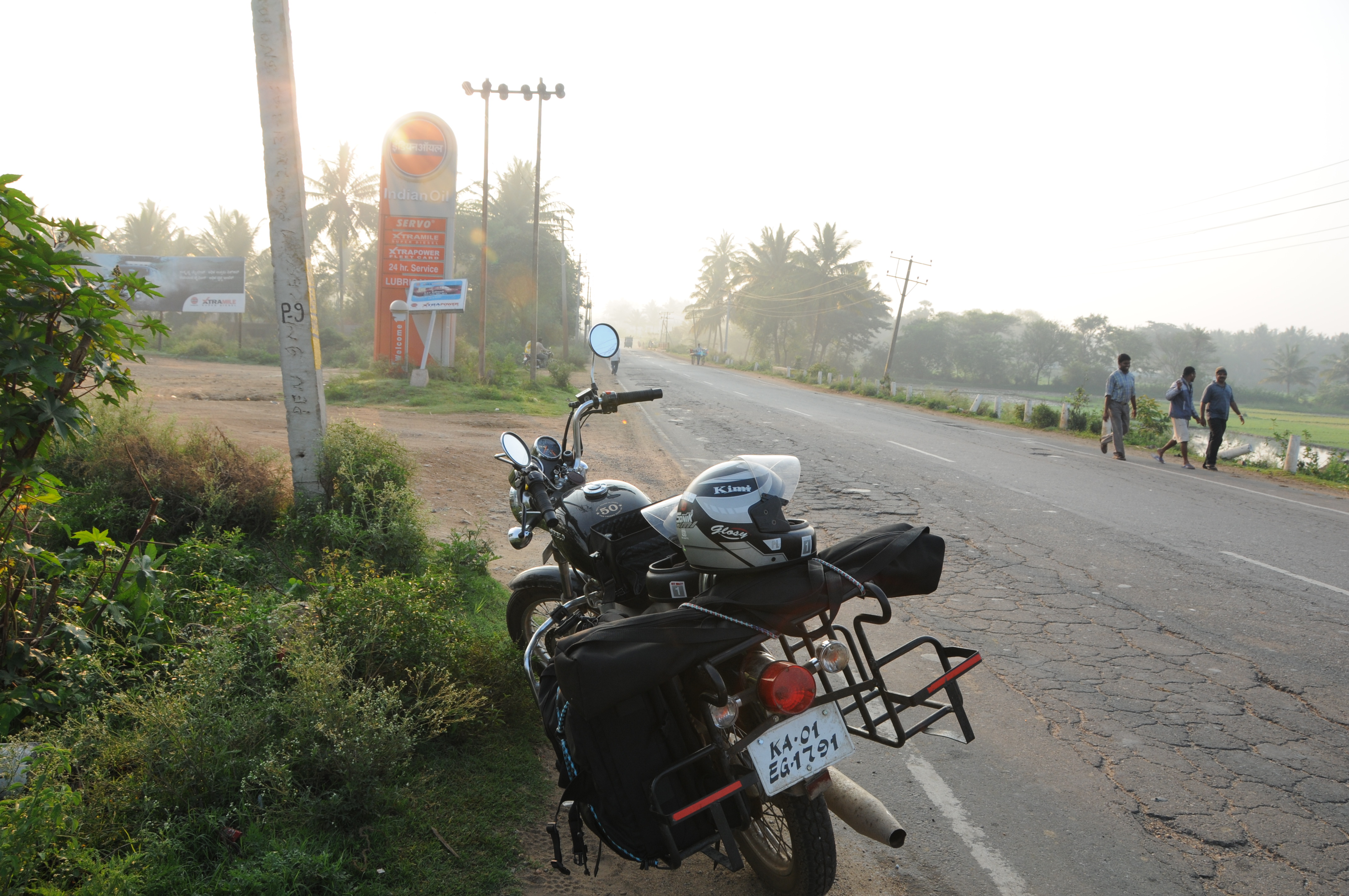
Open road and a motorcyle #shortlovestory

iPhone photos

Early Morning

chopped :-(

CSP_4228.jpg
CSP_4225.jpg
CSP_4222.jpg
CSP_4221.jpg
CSP_4220.jpg
CSP_4217.jpg
Topographic Map of Bengaluru - Mangaluru Highway, Karnataka, India
Find elevation by address:

Places near Bengaluru - Mangaluru Highway, Karnataka, India:
Channarayapattana
Hassan
Hassan
Holenarasipur
Shravanbela Gola (rural)
Gorur
Alur
Arakalagud
Arsikere
Tiptur
Tiptur
Halepalya
Halebeedu
Javagal
Bellur Cross
Mayasandra
Sriramanuja Residency
Tumkur
Kadur
Shreerampura Road
Recent Searches:
- Elevation of Corso Fratelli Cairoli, 35, Macerata MC, Italy
- Elevation of Tallevast Rd, Sarasota, FL, USA
- Elevation of 4th St E, Sonoma, CA, USA
- Elevation of Black Hollow Rd, Pennsdale, PA, USA
- Elevation of Oakland Ave, Williamsport, PA, USA
- Elevation of Pedrógão Grande, Portugal
- Elevation of Klee Dr, Martinsburg, WV, USA
- Elevation of Via Roma, Pieranica CR, Italy
- Elevation of Tavkvetili Mountain, Georgia
- Elevation of Hartfords Bluff Cir, Mt Pleasant, SC, USA