Elevation of Arakalagud, Karnataka, India
Location: India > Karnataka > Hassan >
Longitude: 76.0609476
Latitude: 12.7639683
Elevation: 918m / 3012feet
Barometric Pressure: 91KPa
Elevation Map:
Satellite Map:
Related Photos:
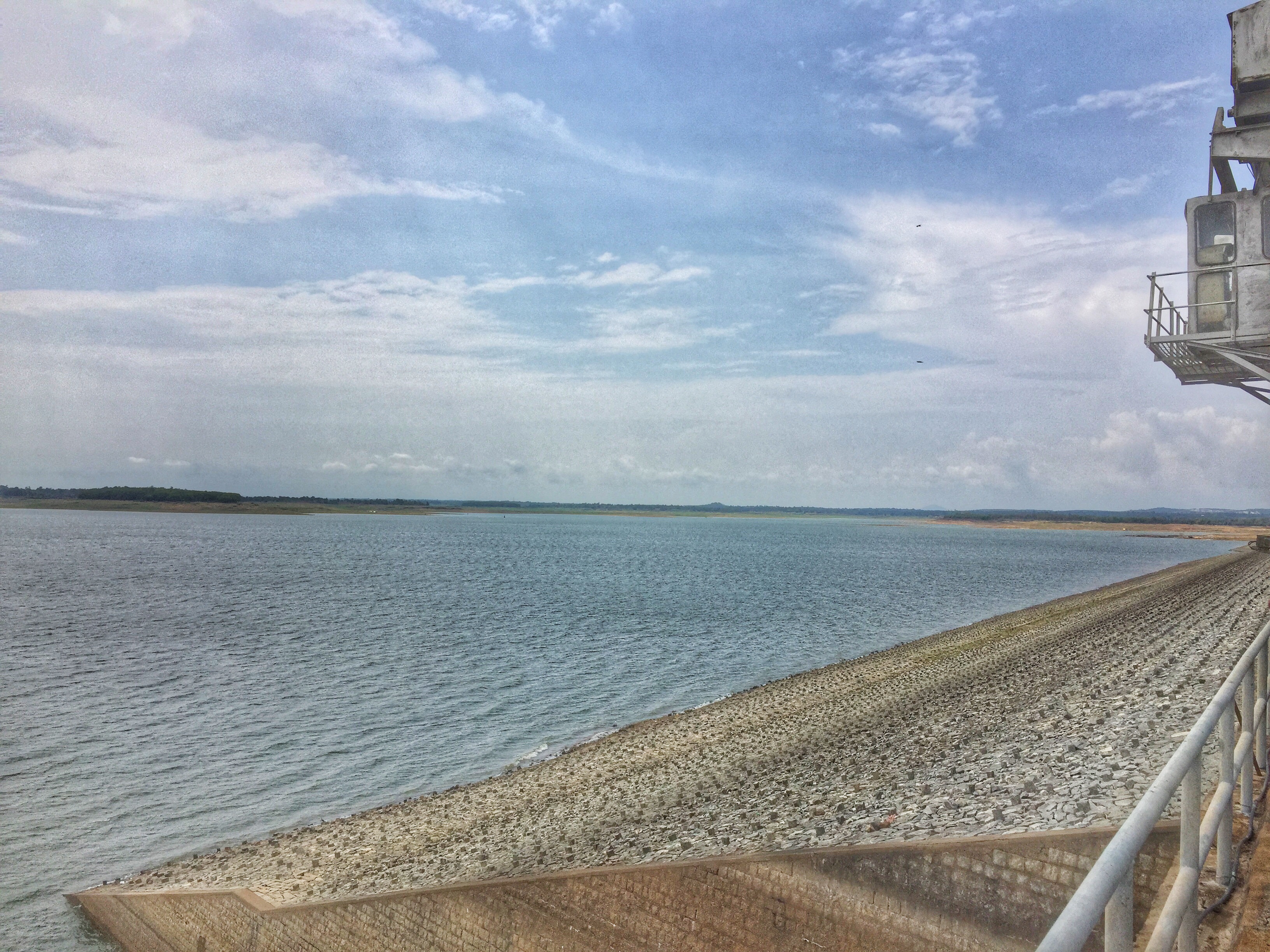
View from Gorur Dam
View from Gorur Dam
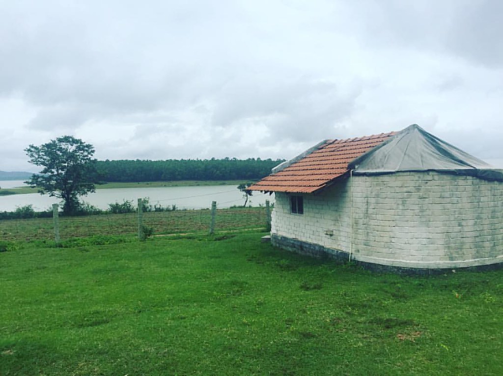
My view until tomorrow...
View from Gorur Dam
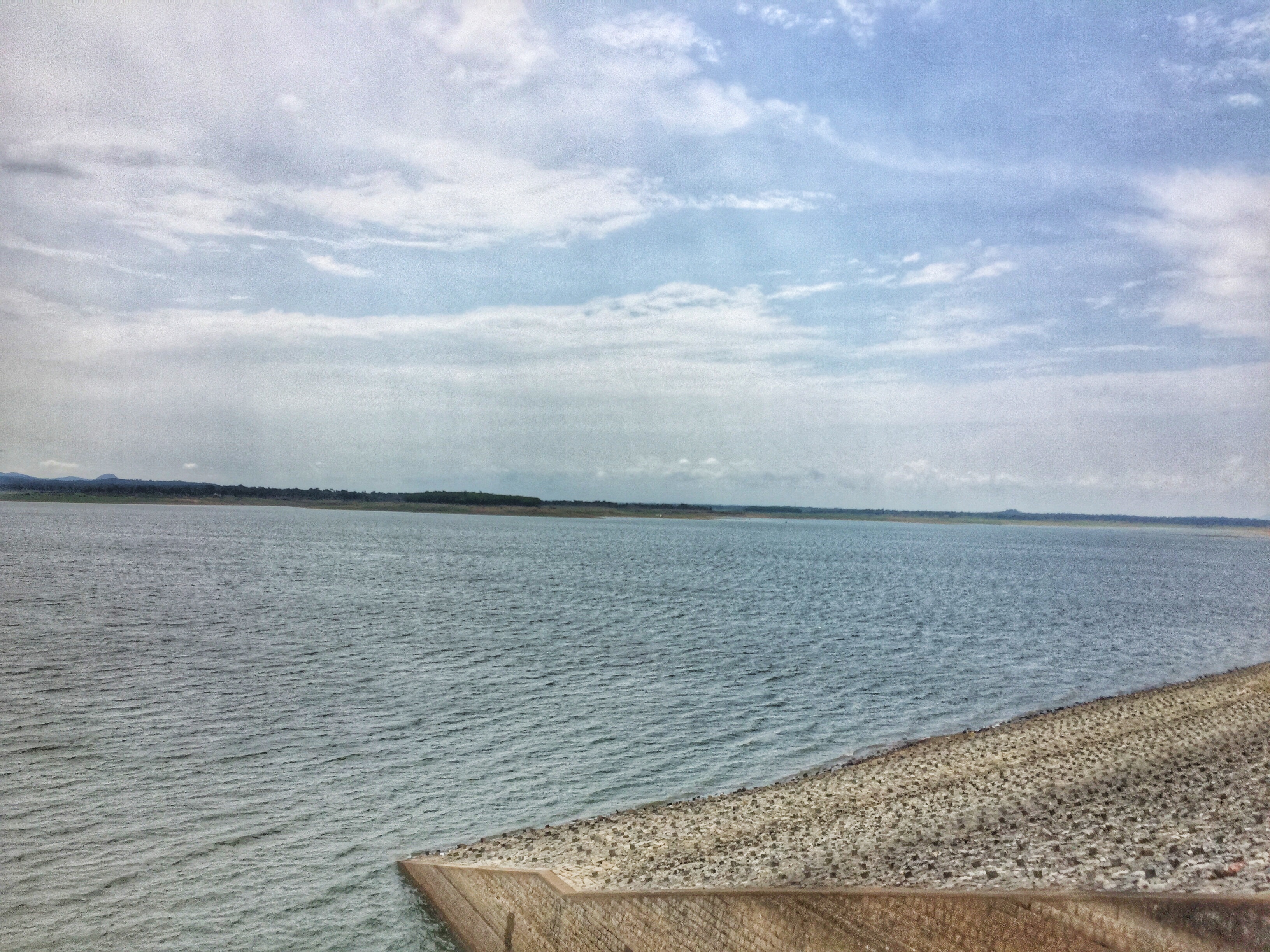
View from Gorur Dam
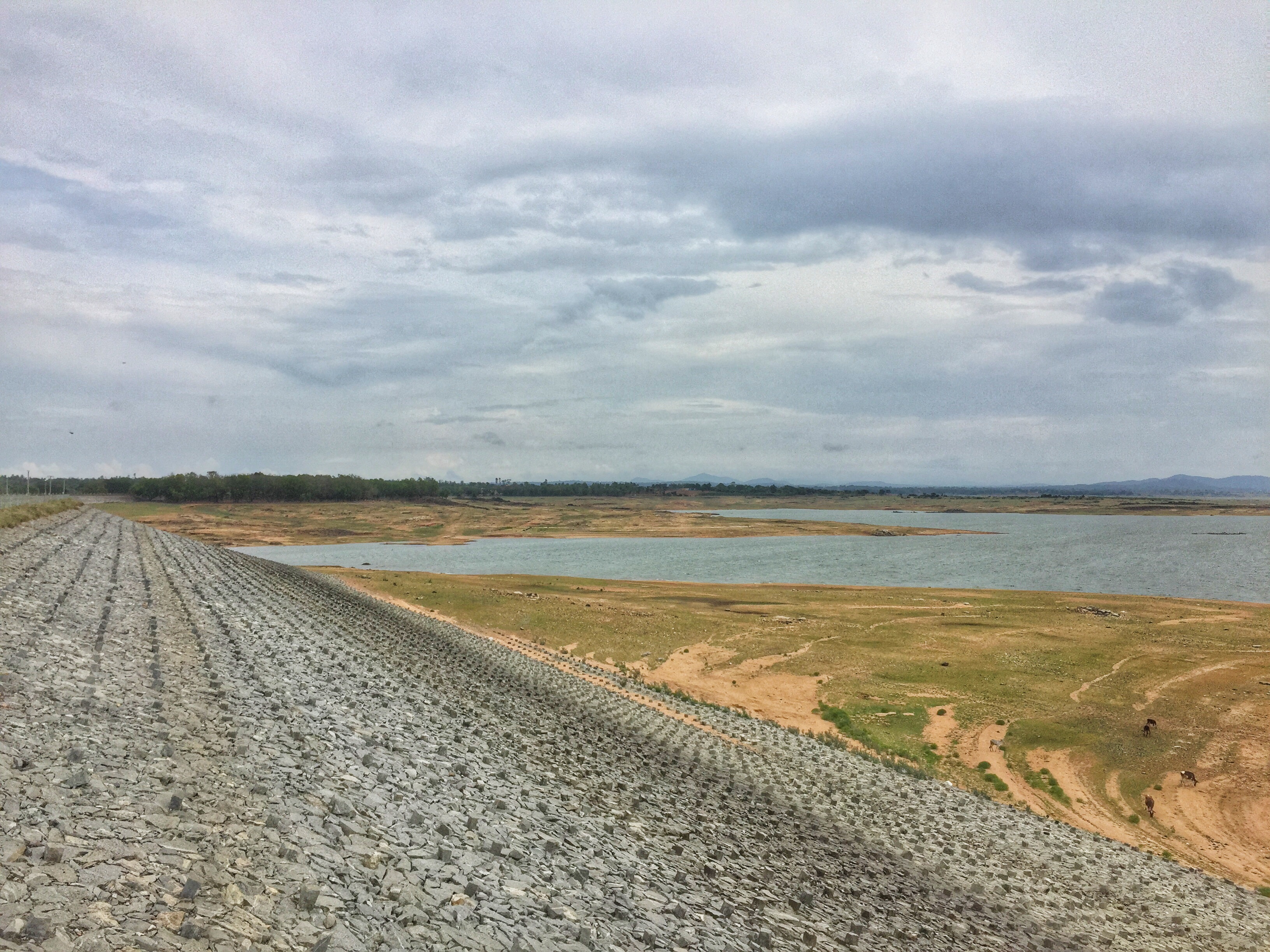
View from Gorur Dam
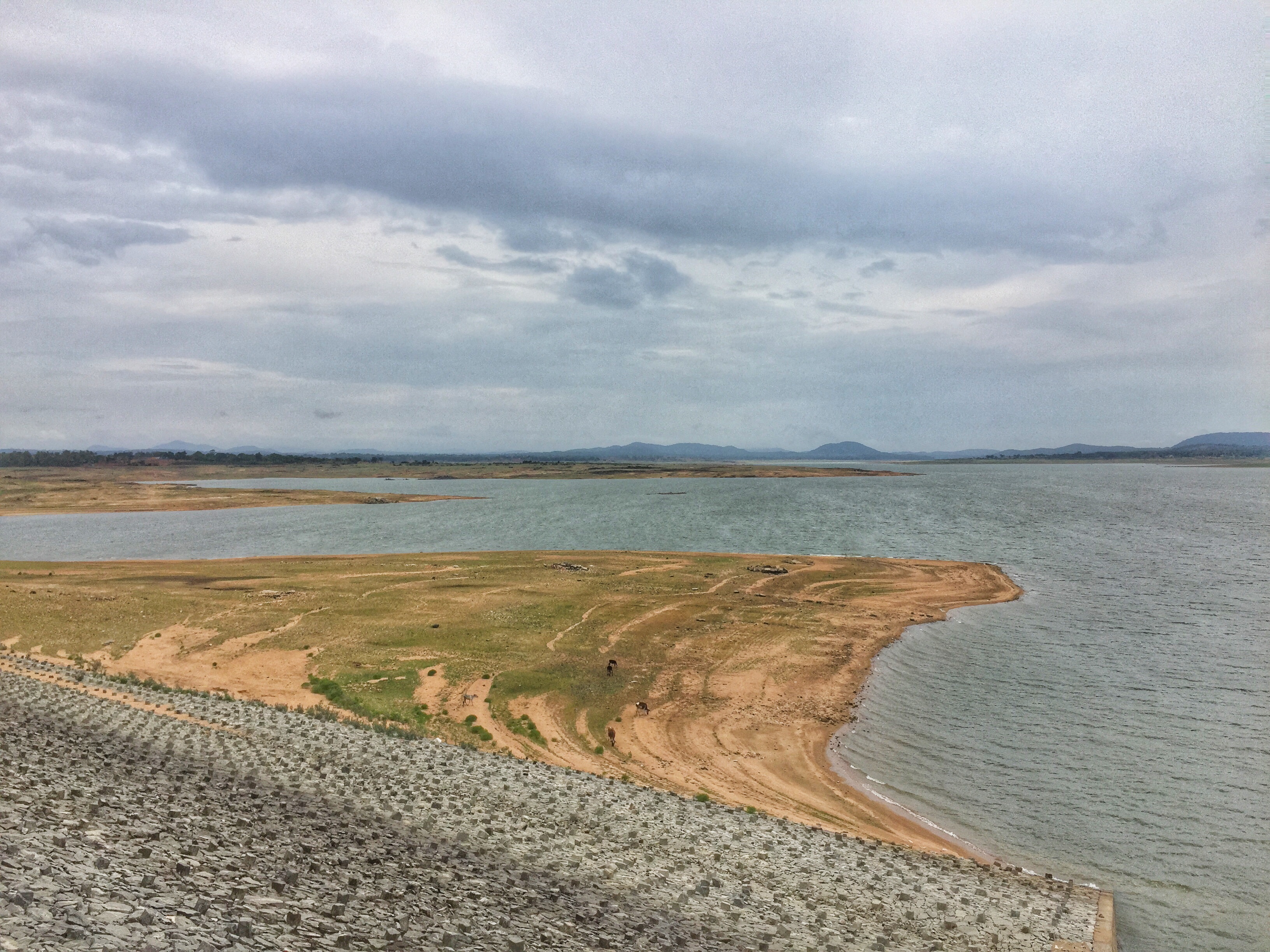
View from Gorur Dam
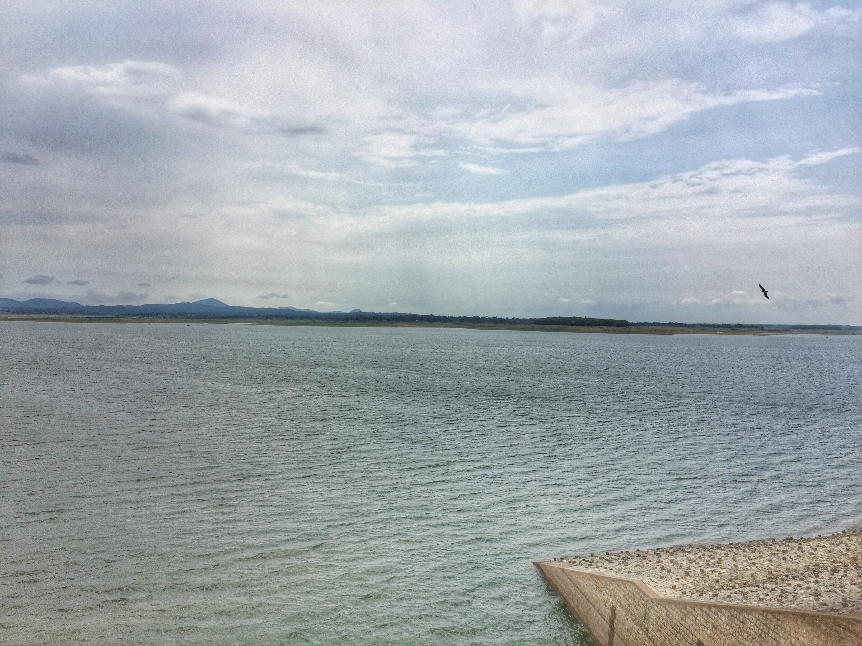
View from Gorur Dam
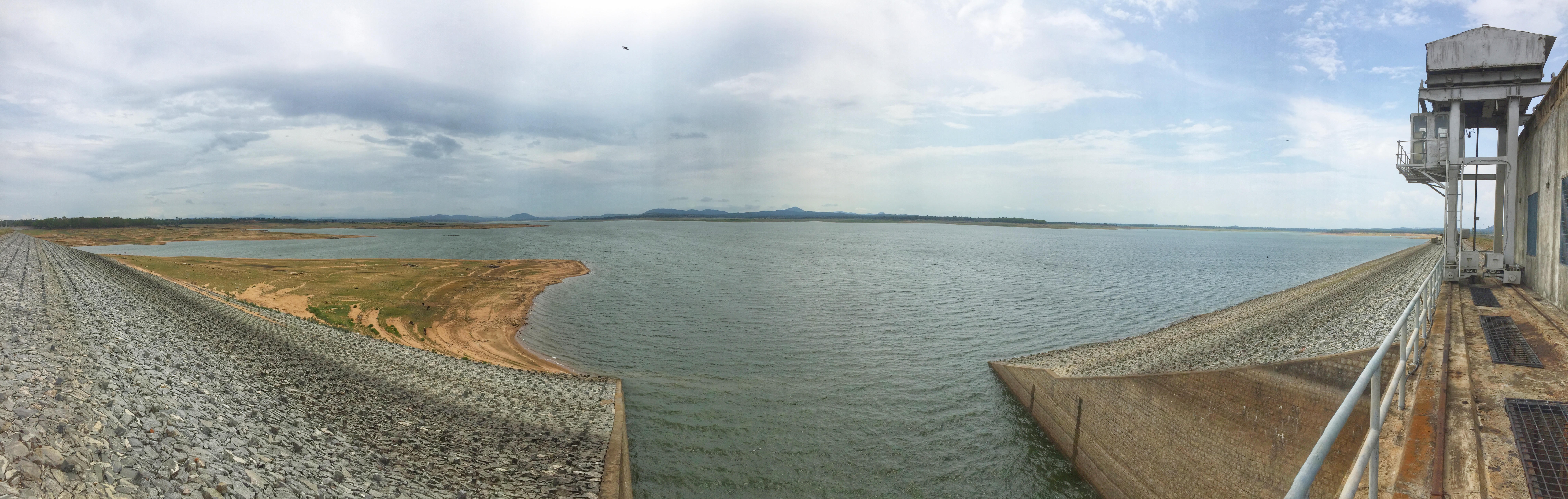
View from Gorur Dam
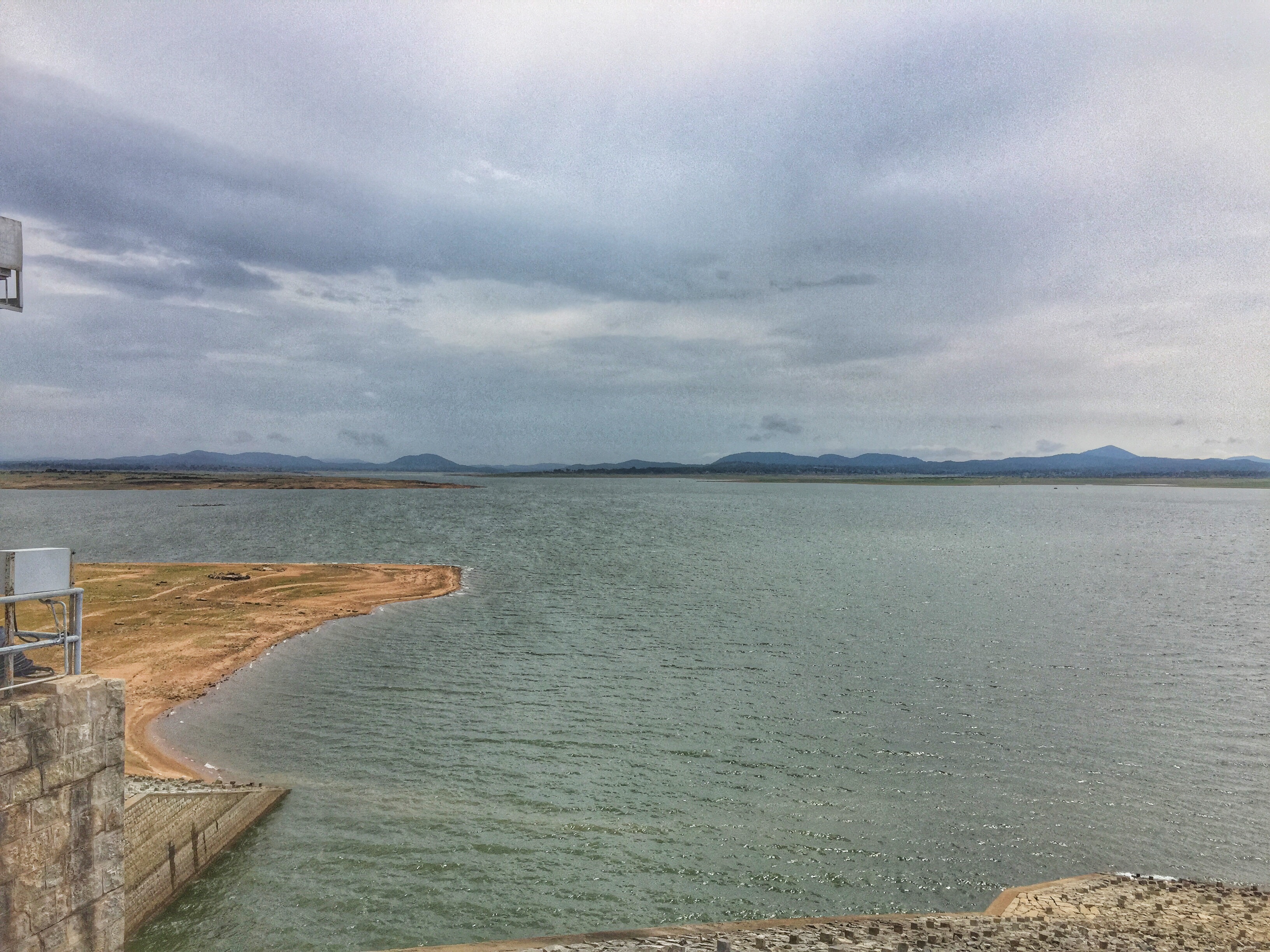
View from Gorur Dam
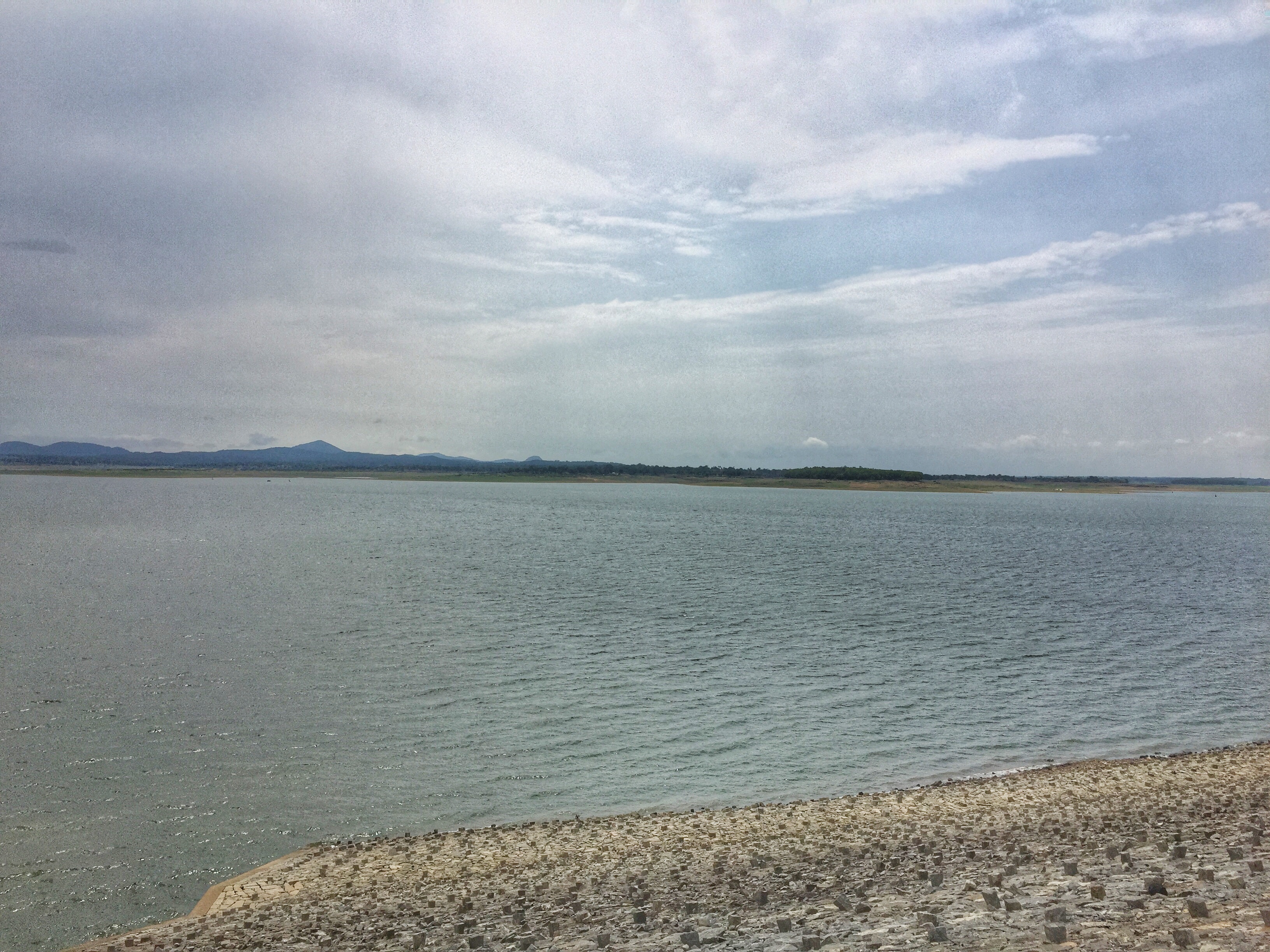
View from Gorur Dam
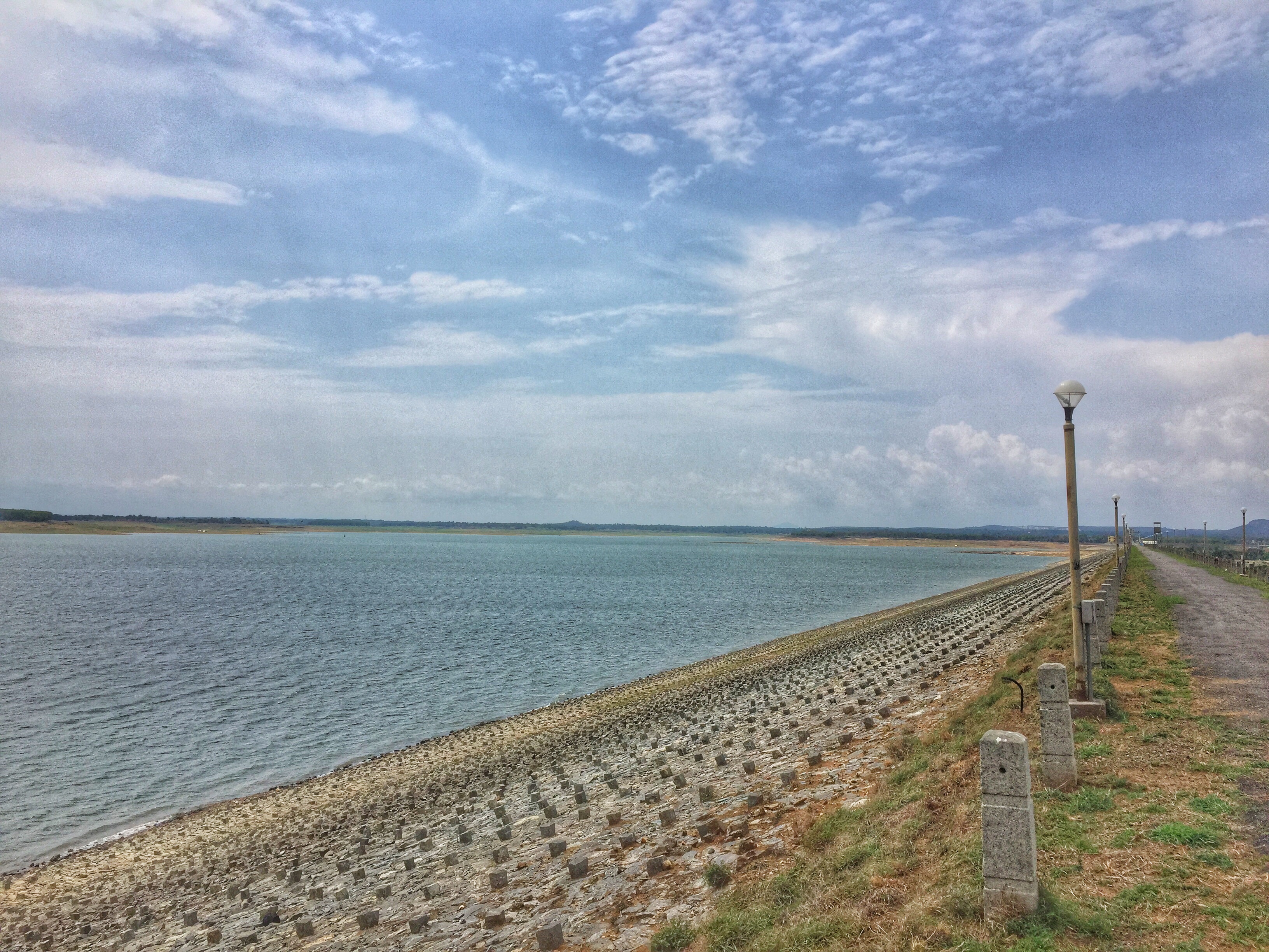
View from Gorur Dam
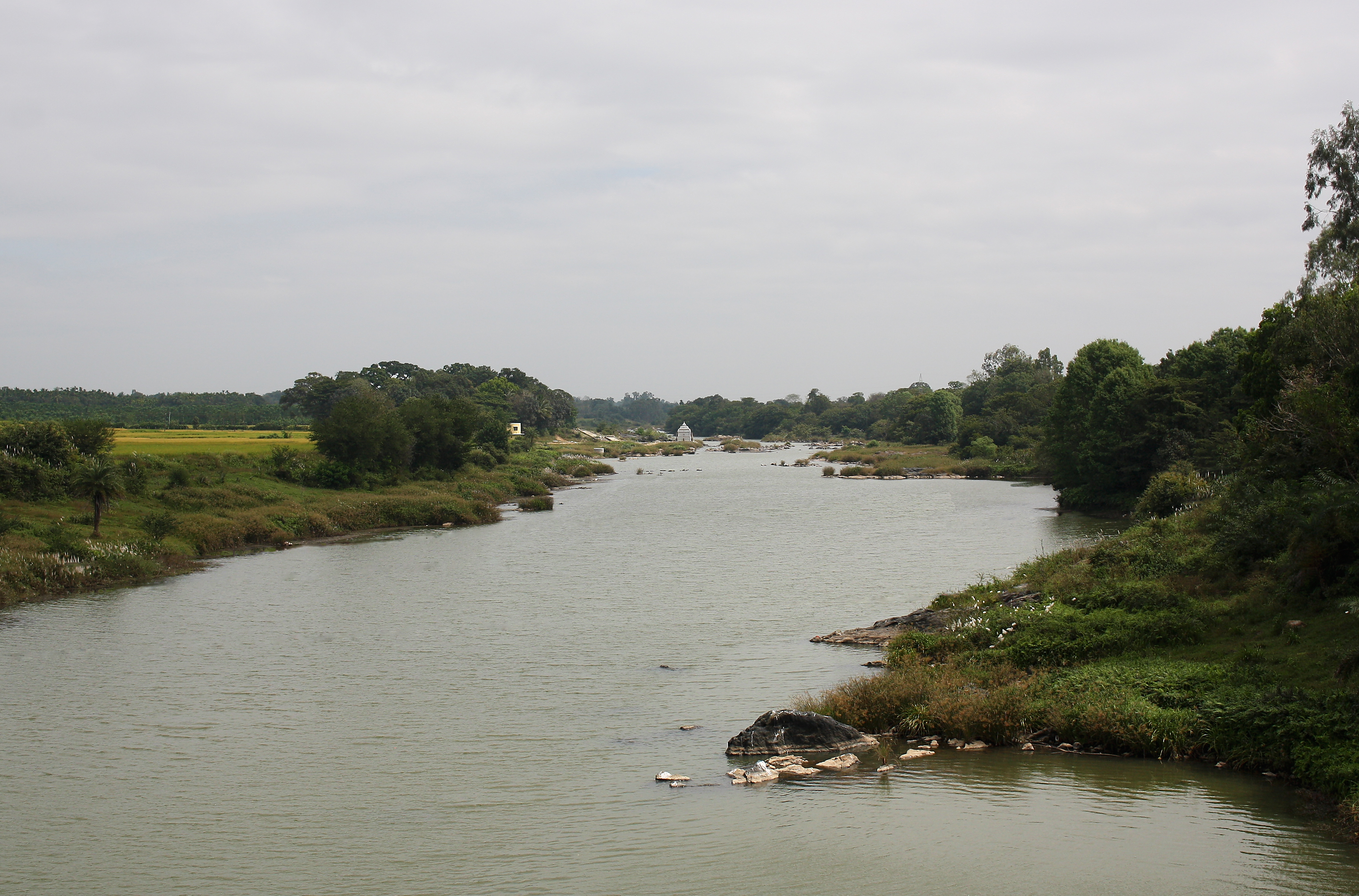
Hemavati river, Gorur
Hemavati bridge, Shettihalli Hassan
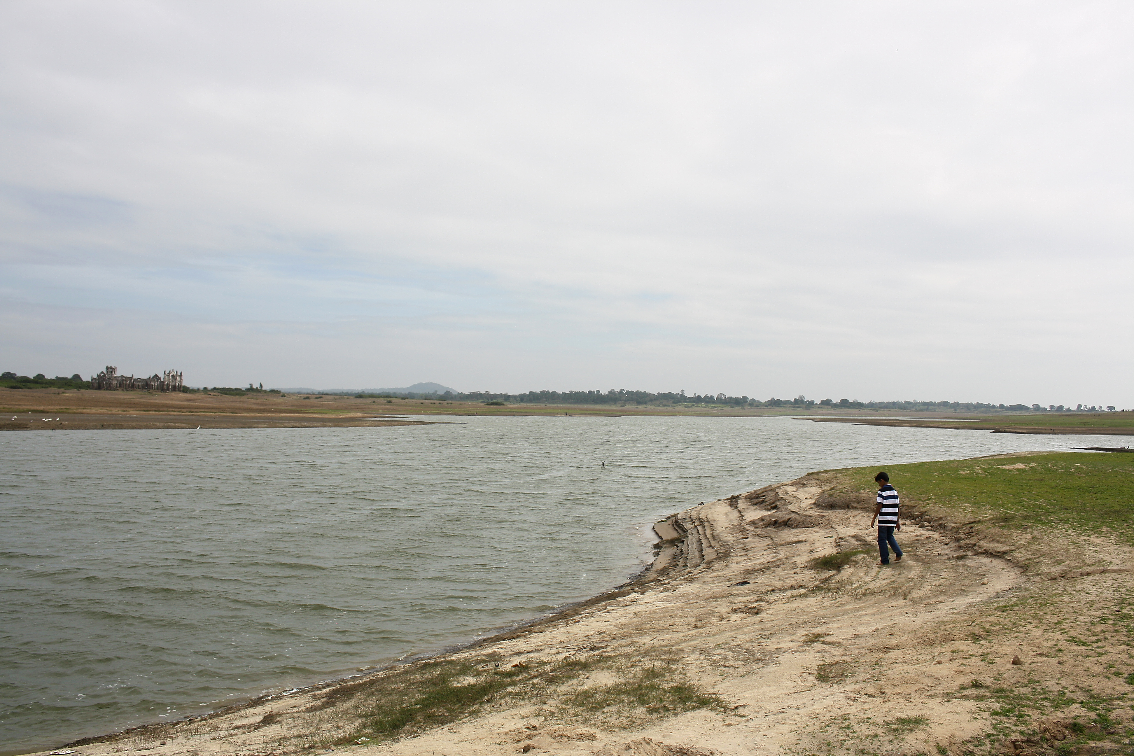
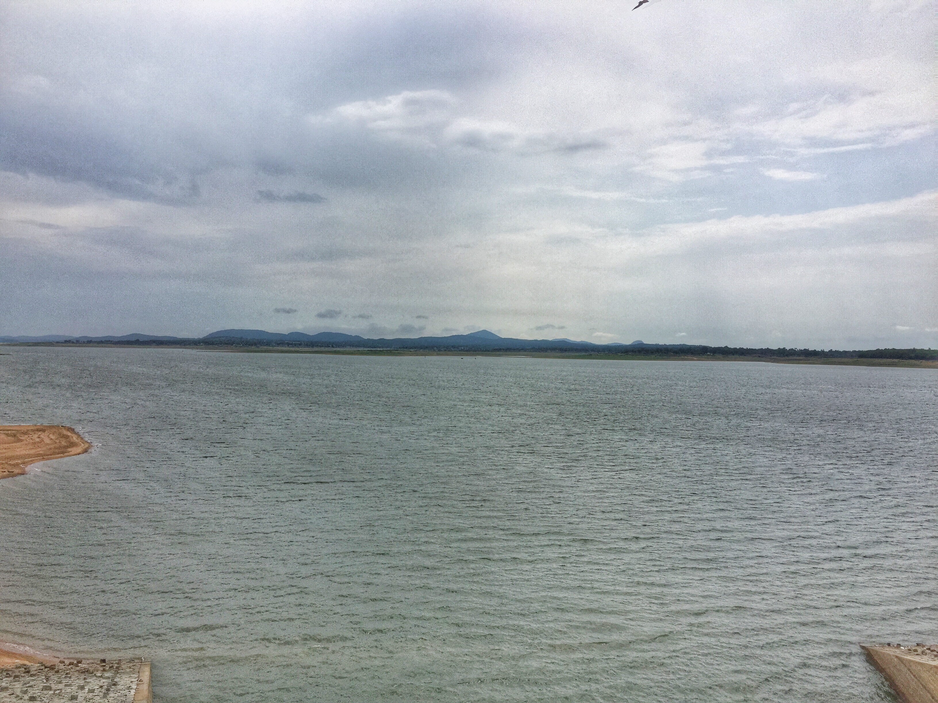
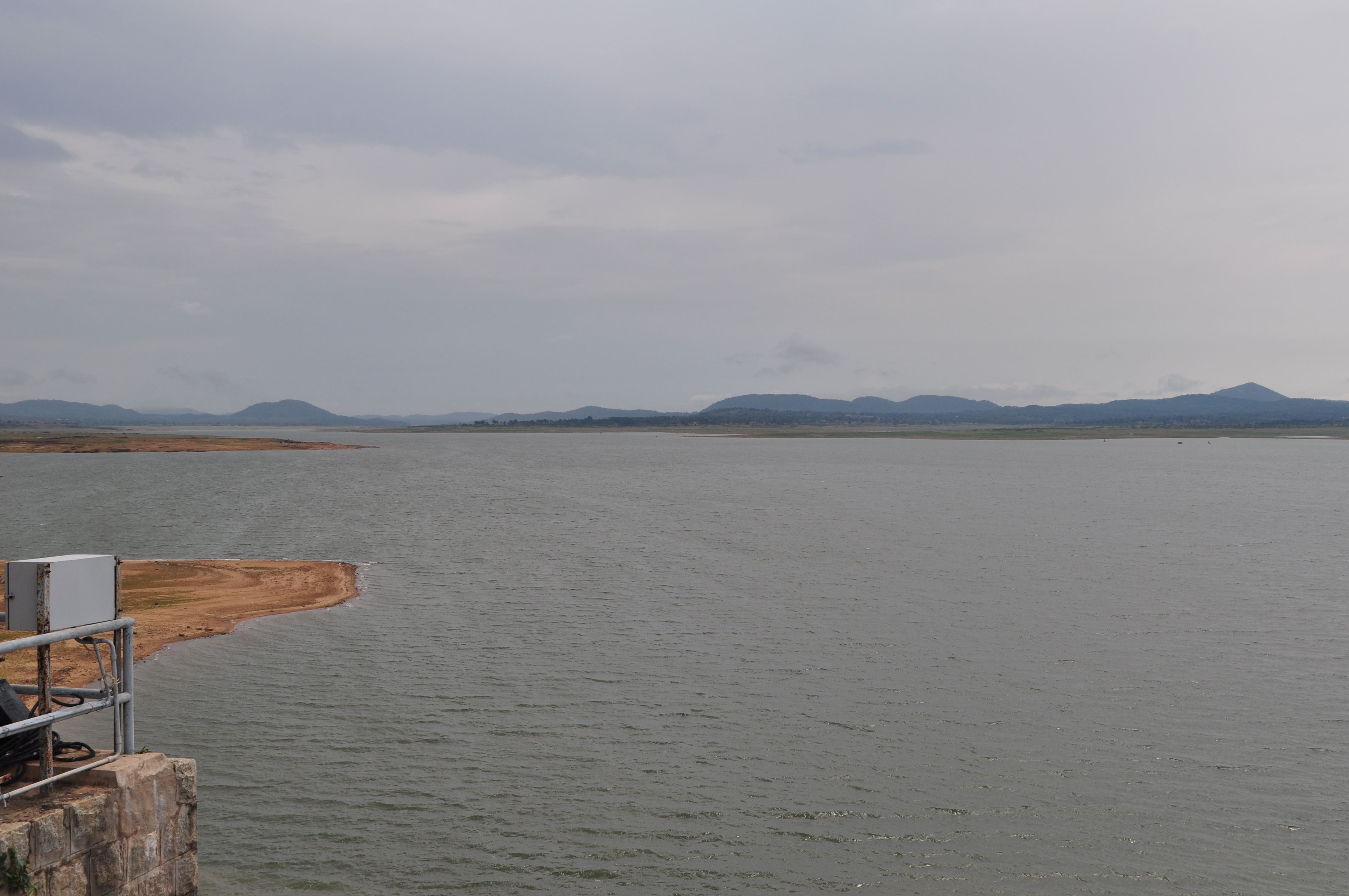
Gorur Dam reservoir
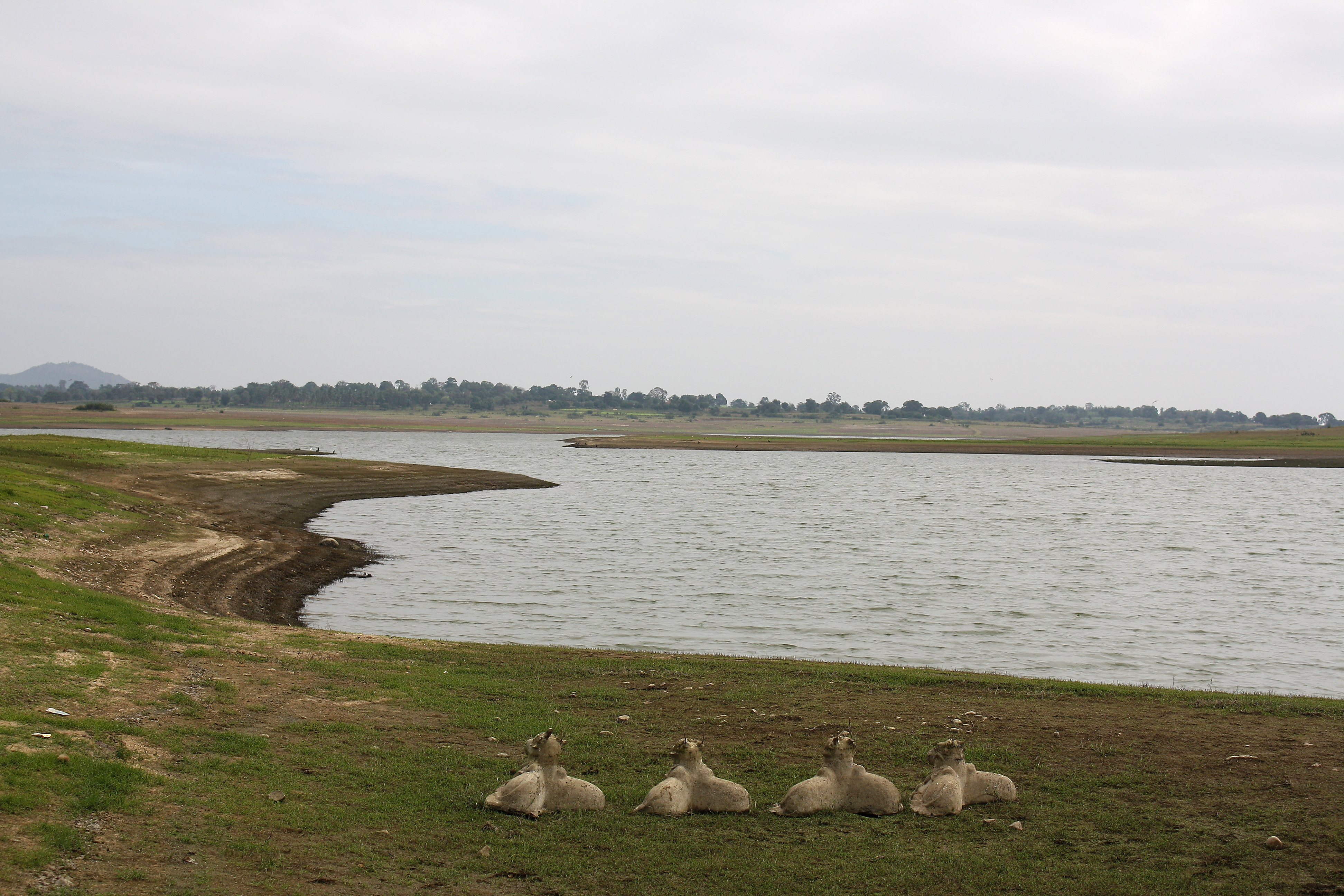
Gorur Dam reservoir
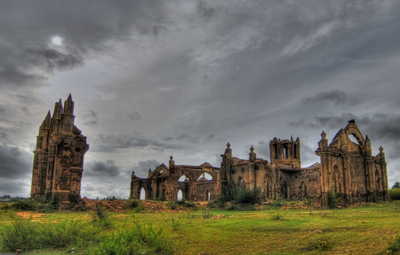
Shettihalli Church
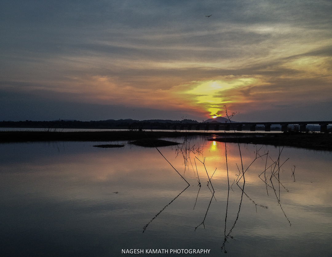
An idyllic sunset
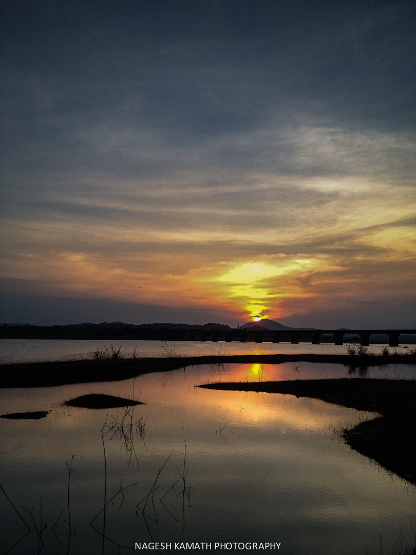
The golden orb sets
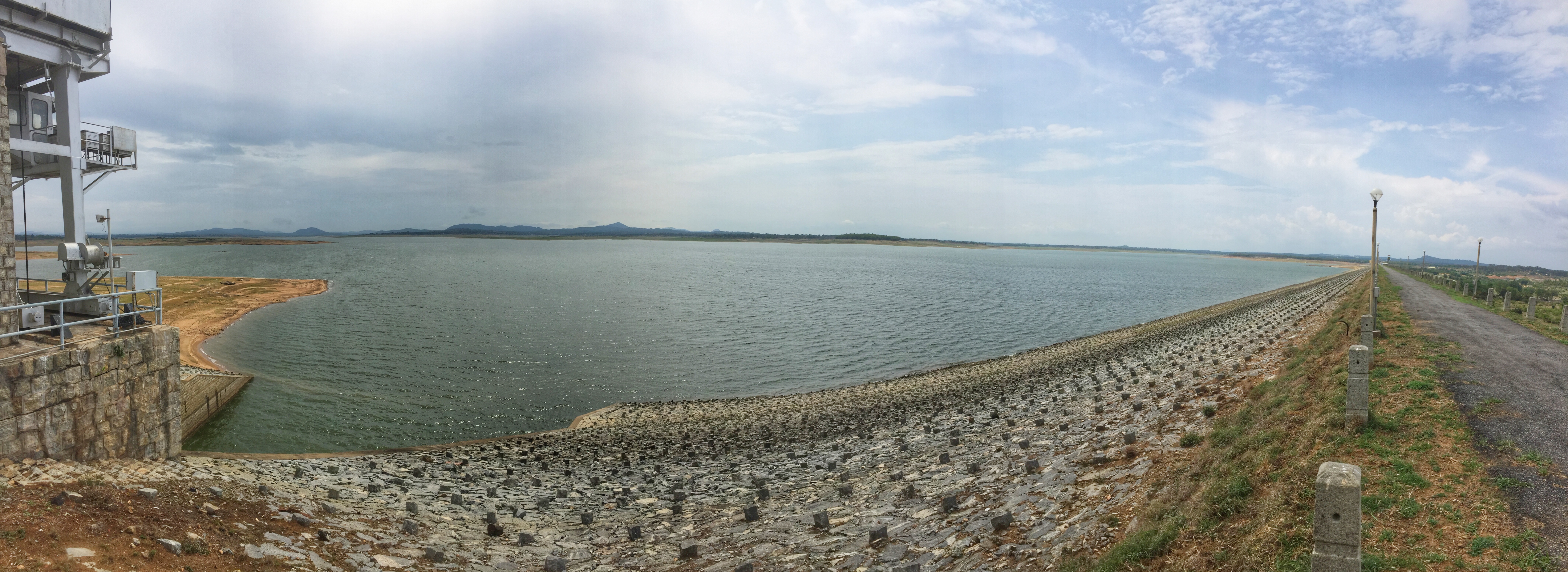
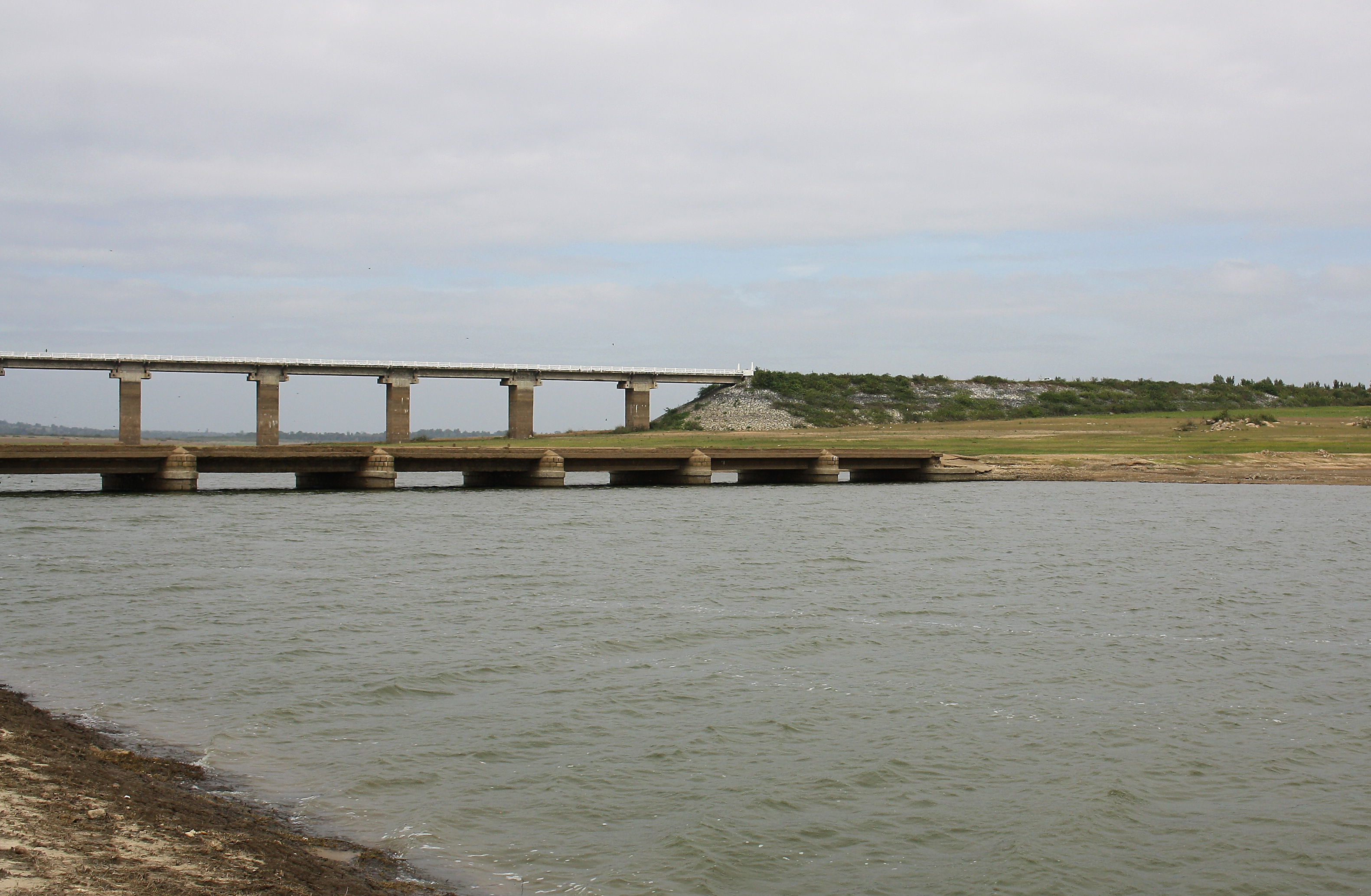
Gorur Dam

Gorur Dam

Shettihalli Church

Shettihalli Church

20151124-0864
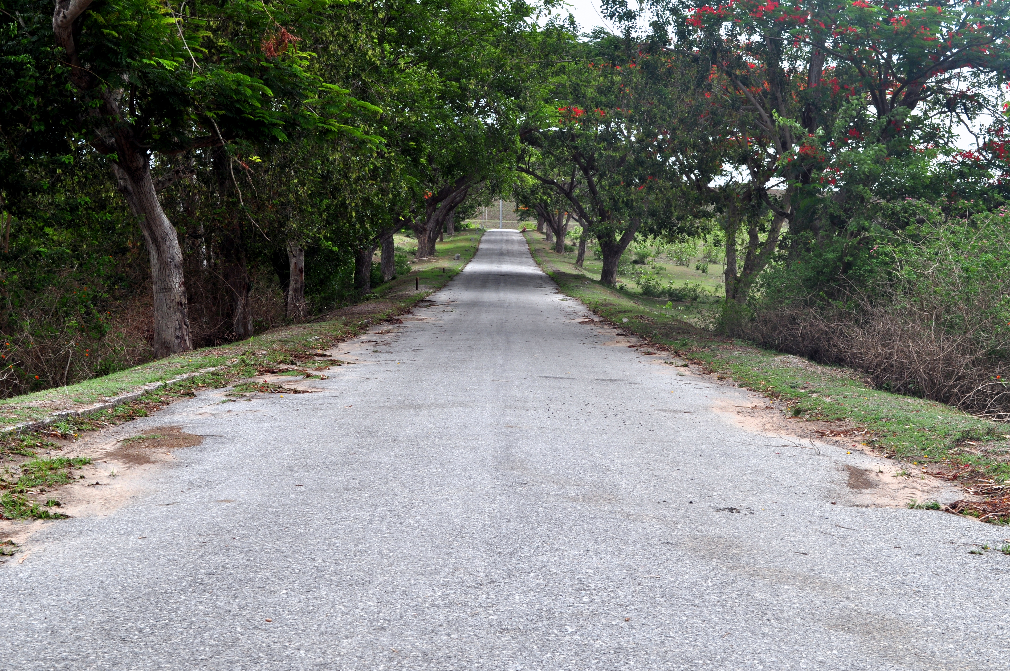
Roads to Gorur Dam
Topographic Map of Arakalagud, Karnataka, India
Find elevation by address:

Places near Arakalagud, Karnataka, India:
Gorur
Holenarasipur
Alur
Hassan
Bengaluru - Mangaluru Highway
Hassan
Channarayapattana
Shravanbela Gola (rural)
Halebeedu
Javagal
Arsikere
Tiptur
Tiptur
Halepalya
Bellur Cross
Sriramanuja Residency
Mayasandra
Kadur
Tumkur
Shreerampura Road
Recent Searches:
- Elevation of Corso Fratelli Cairoli, 35, Macerata MC, Italy
- Elevation of Tallevast Rd, Sarasota, FL, USA
- Elevation of 4th St E, Sonoma, CA, USA
- Elevation of Black Hollow Rd, Pennsdale, PA, USA
- Elevation of Oakland Ave, Williamsport, PA, USA
- Elevation of Pedrógão Grande, Portugal
- Elevation of Klee Dr, Martinsburg, WV, USA
- Elevation of Via Roma, Pieranica CR, Italy
- Elevation of Tavkvetili Mountain, Georgia
- Elevation of Hartfords Bluff Cir, Mt Pleasant, SC, USA