Elevation of Mayasandra, Karnataka, India
Location: India > Karnataka > Tumkur >
Longitude: 76.7524087
Latitude: 13.0874051
Elevation: 767m / 2516feet
Barometric Pressure: 92KPa
Elevation Map:
Satellite Map:
Related Photos:
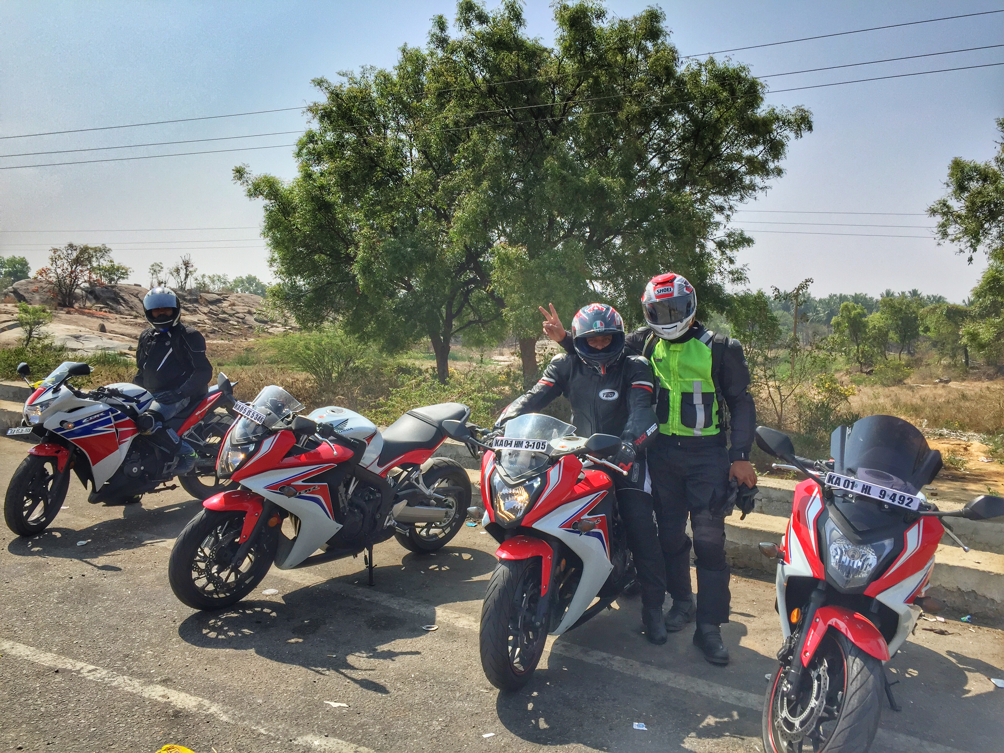
Avkash, Sheshadri & Me
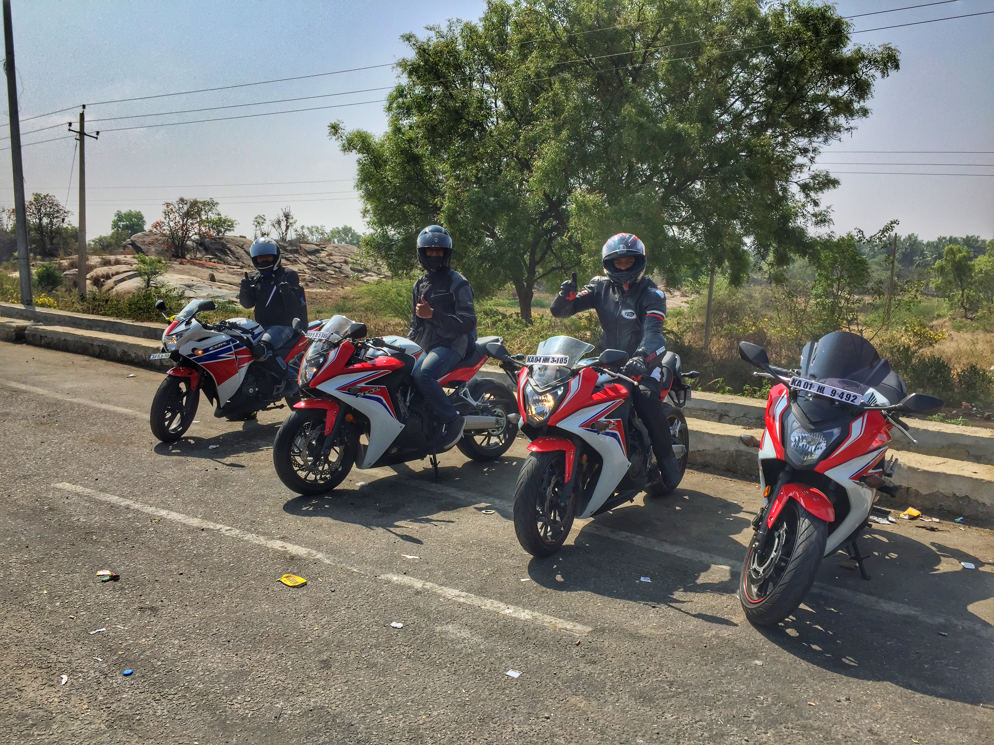
Avkash, Sheshadri & Sanjiv
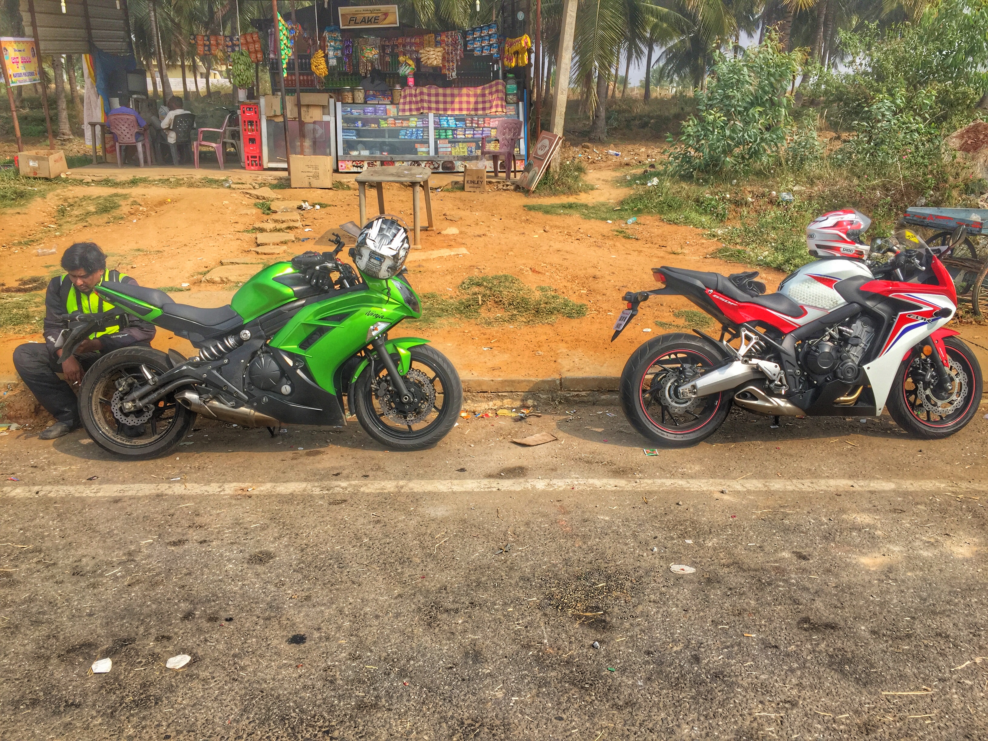
Pit stop on the way back
Ninja 650
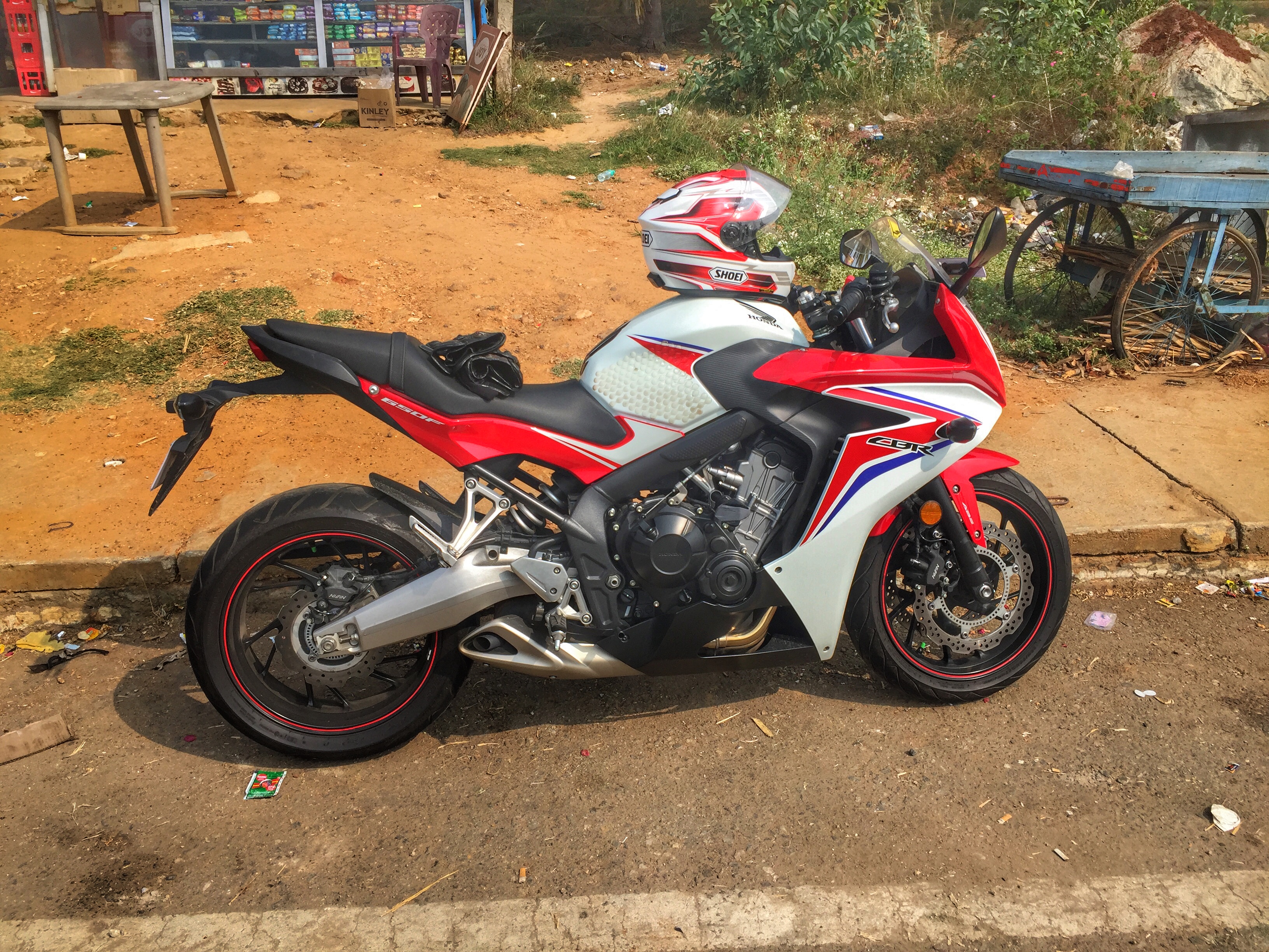
CBR 650F

Nice decor.

#coffeeshots #nofilter #ethiopian

Shashikala h d

Behind the scenes

Lost in thoughts

One of those days

Golden Boundary

#aztec #coffeeshots #strong

Plain. Yum.

#coffeeshots #nofilter

#nofilter #coffeeshots
And just like that.
Topographic Map of Mayasandra, Karnataka, India
Find elevation by address:

Places in Mayasandra, Karnataka, India:
Places near Mayasandra, Karnataka, India:
Sriramanuja Residency
Bellur Cross
Tumkur
Tiptur
Tiptur
Halepalya
Shravanbela Gola (rural)
Channarayapattana
Sadashivanagar
Tumakuru
Shivagange
Bengaluru - Mangaluru Highway
Bommanahalli
Arsikere
Savandurga Fort
Savandurga Hill
Savanadurga State Forest
Hassan
Holenarasipur
Obalapura
Recent Searches:
- Elevation of Corso Fratelli Cairoli, 35, Macerata MC, Italy
- Elevation of Tallevast Rd, Sarasota, FL, USA
- Elevation of 4th St E, Sonoma, CA, USA
- Elevation of Black Hollow Rd, Pennsdale, PA, USA
- Elevation of Oakland Ave, Williamsport, PA, USA
- Elevation of Pedrógão Grande, Portugal
- Elevation of Klee Dr, Martinsburg, WV, USA
- Elevation of Via Roma, Pieranica CR, Italy
- Elevation of Tavkvetili Mountain, Georgia
- Elevation of Hartfords Bluff Cir, Mt Pleasant, SC, USA