Elevation of Hosadurga, Karnataka, India
Location: India > Karnataka > Chitradurga >
Longitude: 76.2850567
Latitude: 13.7985261
Elevation: 722m / 2369feet
Barometric Pressure: 93KPa
Elevation Map:
Satellite Map:
Related Photos:
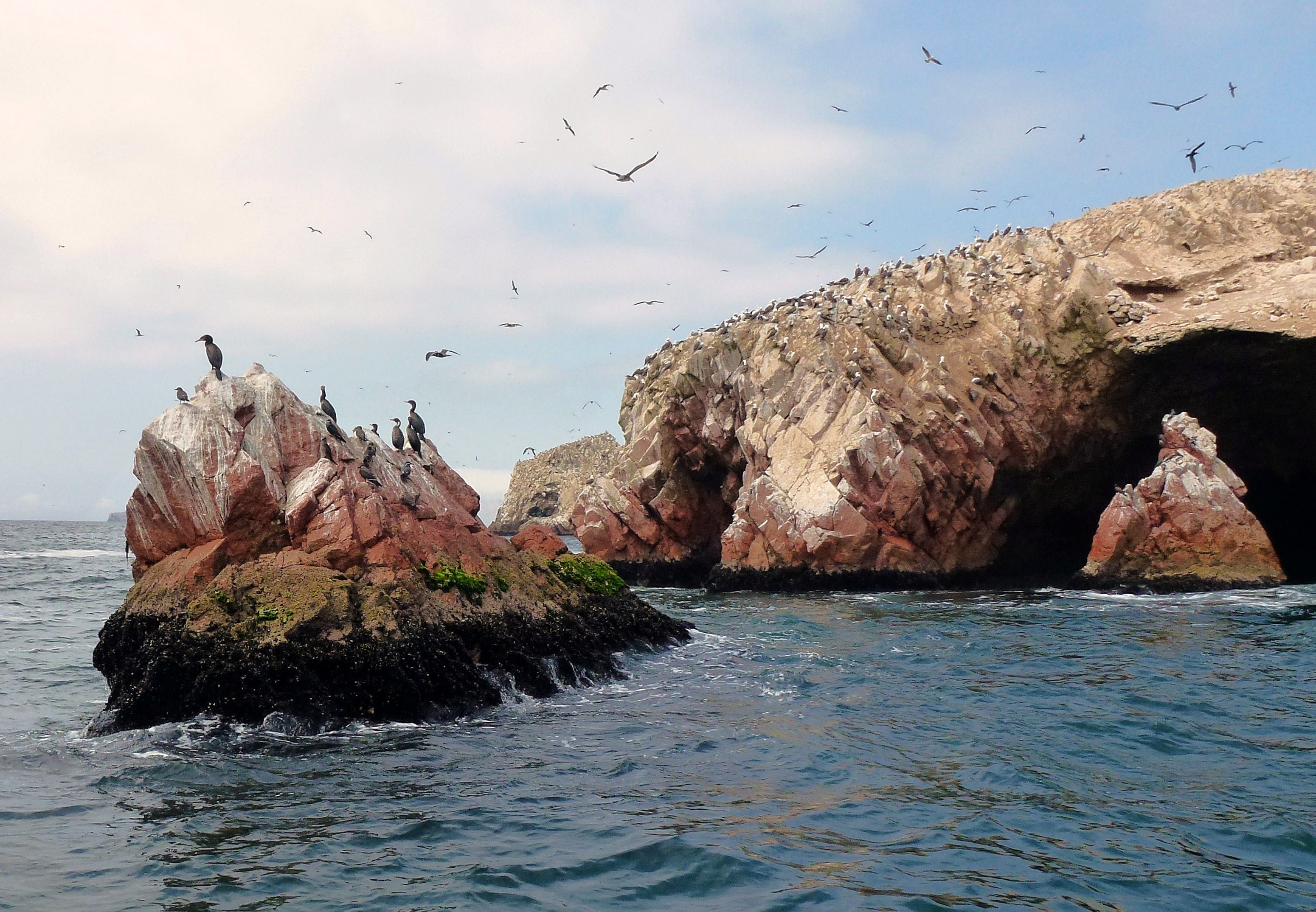
Pacaras.- la réserve (1)
Topographic Map of Hosadurga, Karnataka, India
Find elevation by address:

Places near Hosadurga, Karnataka, India:
Kanchipura
Shreerampura Road
Shreerampura Road
Shreerampura Road
Holalkere
Hiriyur
Bangalore Division
Kadur
Arsikere
Javagal
Tumkur
Halepalya
Tiptur
Tiptur
Sira
Halebeedu
Hassan
Deccan
Hassan
Bengaluru - Mangaluru Highway
Recent Searches:
- Elevation of Corso Fratelli Cairoli, 35, Macerata MC, Italy
- Elevation of Tallevast Rd, Sarasota, FL, USA
- Elevation of 4th St E, Sonoma, CA, USA
- Elevation of Black Hollow Rd, Pennsdale, PA, USA
- Elevation of Oakland Ave, Williamsport, PA, USA
- Elevation of Pedrógão Grande, Portugal
- Elevation of Klee Dr, Martinsburg, WV, USA
- Elevation of Via Roma, Pieranica CR, Italy
- Elevation of Tavkvetili Mountain, Georgia
- Elevation of Hartfords Bluff Cir, Mt Pleasant, SC, USA