Elevation of Sira, Karnataka, India
Location: India > Karnataka > Tumkur >
Longitude: 76.8989501
Latitude: 13.7447631
Elevation: 662m / 2172feet
Barometric Pressure: 94KPa
Elevation Map:
Satellite Map:
Related Photos:
Evening walks

Idli anyone? #WHPemojisinthewild #????

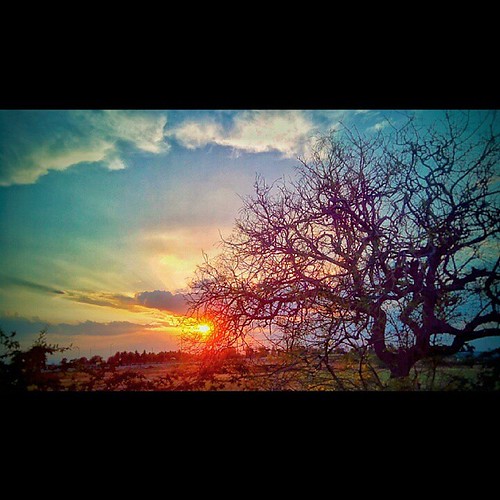
Fiery skies

Dr Y Jayaram

When you're bored at home...

Kitty Cat!
Topographic Map of Sira, Karnataka, India
Find elevation by address:

Places near Sira, Karnataka, India:
Bangalore Division
Deccan
Madhugiri
Hiriyur
Bommanahalli
Koratagere
Shreerampura Road
Shreerampura Road
Shreerampura Road
Kanchipura
Tumkur
Sadashivanagar
Tumakuru
Hosadurga
Halepalya
Tiptur
Tiptur
Obalapura
Shivagange
Mayasandra
Recent Searches:
- Elevation of Corso Fratelli Cairoli, 35, Macerata MC, Italy
- Elevation of Tallevast Rd, Sarasota, FL, USA
- Elevation of 4th St E, Sonoma, CA, USA
- Elevation of Black Hollow Rd, Pennsdale, PA, USA
- Elevation of Oakland Ave, Williamsport, PA, USA
- Elevation of Pedrógão Grande, Portugal
- Elevation of Klee Dr, Martinsburg, WV, USA
- Elevation of Via Roma, Pieranica CR, Italy
- Elevation of Tavkvetili Mountain, Georgia
- Elevation of Hartfords Bluff Cir, Mt Pleasant, SC, USA