Elevation of Trail Rd, Herington, KS, USA
Location: United States > Kansas > Dickinson County > Herington >
Longitude: -96.990244
Latitude: 38.6885059
Elevation: 394m / 1293feet
Barometric Pressure: 97KPa
Elevation Map:
Satellite Map:
Related Photos:

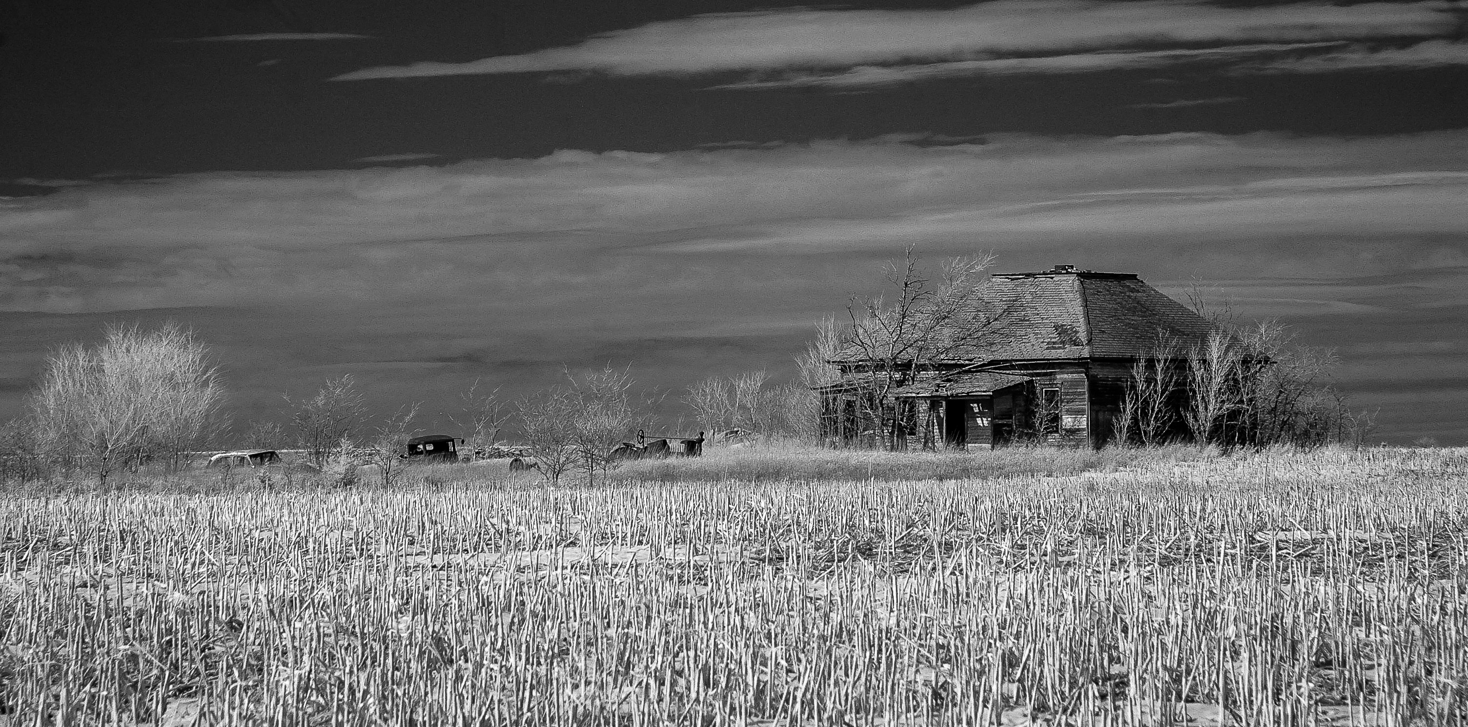
lost souls
Moved On

horse/sunset

The Wheat

Walking on a road

wind/sun
Herington, Kansas

Camera Roll-1069

Camera Roll-3080
Herington, KS
Make America Great Again

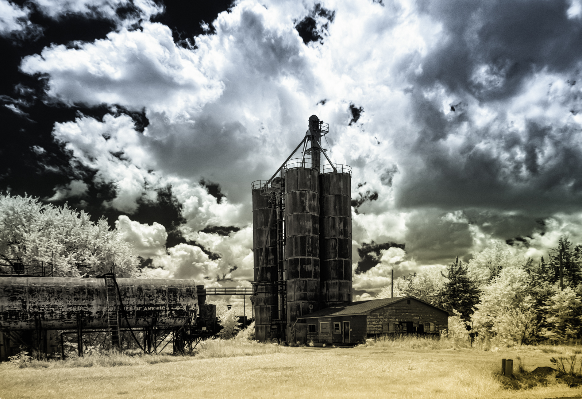
Ramona Co-op (explore)
Ramona, Kansas

Beer Me

Lost Springs Church Revisted (explore)
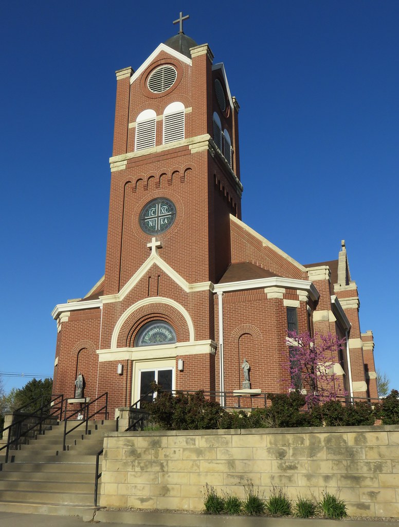
Saint Johns Catholic Church (Herington, Kansas)
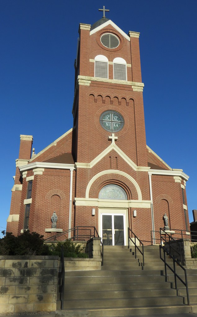
Saint Johns Catholic Church (Herington, Kansas)
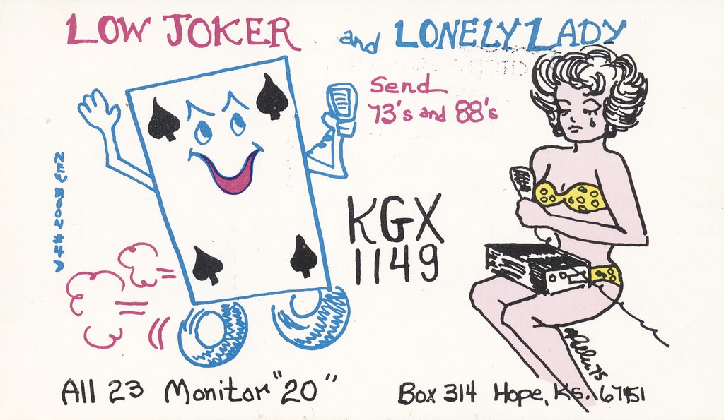
New Moon #4: Low Joker & Lonely Lady - Hope, Kansas
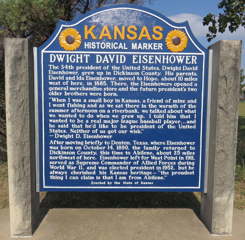
Dwight David Eisenhower Marker (Herington, Kansas)
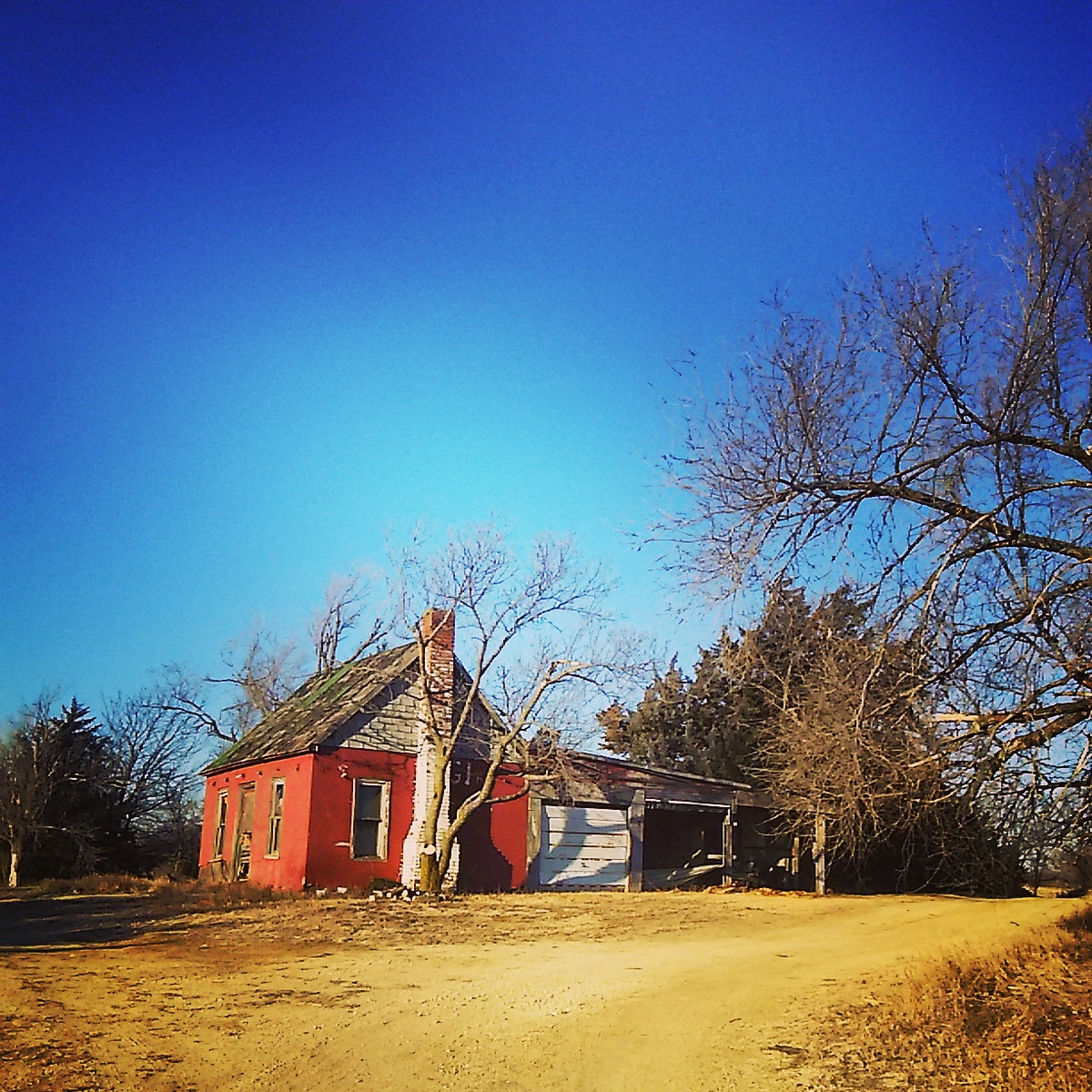
Abandoned near Abilene , Kansas

Double Dark
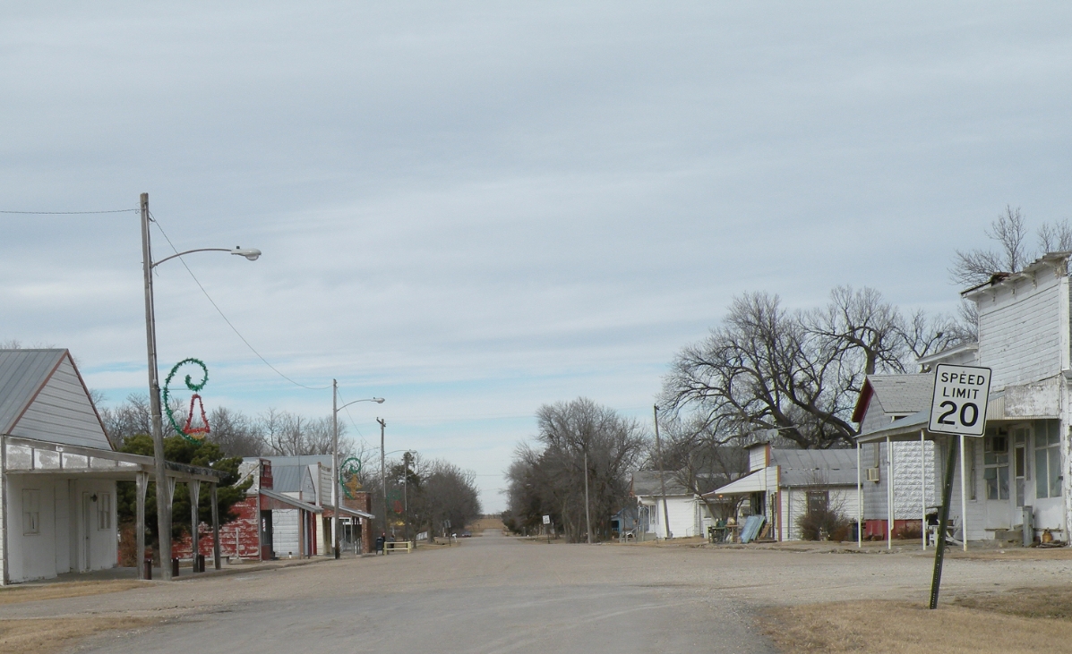
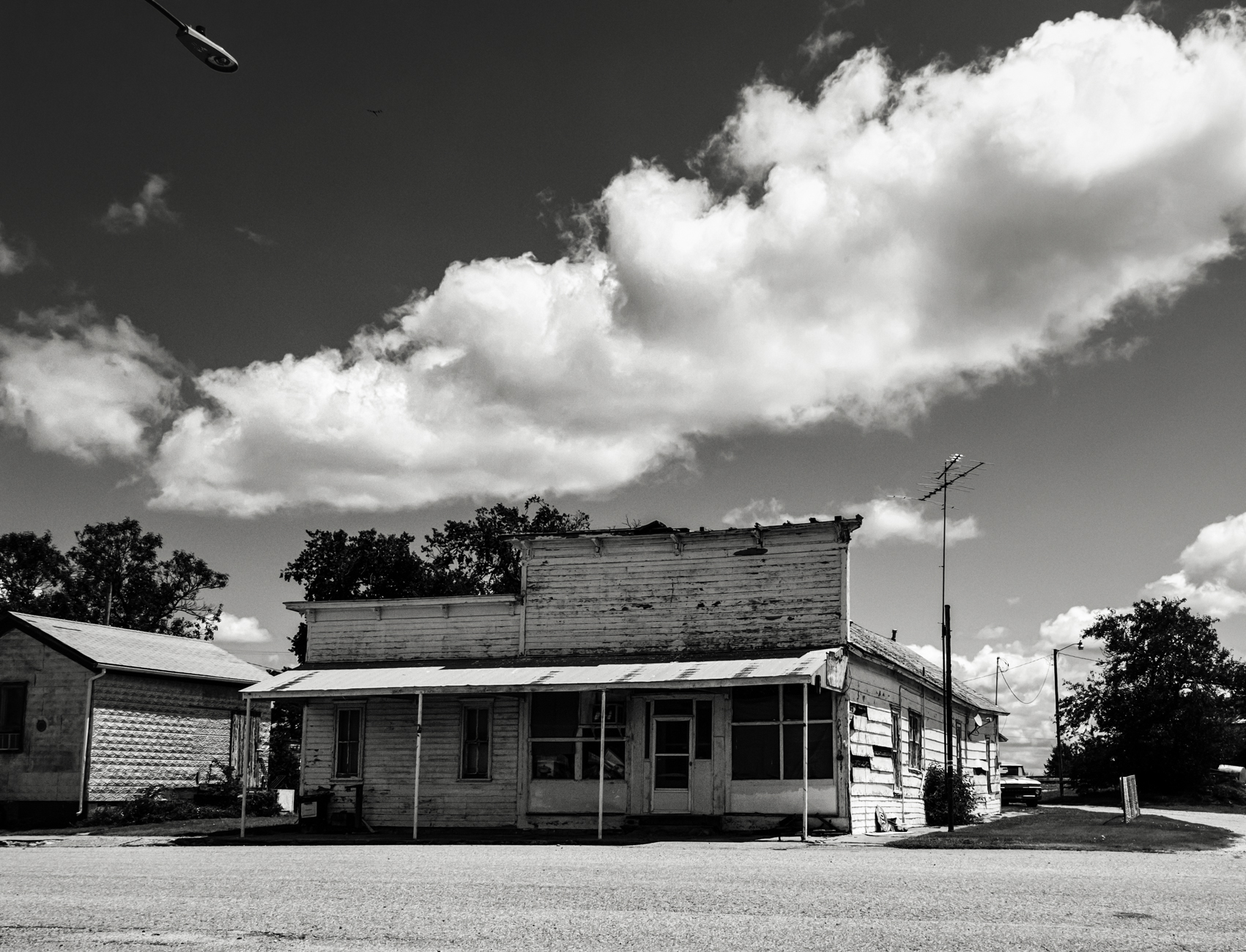
Downtown Business District
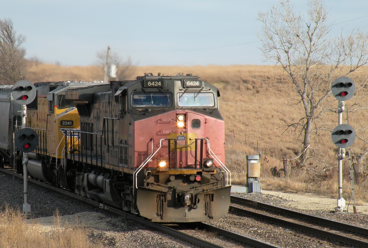
UP 6424 West
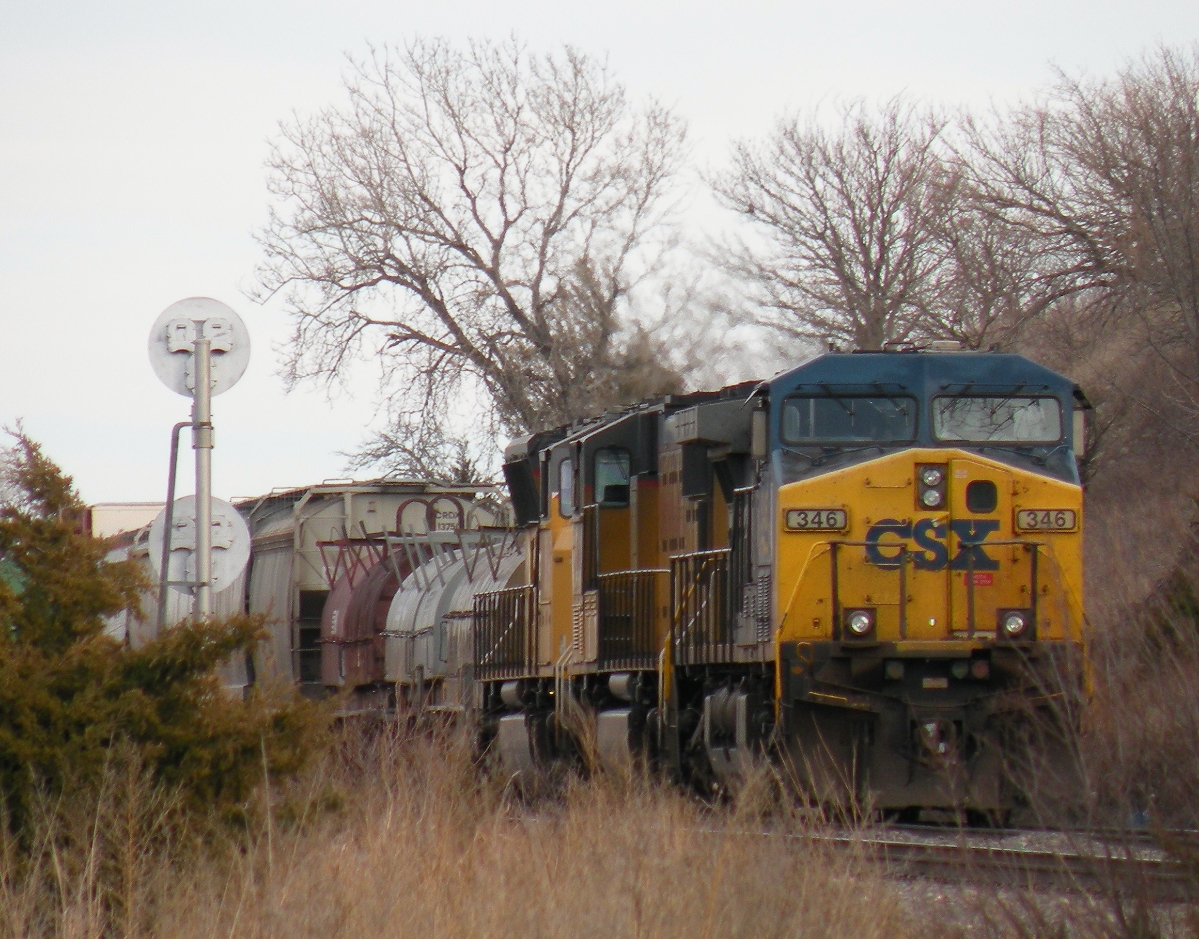
CSX 346 West
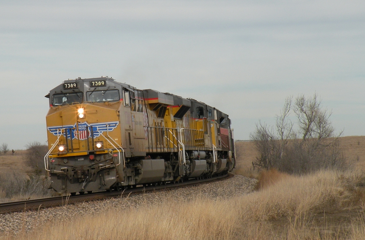
UP 7389 West
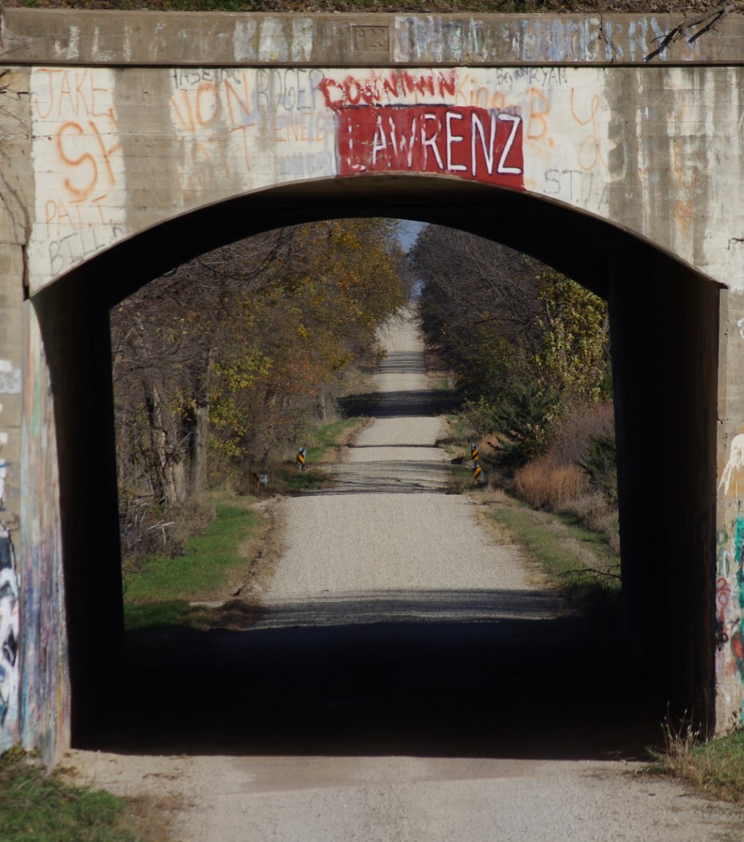
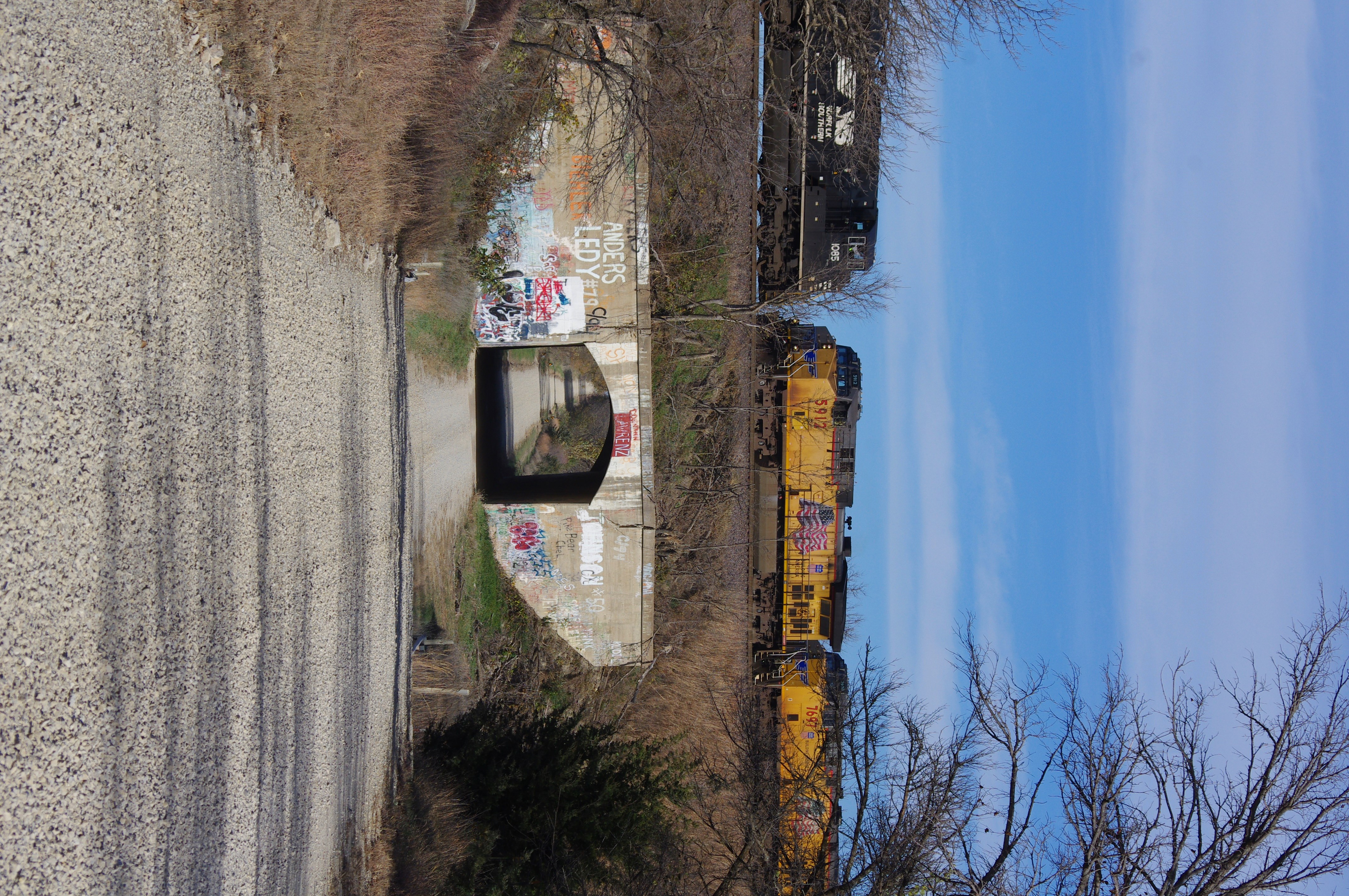
Vane Road "Tunnel"
Perfect Timing
Navarre Depot
Topographic Map of Trail Rd, Herington, KS, USA
Find elevation by address:

Places near Trail Rd, Herington, KS, USA:
17 E Main St, Herington, KS, USA
Herington
Lyon
Ave, Ramona, KS, USA
Woodbine
4 E Railway Ave, Woodbine, KS, USA
Liberty
Burdick
Lincolnville
Kansas St, Lincolnville, KS, USA
8, KS, USA
Clear Creek
Unicorn Rd, Lincolnville, KS, USA
5, KS, USA
White City
Lyon
Bb Ave, Burdick, KS, USA
W 6th St, Chapman, KS, USA
Chapman
320 W 6th St
Recent Searches:
- Elevation of Corso Fratelli Cairoli, 35, Macerata MC, Italy
- Elevation of Tallevast Rd, Sarasota, FL, USA
- Elevation of 4th St E, Sonoma, CA, USA
- Elevation of Black Hollow Rd, Pennsdale, PA, USA
- Elevation of Oakland Ave, Williamsport, PA, USA
- Elevation of Pedrógão Grande, Portugal
- Elevation of Klee Dr, Martinsburg, WV, USA
- Elevation of Via Roma, Pieranica CR, Italy
- Elevation of Tavkvetili Mountain, Georgia
- Elevation of Hartfords Bluff Cir, Mt Pleasant, SC, USA