Elevation of White City, KS, USA
Location: United States > Kansas > Morris County > >
Longitude: -96.735841
Latitude: 38.7955599
Elevation: 451m / 1480feet
Barometric Pressure: 96KPa
Elevation Map:
Satellite Map:
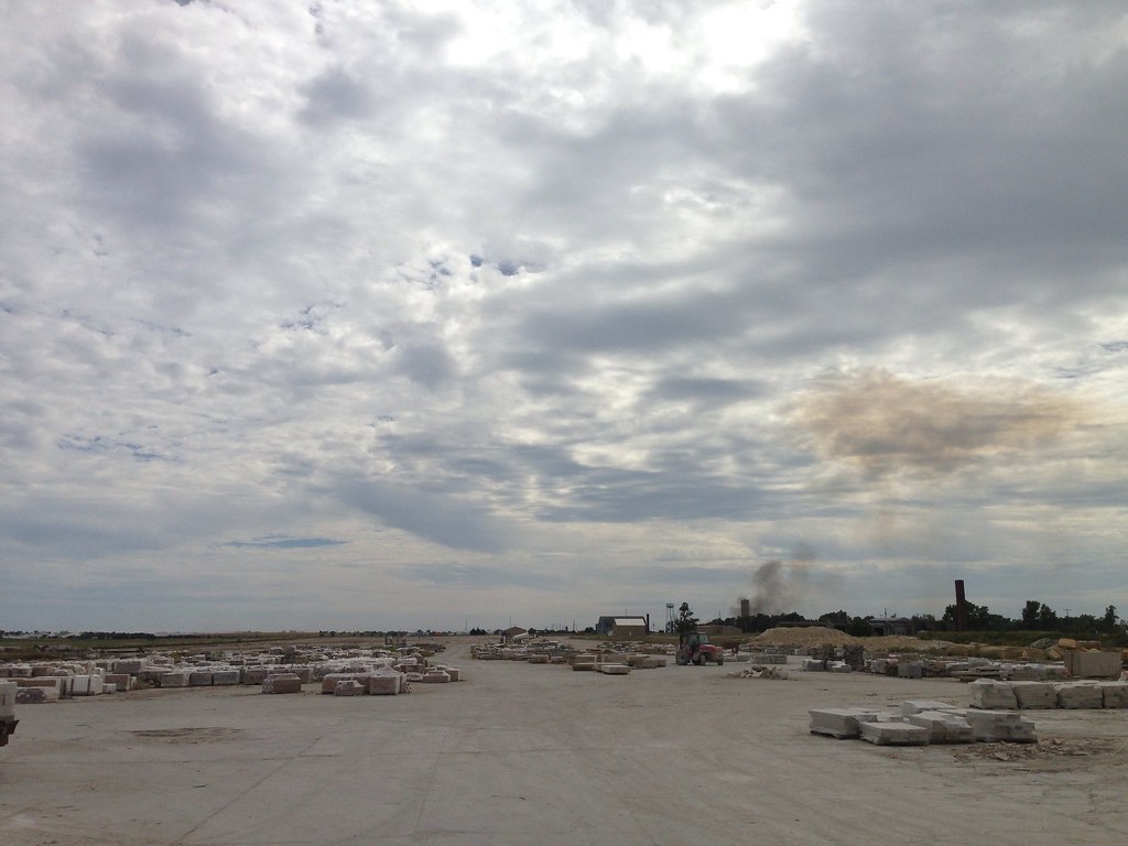
Related Photos:
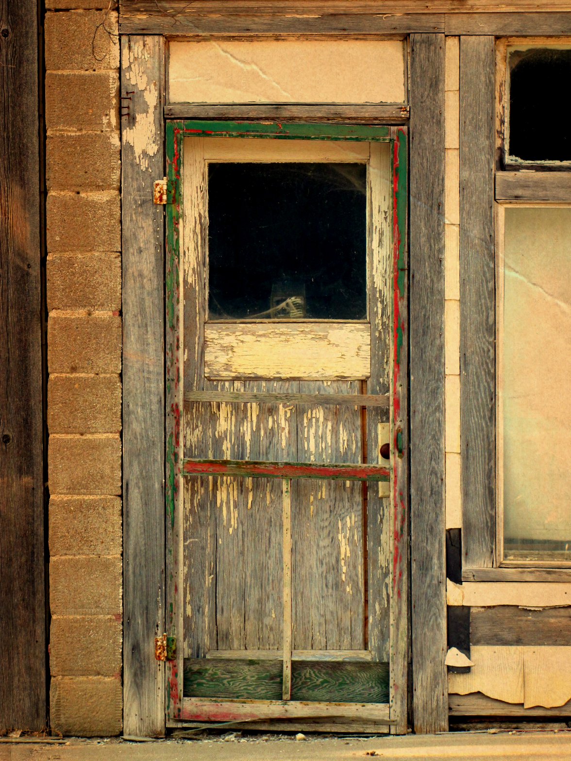
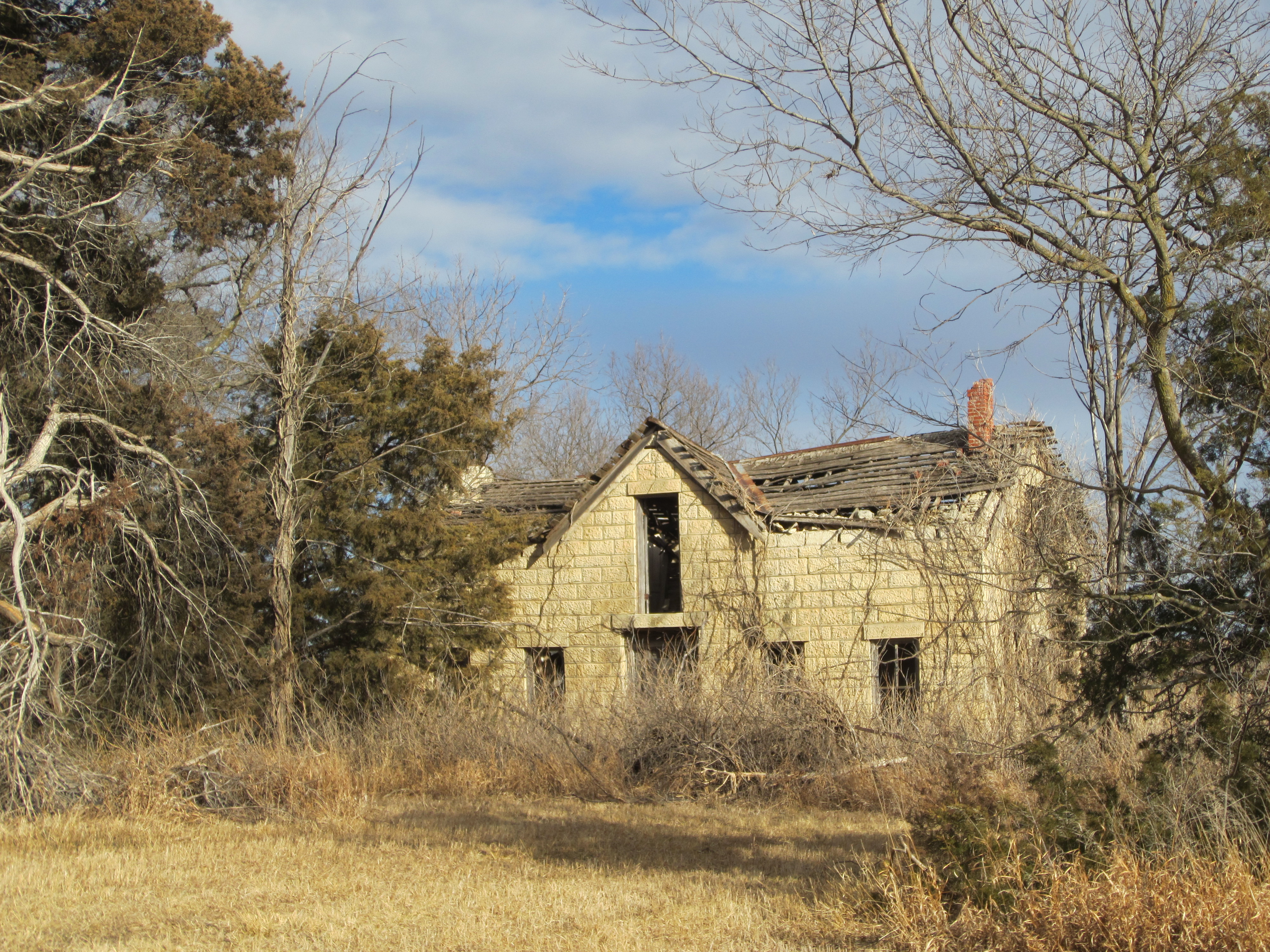
Doorway of death
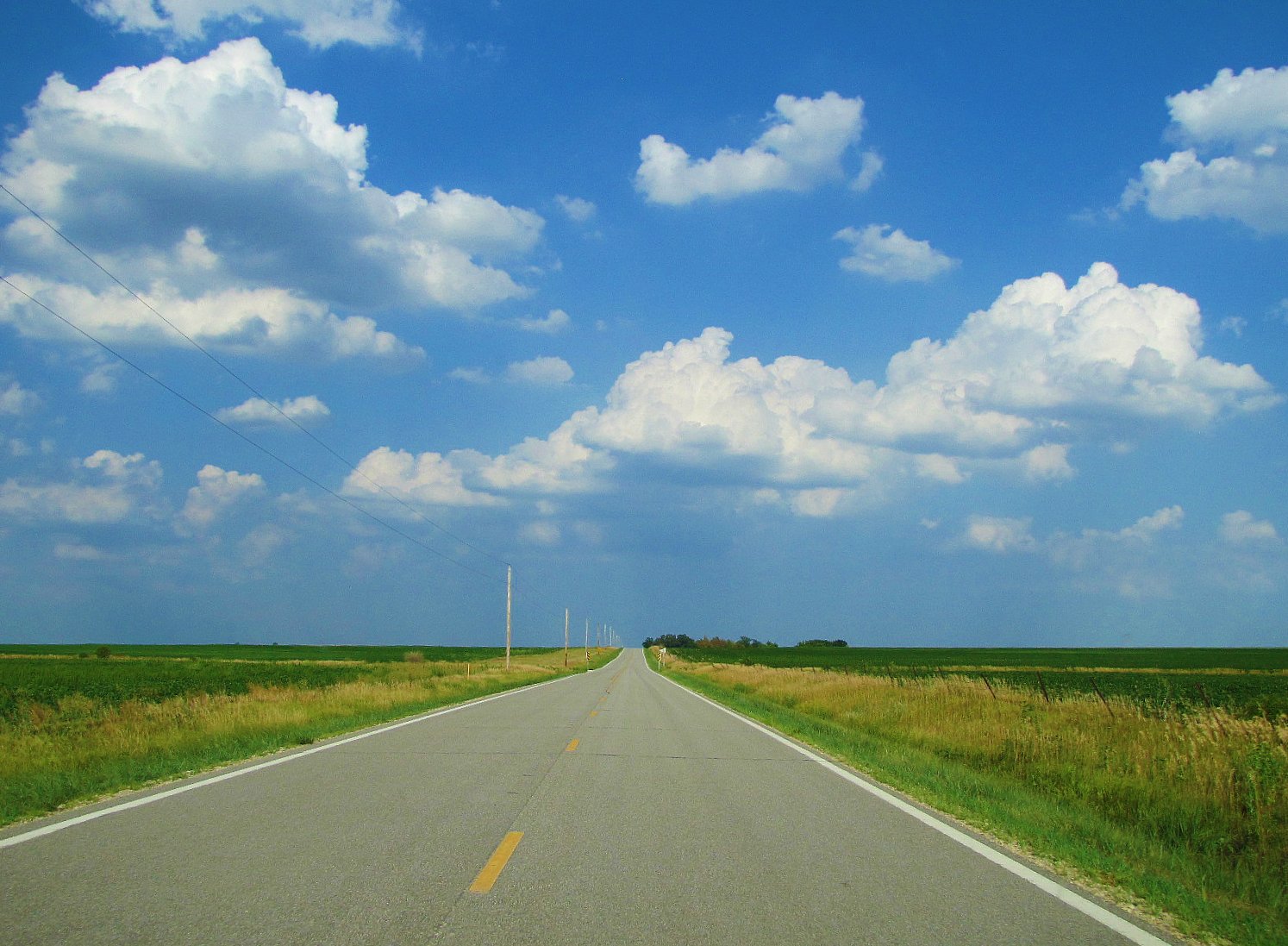
Two lane prairie asphalt
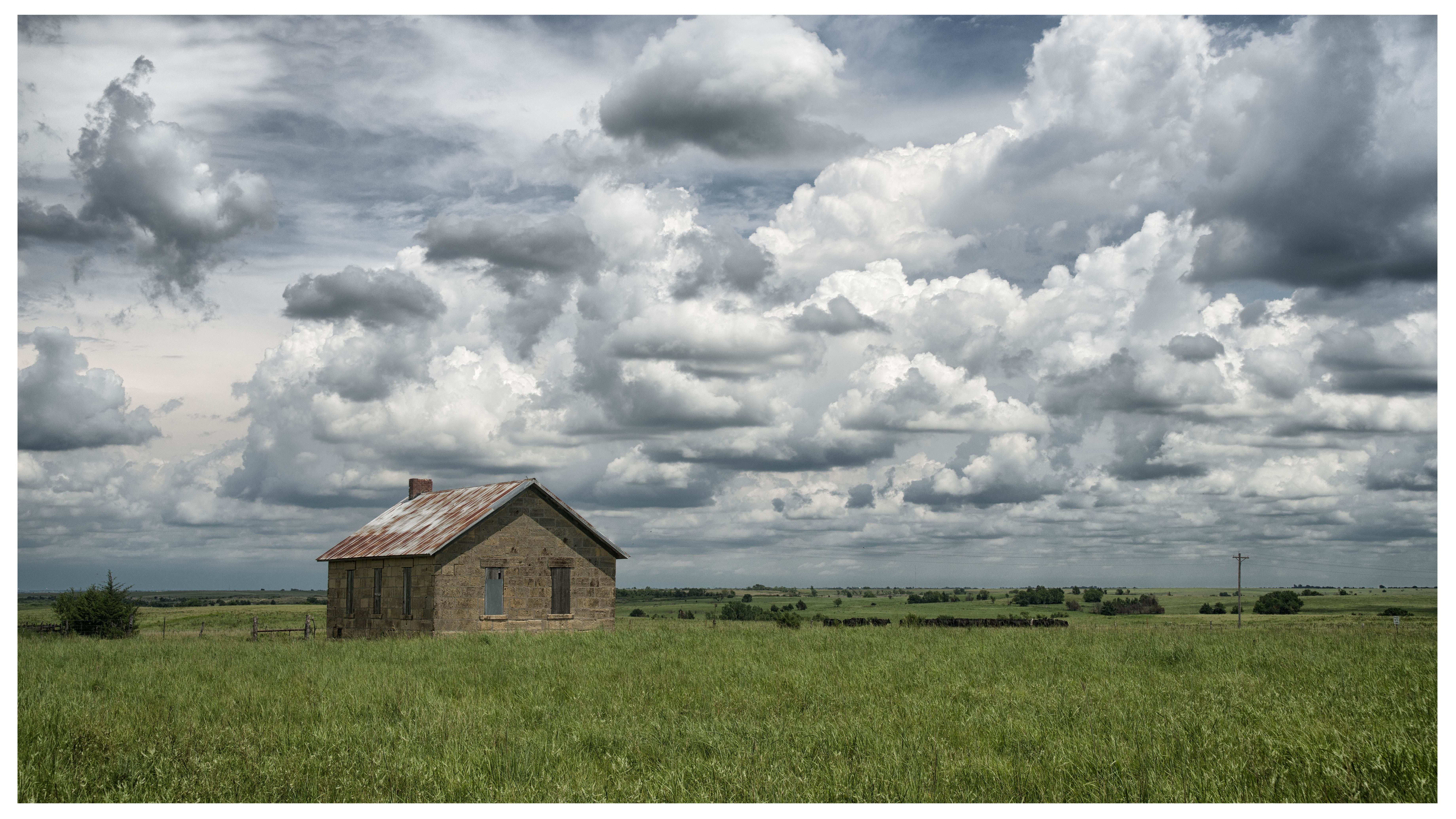
Kickapoo School
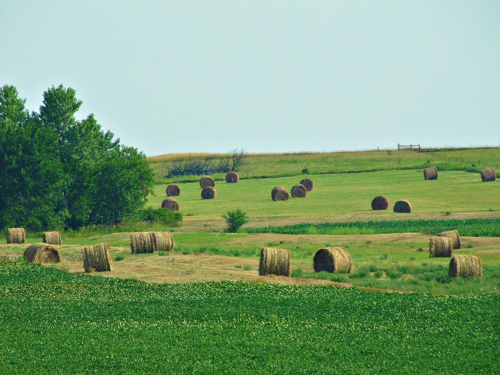
Round bales of Morris County
Herington, Kansas
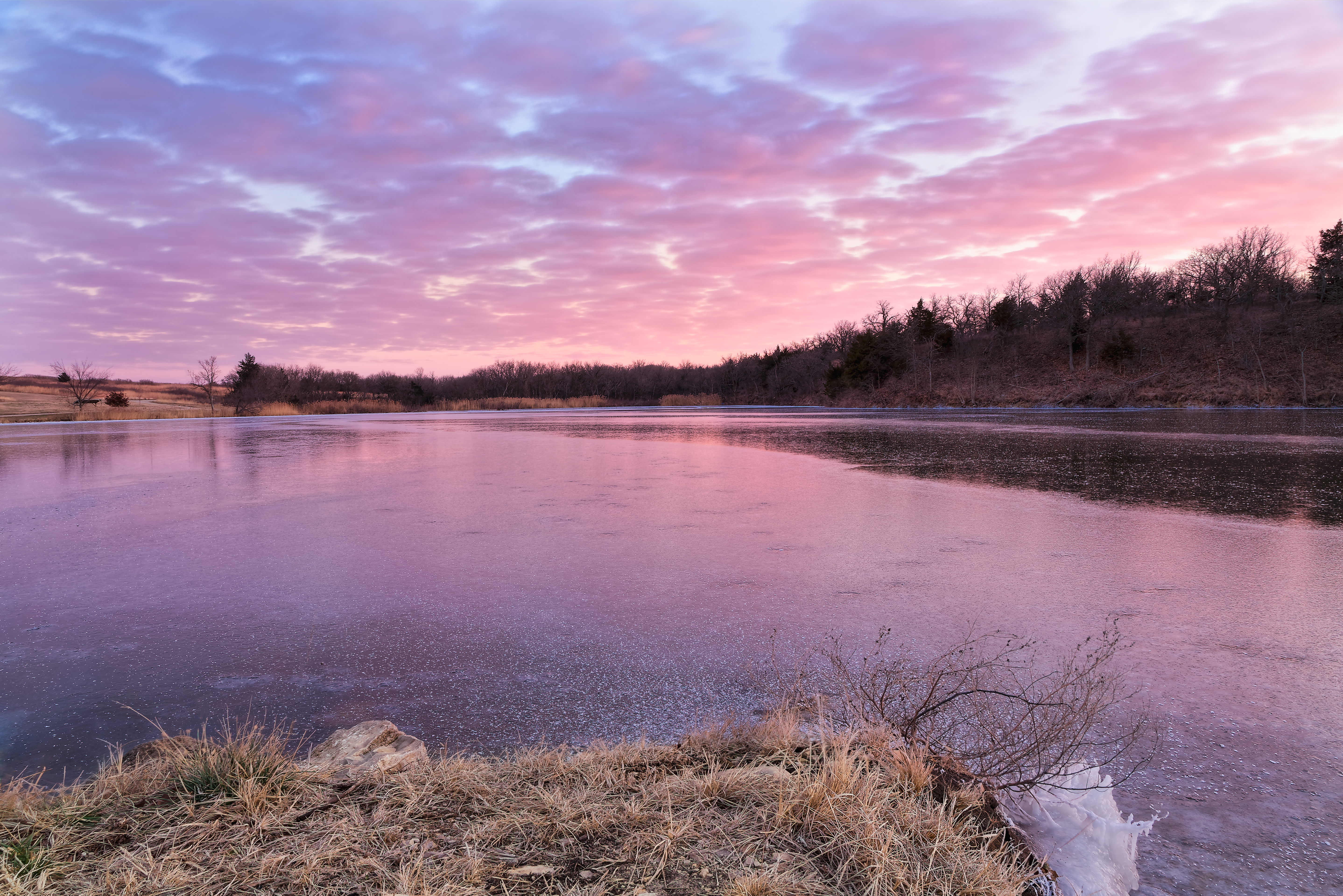
Subdued Sunset
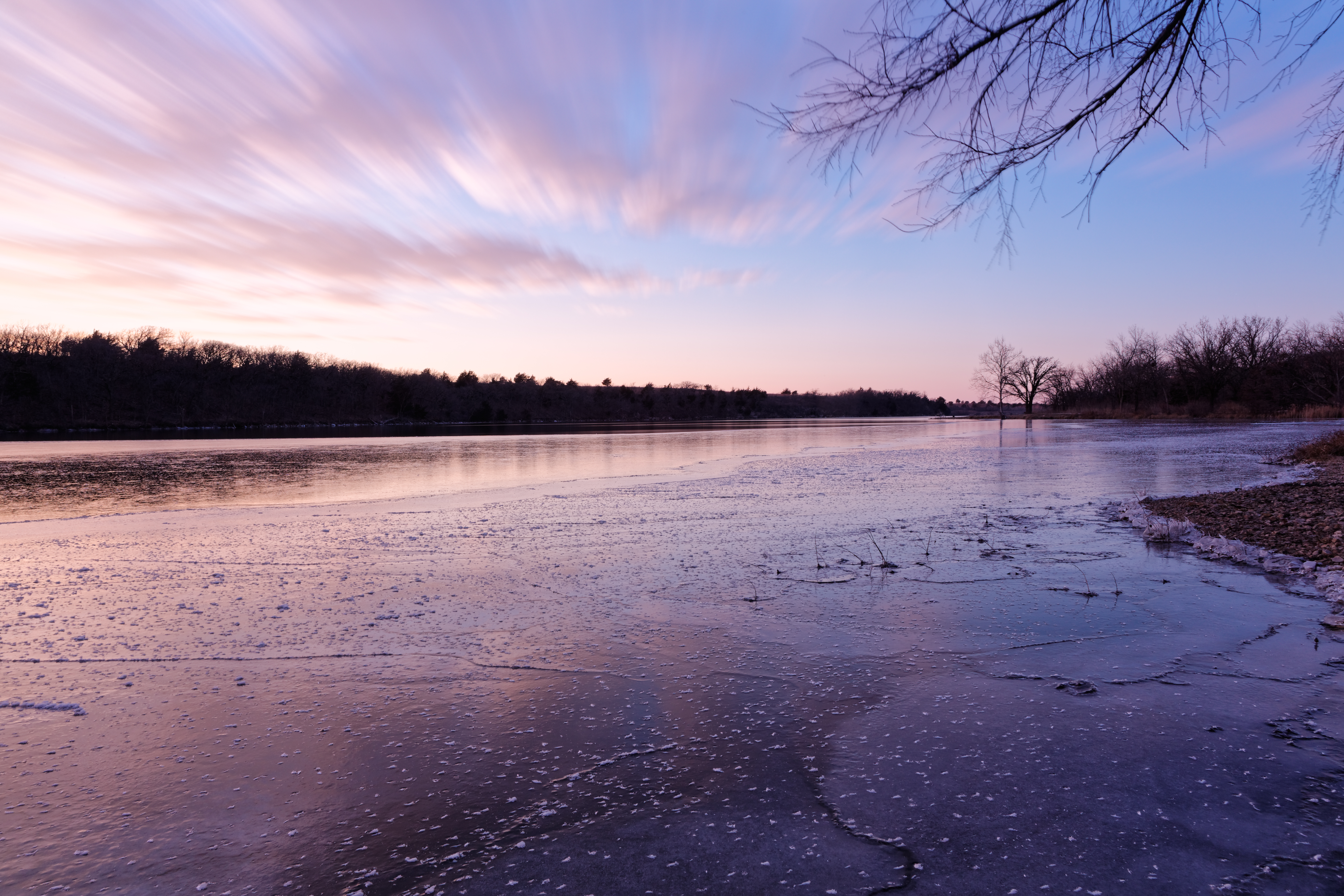
Winter Calmness
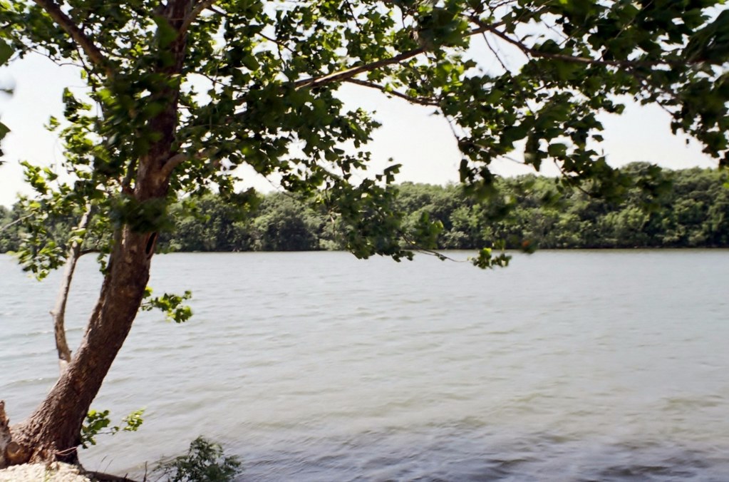
Taken with a Miolta SRT201
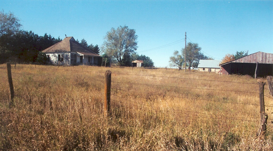
Eric Hedeen farm, nr White City, Kansas
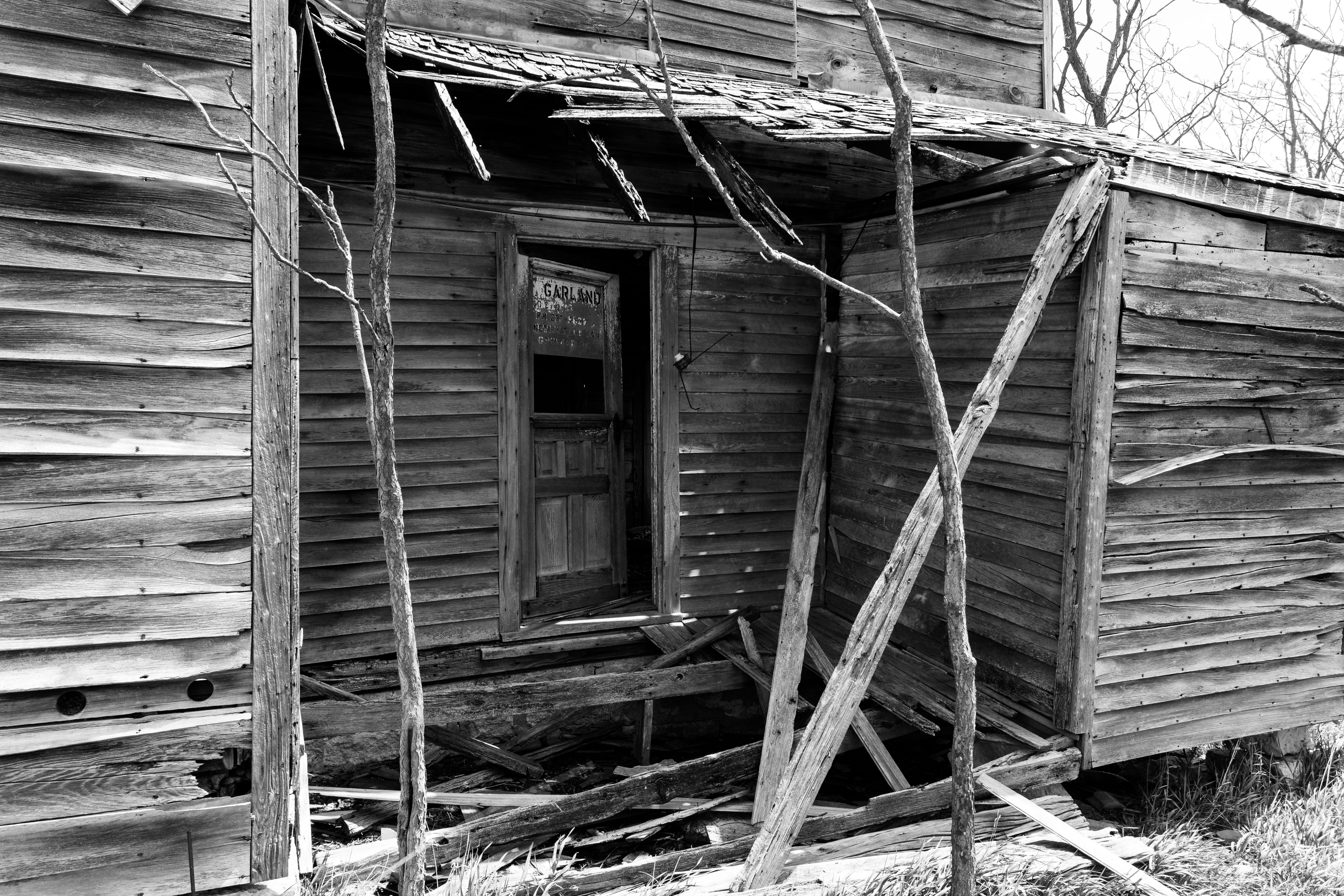
The Door to Garland
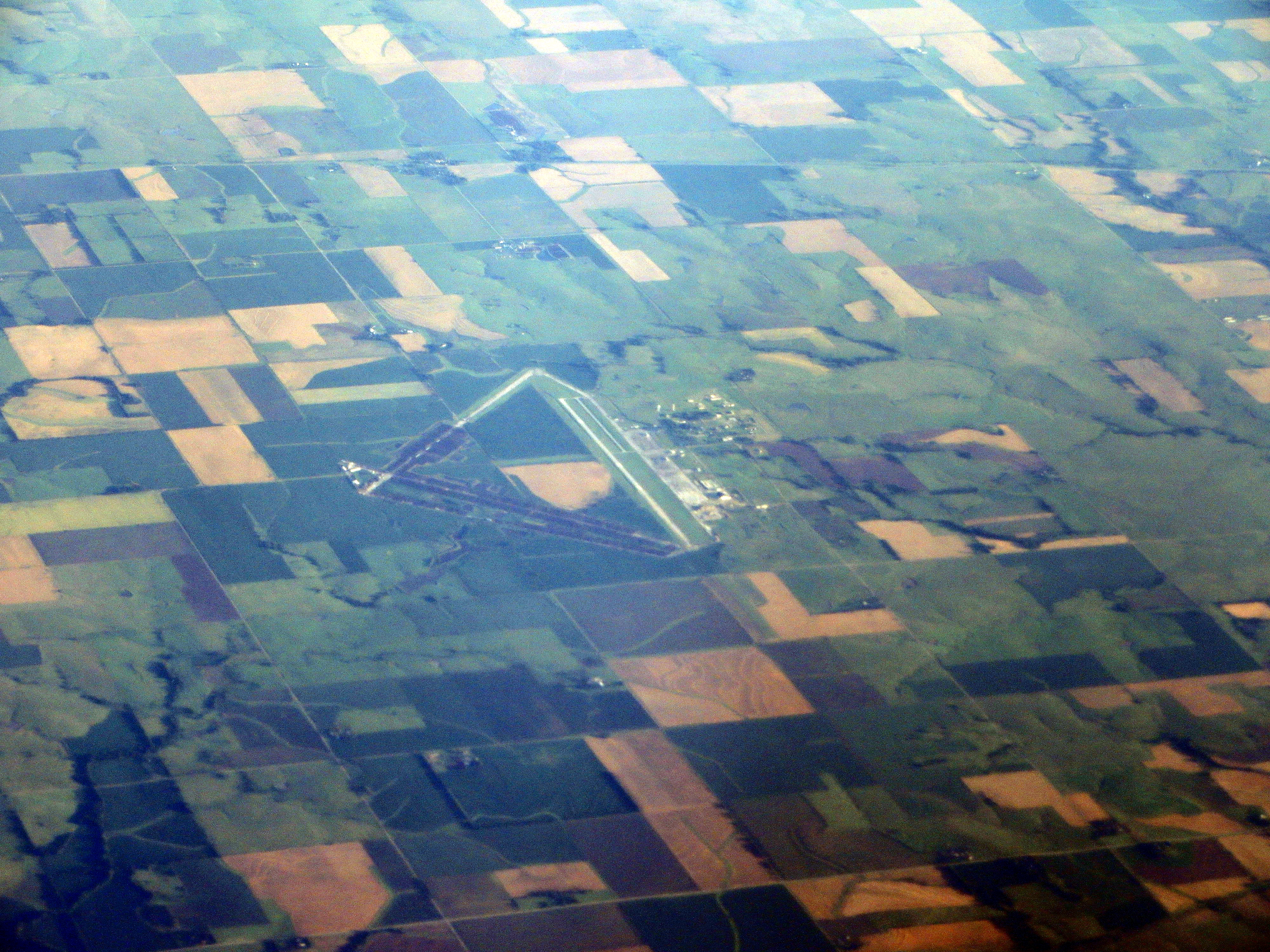
Herington Regional Airport, Herington, Kansas
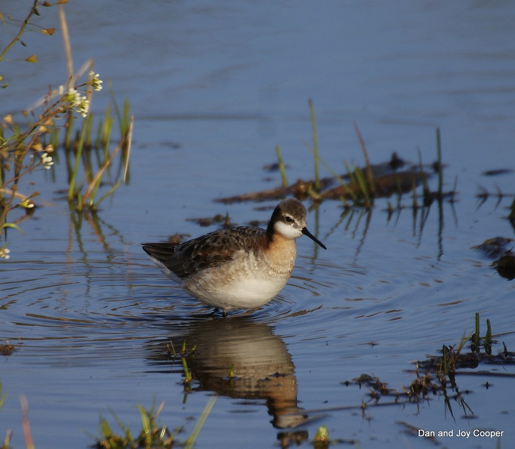
Wilsons phalarope
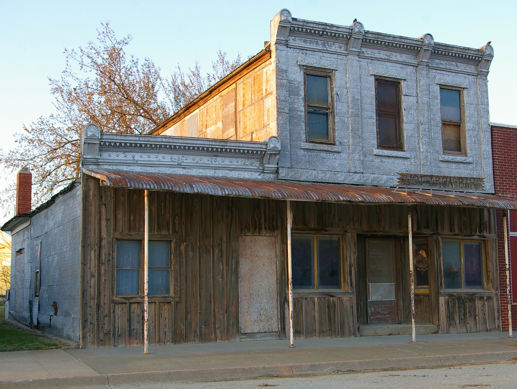
Hot Iron Bar
District 12-Half Acre School
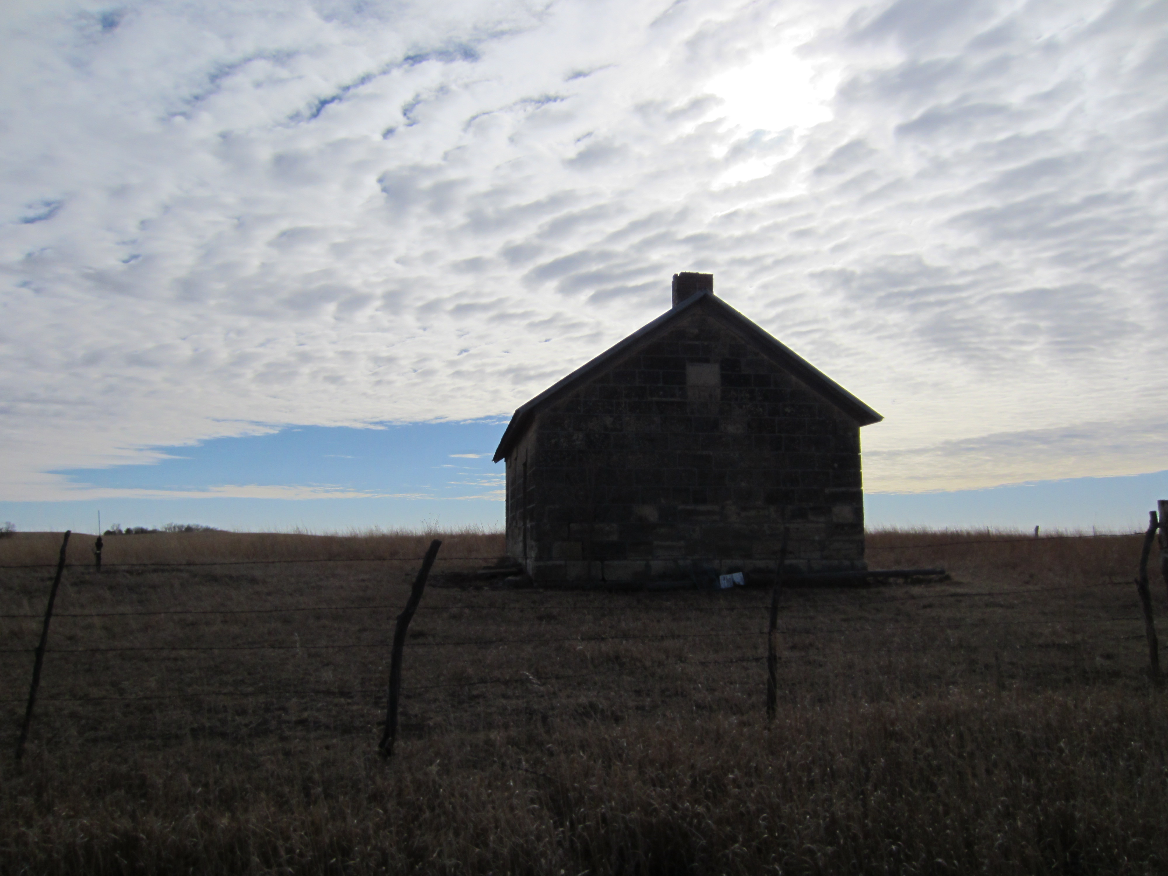
Joint District 29-Kickapoo School
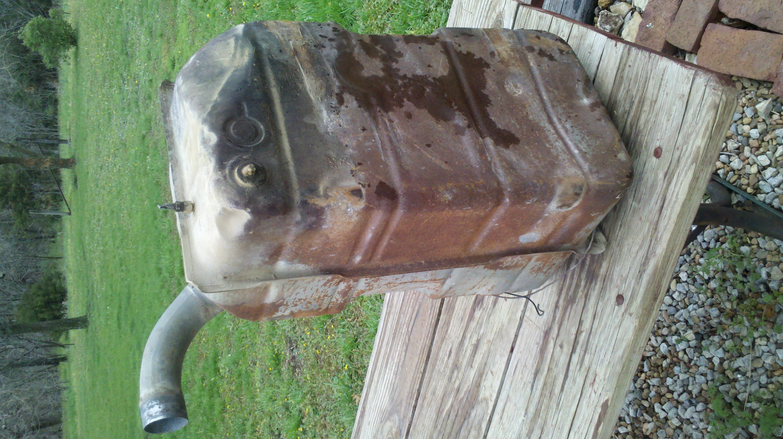
2013-04-27_15-12-06_39[1]
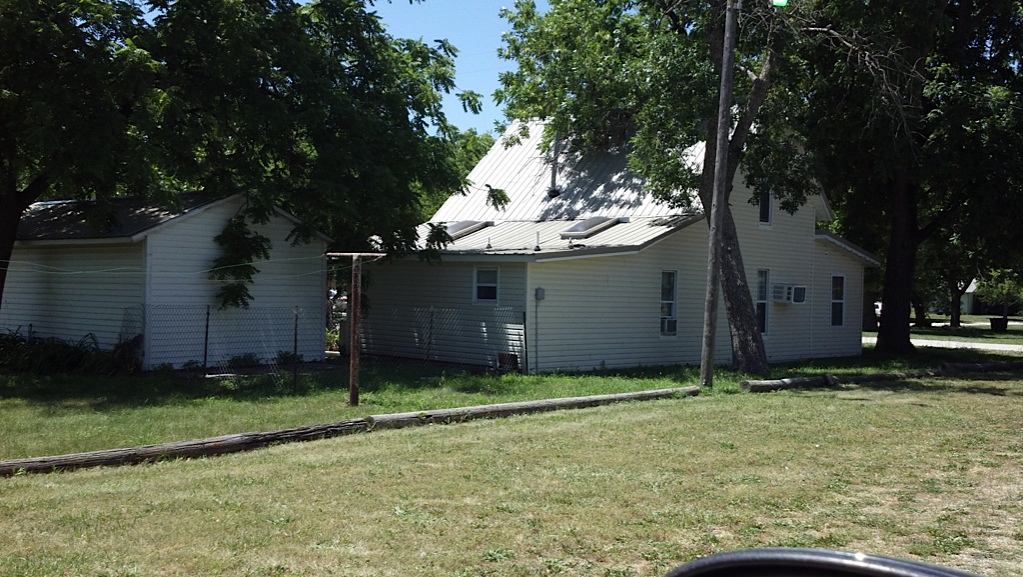
North facing side
North facing side
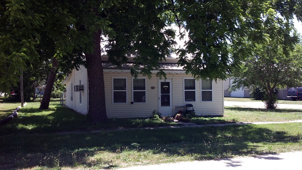
West facing front
West facing front and south side
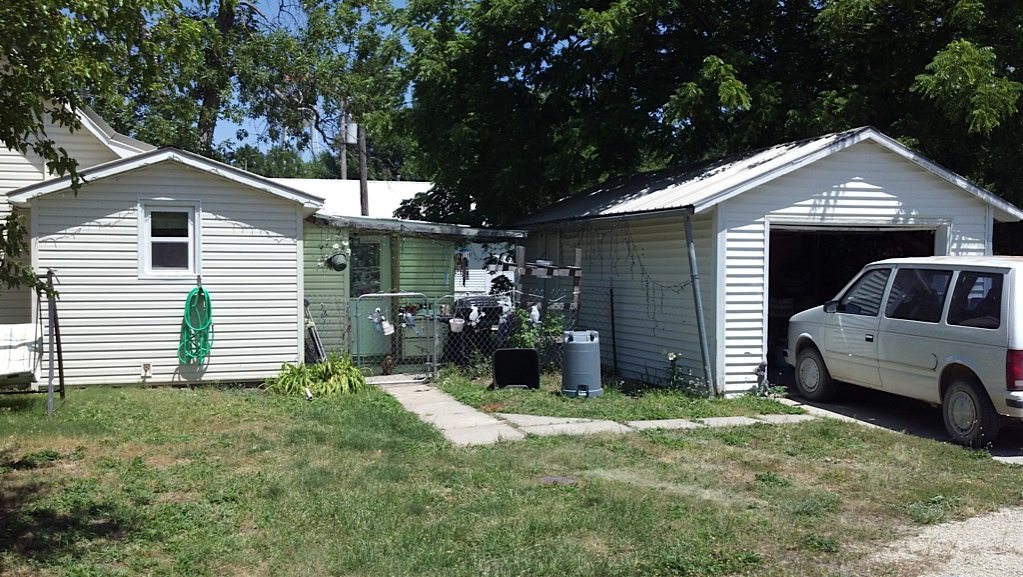
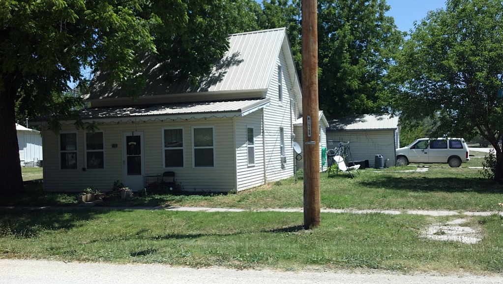
Garage and back patio
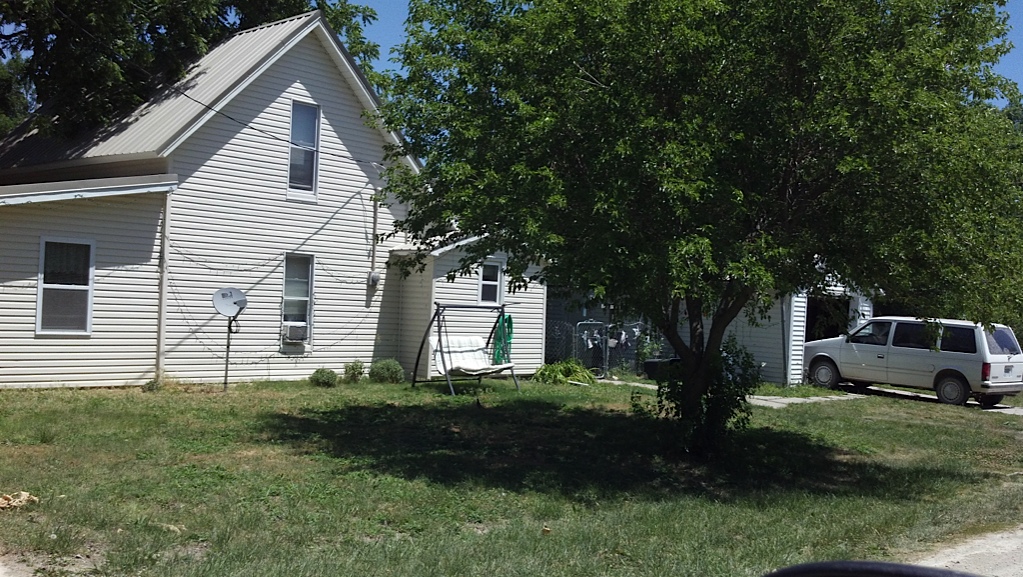
South facing side and garage

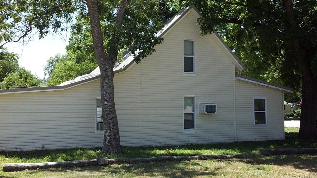
South facing side
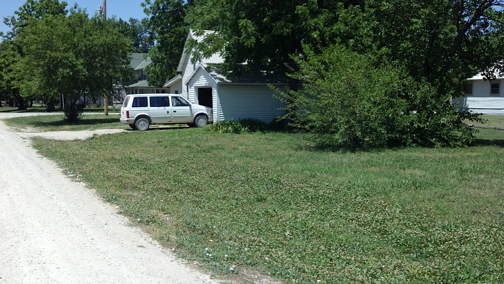
East most property line
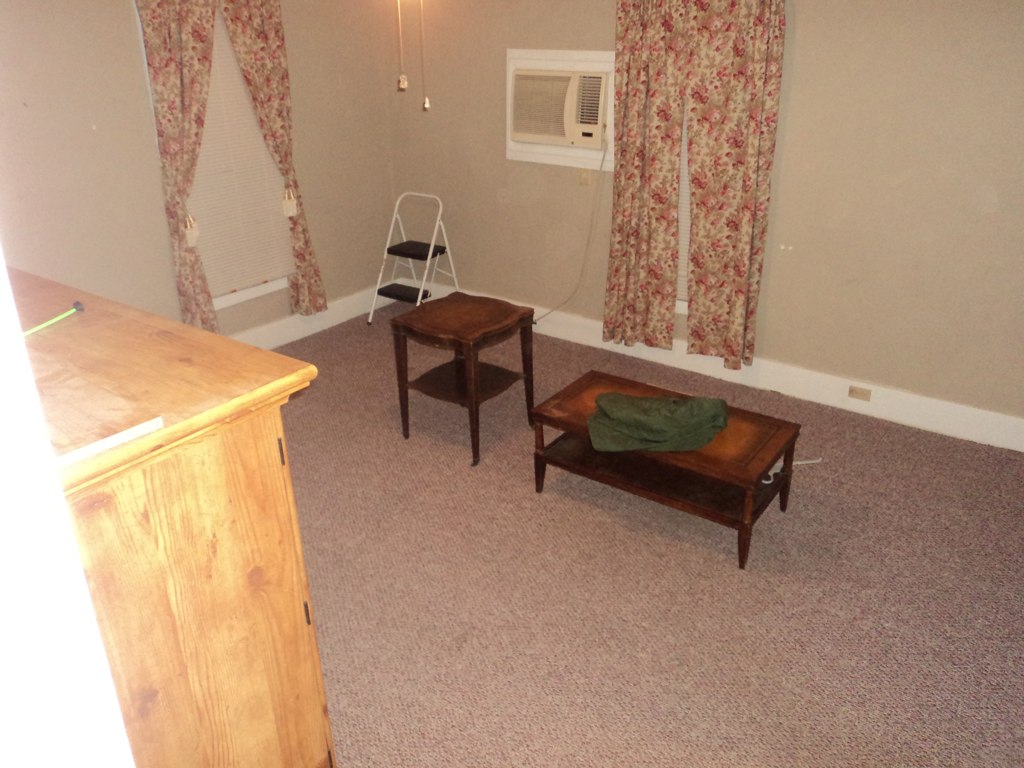
Living room
Upstairs bedroom #2
Topographic Map of White City, KS, USA
Find elevation by address:

Places near White City, KS, USA:
5, KS, USA
Olive-Parkerville St, White City, KS, USA
Morris County
Lyon
Riffle Rd, Junction City, KS, USA
Geary County
4 E Railway Ave, Woodbine, KS, USA
Woodbine
Bb Ave, Burdick, KS, USA
Herington
17 E Main St, Herington, KS, USA
The Bluffs Apartments
1810 Caroline Ave
8, KS, USA
W 6th St, Junction City, KS, USA
Junction City
1535 W Ash St
Coyotes Saloon
429 W 6th St
Liberty
Recent Searches:
- Elevation of Corso Fratelli Cairoli, 35, Macerata MC, Italy
- Elevation of Tallevast Rd, Sarasota, FL, USA
- Elevation of 4th St E, Sonoma, CA, USA
- Elevation of Black Hollow Rd, Pennsdale, PA, USA
- Elevation of Oakland Ave, Williamsport, PA, USA
- Elevation of Pedrógão Grande, Portugal
- Elevation of Klee Dr, Martinsburg, WV, USA
- Elevation of Via Roma, Pieranica CR, Italy
- Elevation of Tavkvetili Mountain, Georgia
- Elevation of Hartfords Bluff Cir, Mt Pleasant, SC, USA