Elevation of Woodbine, KS, USA
Location: United States > Kansas > Dickinson County > Liberty >
Longitude: -96.958624
Latitude: 38.7961151
Elevation: 382m / 1253feet
Barometric Pressure: 97KPa
Elevation Map:
Satellite Map:
Related Photos:

horse/sunset

Walking on a road

The Wheat
Subdued Sunset
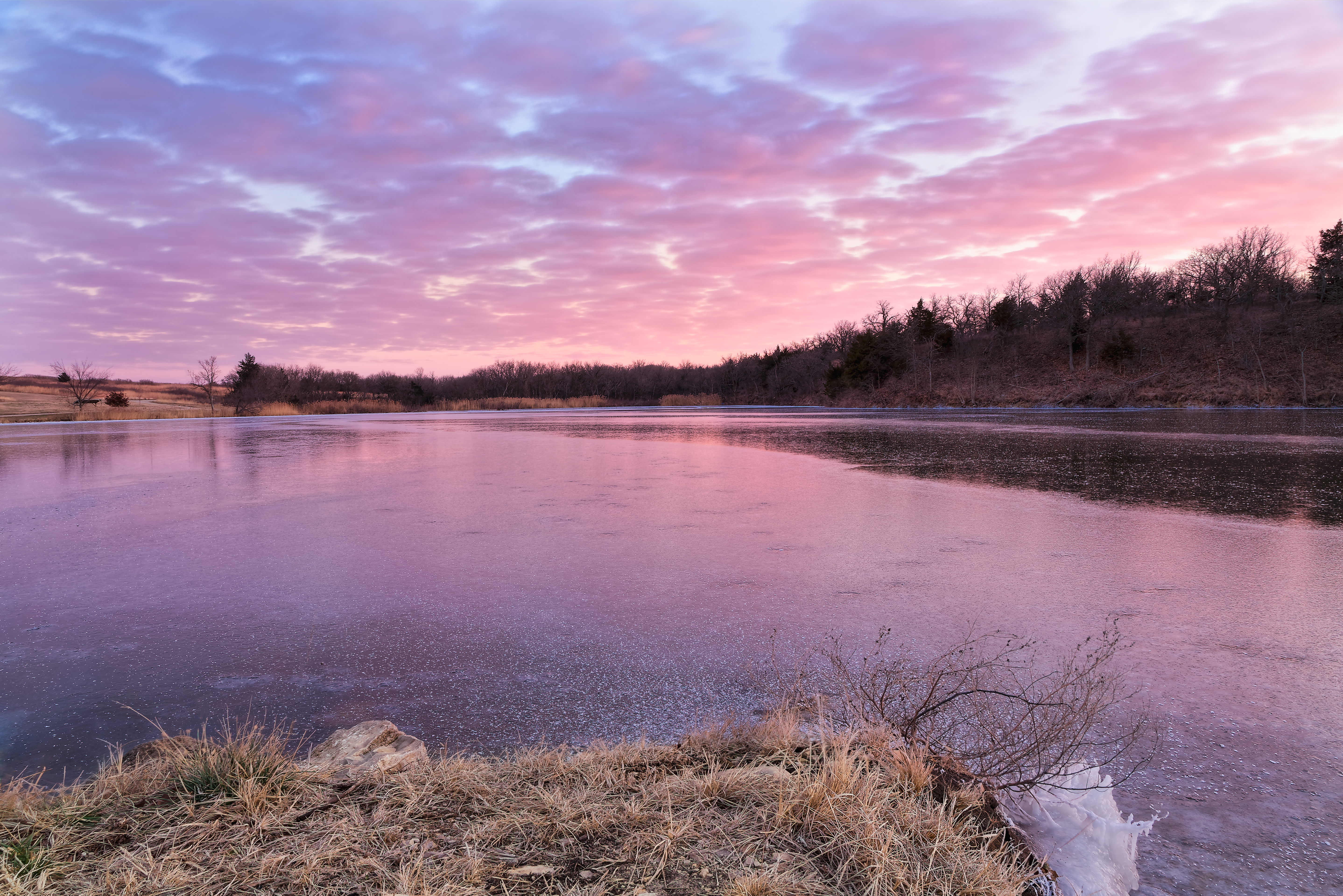
Winter Calmness

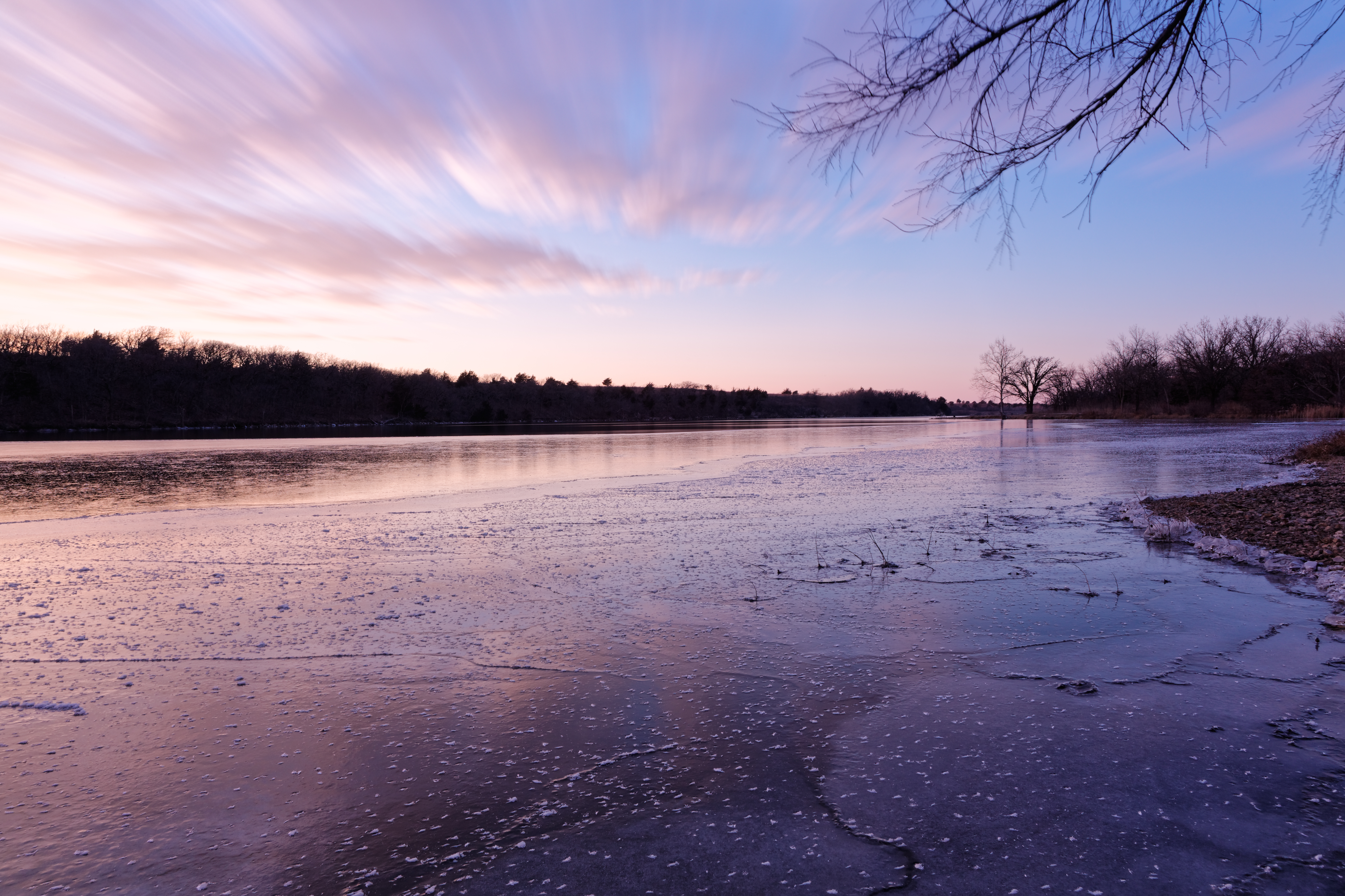
wind/sun
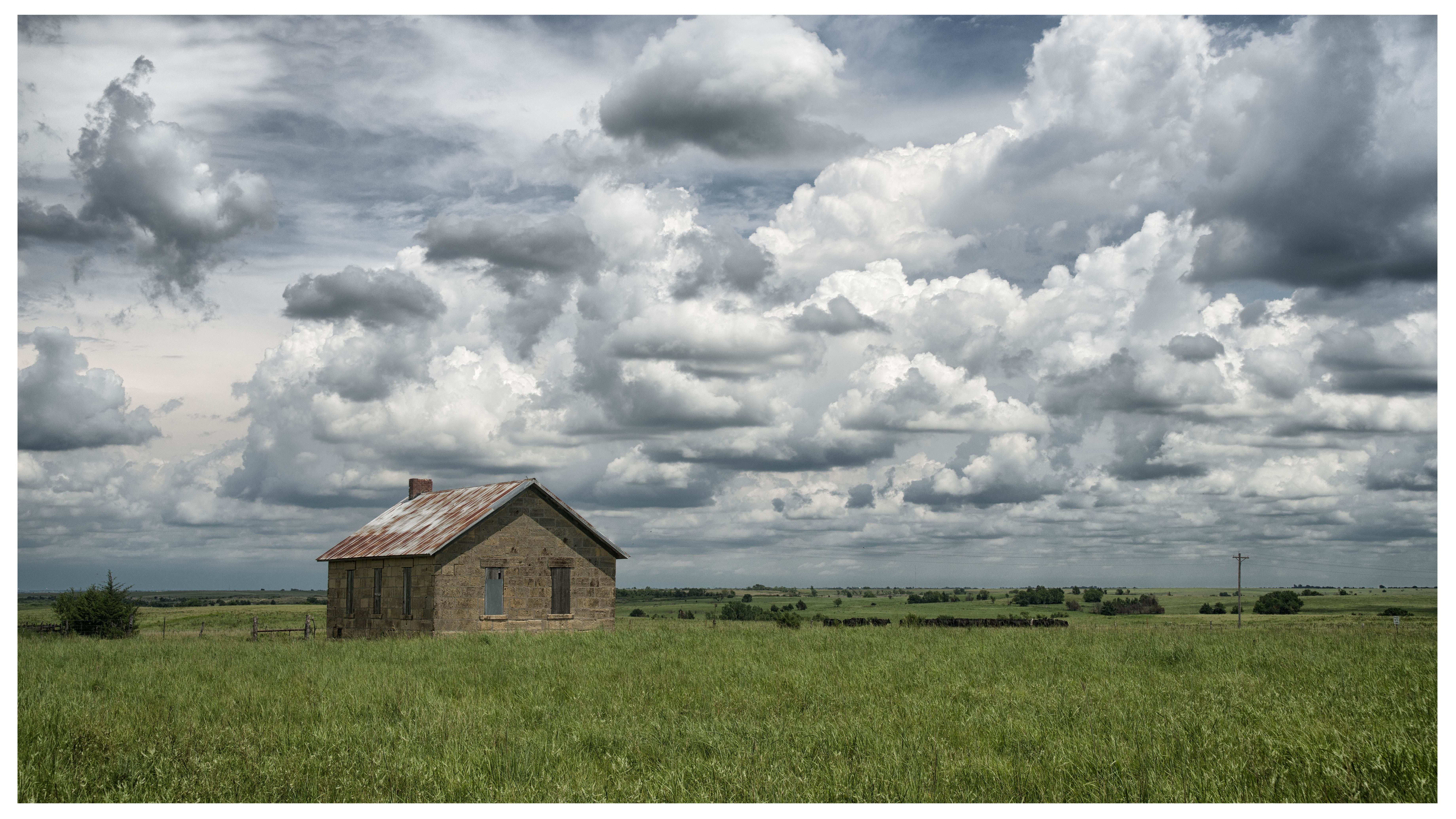
Kickapoo School
Taken with a Miolta SRT201

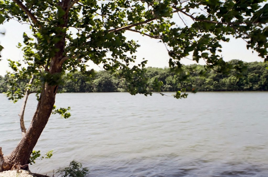
Geary County State Lake

Geary County State Lake

Outdoor Adventure Camp 2015

Outdoor Adventure Camp 2015

Outdoor Adventure Camp 2015

Outdoor Adventure Camp 2015

Outdoor Adventure Camp 2015
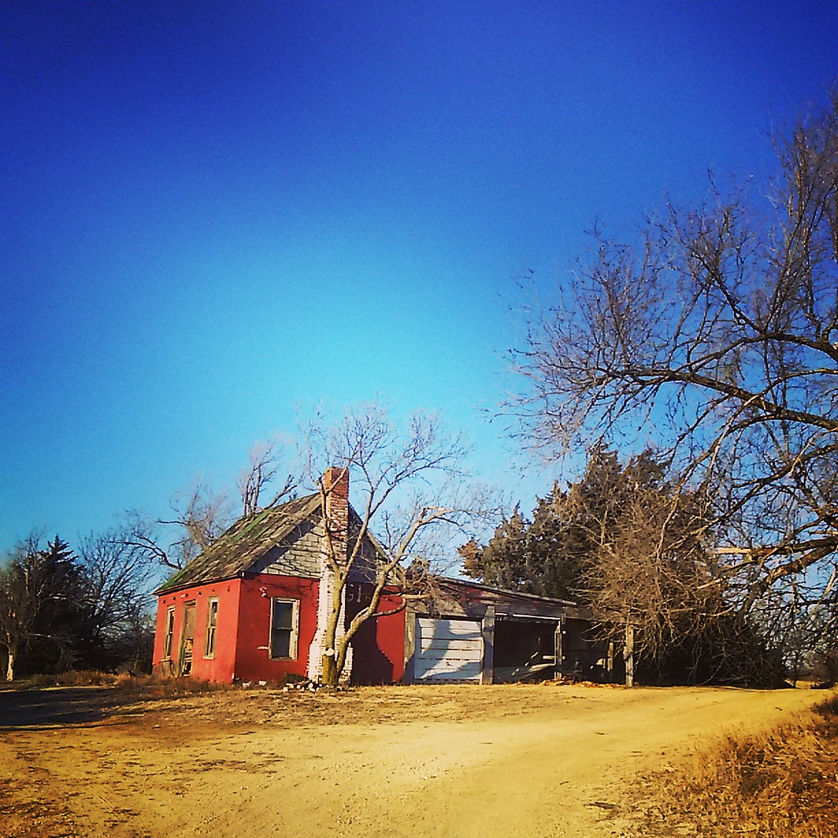
Abandoned near Abilene , Kansas

Double Dark
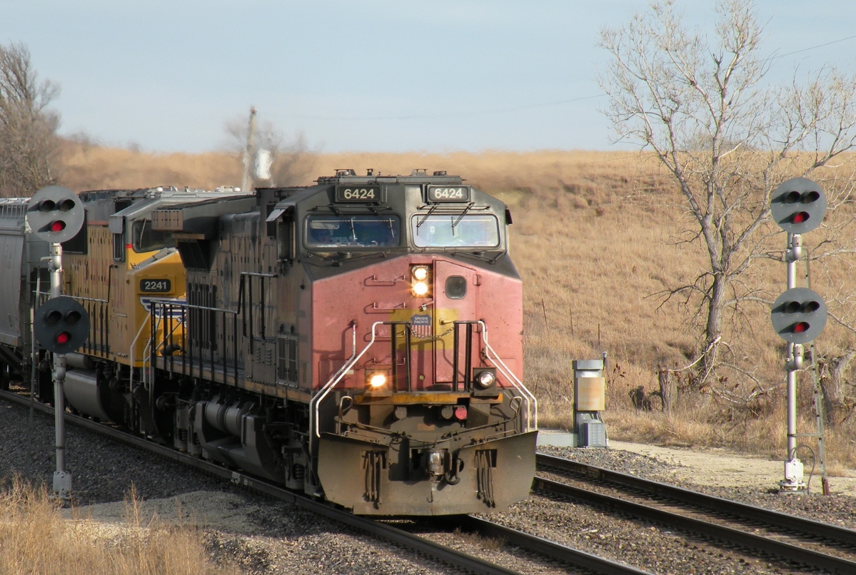
UP 6424 West
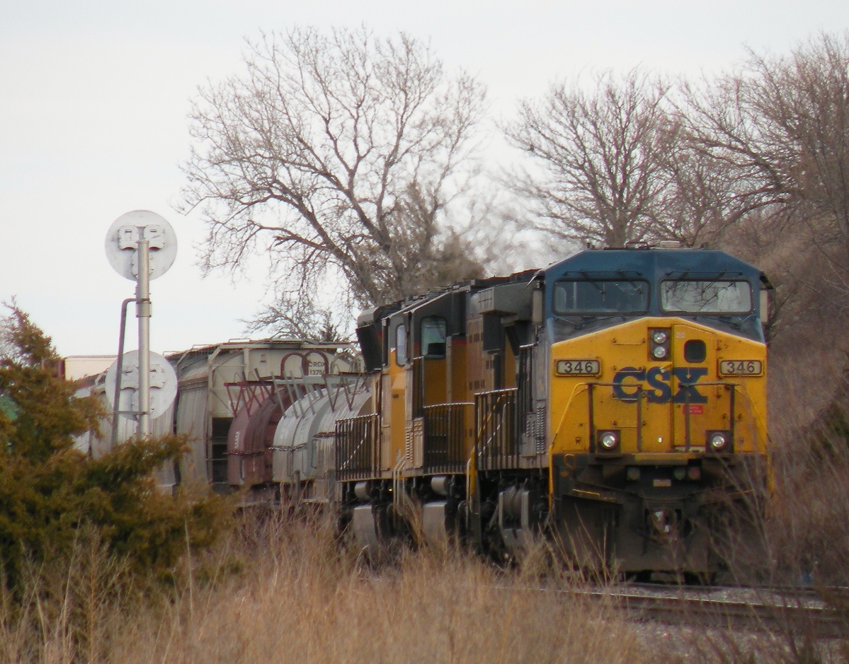
CSX 346 West
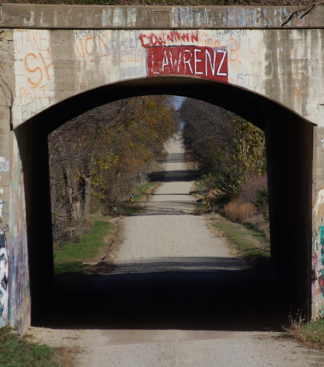
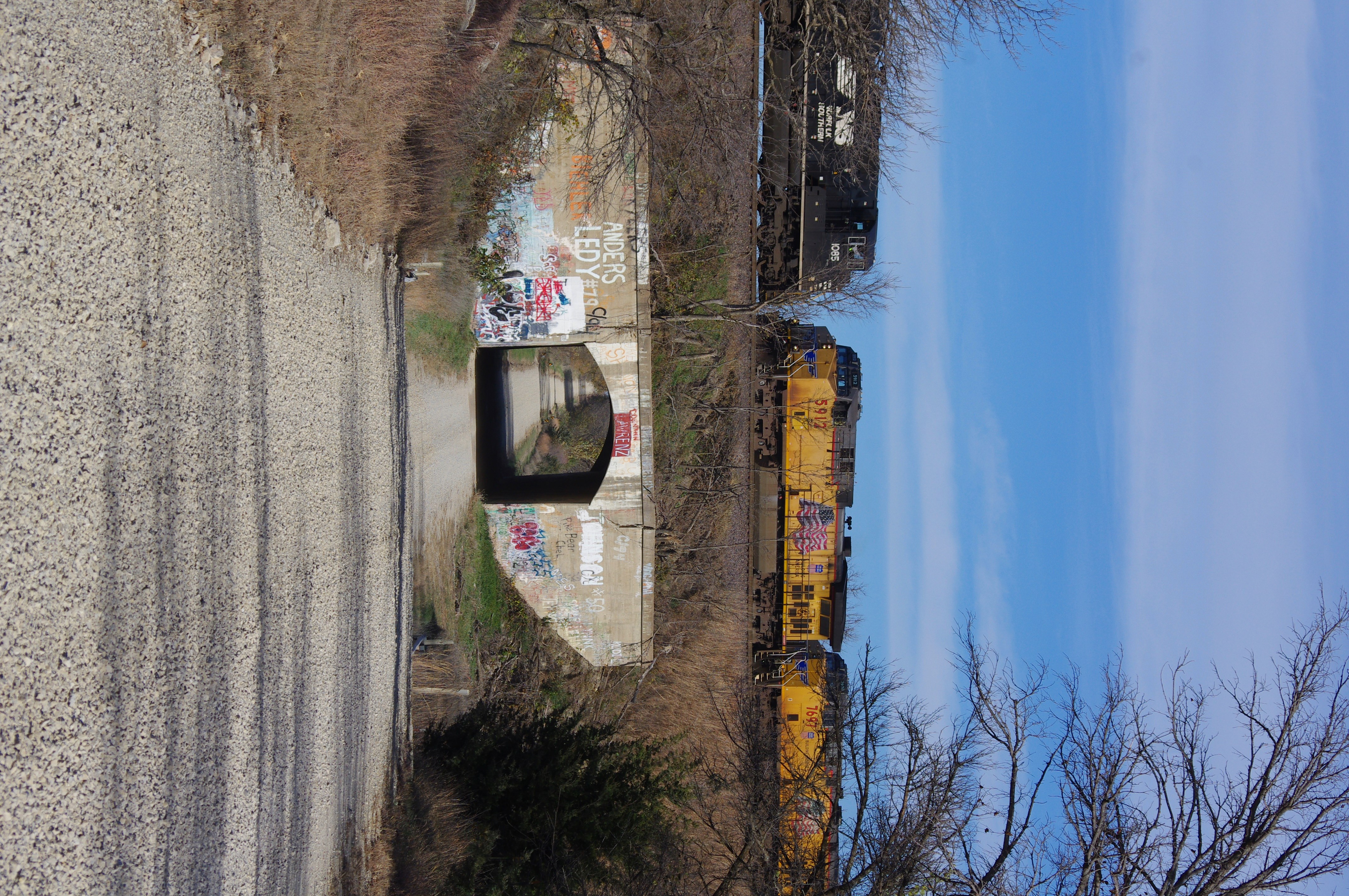
Vane Road "Tunnel"
Perfect Timing
Rock Springs 2014
Rock Springs 2014
Rock Springs 2014
Rock Springs 2014

Rock Springs 2014
Topographic Map of Woodbine, KS, USA
Find elevation by address:

Places in Woodbine, KS, USA:
Places near Woodbine, KS, USA:
4 E Railway Ave, Woodbine, KS, USA
Liberty
649 Trail Rd
17 E Main St, Herington, KS, USA
Herington
Lyon
Lyon
Ave, Ramona, KS, USA
W 6th St, Chapman, KS, USA
Chapman
320 W 6th St
5, KS, USA
Riffle Rd, Junction City, KS, USA
Noble
White City
The Bluffs Apartments
1810 Caroline Ave
525 Wheatland Dr
1535 W Ash St
Burdick
Recent Searches:
- Elevation of Corso Fratelli Cairoli, 35, Macerata MC, Italy
- Elevation of Tallevast Rd, Sarasota, FL, USA
- Elevation of 4th St E, Sonoma, CA, USA
- Elevation of Black Hollow Rd, Pennsdale, PA, USA
- Elevation of Oakland Ave, Williamsport, PA, USA
- Elevation of Pedrógão Grande, Portugal
- Elevation of Klee Dr, Martinsburg, WV, USA
- Elevation of Via Roma, Pieranica CR, Italy
- Elevation of Tavkvetili Mountain, Georgia
- Elevation of Hartfords Bluff Cir, Mt Pleasant, SC, USA