Elevation of Liberty, KS, USA
Location: United States > Kansas > Dickinson County >
Longitude: -96.985347
Latitude: 38.8415459
Elevation: 368m / 1207feet
Barometric Pressure: 97KPa
Elevation Map:
Satellite Map:
Related Photos:

13255
DSC04597
54738
54737

From a Kansas wheat field ... On a train

horse/sunset
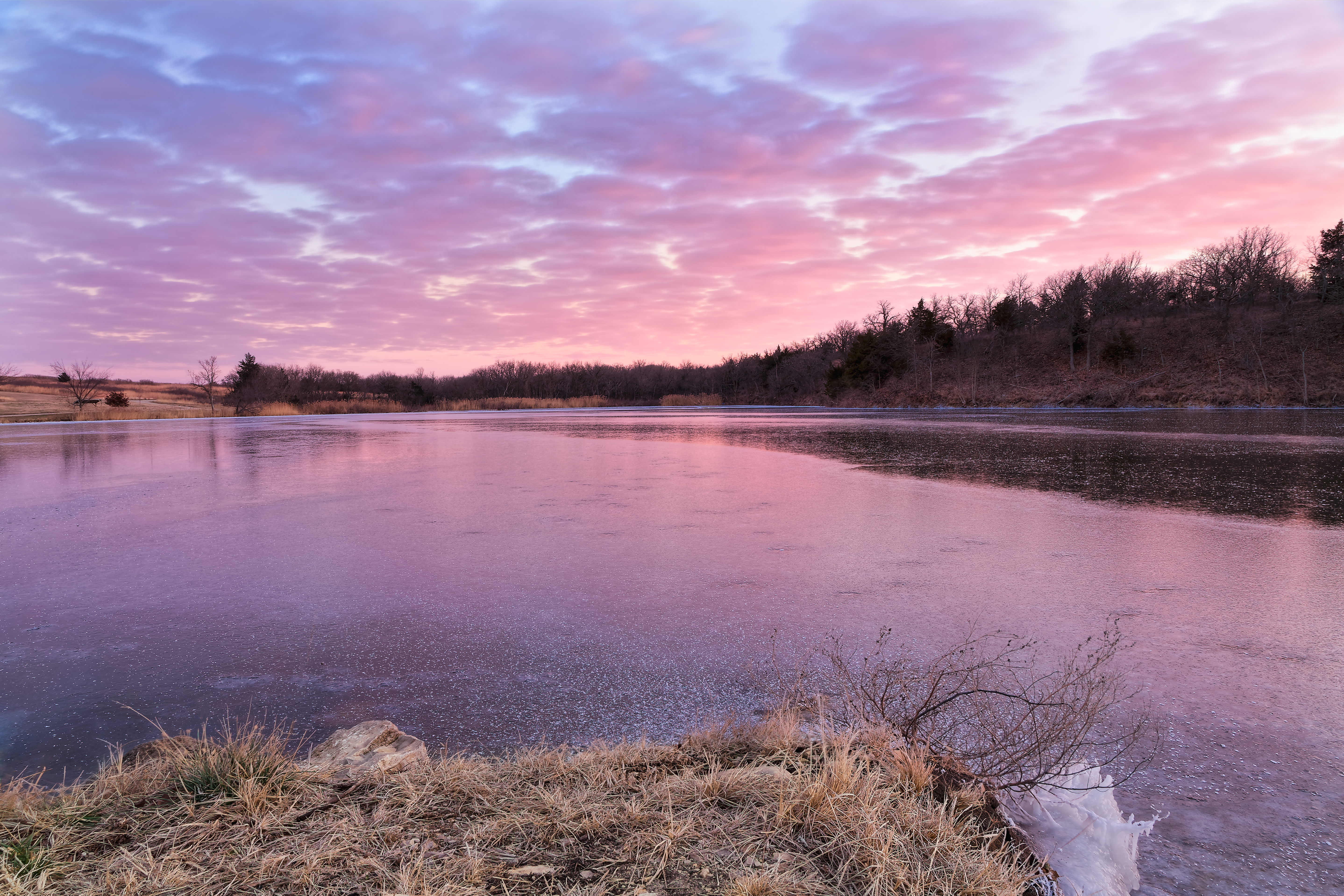
Subdued Sunset
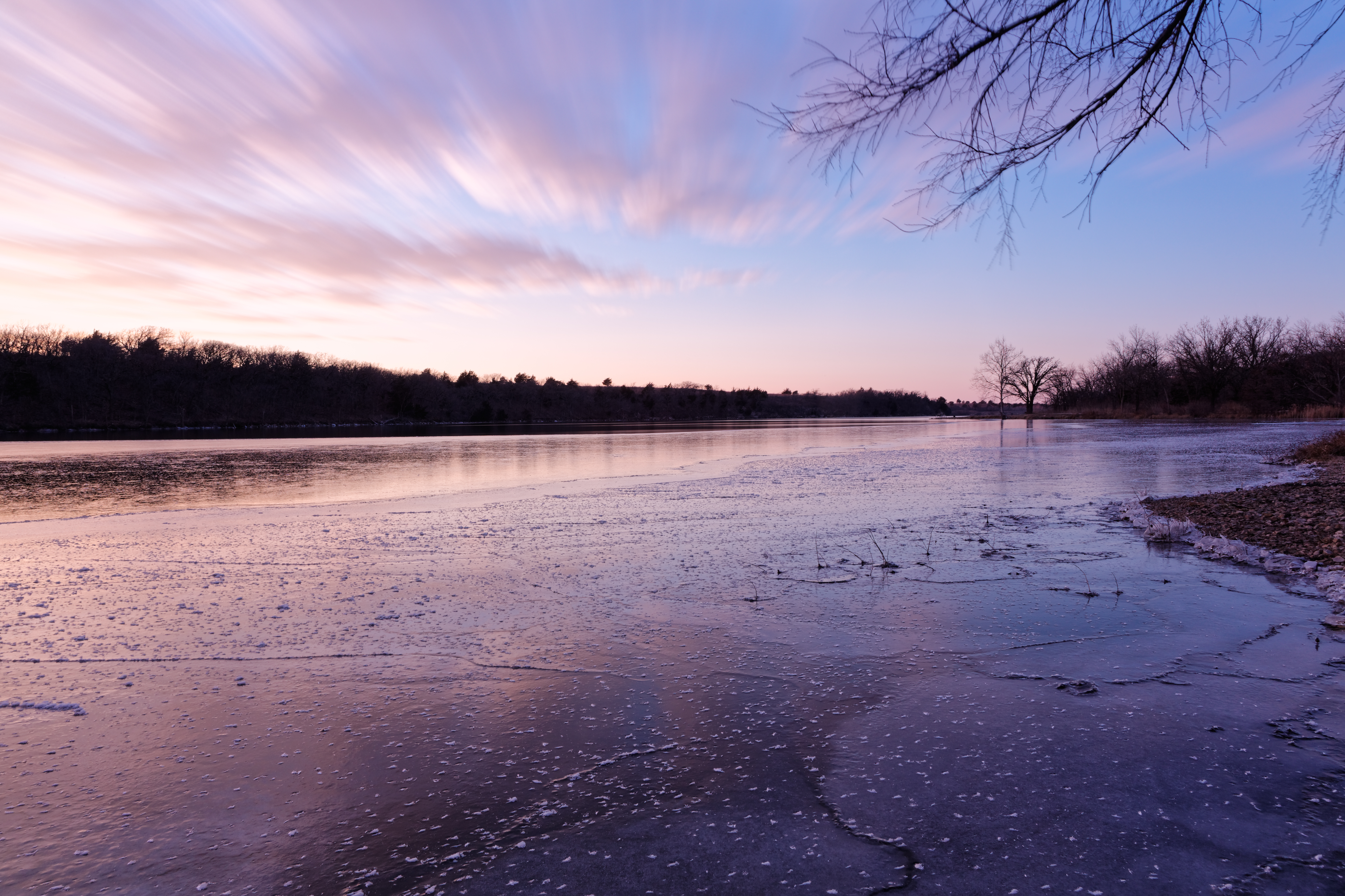
Winter Calmness

Taken with a Miolta SRT201

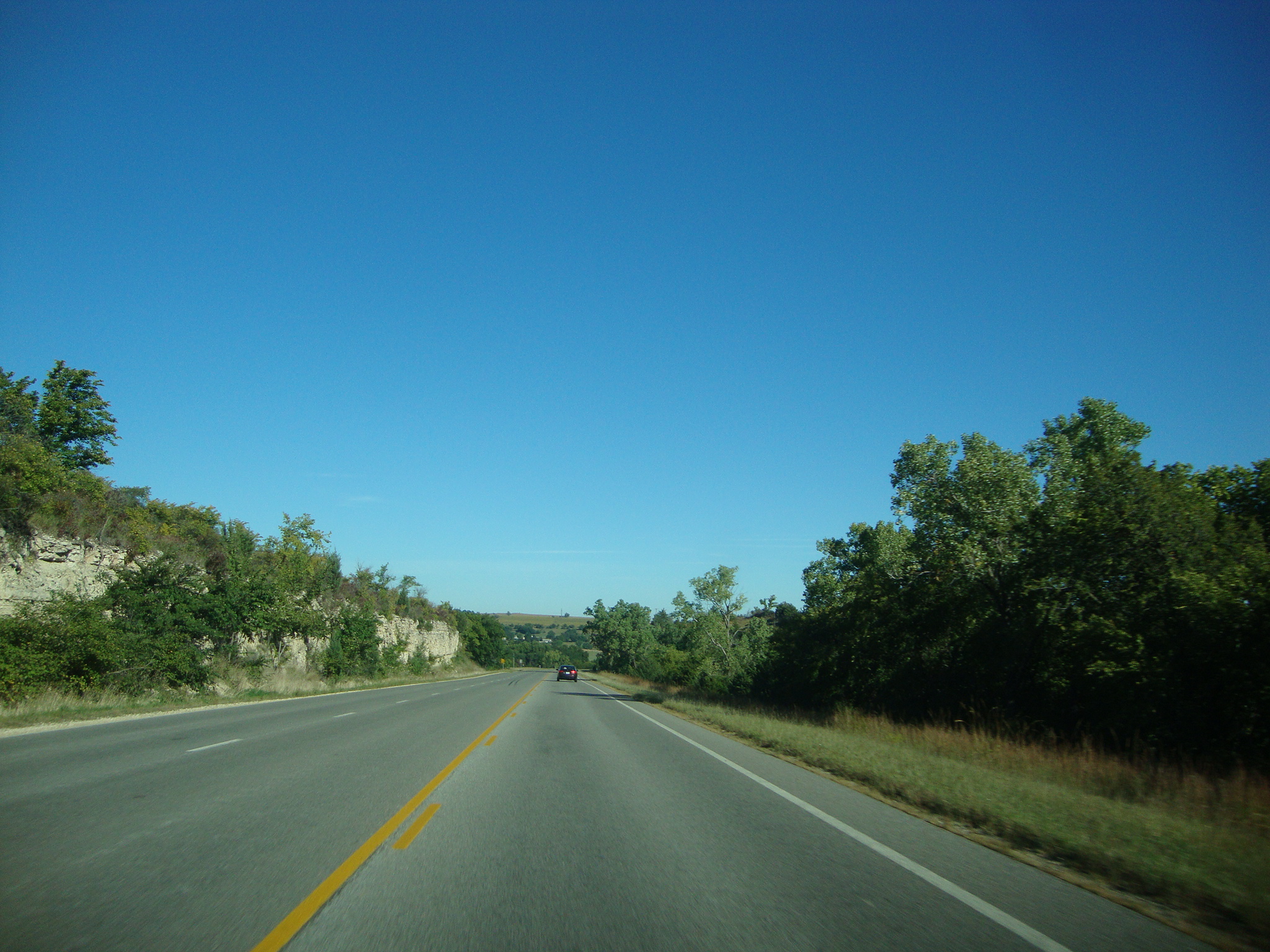
Walking on a road

The Wheat

wind/sun
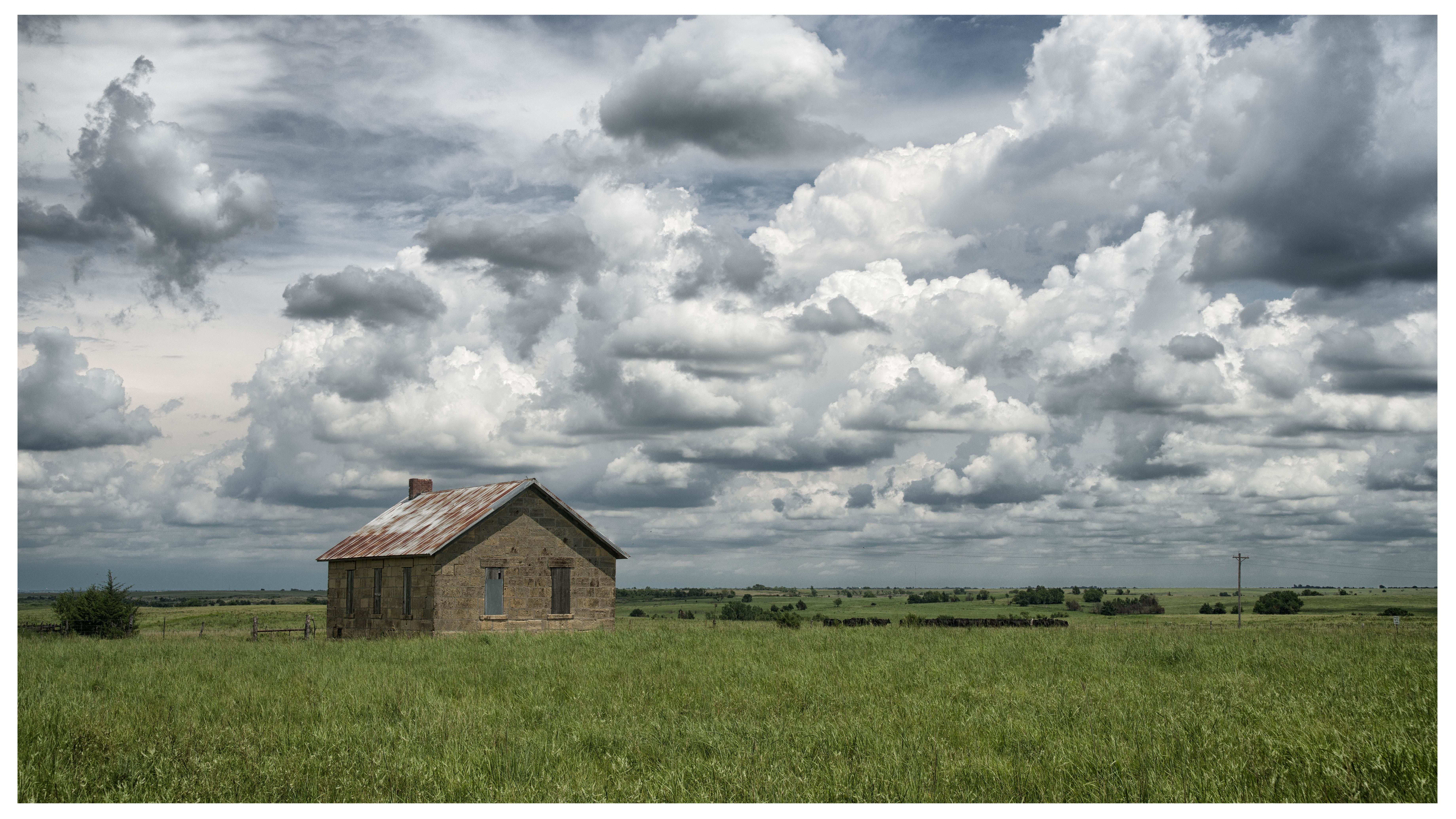
Kickapoo School
Topographic Map of Liberty, KS, USA
Find elevation by address:

Places in Liberty, KS, USA:
Places near Liberty, KS, USA:
Woodbine
4 E Railway Ave, Woodbine, KS, USA
W 6th St, Chapman, KS, USA
Chapman
320 W 6th St
649 Trail Rd
Lyon
Noble
17 E Main St, Herington, KS, USA
Herington
Riffle Rd, Junction City, KS, USA
The Bluffs Apartments
1810 Caroline Ave
Lyon
Ave, Ramona, KS, USA
525 Wheatland Dr
1535 W Ash St
5, KS, USA
Rucker Road
1320 Rockwell Dr
Recent Searches:
- Elevation of Corso Fratelli Cairoli, 35, Macerata MC, Italy
- Elevation of Tallevast Rd, Sarasota, FL, USA
- Elevation of 4th St E, Sonoma, CA, USA
- Elevation of Black Hollow Rd, Pennsdale, PA, USA
- Elevation of Oakland Ave, Williamsport, PA, USA
- Elevation of Pedrógão Grande, Portugal
- Elevation of Klee Dr, Martinsburg, WV, USA
- Elevation of Via Roma, Pieranica CR, Italy
- Elevation of Tavkvetili Mountain, Georgia
- Elevation of Hartfords Bluff Cir, Mt Pleasant, SC, USA