Elevation of Burdick, KS, USA
Location: United States > Kansas > Morris County > >
Longitude: -96.845568
Latitude: 38.5636222
Elevation: 442m / 1450feet
Barometric Pressure: 96KPa
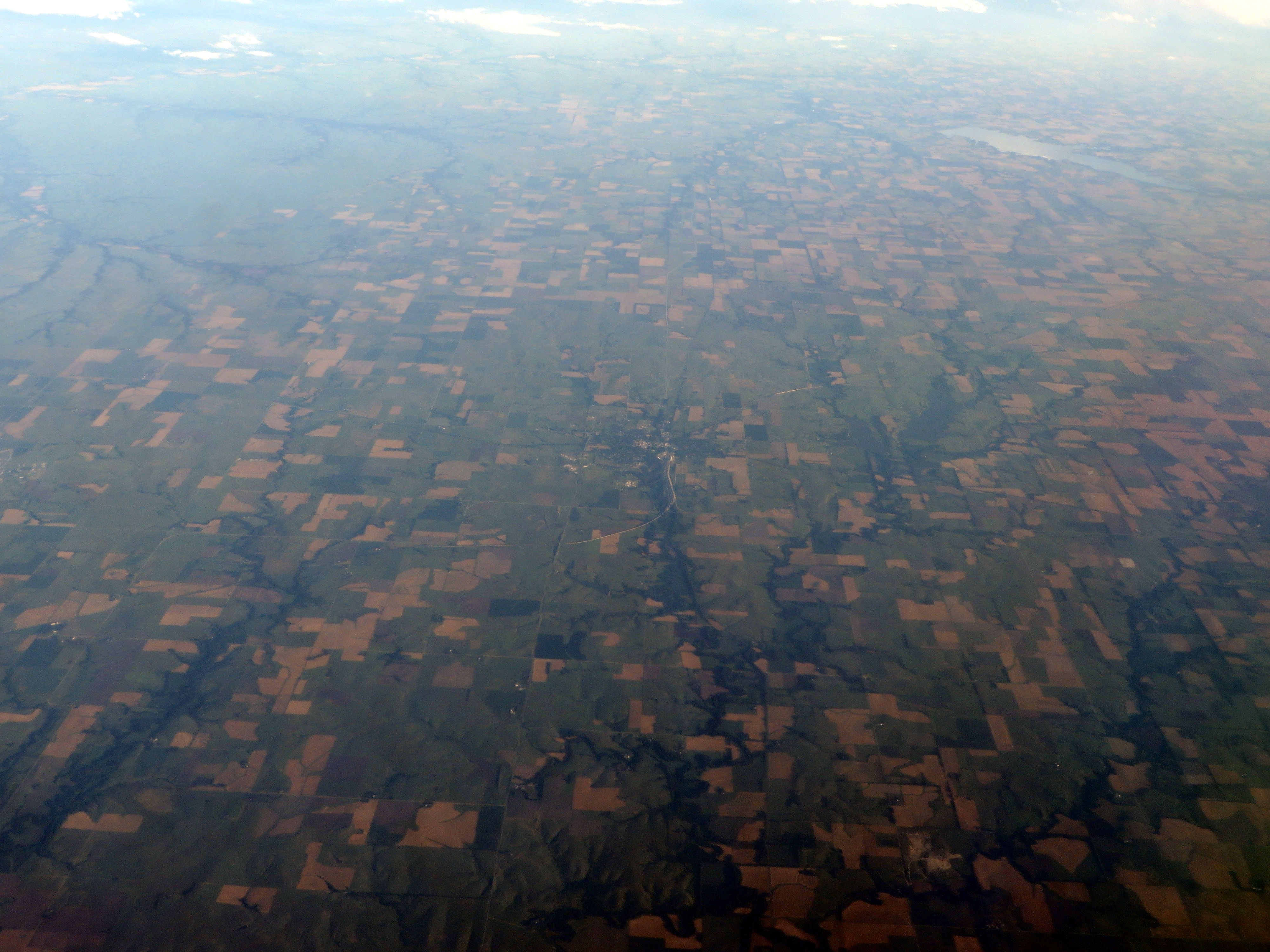
Elevation Map:
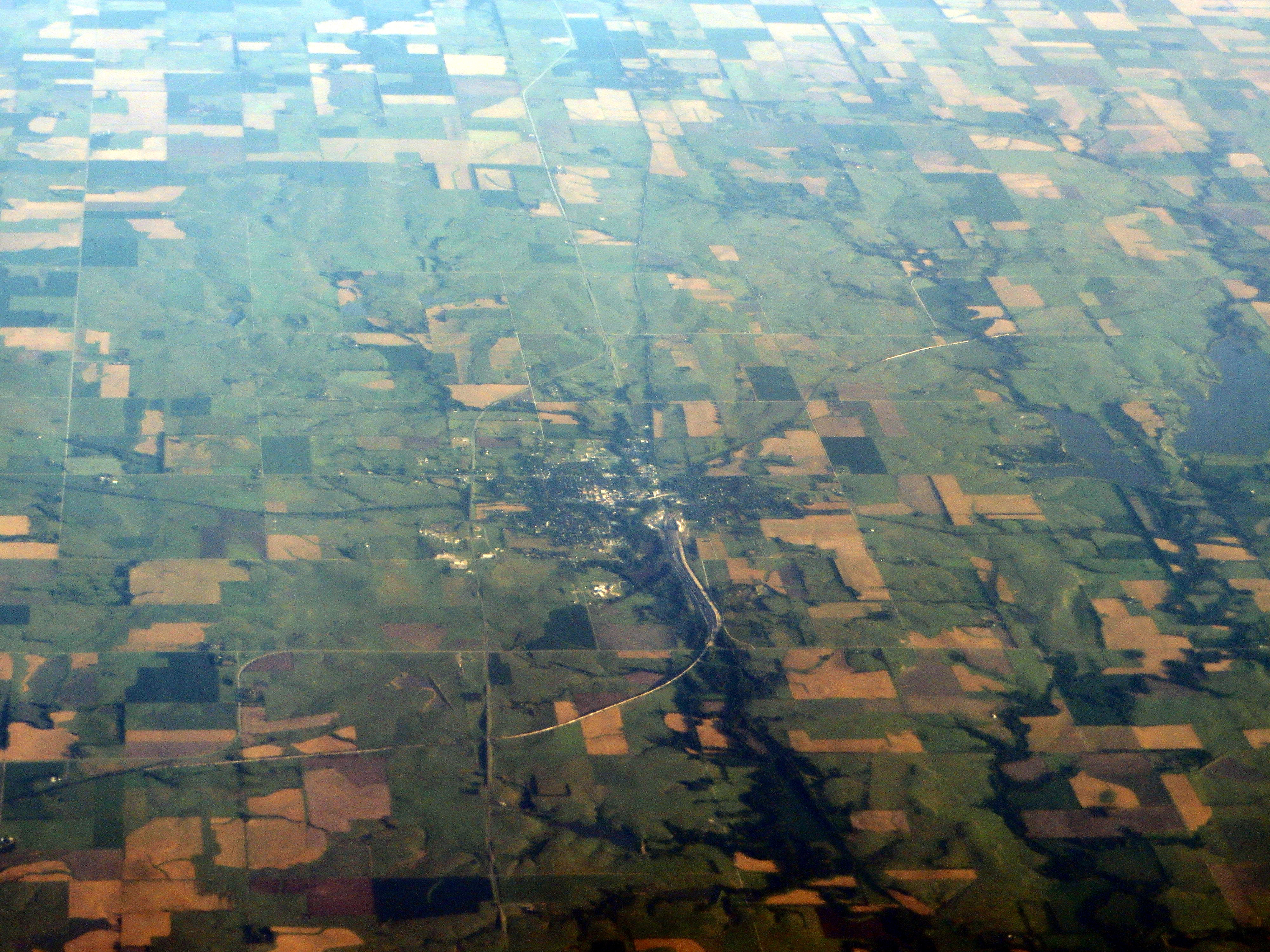
Satellite Map:
Related Photos:
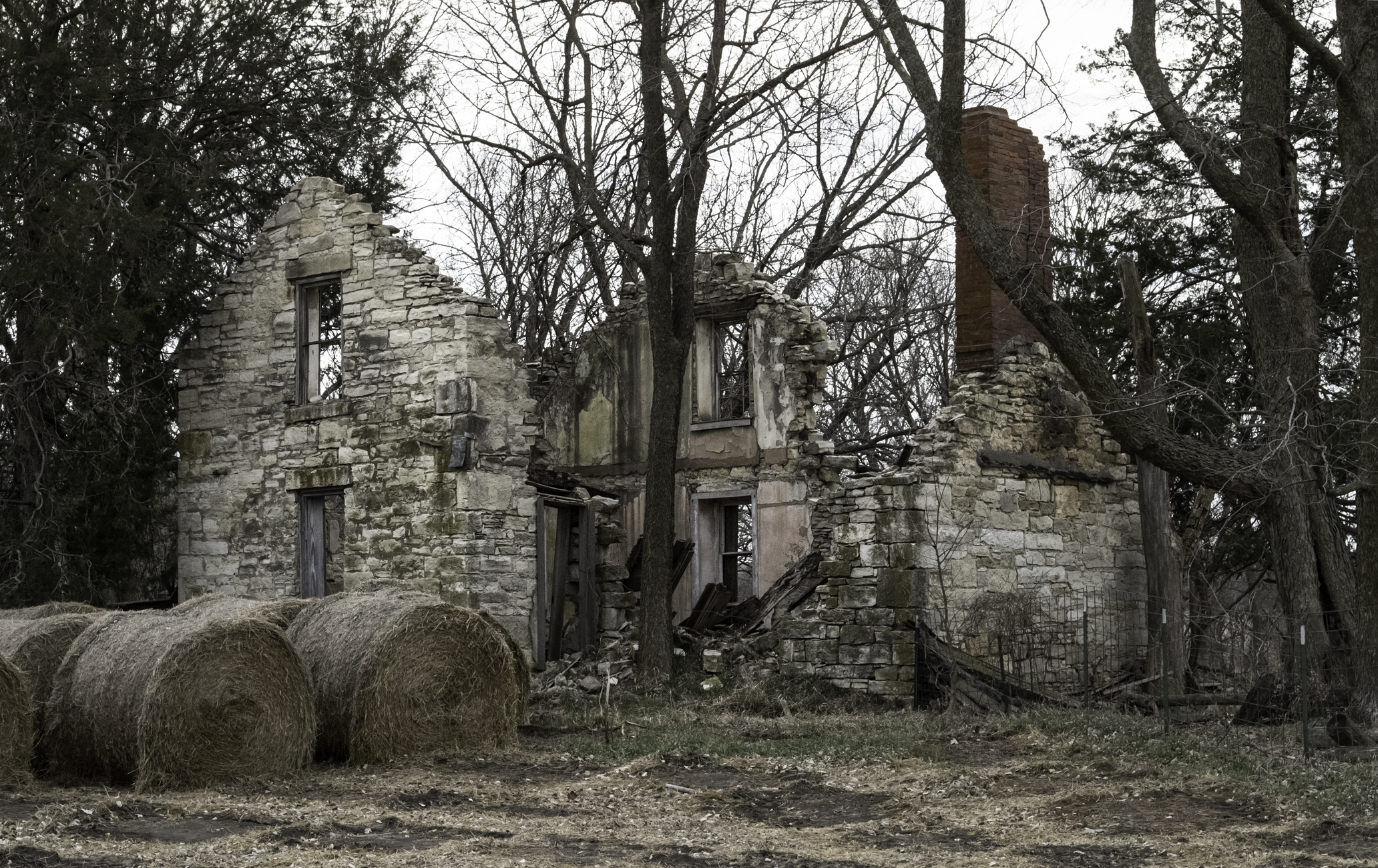
lost souls
Herington, Kansas
Make America Great Again
Diamond Springs Stage Station Detail
Diamond Springs Stage Station

Diamond Springs Stable and Blacksmith Shop
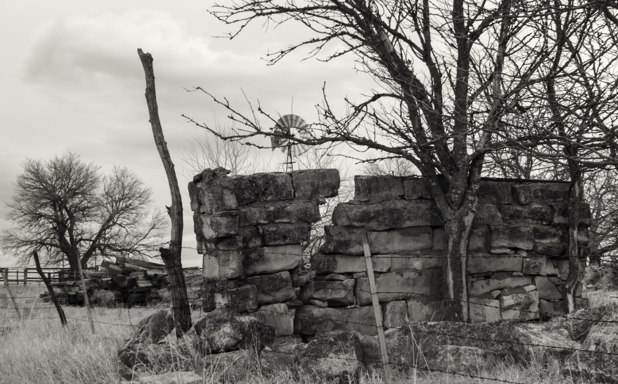
Rend (It Was a Windy Day)
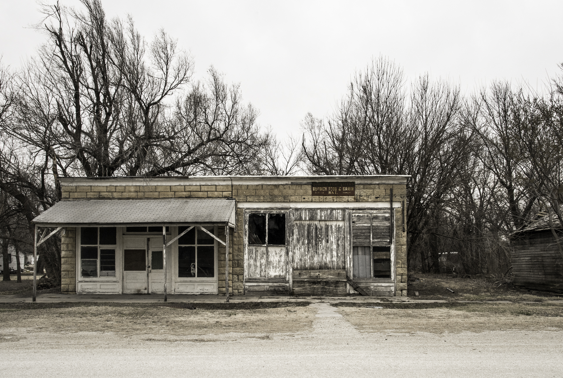
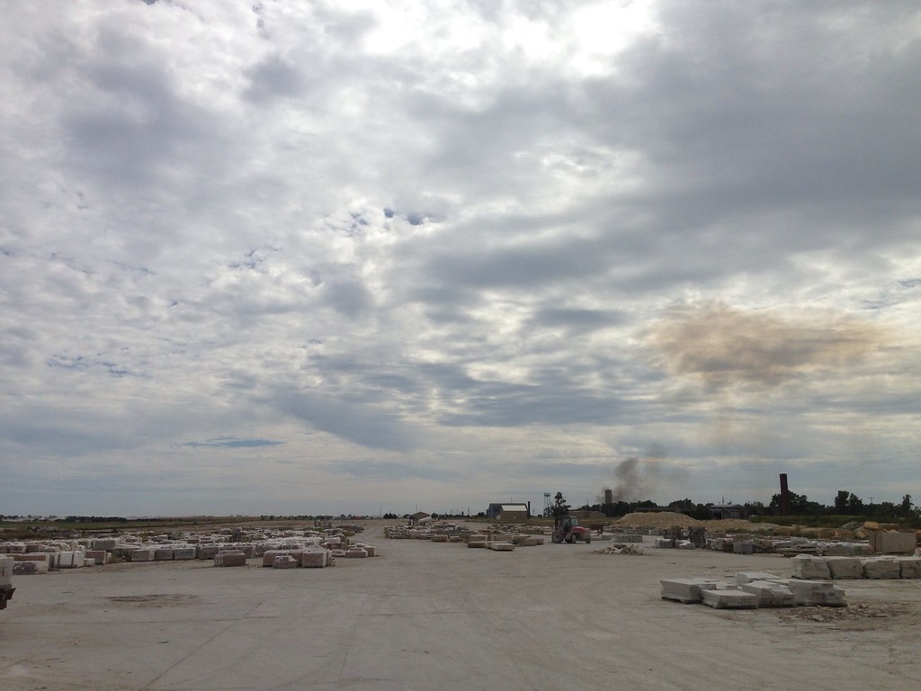
Burdick Food & Grain Mkt
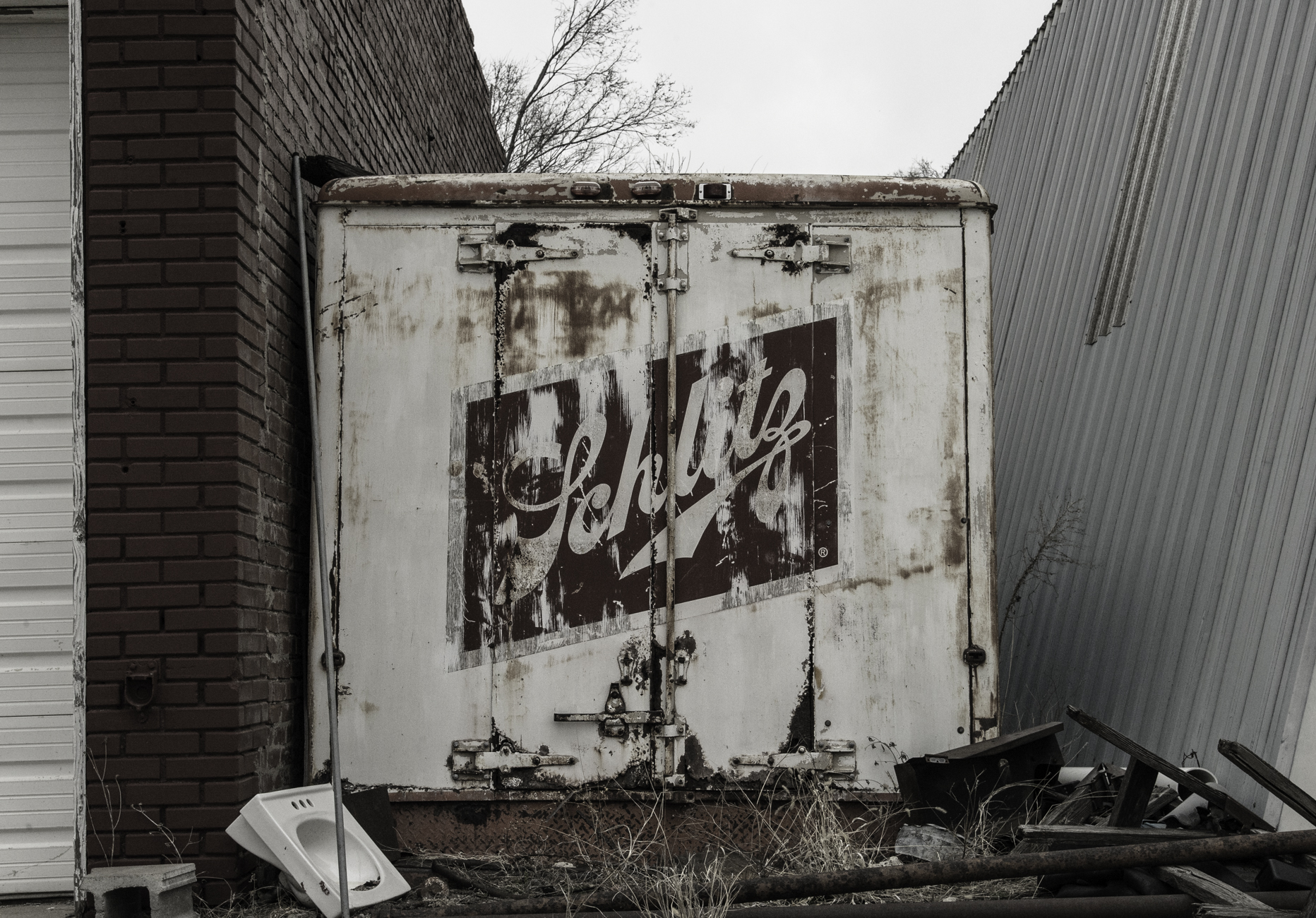
Beer Me
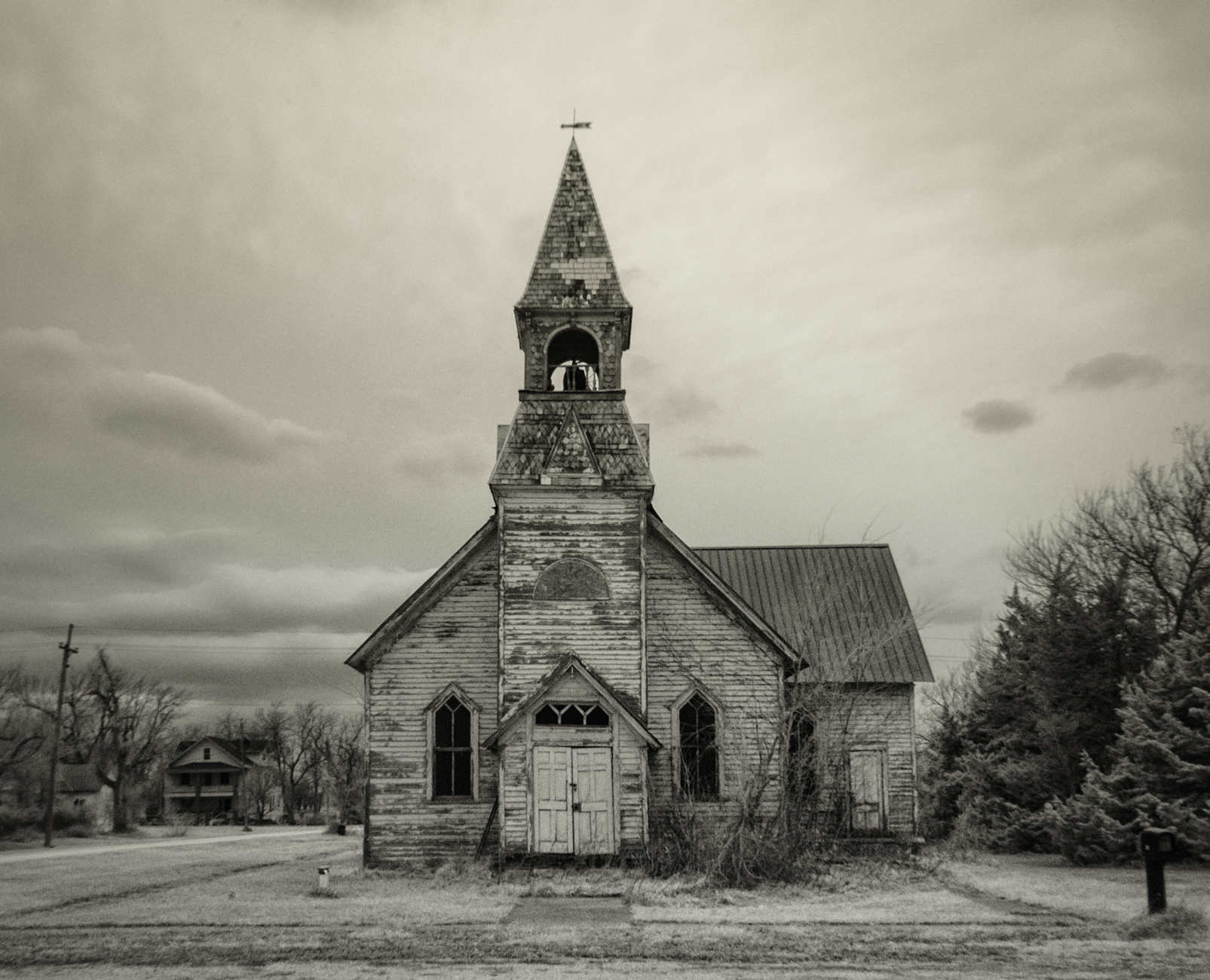
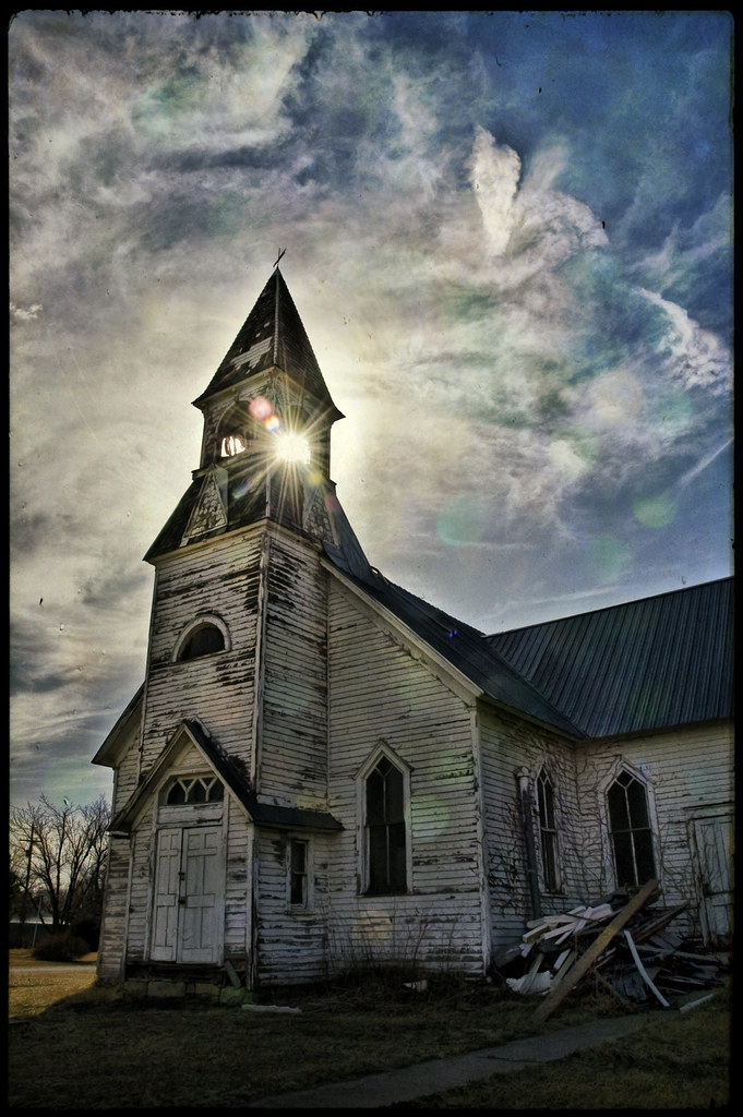
Lost Springs Church Revisted (explore)
Herington, Kansas
Herington, Kansas
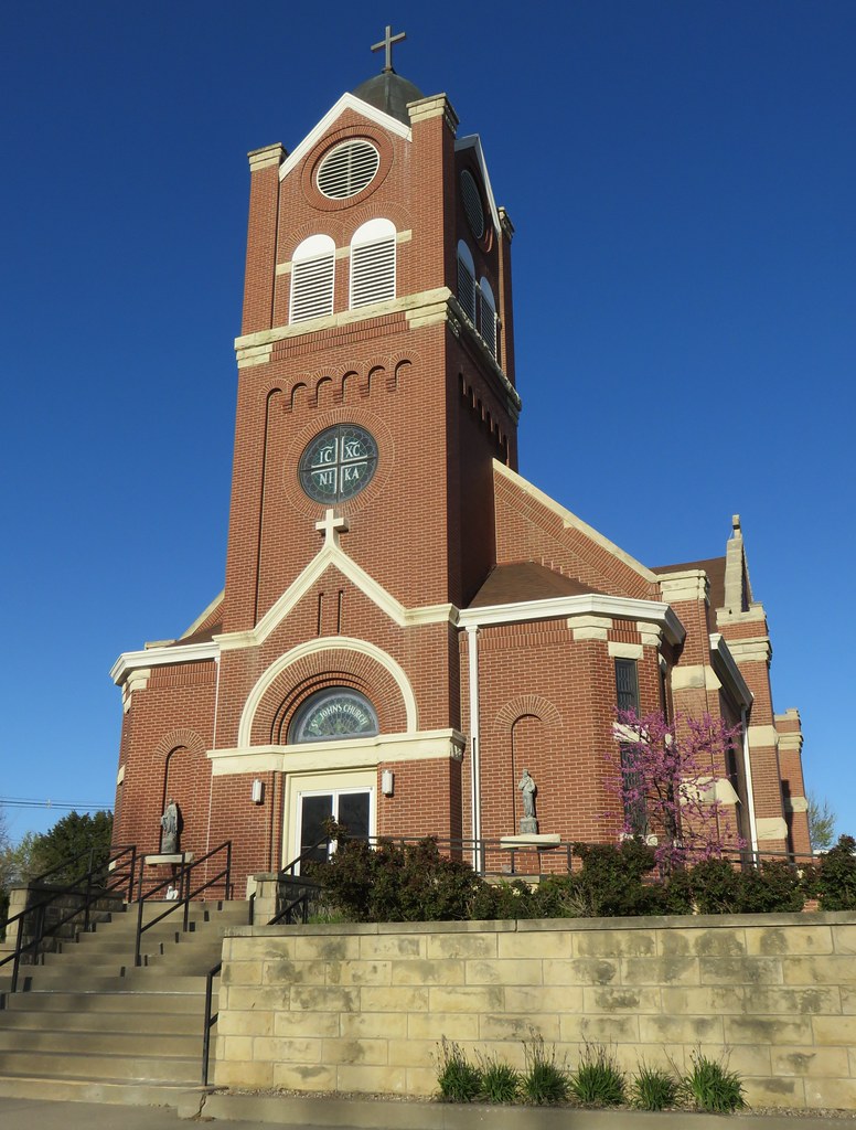
Saint Johns Catholic Church (Herington, Kansas)
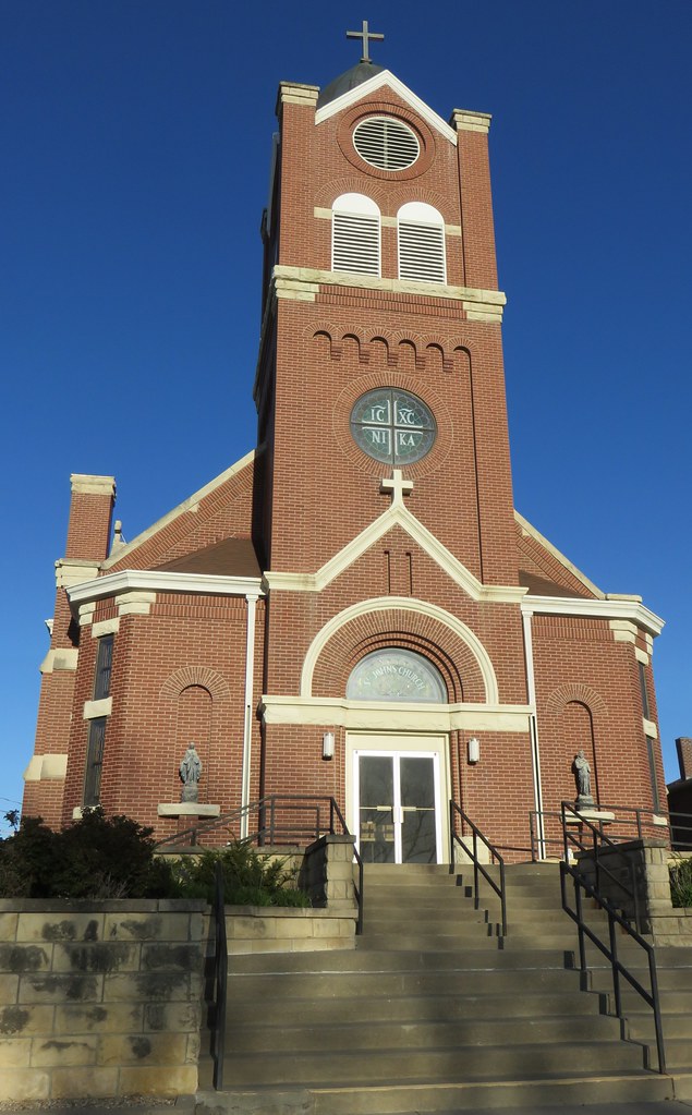
Saint Johns Catholic Church (Herington, Kansas)
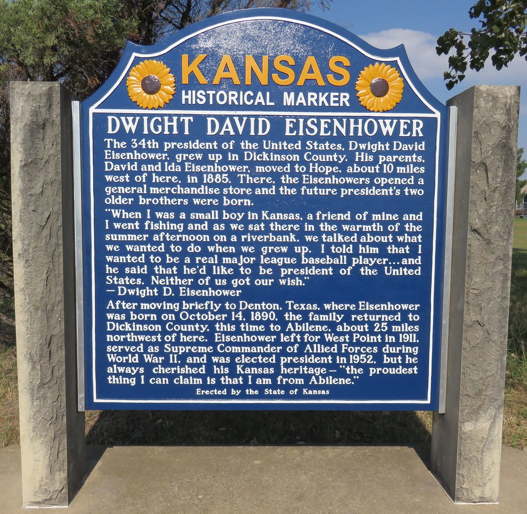
Dwight David Eisenhower Marker (Herington, Kansas)
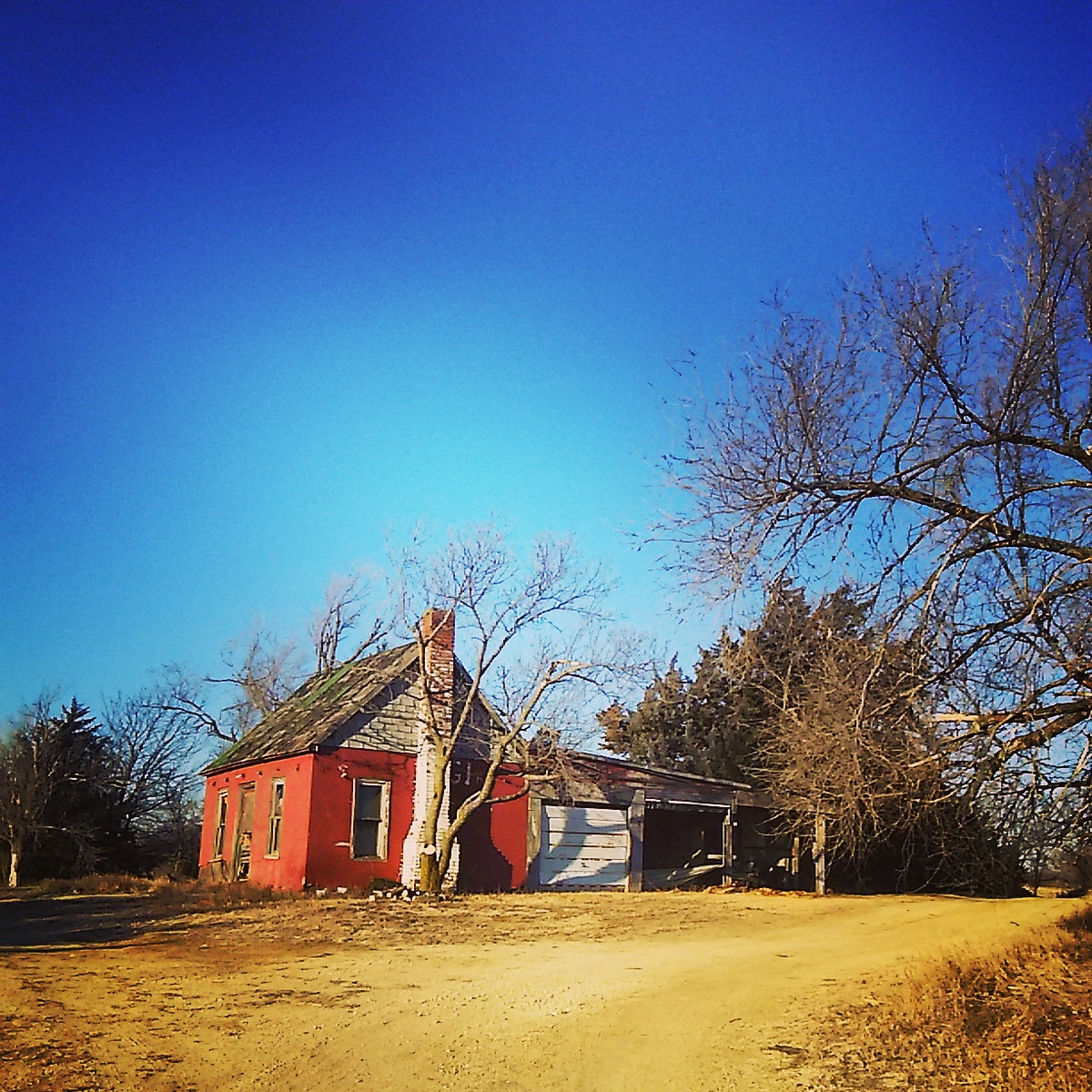
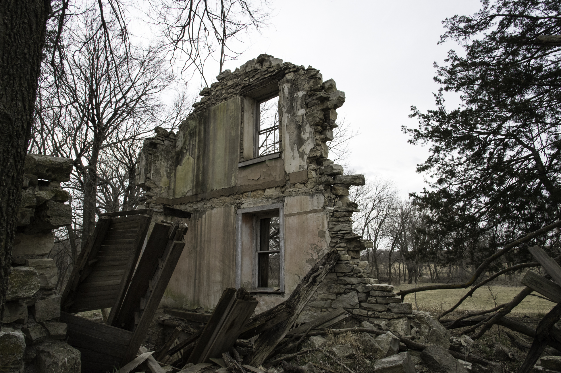
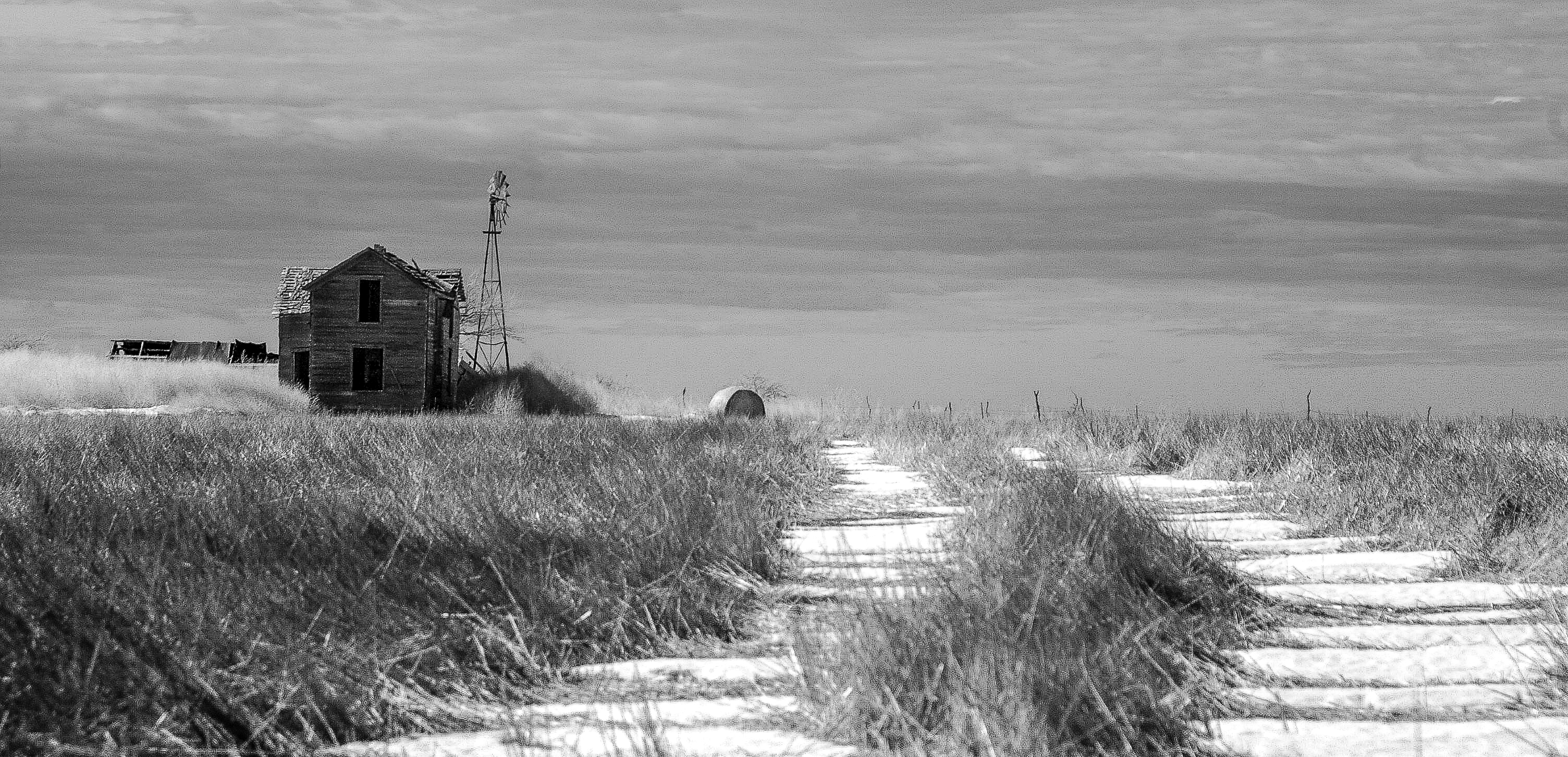
Abandoned near Abilene , Kansas
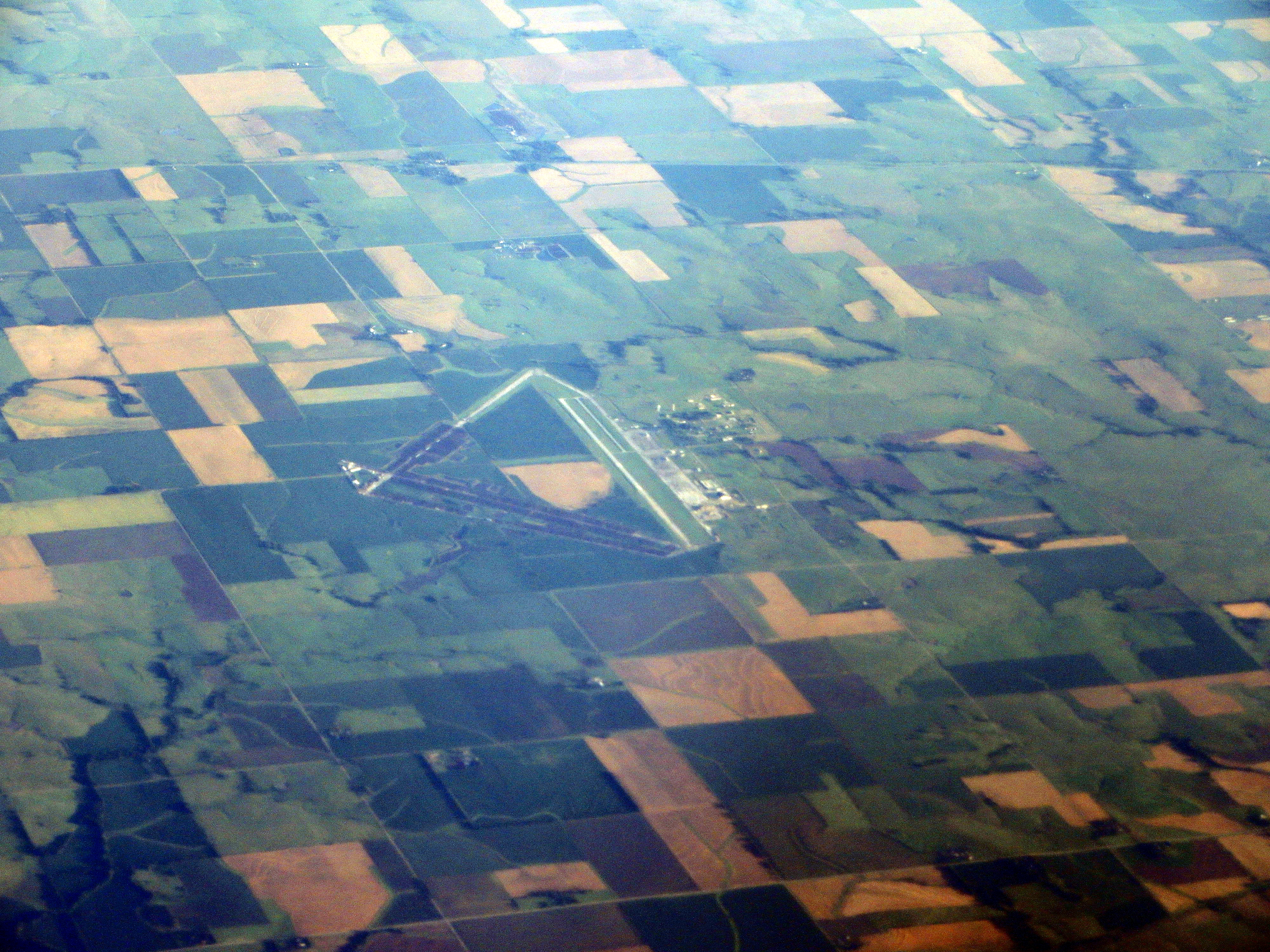
Herington Regional Airport, Herington, Kansas
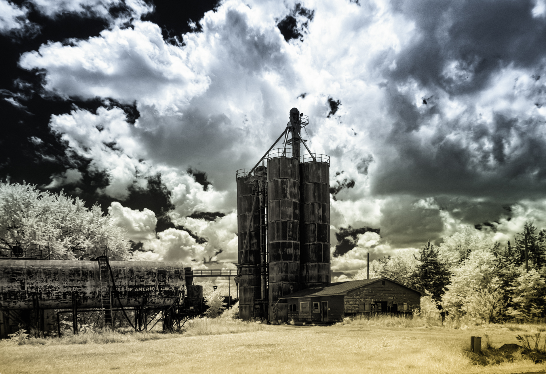
Winters Silence
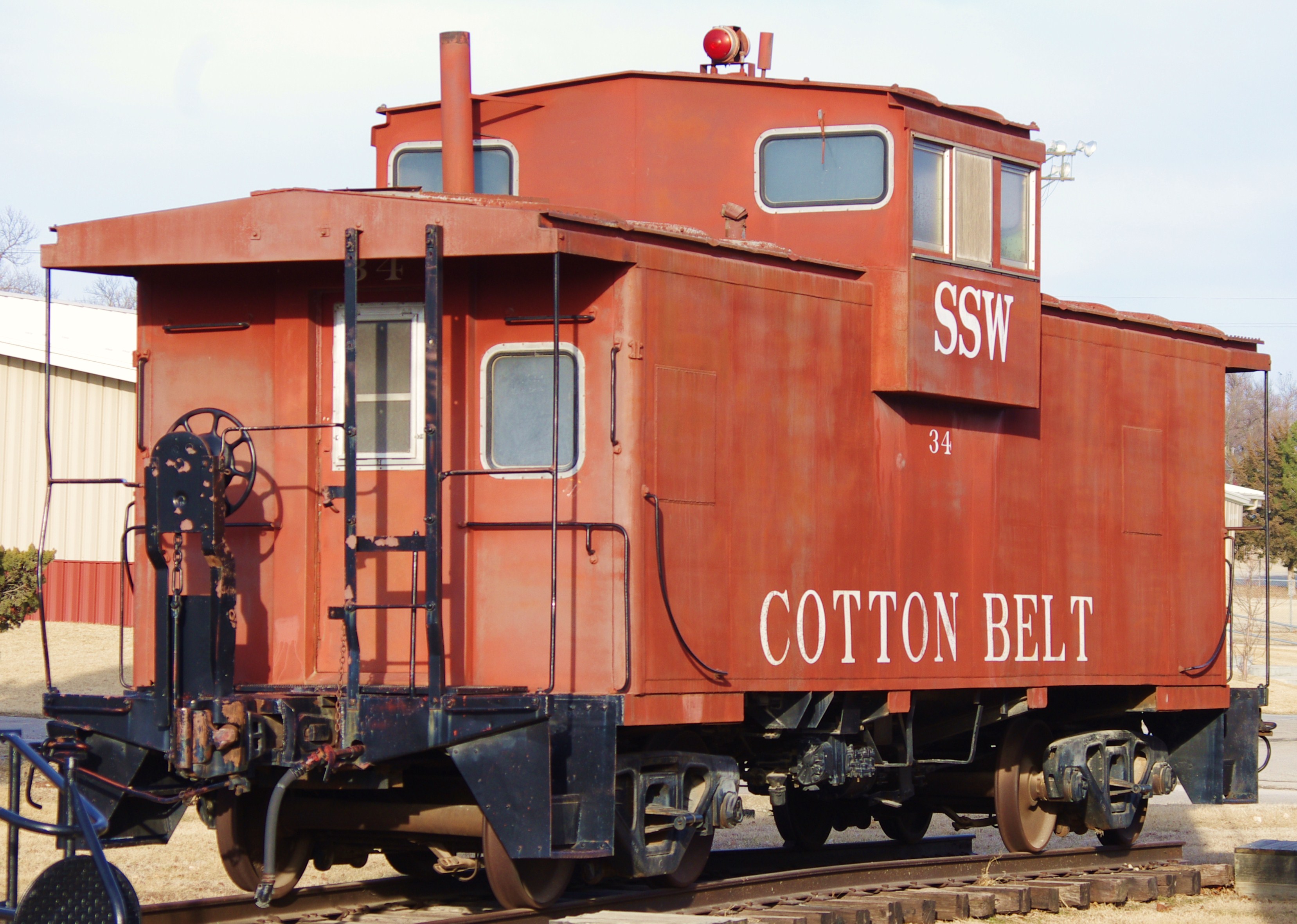
Cotton Belt #34

Ghost trip fall 2012

Ghost trip fall 2012

Ghost trip fall 2012

Ghost trip fall 2012
Topographic Map of Burdick, KS, USA
Find elevation by address:

Places in Burdick, KS, USA:
Places near Burdick, KS, USA:
8, KS, USA
Bb Ave, Burdick, KS, USA
Lincolnville
Kansas St, Lincolnville, KS, USA
Herington
17 E Main St, Herington, KS, USA
Lyon
Clear Creek
Unicorn Rd, Lincolnville, KS, USA
Ave, Ramona, KS, USA
649 Trail Rd
Morris County
Centre
White City
4 E Railway Ave, Woodbine, KS, USA
Woodbine
5, KS, USA
1051 E Lawrence St
Olive-Parkerville St, White City, KS, USA
Marion
Recent Searches:
- Elevation of Corso Fratelli Cairoli, 35, Macerata MC, Italy
- Elevation of Tallevast Rd, Sarasota, FL, USA
- Elevation of 4th St E, Sonoma, CA, USA
- Elevation of Black Hollow Rd, Pennsdale, PA, USA
- Elevation of Oakland Ave, Williamsport, PA, USA
- Elevation of Pedrógão Grande, Portugal
- Elevation of Klee Dr, Martinsburg, WV, USA
- Elevation of Via Roma, Pieranica CR, Italy
- Elevation of Tavkvetili Mountain, Georgia
- Elevation of Hartfords Bluff Cir, Mt Pleasant, SC, USA