Elevation of Lincolnville, KS, USA
Location: United States > Kansas > Marion County > Clear Creek >
Longitude: -96.960016
Latitude: 38.4933471
Elevation: 433m / 1421feet
Barometric Pressure: 96KPa
Elevation Map:
Satellite Map:
Related Photos:
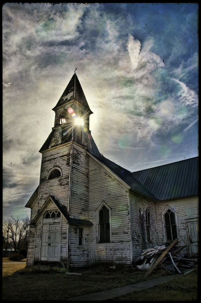
lost souls

Concrete Rainbow Arch Bridge. Marion, KS

wicked wind blowing

Road trip to Kansas
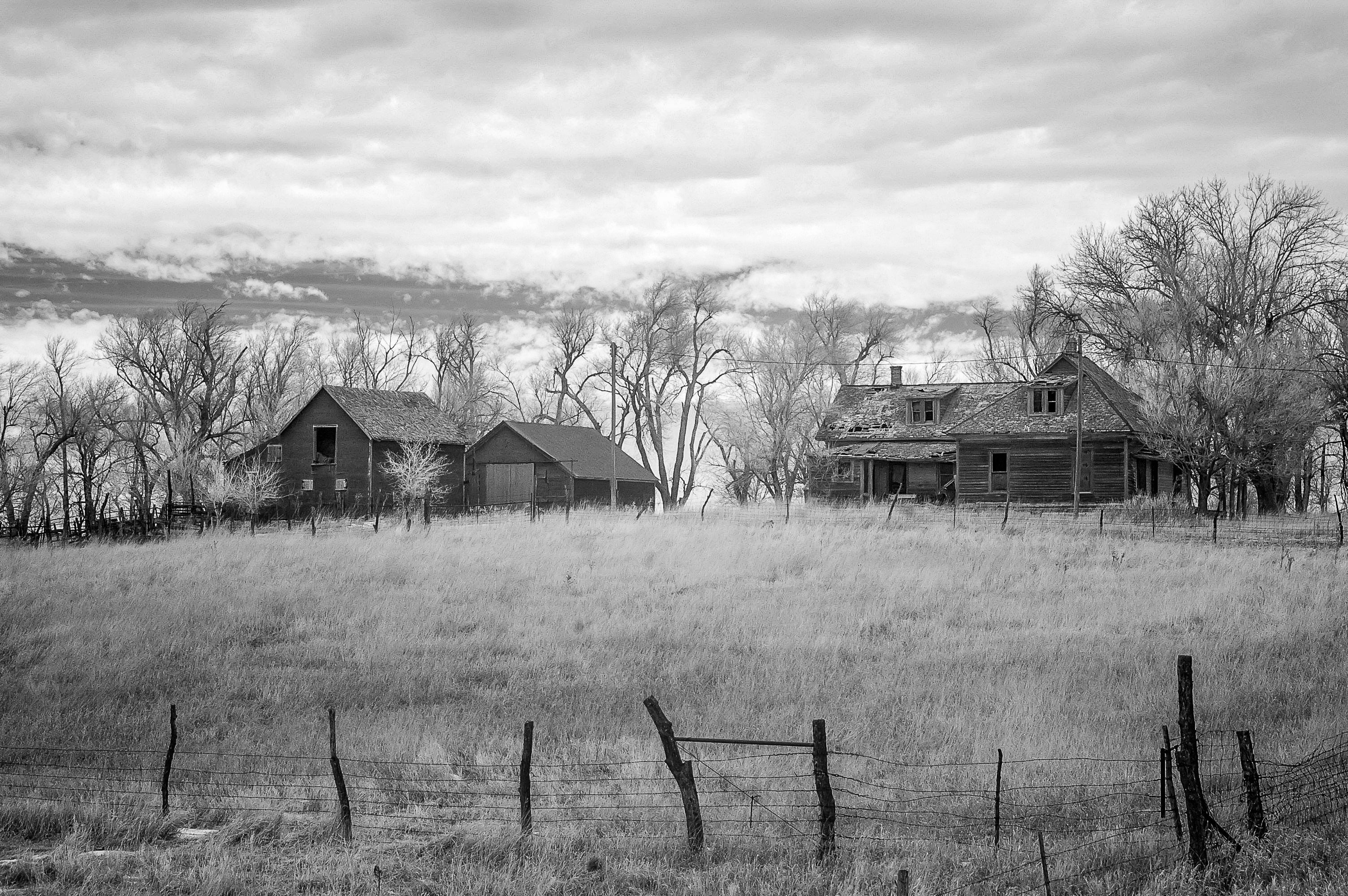
Days Gone By
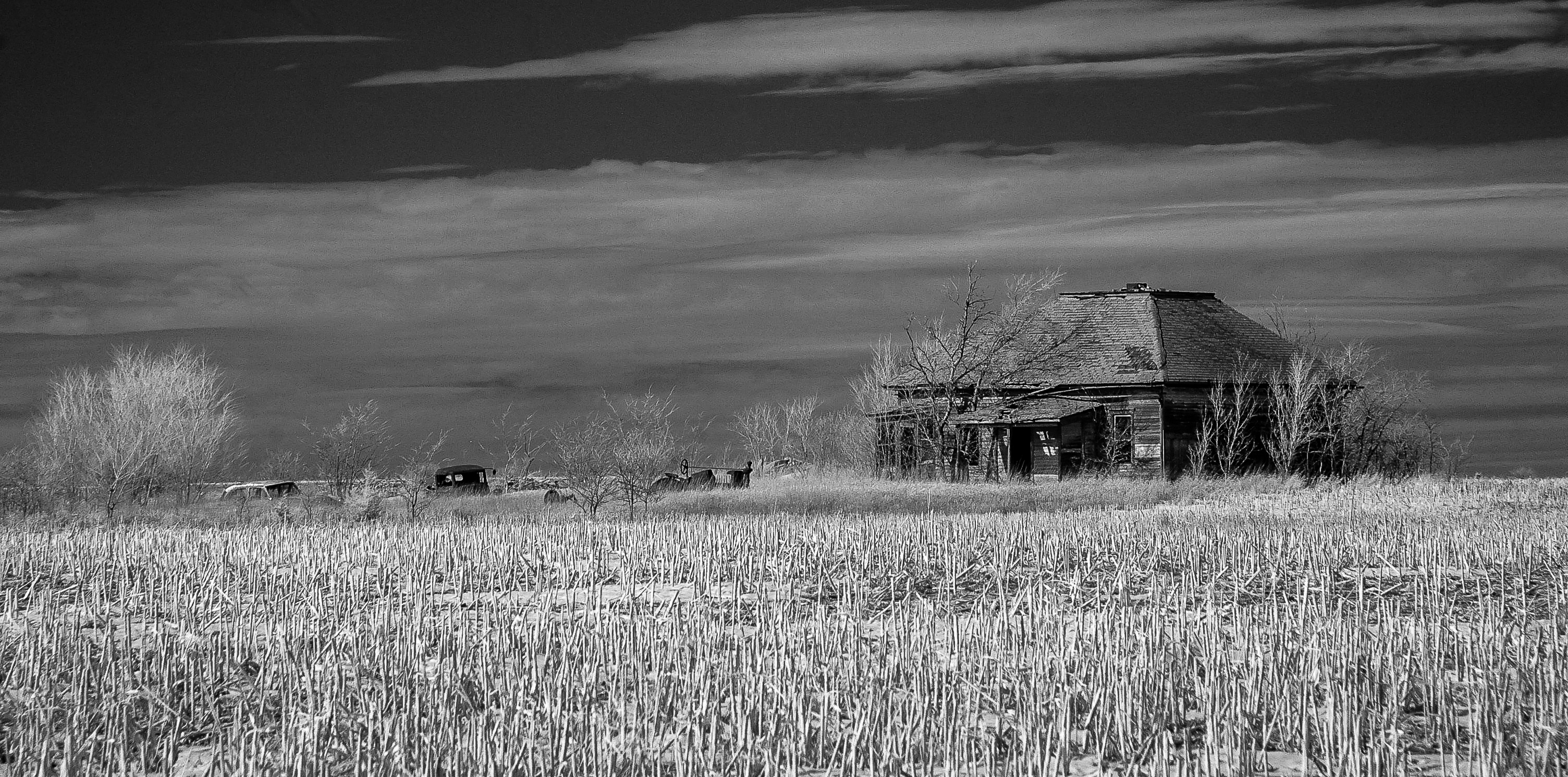
Moved On
Topographic Map of Lincolnville, KS, USA
Find elevation by address:

Places in Lincolnville, KS, USA:
Places near Lincolnville, KS, USA:
Kansas St, Lincolnville, KS, USA
Clear Creek
Unicorn Rd, Lincolnville, KS, USA
Burdick
Centre
Lyon
Ave, Ramona, KS, USA
1051 E Lawrence St
Marion
300 Santa Fe
416 E Main St
8, KS, USA
Herington
17 E Main St, Herington, KS, USA
649 Trail Rd
Bb Ave, Burdick, KS, USA
W 7th St, Florence, KS, USA
Florence
Clements
Woodbine
Recent Searches:
- Elevation of Corso Fratelli Cairoli, 35, Macerata MC, Italy
- Elevation of Tallevast Rd, Sarasota, FL, USA
- Elevation of 4th St E, Sonoma, CA, USA
- Elevation of Black Hollow Rd, Pennsdale, PA, USA
- Elevation of Oakland Ave, Williamsport, PA, USA
- Elevation of Pedrógão Grande, Portugal
- Elevation of Klee Dr, Martinsburg, WV, USA
- Elevation of Via Roma, Pieranica CR, Italy
- Elevation of Tavkvetili Mountain, Georgia
- Elevation of Hartfords Bluff Cir, Mt Pleasant, SC, USA