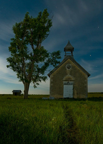
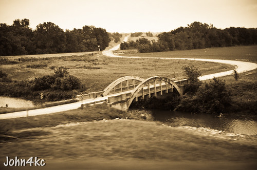
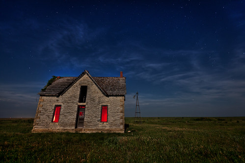
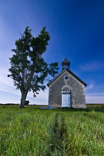
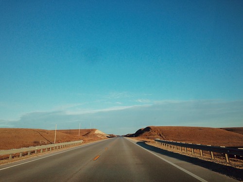
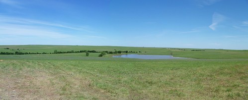
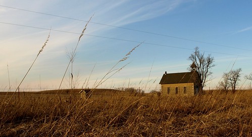
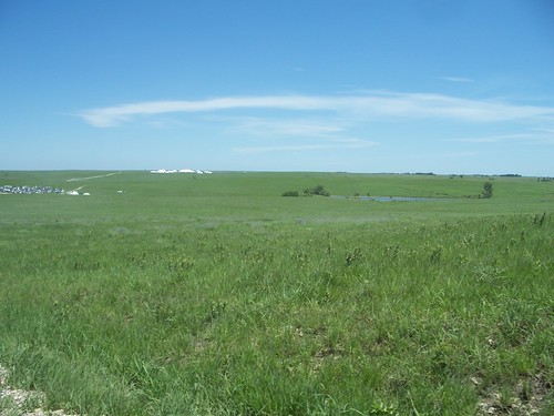
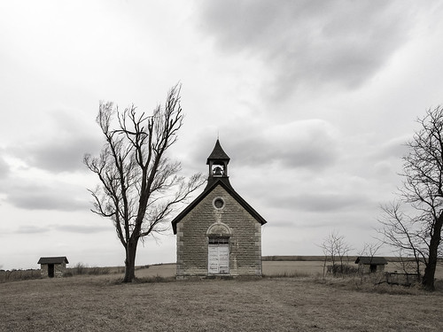
Elevation of W 7th St, Florence, KS, USA
Location: United States > Kansas > Marion County > Florence >
Longitude: -96.927705
Latitude: 38.2445957
Elevation: 388m / 1273feet
Barometric Pressure: 97KPa
Related Photos:
Topographic Map of W 7th St, Florence, KS, USA
Find elevation by address:

Places near W 7th St, Florence, KS, USA:
Florence
Centre
Milton
1051 E Lawrence St
Marion
416 E Main St
300 Santa Fe
Broadway St, Burns, KS, USA
Burns
Clements
Unicorn Rd, Lincolnville, KS, USA
Clear Creek
Kansas St, Lincolnville, KS, USA
Lincolnville
NW Trumbell Rd, Burns, KS, USA
Lincoln
Burdick
8, KS, USA
Chase County
Cassoday
Recent Searches:
- Elevation of Corso Fratelli Cairoli, 35, Macerata MC, Italy
- Elevation of Tallevast Rd, Sarasota, FL, USA
- Elevation of 4th St E, Sonoma, CA, USA
- Elevation of Black Hollow Rd, Pennsdale, PA, USA
- Elevation of Oakland Ave, Williamsport, PA, USA
- Elevation of Pedrógão Grande, Portugal
- Elevation of Klee Dr, Martinsburg, WV, USA
- Elevation of Via Roma, Pieranica CR, Italy
- Elevation of Tavkvetili Mountain, Georgia
- Elevation of Hartfords Bluff Cir, Mt Pleasant, SC, USA
