Elevation of Clear Creek, KS, USA
Location: United States > Kansas > Marion County >
Longitude: -96.985347
Latitude: 38.465869
Elevation: 436m / 1430feet
Barometric Pressure: 96KPa
Elevation Map:
Satellite Map:
Related Photos:
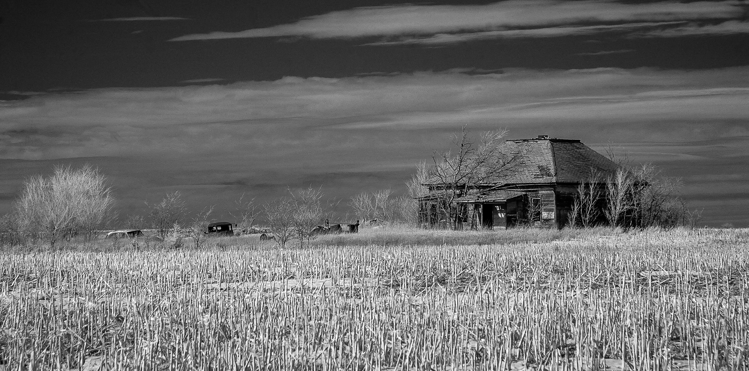
lost souls

Concrete Rainbow Arch Bridge. Marion, KS

wicked wind blowing

Road trip to Kansas
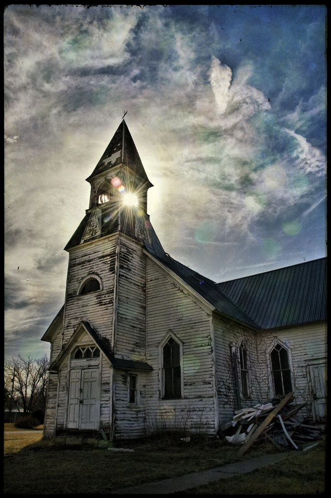
Days Gone By
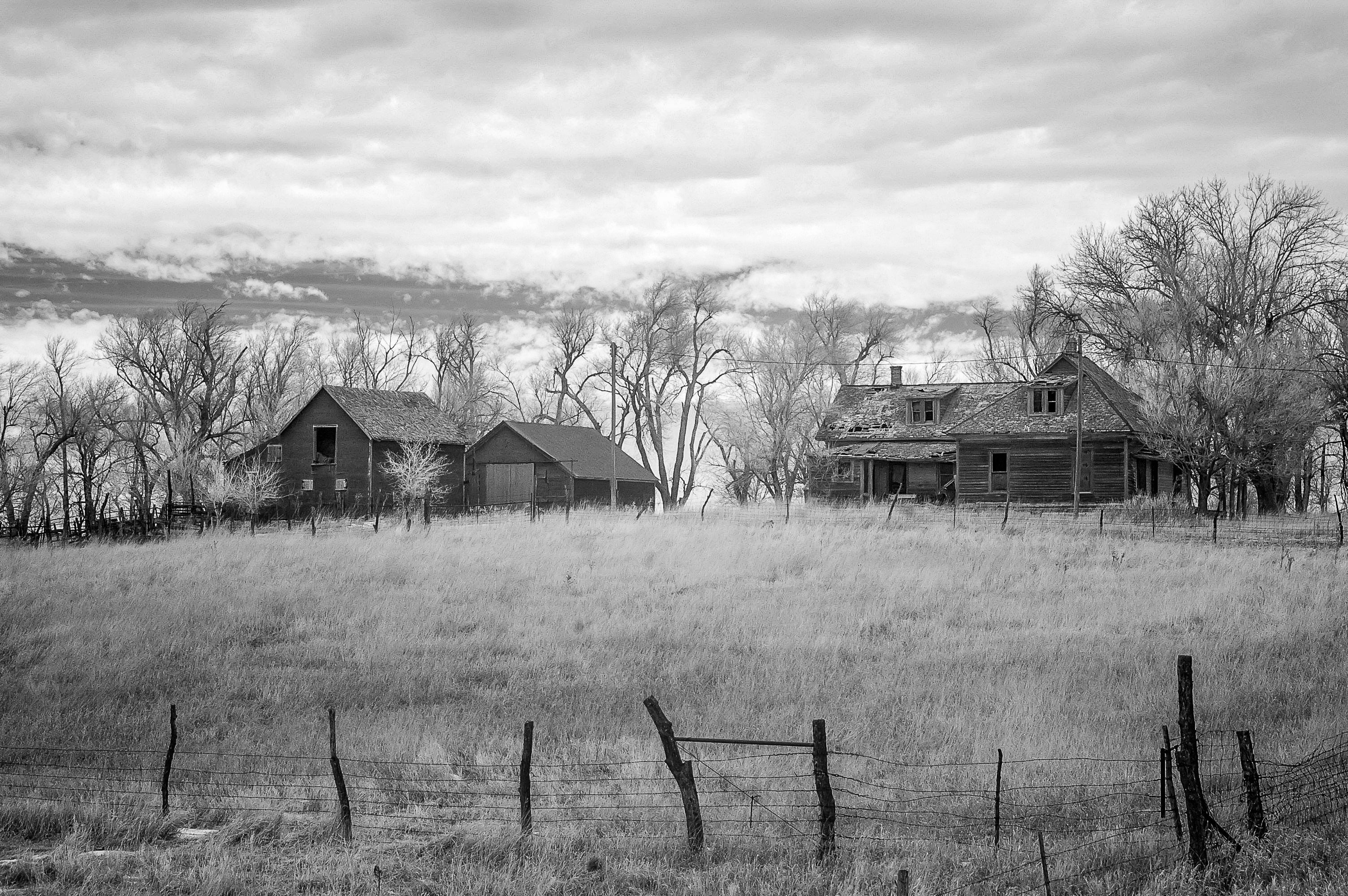
Moved On

Marion Reservoir Sunset

Gulls at Sunset

Marion Reservoir Sunset
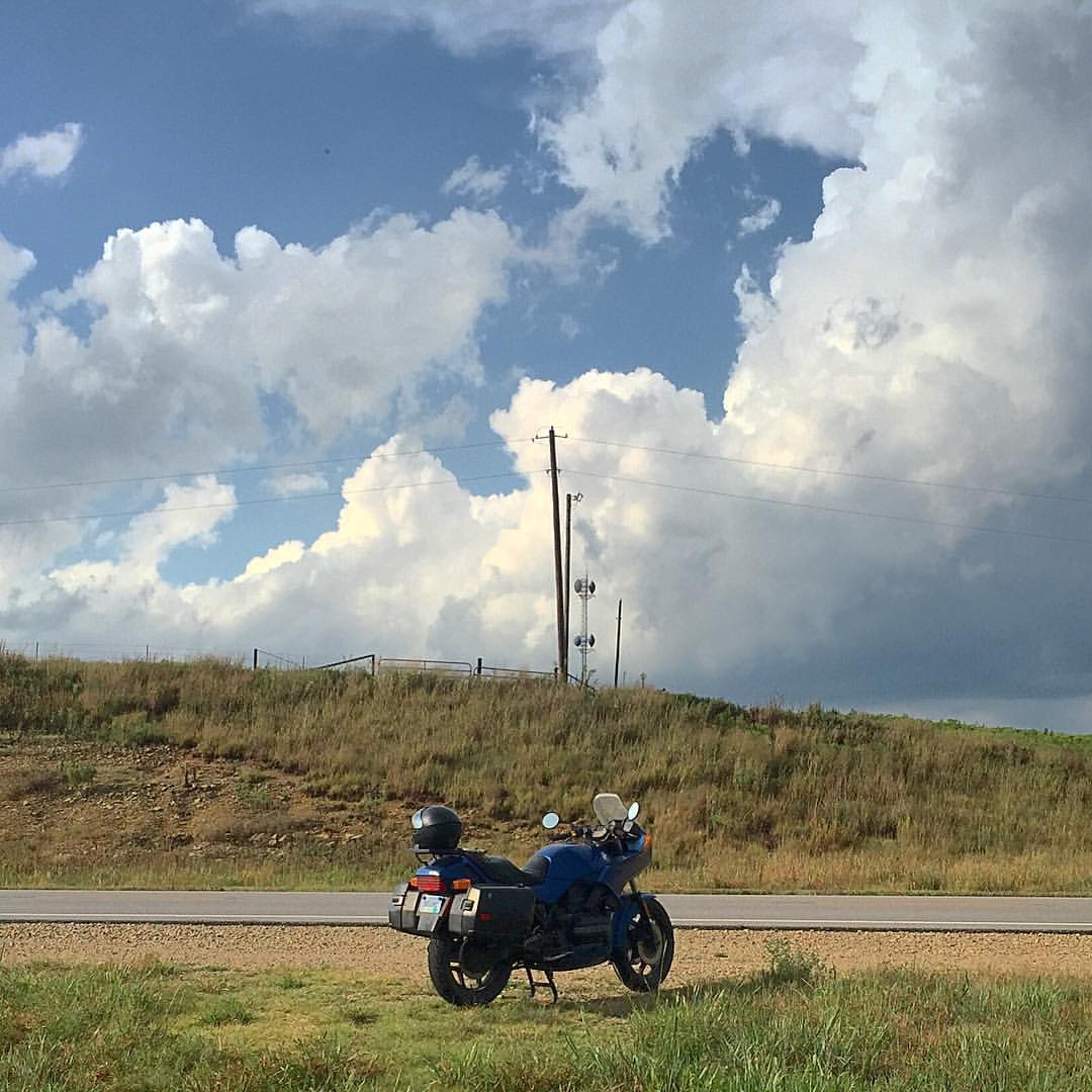
Moto in the Great Plains
Topographic Map of Clear Creek, KS, USA
Find elevation by address:

Places in Clear Creek, KS, USA:
Places near Clear Creek, KS, USA:
Unicorn Rd, Lincolnville, KS, USA
Kansas St, Lincolnville, KS, USA
Lincolnville
Centre
1051 E Lawrence St
300 Santa Fe
Marion
416 E Main St
Ave, Ramona, KS, USA
Lyon
Burdick
8, KS, USA
Herington
17 E Main St, Herington, KS, USA
649 Trail Rd
W 7th St, Florence, KS, USA
Florence
Bb Ave, Burdick, KS, USA
Clements
Woodbine
Recent Searches:
- Elevation of Corso Fratelli Cairoli, 35, Macerata MC, Italy
- Elevation of Tallevast Rd, Sarasota, FL, USA
- Elevation of 4th St E, Sonoma, CA, USA
- Elevation of Black Hollow Rd, Pennsdale, PA, USA
- Elevation of Oakland Ave, Williamsport, PA, USA
- Elevation of Pedrógão Grande, Portugal
- Elevation of Klee Dr, Martinsburg, WV, USA
- Elevation of Via Roma, Pieranica CR, Italy
- Elevation of Tavkvetili Mountain, Georgia
- Elevation of Hartfords Bluff Cir, Mt Pleasant, SC, USA