Elevation of Florence, KS, USA
Location: United States > Kansas > Marion County >
Longitude: -96.928078
Latitude: 38.244462
Elevation: 388m / 1273feet
Barometric Pressure: 97KPa
Elevation Map:
Satellite Map:
Related Photos:
Sup Doc?
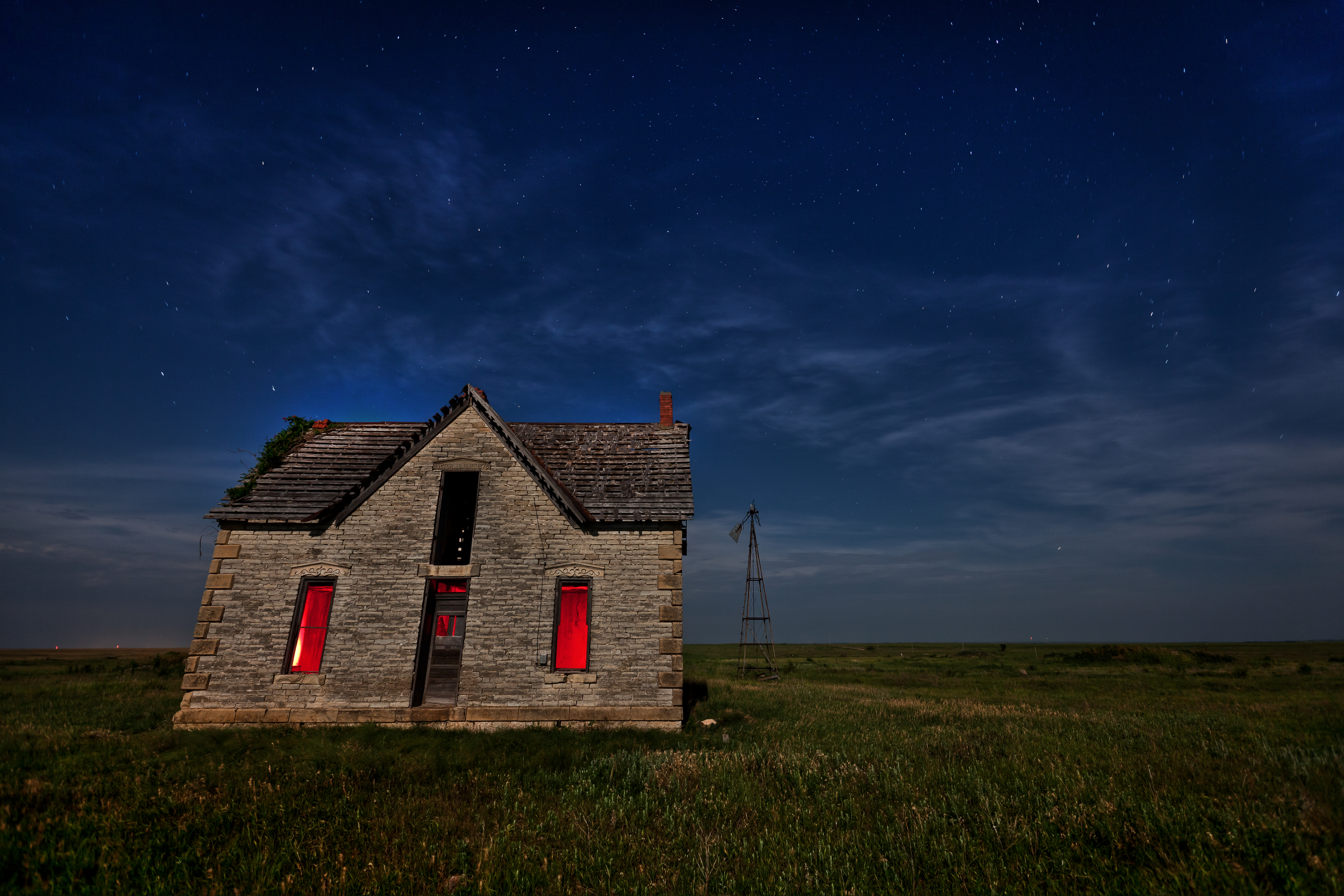
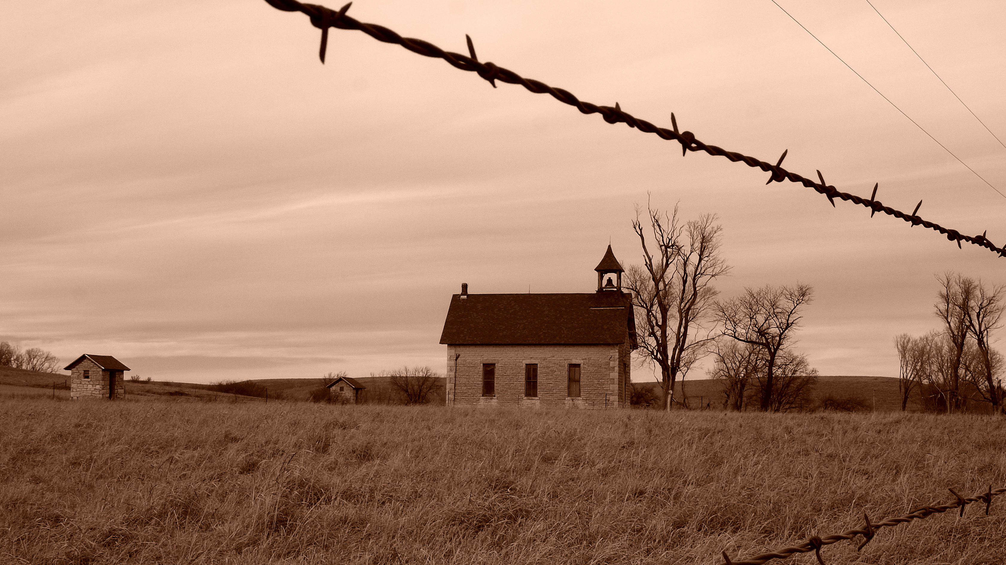
Little School House on the Prairie
Cedar Point School

Concrete Rainbow Arch Bridge. Marion, KS
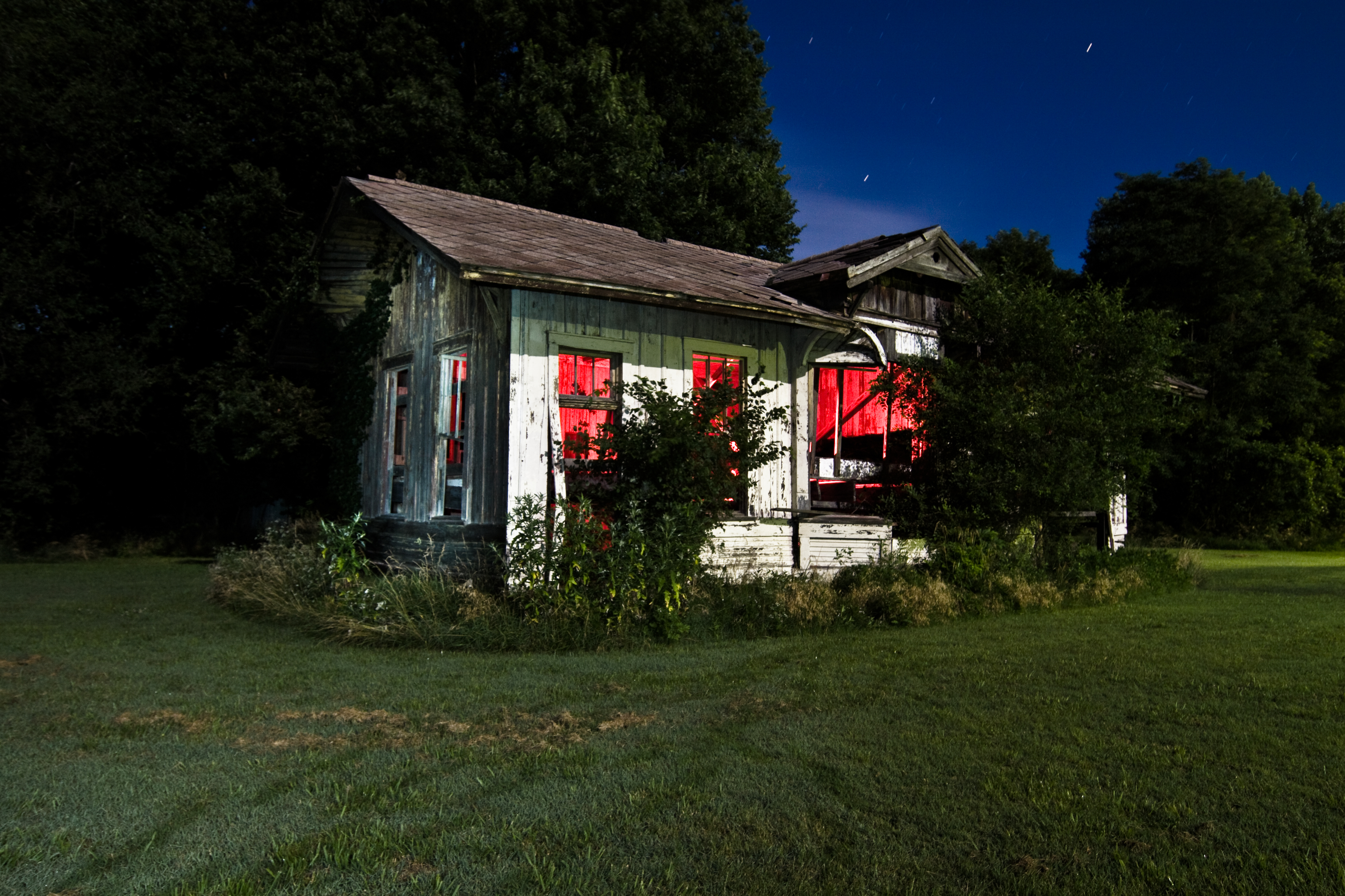
All Aboard
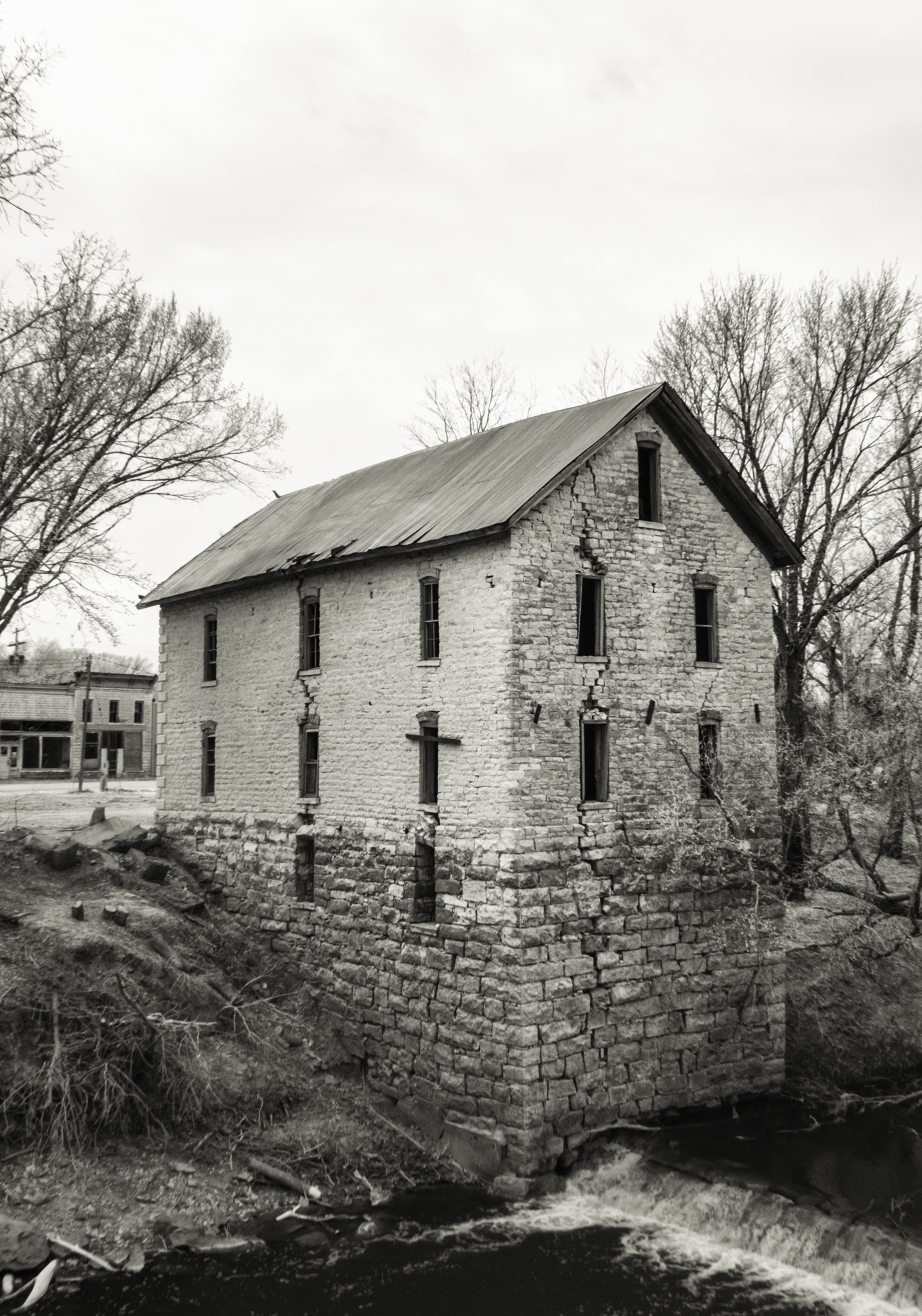
Old Mill at Cedar Point, 3/4 View
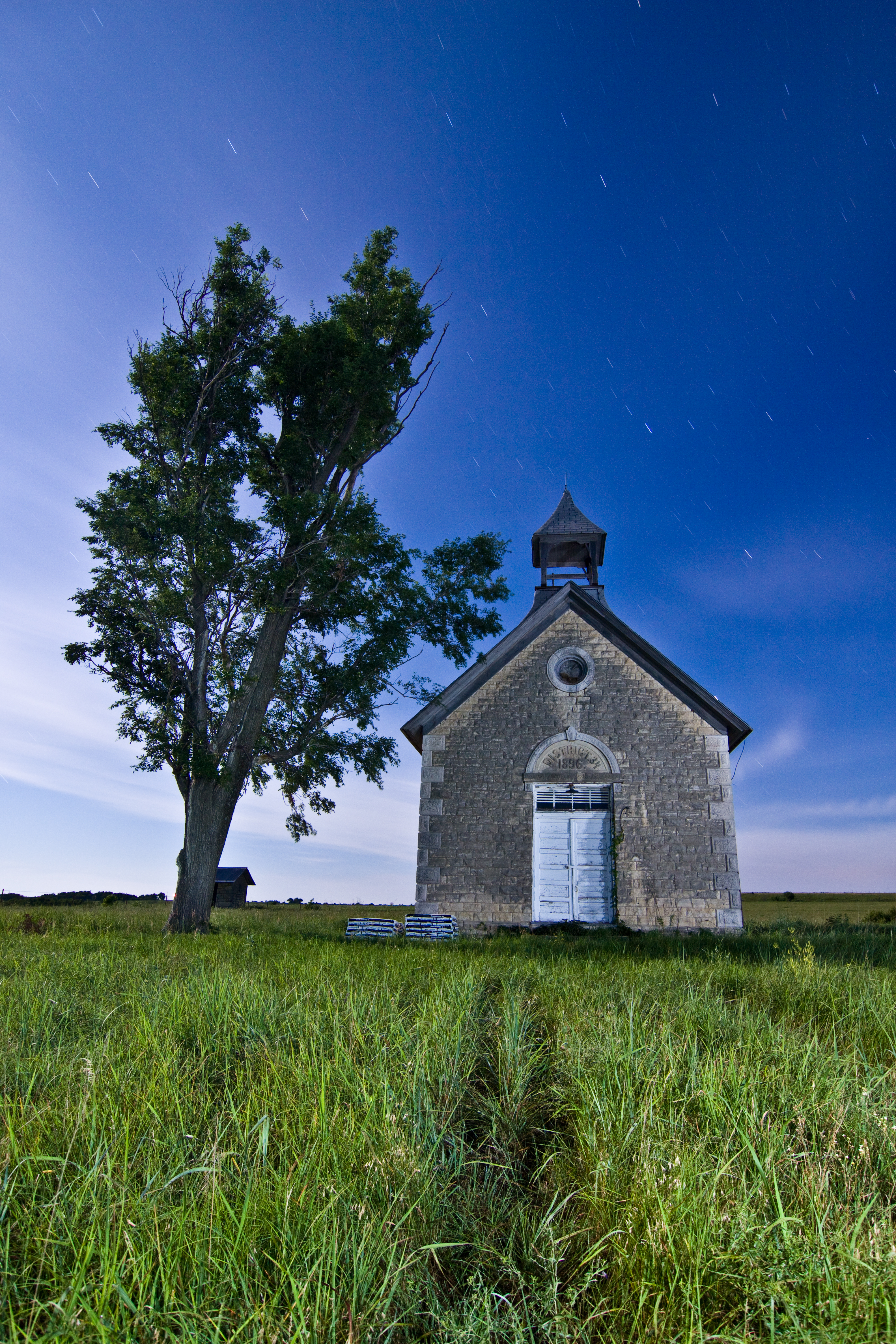
District 34. 1896 ... E3_20150118_134457_1515_v05
362/365 December 28
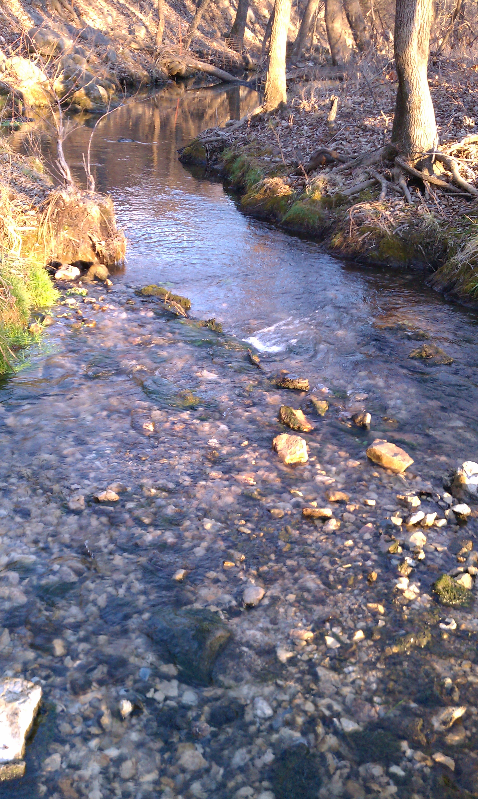
Creek bed below Crystal Spring
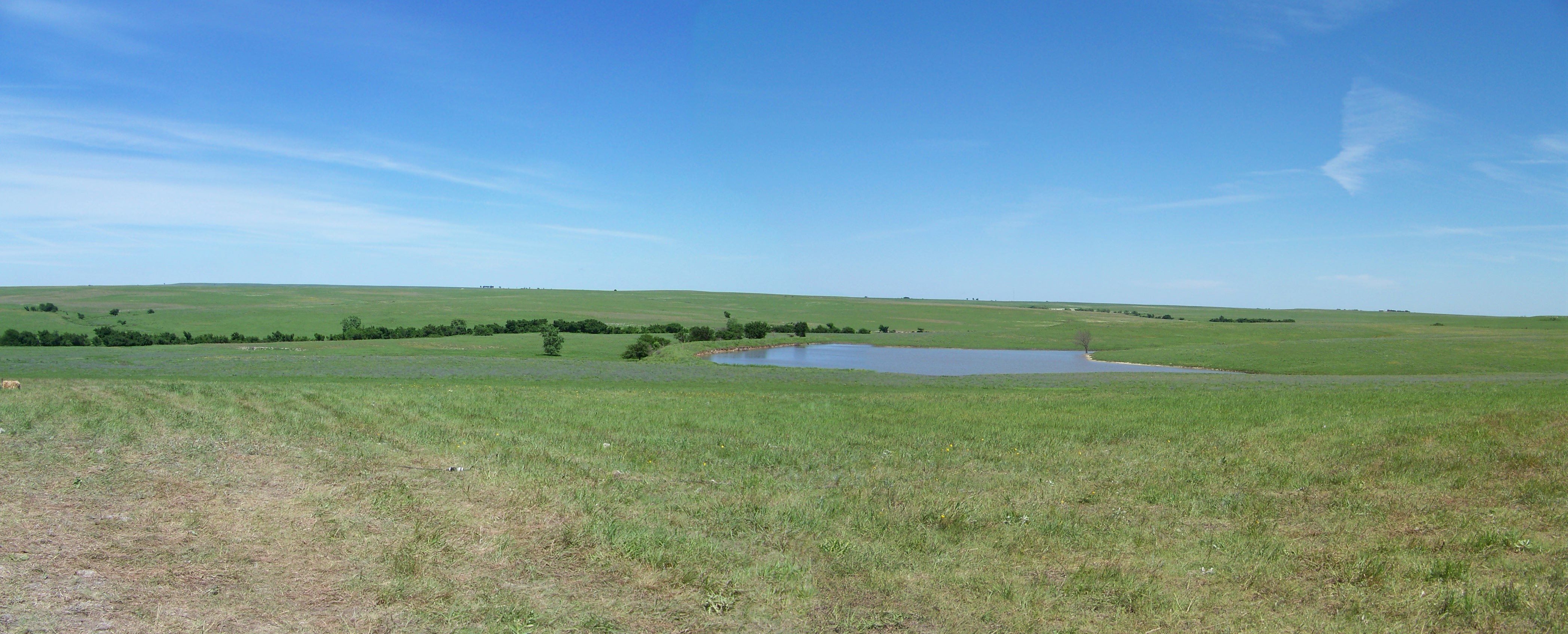
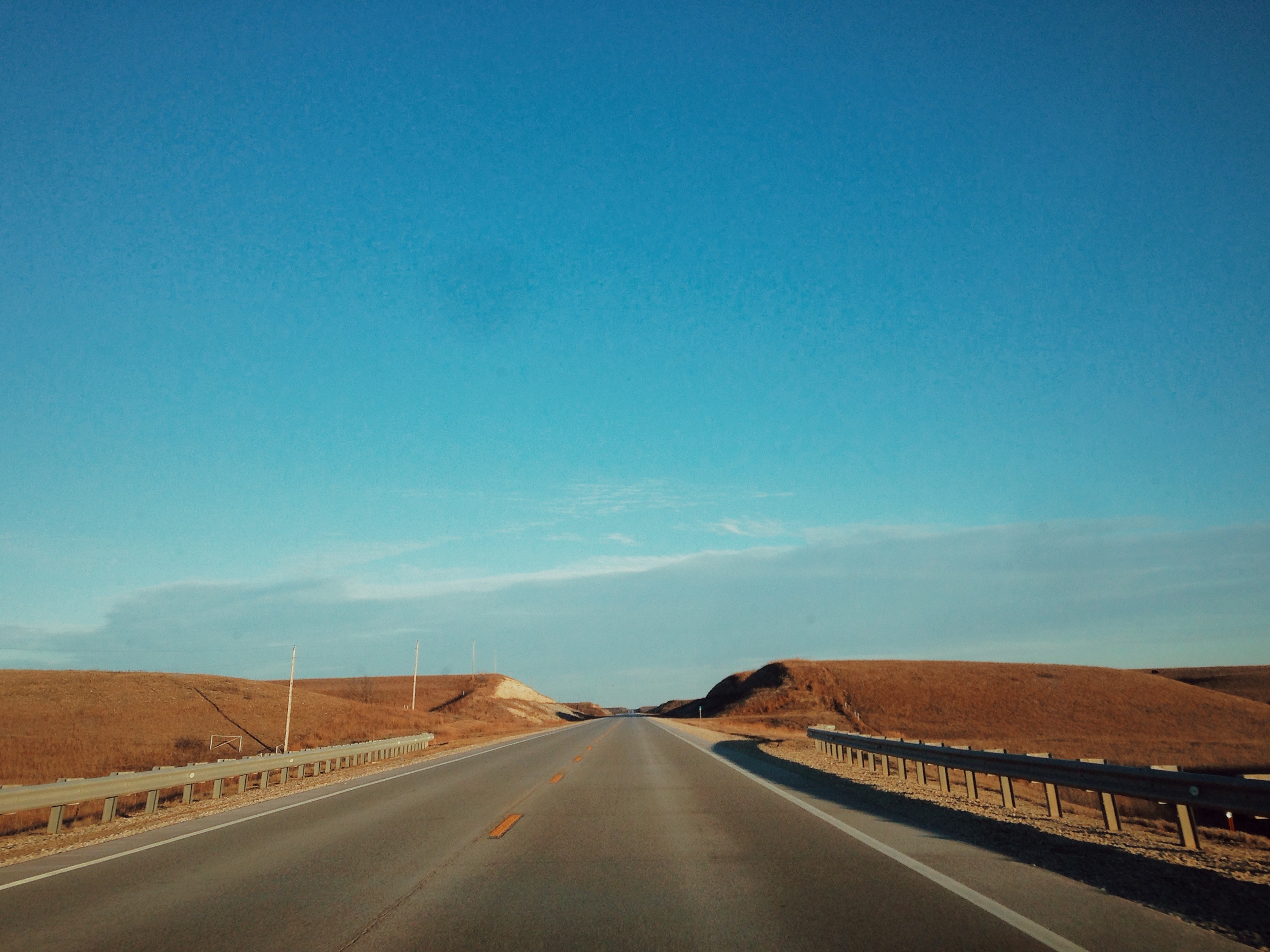
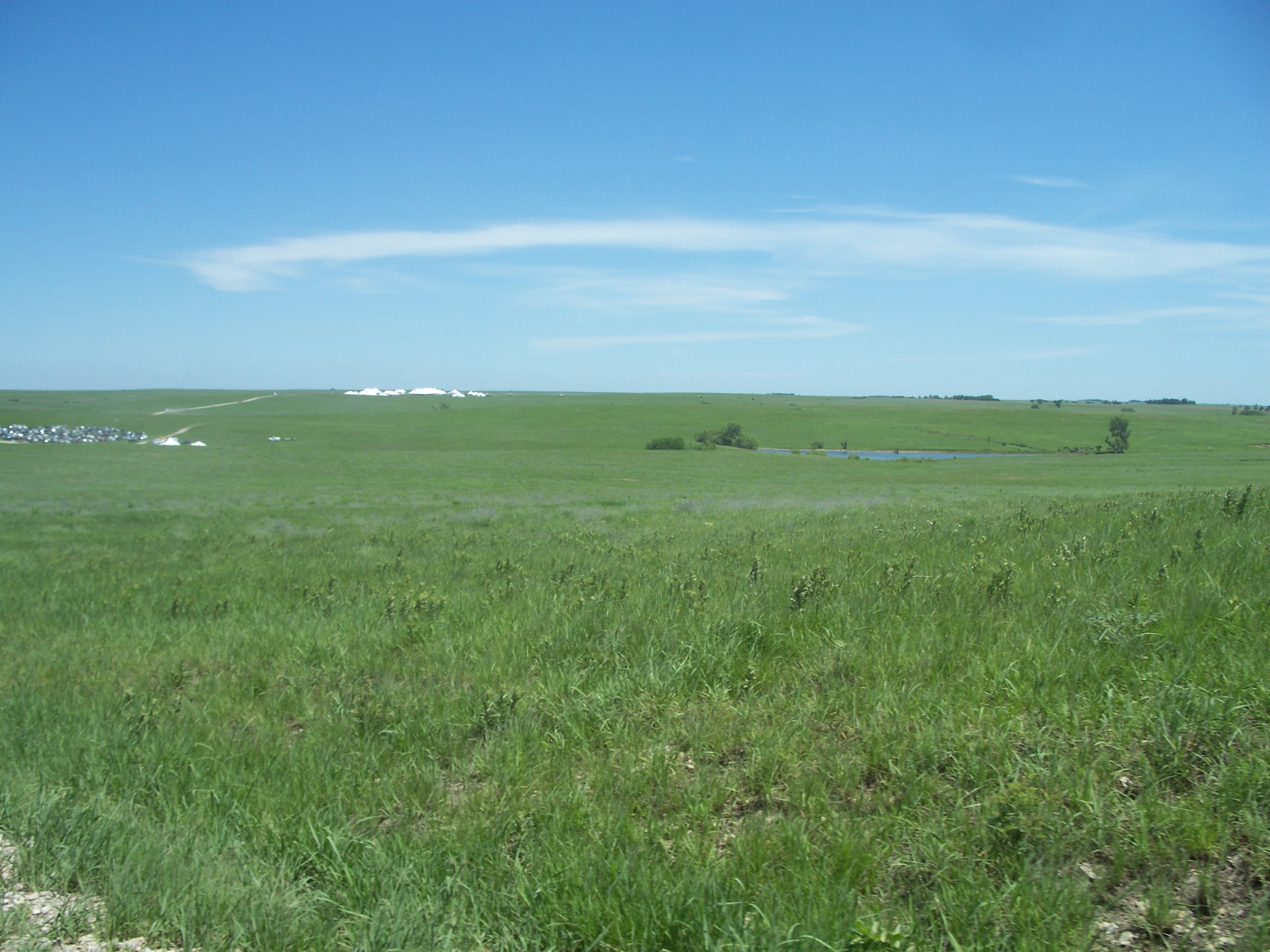
Flint Hills
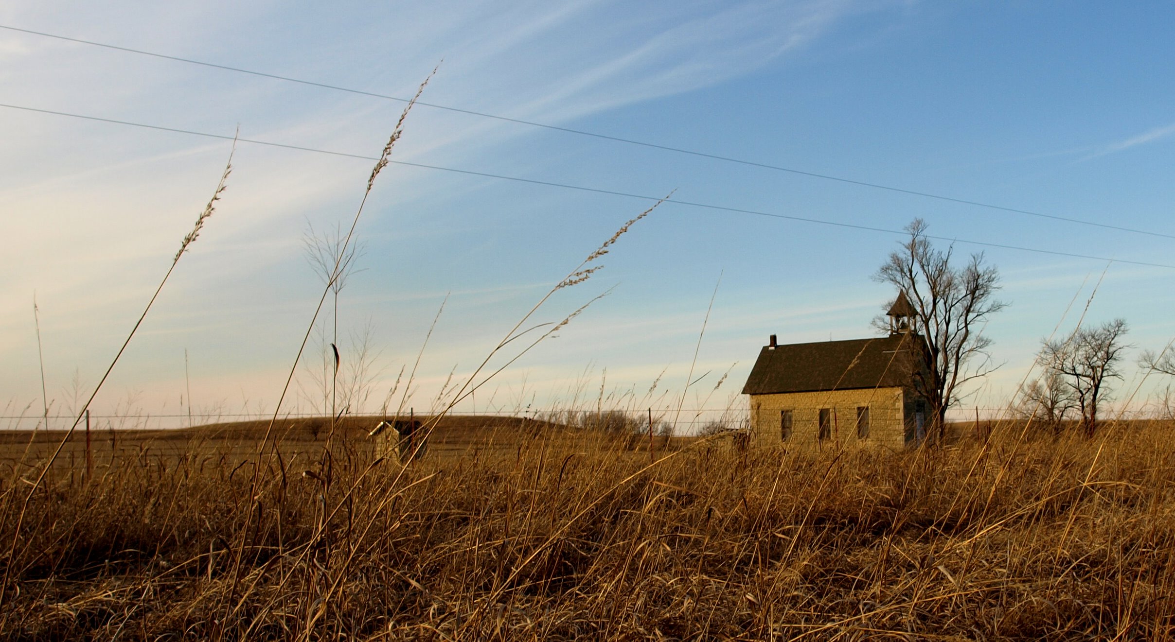
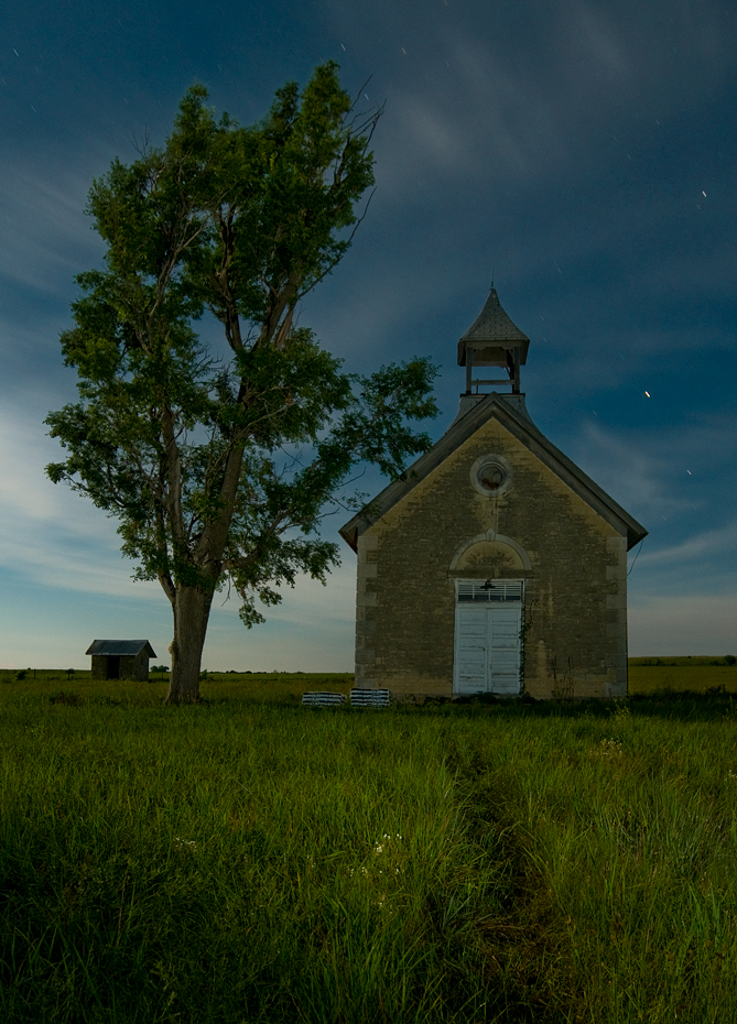
Flint Hills Schoolhouse 2010-01-26 01
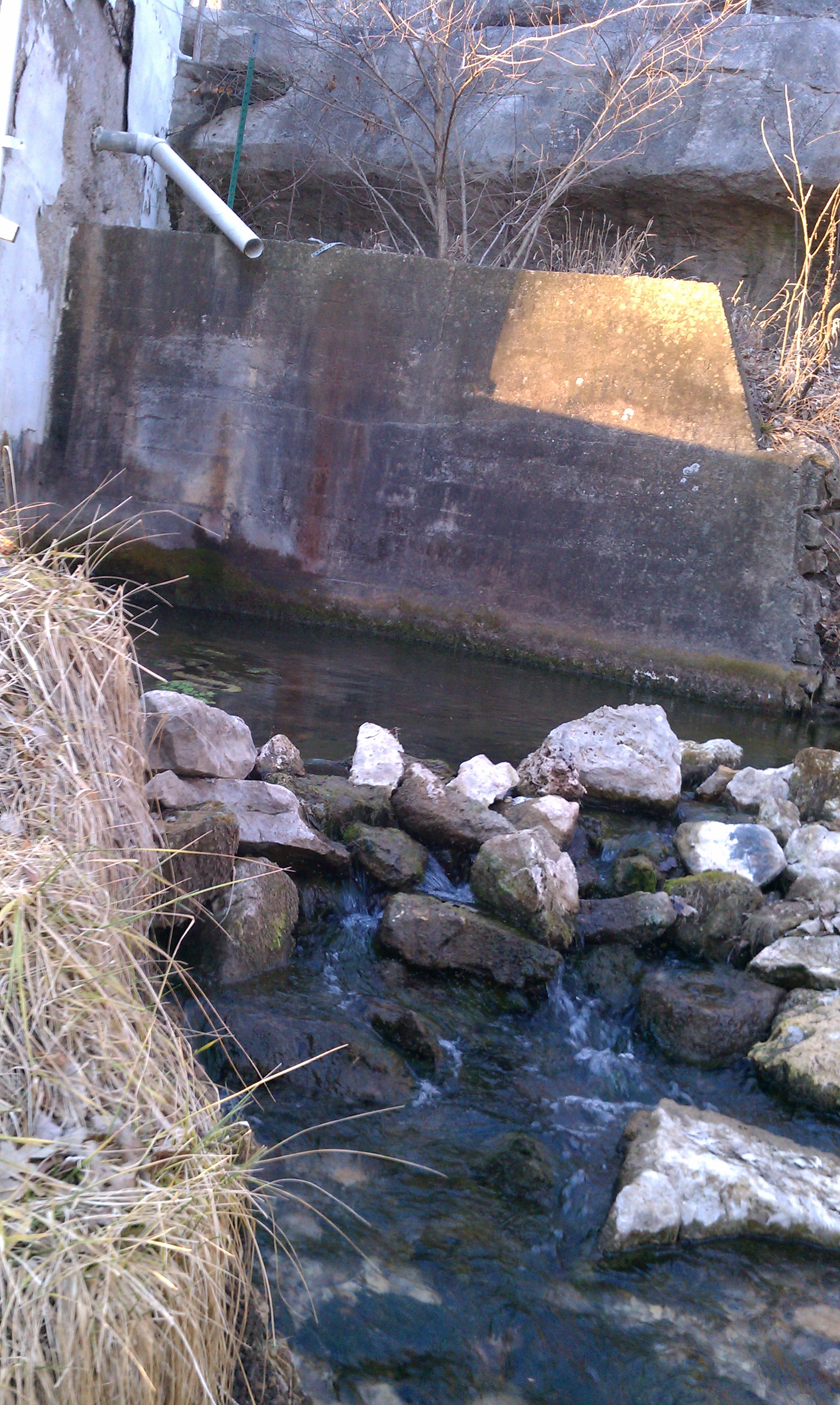
No spring water from overflow pipe
Smyphony in the Flint Hills
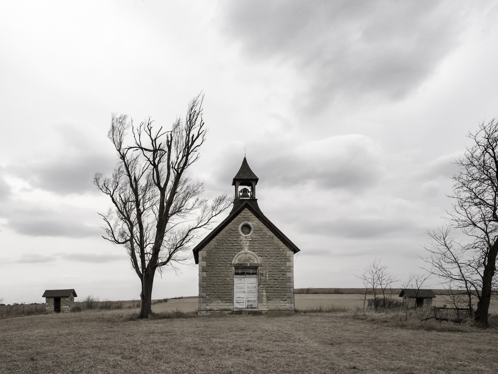
District 34 Schoolhouse
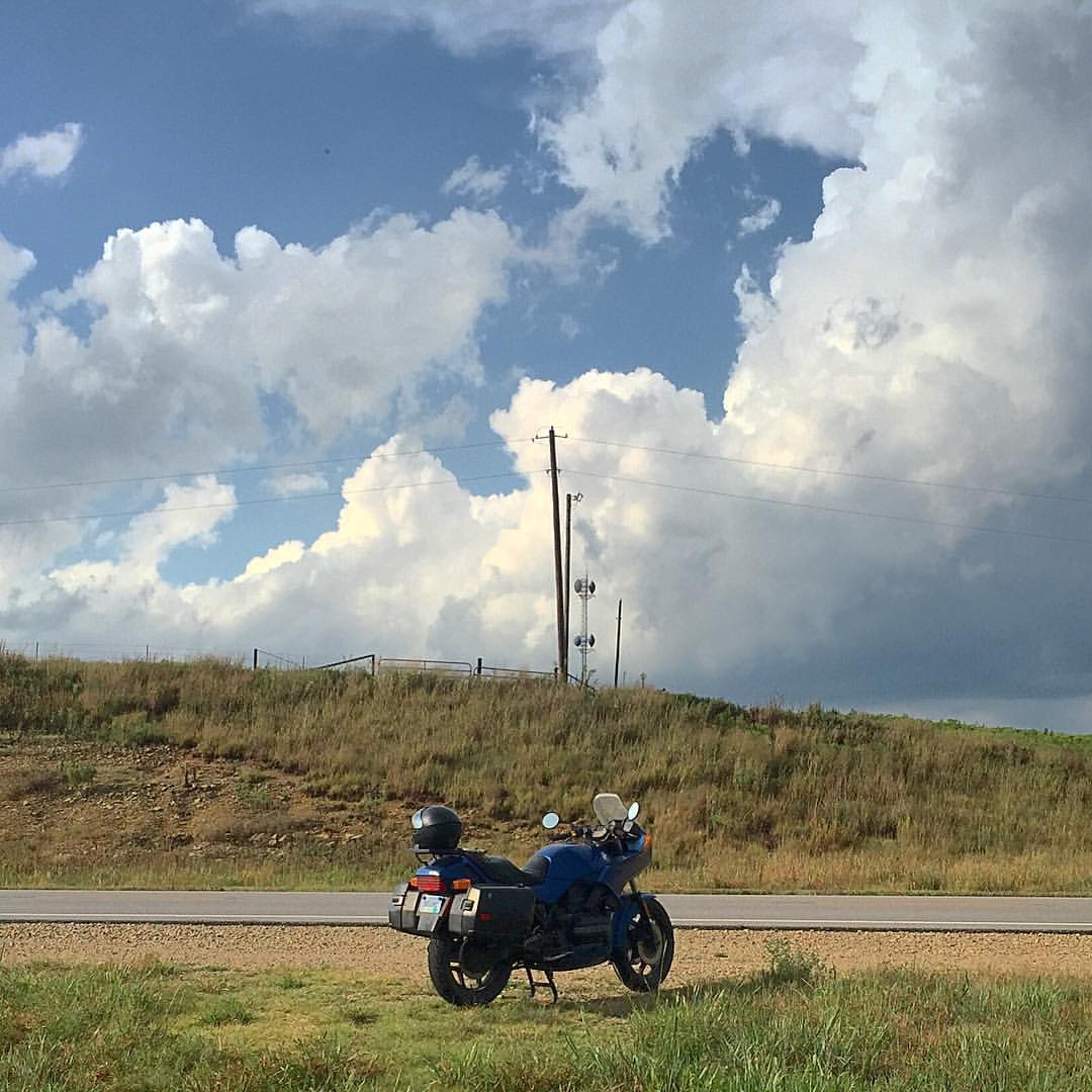
Moto in the Great Plains
Topographic Map of Florence, KS, USA
Find elevation by address:

Places in Florence, KS, USA:
Places near Florence, KS, USA:
W 7th St, Florence, KS, USA
Centre
Milton
1051 E Lawrence St
Marion
416 E Main St
300 Santa Fe
Broadway St, Burns, KS, USA
Burns
Clements
Unicorn Rd, Lincolnville, KS, USA
Clear Creek
Kansas St, Lincolnville, KS, USA
Lincolnville
NW Trumbell Rd, Burns, KS, USA
Lincoln
Burdick
8, KS, USA
Chase County
Cassoday
Recent Searches:
- Elevation of Corso Fratelli Cairoli, 35, Macerata MC, Italy
- Elevation of Tallevast Rd, Sarasota, FL, USA
- Elevation of 4th St E, Sonoma, CA, USA
- Elevation of Black Hollow Rd, Pennsdale, PA, USA
- Elevation of Oakland Ave, Williamsport, PA, USA
- Elevation of Pedrógão Grande, Portugal
- Elevation of Klee Dr, Martinsburg, WV, USA
- Elevation of Via Roma, Pieranica CR, Italy
- Elevation of Tavkvetili Mountain, Georgia
- Elevation of Hartfords Bluff Cir, Mt Pleasant, SC, USA