Elevation of Stringtown Road, Stringtown Rd, Astoria, OR, USA

Location: United States > Oregon > Clatsop County > Astoria >

Longitude: -123.56761

Latitude: 46.172454

Elevation: 19m / 62feet

Barometric Pressure: 101KPa

Elevation Map:

elevation map of Stringtown Road, Stringtown Rd, Astoria, OR, USA

Satellite Map:

Satellite map of Stringtown Road, Stringtown Rd, Astoria, OR, USA
Related Photos:

altoona wa lower columbia river abandoned piling boiler
_DSC5894 (4) N.W. View
oregon watershed clatsopcounty clatsopstateforest lowercolumbia columbiaview nicolaiwickiupwatershed columbiaviewroad
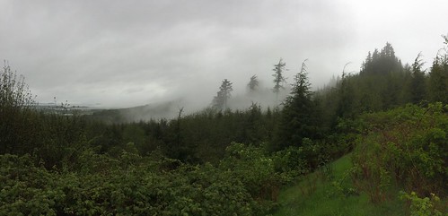
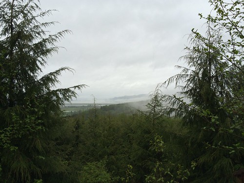
Looking west from Columbia View Road
oregon garbage watershed jetski clatsopcounty clatsopstateforest lowercolumbia columbiaview nicolaiwickiupwatershed clatsopcountyforest columbiaviewroad
Jetski dumped in the woods
lewis clark nwr
View from the Columbia River onto Lewis & Clark NWR
family skamokawa
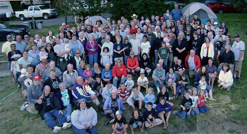
Hick-a-Mack Campout 2007
oregon garbage watershed clatsopcounty clatsopstateforest lowercolumbia columbiaview nicolaiwickiupwatershed columbiaviewroad
Trash dumped and burned
green work highway accident hwy windshield wreck emergency washingtonstate ems firedept firedepartment carwreck charter caraccident cathlamet wahkiakkumwahkiakkumcounty
view from my office window #1
oregon garbage watershed clatsopcounty clatsopstateforest lowercolumbia columbiaview nicolaiwickiupwatershed columbiaviewroad
TV and microwave
oregon garbage watershed clatsopcounty clatsopstateforest lowercolumbia columbiaview nicolaiwickiupwatershed columbiaviewroad
Small fire and garbage
oregon garbage watershed clatsopcounty clatsopstateforest lowercolumbia columbiaview nicolaiwickiupwatershed columbiaviewroad
Dumping in the forest
or astoria woodenboat sunk fishingboat panther raising lewisclarkexplorer
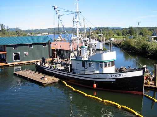
Panther 7 (floating again)
oregon watershed clatsopcounty clatsopstateforest lowercolumbia columbiaview nicolaiwickiupwatershed columbiaviewroad
Columbia View Road
road tree nature oregon dead slough 1000 lightroom gravelroad svensenisland or2009aug
20090809_3104...It's dead, Jim
oregon watershed clatsopcounty clatsopstateforest lowercolumbia columbiaview nicolaiwickiupwatershed columbiaviewroad
End of Columbia View Road
oregon watershed clatsopcounty clatsopstateforest lowercolumbia columbiaview nicolaiwickiupwatershed columbiaviewroad
Columbia River in the distance
sunset beach beautiful river washington columbiariver vistapark cathlamet skamokawa skamokawawa cathlametwa
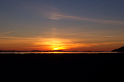
The Comet Sunset
or astoria woodenboat sunk fishingboat panther raising lewisclarkexplorer
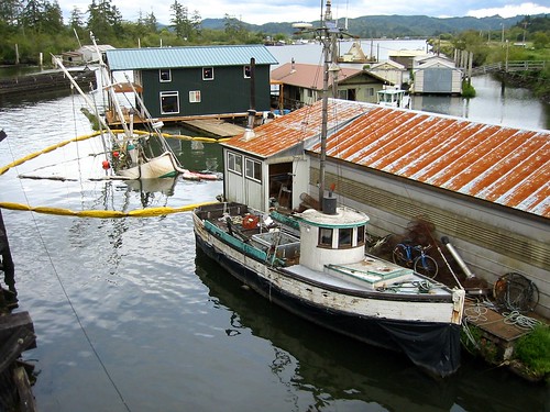
Panther 4
altoona wa lower columbia river abandoned piling boiler
_DSC5912 (2) S.W. View
or astoria woodenboat sunk fishingboat panther raising lewisclarkexplorer
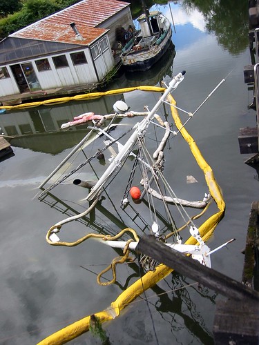
Panther 5
or astoria woodenboat sunk fishingboat panther raising lewisclarkexplorer
Panther 6
geotagged geo:lat=46202 geo:lon=123417166666667 geo:dir=2058
21328.jpg
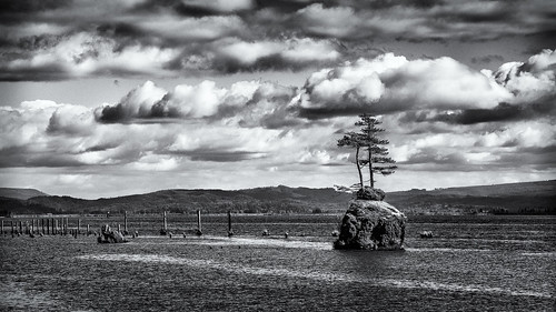
rock altoona wahkikumcounty landscape monochrome washington pilings blackandwhite marine columbiariver
Small Private Island
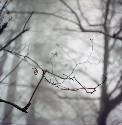
statepark 6x6 film oregon analog forest mediumformat landscape bokeh bare branches pacificnorthwest pentaconsixtl bluemooncamera zeissbiometar
The way it is written
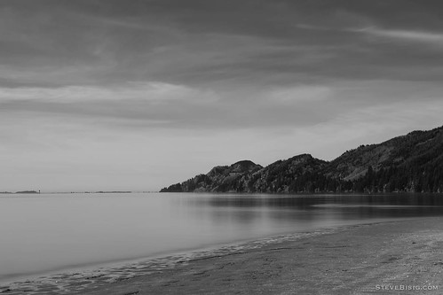
longexposure blackandwhite usa beach monochrome river washington unitedstates northwest columbiariver pacificnorthwest northamerica skamokawa
Beach, Columbia River, Skamokawa, Washington, 2014
blackandwhite usa tree monochrome rock river square landscape island washington unitedstates northwest scenic columbiariver northamerica altoona
Trees on a Rock Island, Columbia River, Washington, 2014
life county bw brown white black robert oregon canon ir 10d pixel infrared clatsop 2011 knappa lifepixel
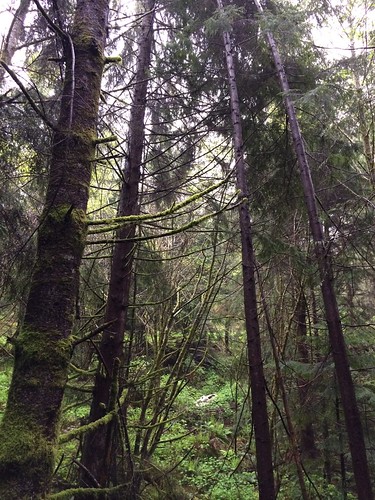
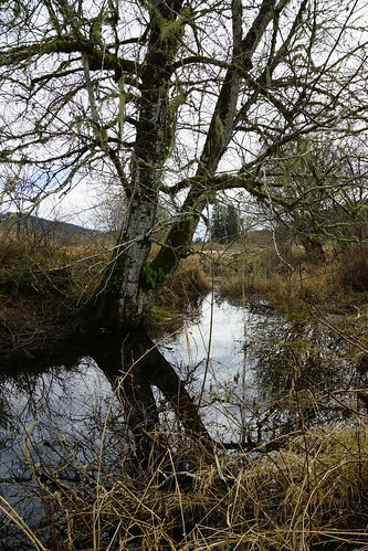
Alder Grove, Clatsop State Forest
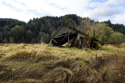
landscape washington sony shack alpha slt ssm a77 sooc 1650mm
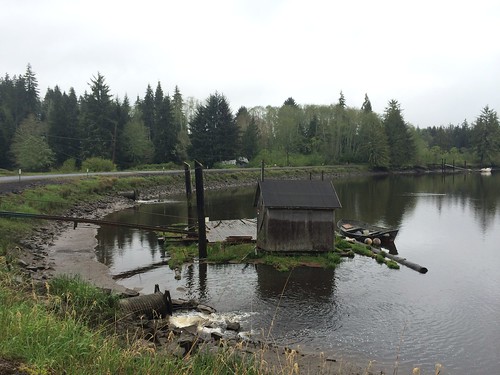
Shack at the West Fork Shamokawa Creek
puget island cathlamet wsdot bridge deck replacement repair osprey fencing construction columbiariver asphalt painting wahkiakum county tg
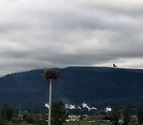
Osprey construction platform
columbiariver etatsunis oregon usa unitedstates unitedstatesofamerica fleuve river
US30, along the Columbia River
oregon aerial estuary wetlands oregoncoast imagery estuaries kingtides oregonwinterhightides
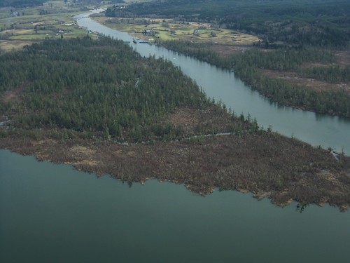
Blind Slough
oregon columbiariver hatchery fishfarm farmedsalmon brownsmead blindslough lowercolumbia nicolaiwickiupwatershed
Fish hatchery
panorama oregon clatsopcounty aldrichpoint
Aldrich Point top panorama
creek landscape washington sony alpha slt ssm a77 sooc 1650mm
West Fork Shamokawa Creek
oregon clatsopcounty aldrichpoint
Red alder on Aldrich Point
oregon watershed deadline bigcreek hatchery mainline clatsopcounty knappa lowercolumbia nicolaiwickiupwatershed bigcreekhatchery
Big Creek at hatchery
oregon watershed bigcreek clatsopcounty knappa lowercolumbia nicolaiwickiupwatershed bigcreekhatchery
Big Creek fishing hole
oregon columbiariver svensenisland lowercolumbia nicolaiwickiupwatershed
Svensen Island
oregon brownsmead blindslough lowercolumbia nicolaiwickiupwatershed
Blind Slough
oregon aerial estuary wetlands oregoncoast imagery estuaries kingtides oregonwinterhightides
Woody Island Columbia River
oregon watershed bigcreek clatsopcounty knappa lowercolumbia nicolaiwickiupwatershed bigcreekhatchery
Big Creek Hatchery garbage
oregon watershed perched culvert johndayriver clatsopcounty tidegate lowercolumbia nicolaiwickiupwatershed
John Day River tide gate