Elevation of WA-4, Cathlamet, WA, USA
Location: United States > Washington > Wahkiakum County > Cathlamet >
Longitude: -123.37319
Latitude: 46.2000244
Elevation: 53m / 174feet
Barometric Pressure: 101KPa
Elevation Map:
Satellite Map:
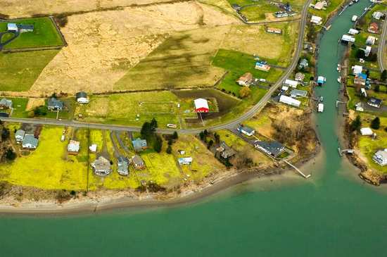
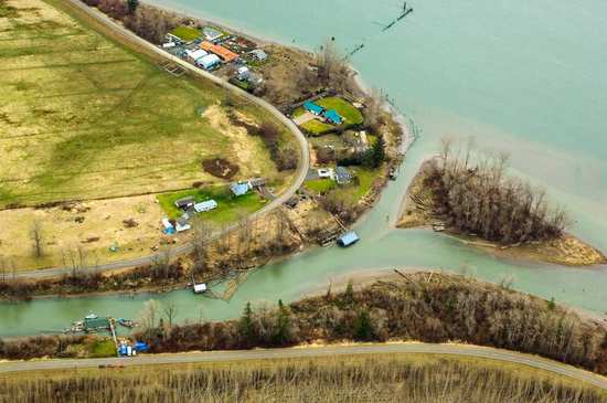
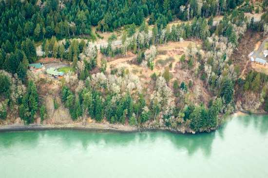
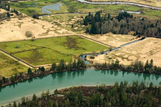
Related Photos:
21185.jpg
21304.jpg
21378.jpg
21103.jpg
21075.jpg
21325.jpg

21387.jpg
21151.jpg
21215.jpg
21335.jpg
21394.jpg
21135.jpg
21162.jpg
21085.jpg
21370.jpg
21380.jpg
21107.jpg
21241.jpg
21316.jpg
21129.jpg
21382.jpg

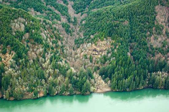
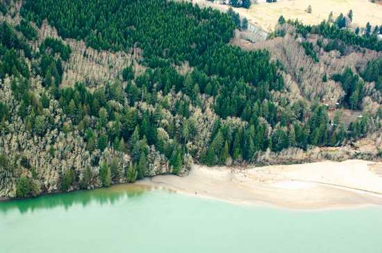
Trees to the Water

The way it is written
....
21221.jpg
last sunset as singles
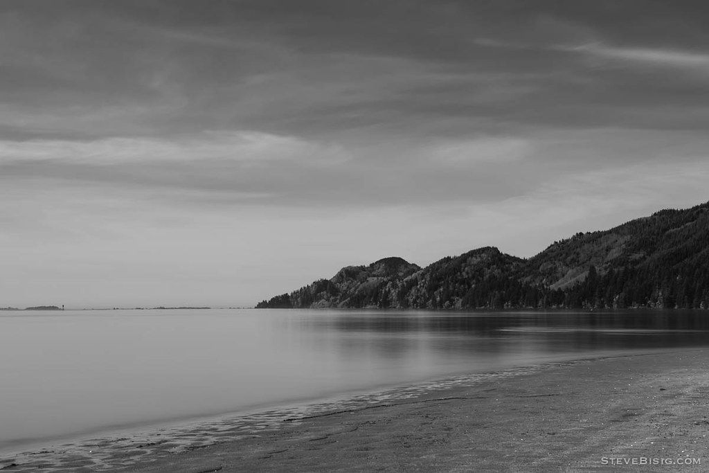
Beach, Columbia River, Skamokawa, Washington, 2014
21246.jpg
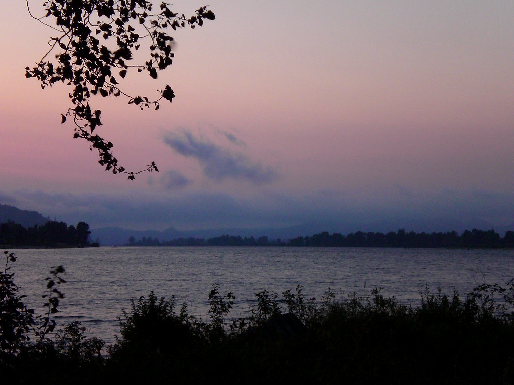
nearly sunset
21114.jpg
21319.jpg
21243.jpg
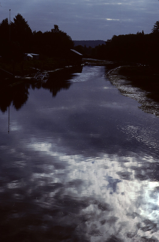
Dark Reflections
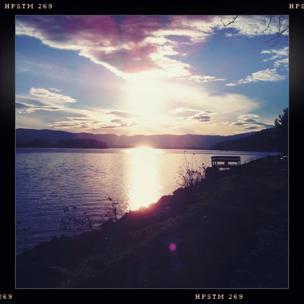
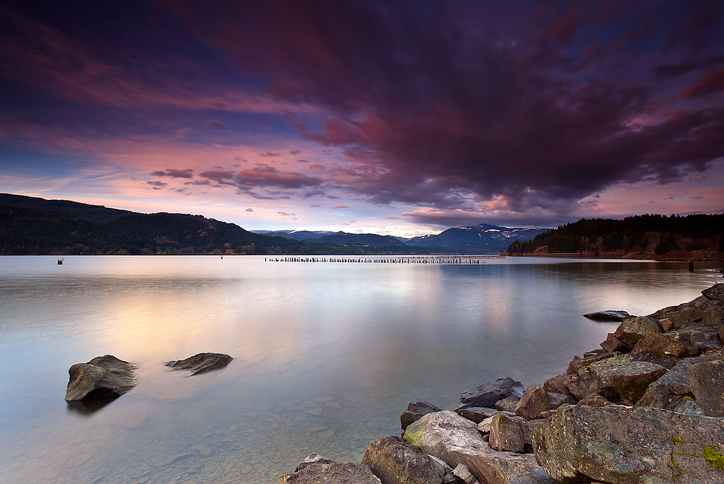
Columbia Sunset

Grassy-1
21261.jpg
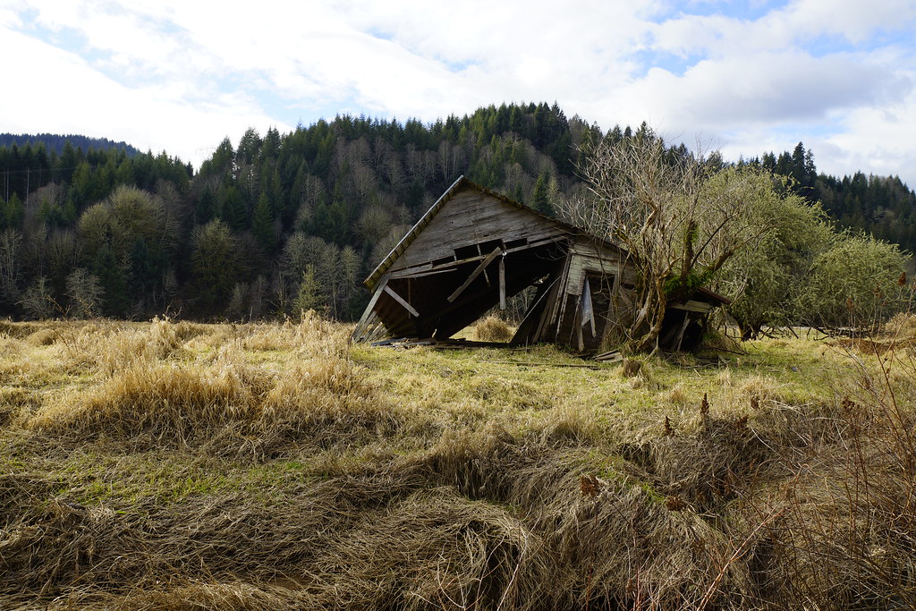
Shack at the West Fork Shamokawa Creek
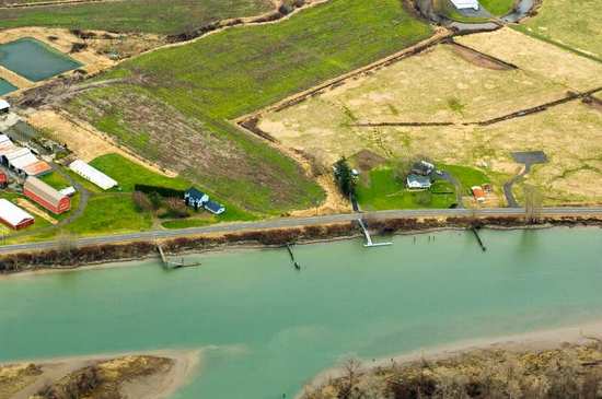
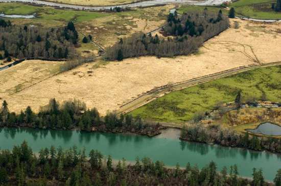
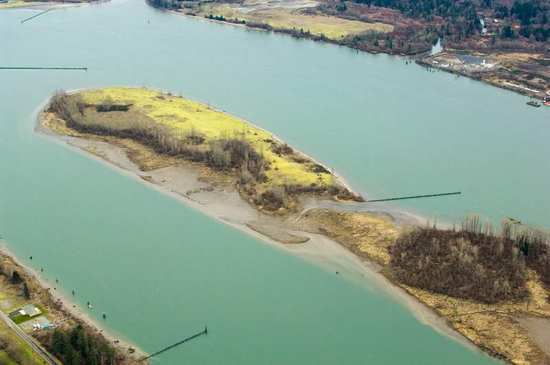
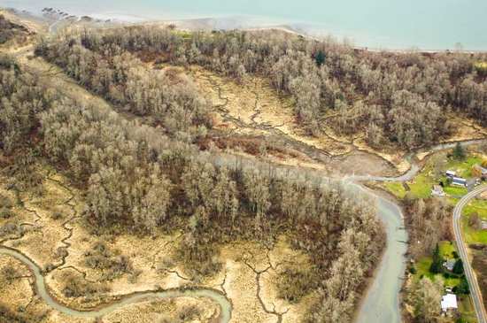
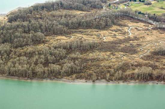
Wetland Area near Brownmeade, WA 002
fall off the stump

20140901-0756-00013-Morning JourneyAnd2morePhotoM

Columbia View Road
Topographic Map of WA-4, Cathlamet, WA, USA
Find elevation by address:

Places near WA-4, Cathlamet, WA, USA:
East Cathlamet
Cathlamet
99 Main St
16 Hillcrest Dr
Fern Hill Road
121 Fern Hill Rd
121 Fern Hill Rd
210 Fern Hill Rd
WA-, Cathlamet, WA, USA
100 Hodgson Rd
Erickson Dike Rd, Clatskanie, OR, USA
15910 Elliot Rd
231 Spruce Creek Rd
390 Spruce Creek Rd
720 Oak Point Rd
279 Mill Creek Rd
Cedar Hills Rd, Longview, WA, USA
351 Sw 4th St
625 Sw Tichenor St
Clatskanie
Recent Searches:
- Elevation of Corso Fratelli Cairoli, 35, Macerata MC, Italy
- Elevation of Tallevast Rd, Sarasota, FL, USA
- Elevation of 4th St E, Sonoma, CA, USA
- Elevation of Black Hollow Rd, Pennsdale, PA, USA
- Elevation of Oakland Ave, Williamsport, PA, USA
- Elevation of Pedrógão Grande, Portugal
- Elevation of Klee Dr, Martinsburg, WV, USA
- Elevation of Via Roma, Pieranica CR, Italy
- Elevation of Tavkvetili Mountain, Georgia
- Elevation of Hartfords Bluff Cir, Mt Pleasant, SC, USA