Elevation of 16 Hillcrest Dr, Cathlamet, WA, USA
Location: United States > Washington > Wahkiakum County > Cathlamet >
Longitude: -123.36239
Latitude: 46.2018379
Elevation: 132m / 433feet
Barometric Pressure: 100KPa
Elevation Map:
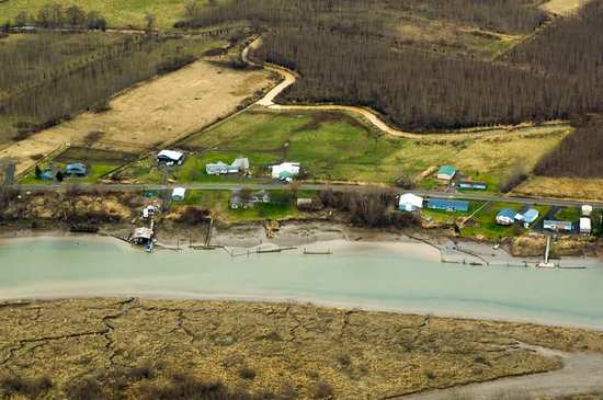
Satellite Map:
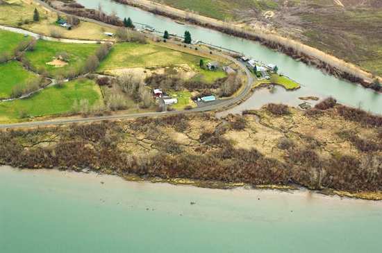
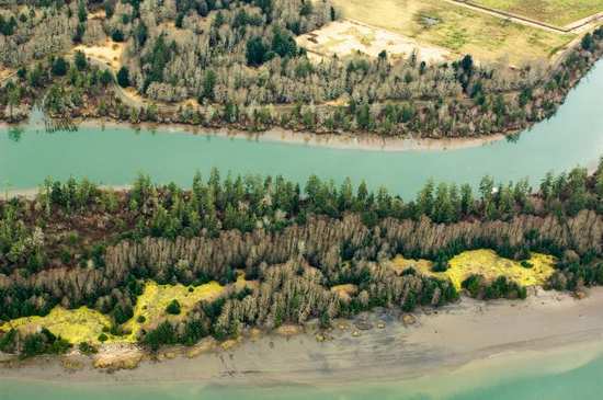
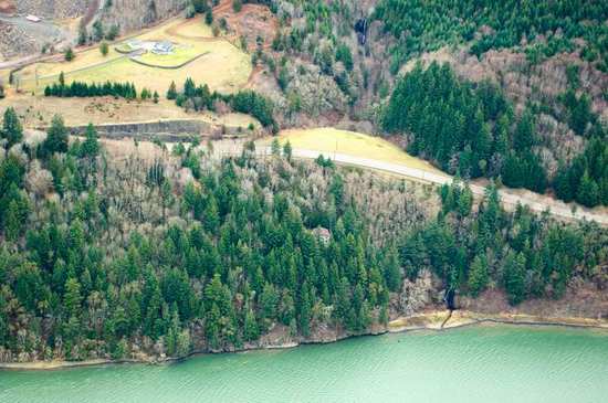
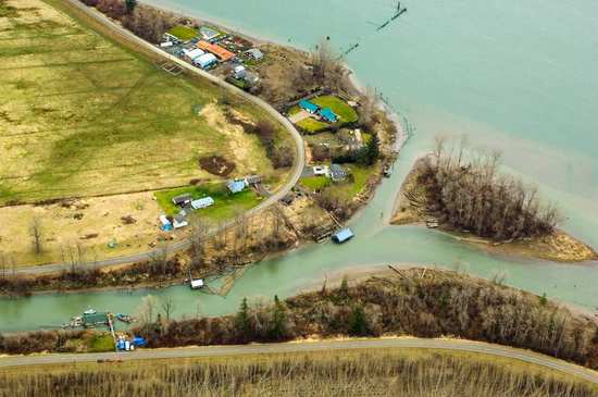
Related Photos:

21376.jpg
21279.jpg
21377.jpg

21357.jpg
21248.jpg
21079.jpg

21359.jpg
21344.jpg
21116.jpg
21092.jpg
21102.jpg
21345.jpg

21347.jpg
21362.jpg
21115.jpg
21272.jpg
21285.jpg
21100.jpg
21346.jpg
21304.jpg
21386.jpg

The way it is written

....
21221.jpg

21113.jpg

last sunset as singles

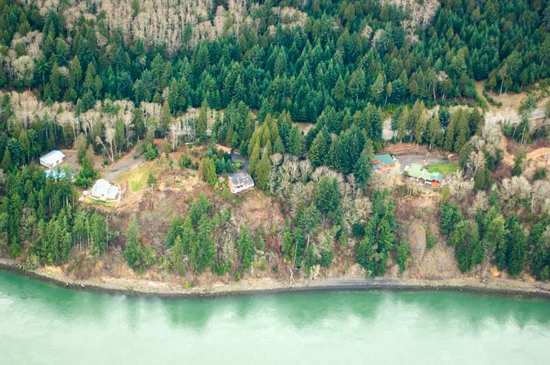
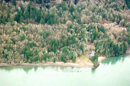
Trees to the Water
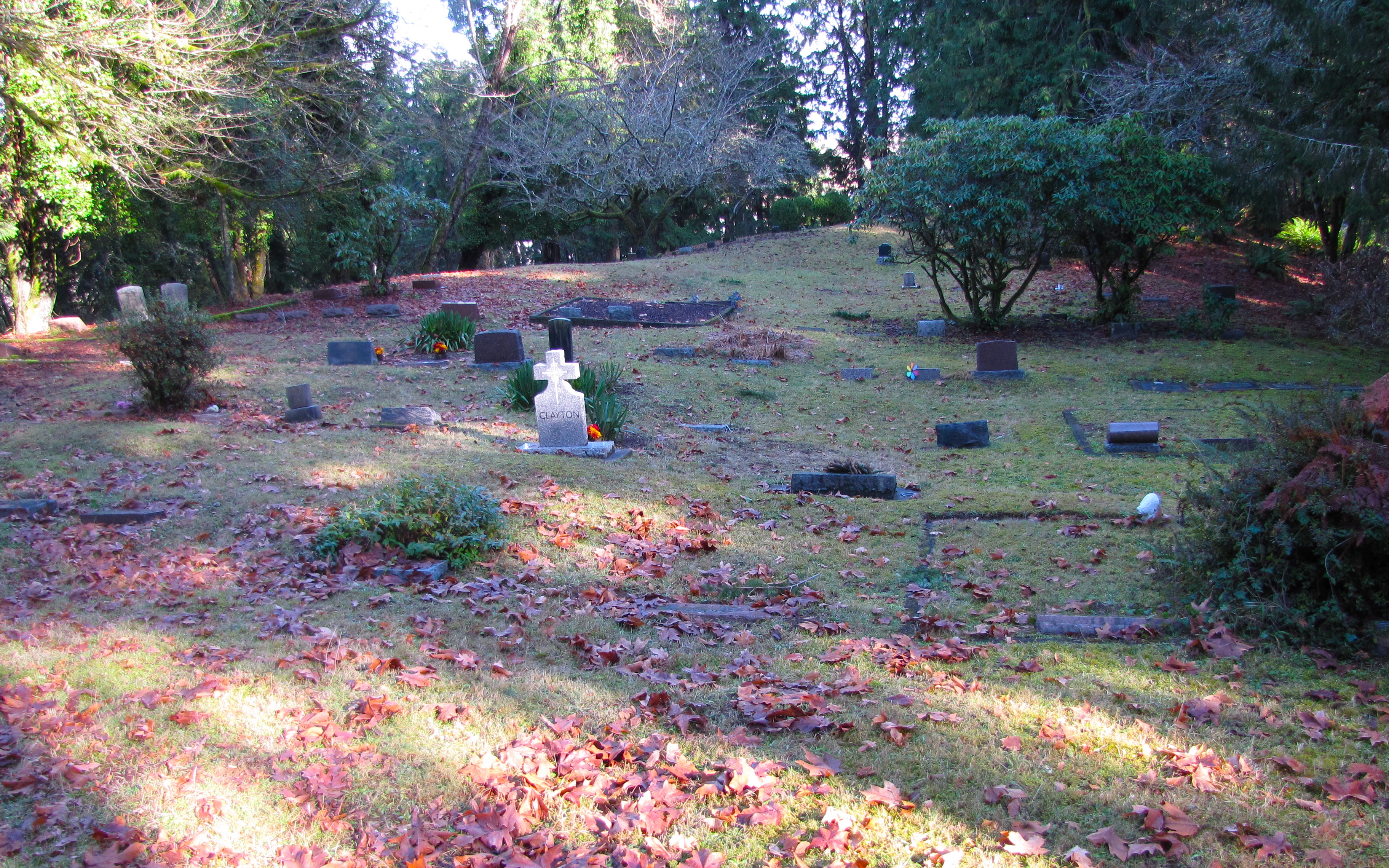
westport cemetery
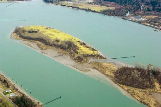
Aldrich Point top panorama
Beach, Columbia River, Skamokawa, Washington, 2014
21246.jpg
21107.jpg
nearly sunset
21114.jpg
21319.jpg

Dark Reflections
21243.jpg
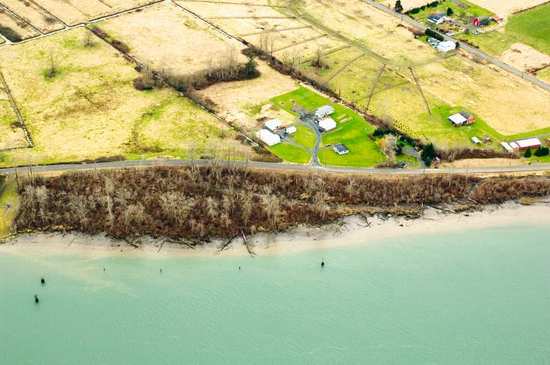
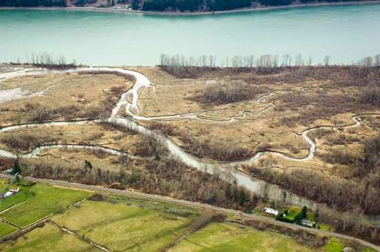
West Fork Shamokawa Creek
21268.jpg
Topographic Map of 16 Hillcrest Dr, Cathlamet, WA, USA
Find elevation by address:

Places near 16 Hillcrest Dr, Cathlamet, WA, USA:
East Cathlamet
Fern Hill Road
220 Wa-4
121 Fern Hill Rd
121 Fern Hill Rd
210 Fern Hill Rd
Cathlamet
99 Main St
WA-, Cathlamet, WA, USA
100 Hodgson Rd
Erickson Dike Rd, Clatskanie, OR, USA
15910 Elliot Rd
231 Spruce Creek Rd
390 Spruce Creek Rd
720 Oak Point Rd
279 Mill Creek Rd
Cedar Hills Rd, Longview, WA, USA
351 Sw 4th St
625 Sw Tichenor St
Clatskanie
Recent Searches:
- Elevation of Corso Fratelli Cairoli, 35, Macerata MC, Italy
- Elevation of Tallevast Rd, Sarasota, FL, USA
- Elevation of 4th St E, Sonoma, CA, USA
- Elevation of Black Hollow Rd, Pennsdale, PA, USA
- Elevation of Oakland Ave, Williamsport, PA, USA
- Elevation of Pedrógão Grande, Portugal
- Elevation of Klee Dr, Martinsburg, WV, USA
- Elevation of Via Roma, Pieranica CR, Italy
- Elevation of Tavkvetili Mountain, Georgia
- Elevation of Hartfords Bluff Cir, Mt Pleasant, SC, USA