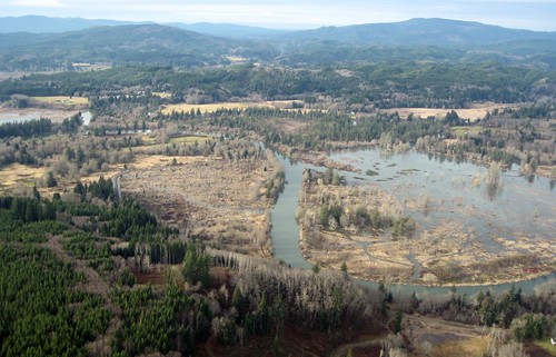
Elevation of Grays River, WA, USA
Location: United States > Washington > Wahkiakum County >

Longitude: -123.60931

Latitude: 46.3562176

Elevation: 7m / 23feet

Barometric Pressure: 101KPa

Elevation Map:

elevation map of Grays River, WA, USA
Satellite Map:

Satellite map of Grays River, WA, USA

Related Photos:

geotagged geo:dir=1498 geo:lat=463136666666667 geo:lon=123676833333333
21000.jpg
geotagged geo:lon=1236955 geo:lat=463265
20918.jpg
geotagged geo:lon=123695666666667 geo:dir=828 geo:lat=463296666666667
20939.jpg
geotagged geo:dir=72 geo:lat=462655 geo:lon=123638
21030.jpg
geotagged geo:lat=462741666666667 geo:dir=3527 geo:lon=1234935
21079.jpg
geotagged geo:lat=463126666666667 geo:lon=123713 geo:dir=1349
20958.jpg
geotagged geo:dir=268 geo:lat=463733333333333 geo:lon=1238055
19603.jpg
geotagged geo:lat=463136666666667 geo:lon=123700833333333 geo:dir=1514
20948.jpg
geotagged geo:lat=463278333333333 geo:lon=123639333333333 geo:dir=3282
20973.jpg
geotagged geo:lat=462823333333333 geo:dir=257 geo:lon=123788
20867.jpg
geotagged geo:lat=463123333333333 geo:lon=123704 geo:dir=1499
20949.jpg
geotagged geo:dir=779 geo:lat=463271666666667 geo:lon=123706833333333
20914.jpg
geotagged geo:lat=462616666666667 geo:lon=123602666666667 geo:dir=3591
21040.jpg
geotagged geo:lat=463145 geo:lon=1237125 geo:dir=2871
20911.jpg
geotagged geo:lat=462706666666667 geo:lon=123459 geo:dir=2292
21092.jpg
geotagged geo:lat=462613333333333 geo:lon=123567333333333 geo:dir=3558
21050.jpg
geotagged geo:lat=46317 geo:lon=123706666666667 geo:dir=2398
20955.jpg
geotagged geo:lat=462613333333333 geo:lon=123568333333333 geo:dir=356
21051.jpg
geotagged geo:lat=462665 geo:lon=123554333333333 geo:dir=2163
21059.jpg
geotagged geo:dir=17 geo:lat=46261 geo:lon=123596666666667
21042.jpg
geotagged geo:lat=462655 geo:lon=123642 geo:dir=51
21028.jpg
geotagged geo:dir=541 geo:lat=463101666666667 geo:lon=123710833333333
20960.jpg
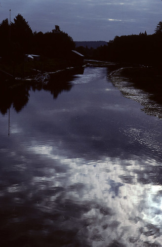
kodachrome kodachrome64 pentaxkx pentaxk5518
Dark Reflections
rock altoona wahkikumcounty landscape monochrome washington pilings blackandwhite marine columbiariver
Small Private Island
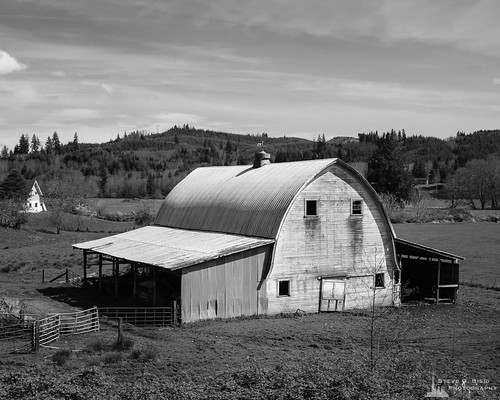
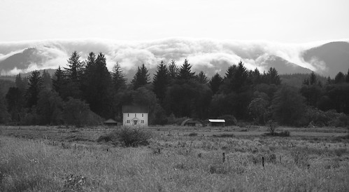
blackandwhite usa monochrome barn rural landscape washington unitedstates northwest farm farming pacificnorthwest northamerica rosburg wahkiakumcounty
Old Barn, Rosburg, Washington, 2014
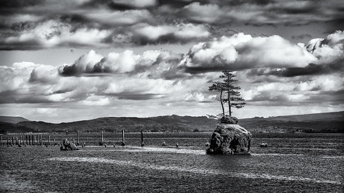
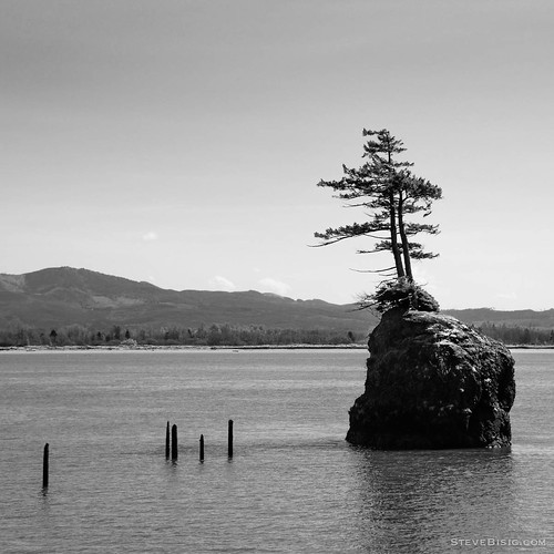
blackandwhite usa tree monochrome rock river square landscape island washington unitedstates northwest scenic columbiariver northamerica altoona
Trees on a Rock Island, Columbia River, Washington, 2014
geotagged geo:lat=46353 geo:lon=1236875 geo:dir=3148
20930.jpg
geotagged geo:dir=3291 geo:lon=123811333333333 geo:lat=463711666666667
17887.jpg
geotagged geo:lat=463035 geo:lon=1236855 geo:dir=1267
21003.jpg
geotagged geo:dir=165 geo:lat=463206666666667 geo:lon=123648166666667
20991.jpg
geotagged geo:lon=123695 geo:lat=463233333333333 geo:dir=536
20941.jpg
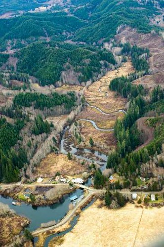
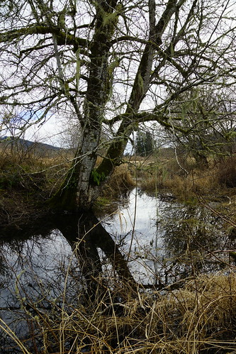
creek landscape washington sony alpha slt ssm a77 sooc 1650mm
West Fork Shamokawa Creek
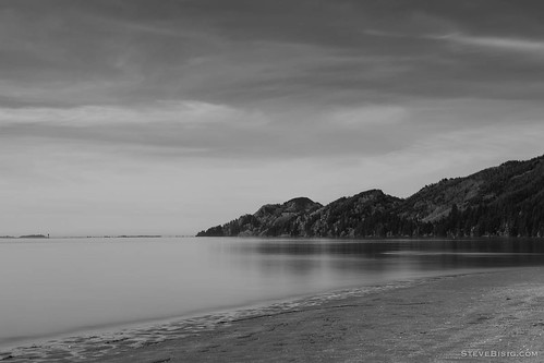
longexposure blackandwhite usa beach monochrome river washington unitedstates northwest columbiariver pacificnorthwest northamerica skamokawa
Beach, Columbia River, Skamokawa, Washington, 2014
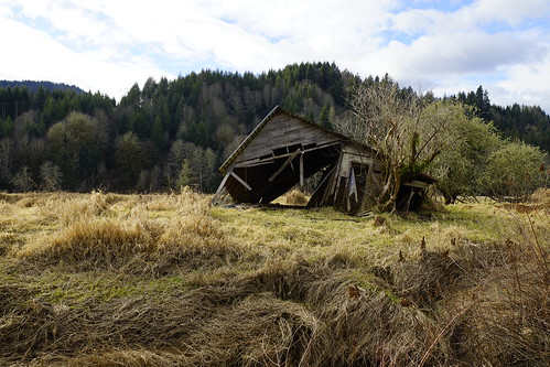
landscape washington sony shack alpha slt ssm a77 sooc 1650mm
Shack at the West Fork Shamokawa Creek
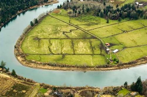
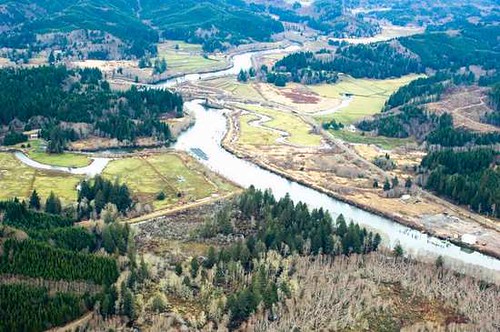
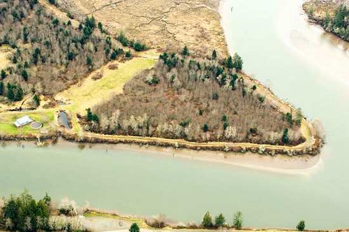
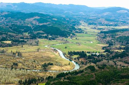
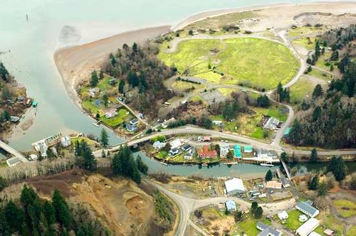
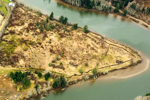
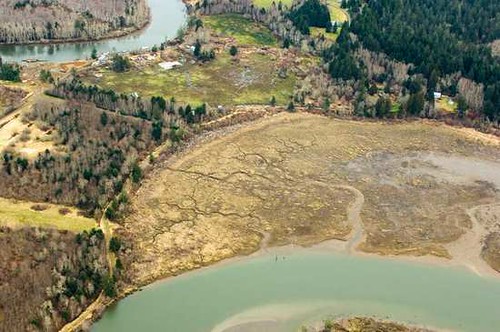
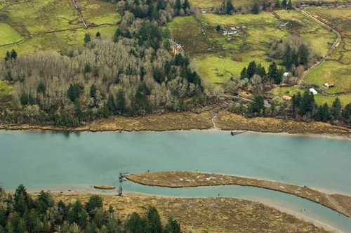
oregon aerial estuary wetlands oregoncoast imagery estuaries kingtides oregonwinterhightides
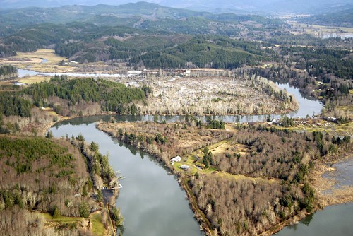
Grays River
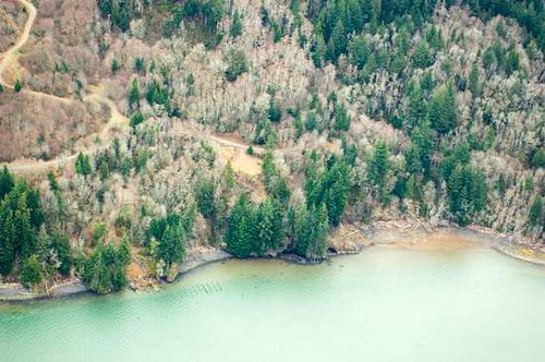
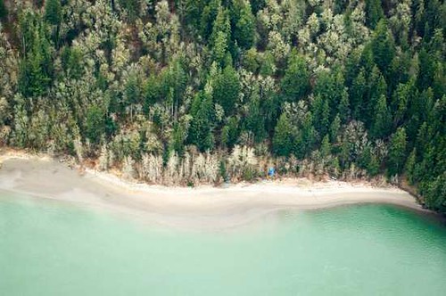
lewisandclark columbiariver lewisandclarknationalwildliferefuge pinetree sunrise landscape sunset water astoria orskamokawawashingtonunitedstatesus
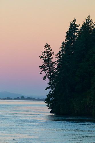
Trees to the Water
grass landscape washington bluewater skamokawa
Grassy-1
20140915-23533604
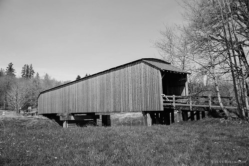
bridge blackandwhite usa monochrome washington unitedstates northwest pacificnorthwest coveredbridge northamerica graysriver
The Gray's River Covered Bridge, Washington, 2014
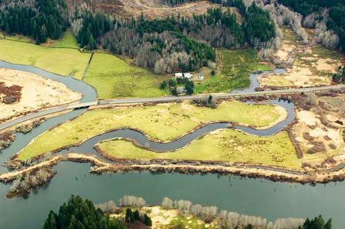
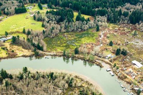
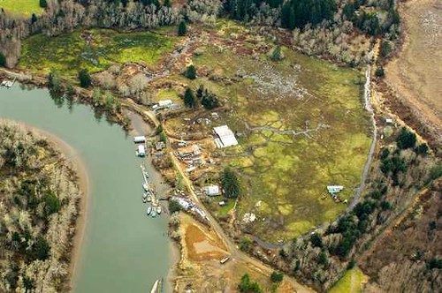
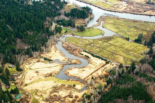
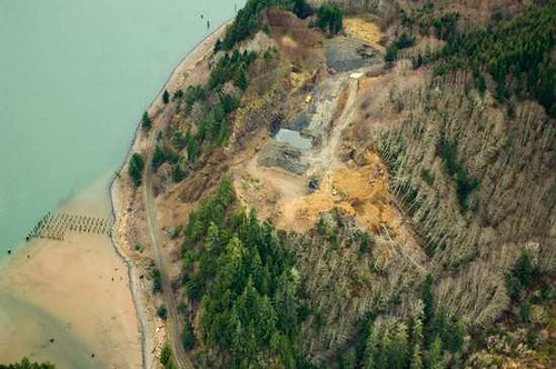
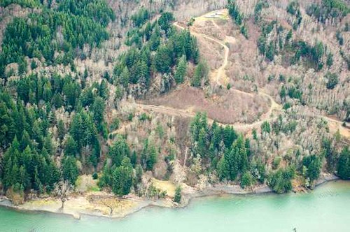
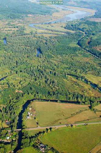
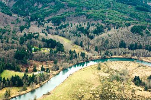
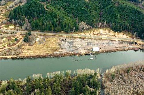
oregon aerial estuary wetlands oregoncoast imagery estuaries kingtides oregonwinterhightides
Grays River