Elevation of Loop Rd, Grays River, WA, USA
Location: United States > Washington > Wahkiakum County > Grays River >
Longitude: -123.58874
Latitude: 46.3515119
Elevation: 9m / 30feet
Barometric Pressure: 101KPa
Elevation Map:
Satellite Map:
Related Photos:
21028.jpg
20935.jpg
21103.jpg
21009.jpg
21000.jpg
20918.jpg
20939.jpg
21030.jpg
21079.jpg
20949.jpg

20914.jpg
21040.jpg
20911.jpg
21092.jpg
21102.jpg
20955.jpg
21051.jpg
21059.jpg
21042.jpg
20971.jpg
21100.jpg

20973.jpg

20948.jpg
20960.jpg
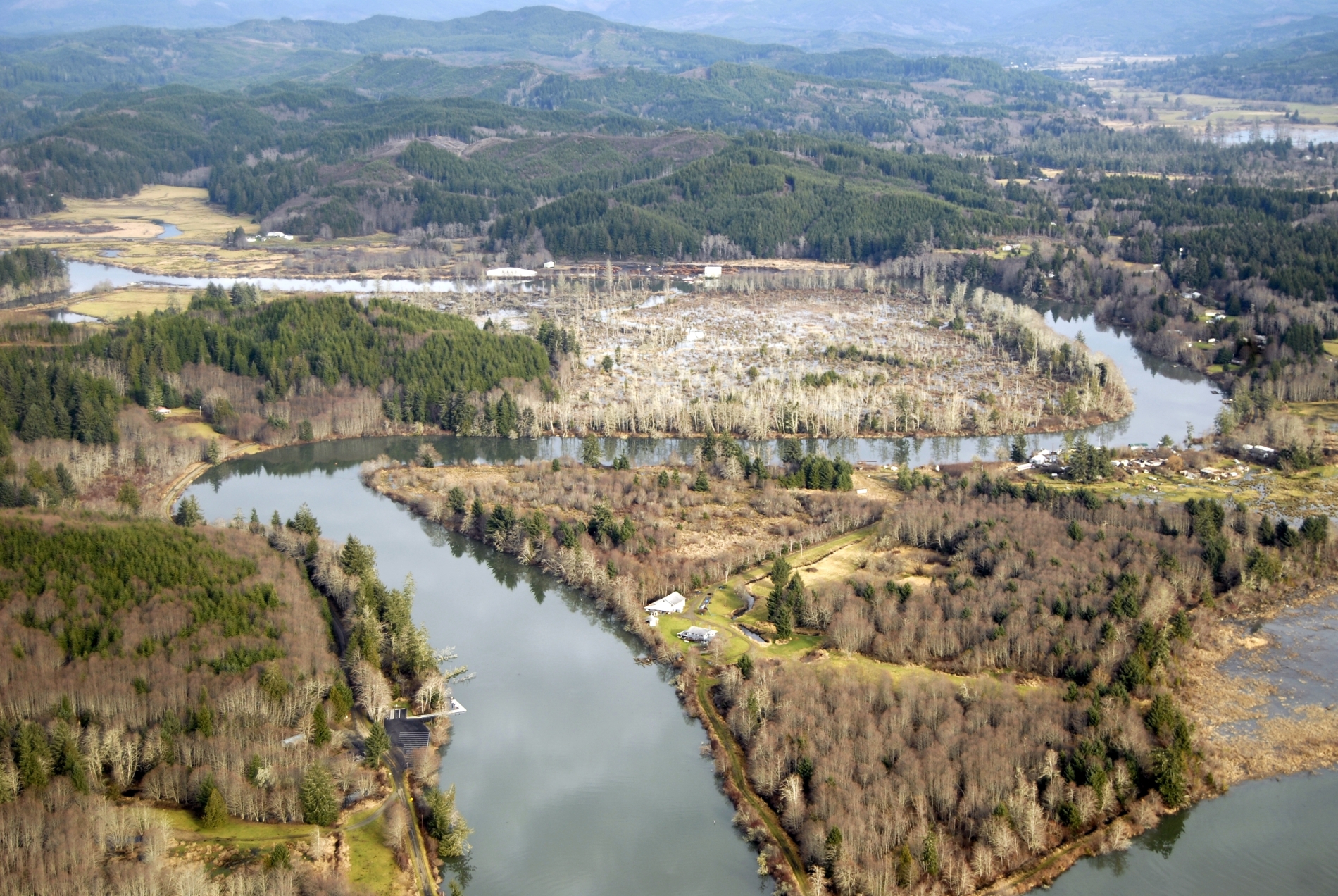
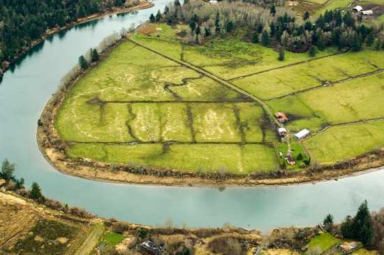
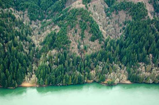
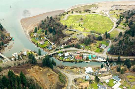
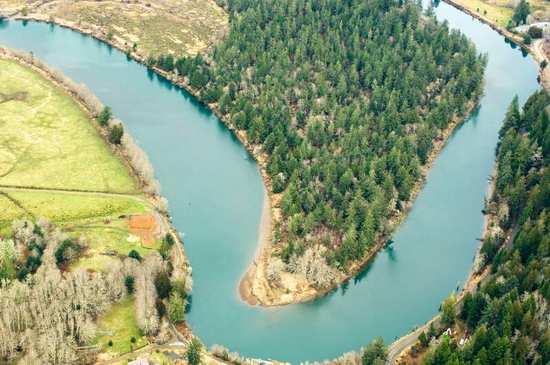
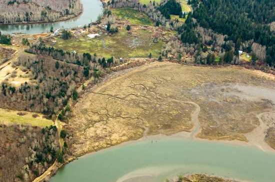
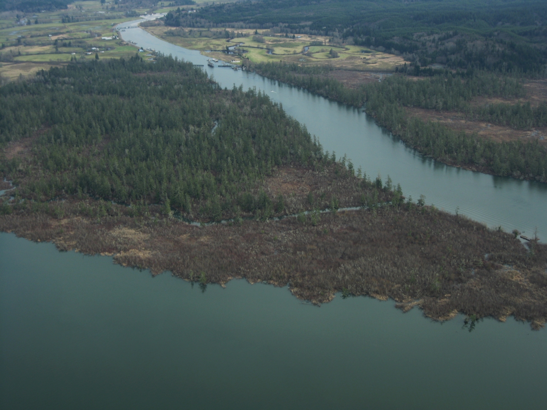
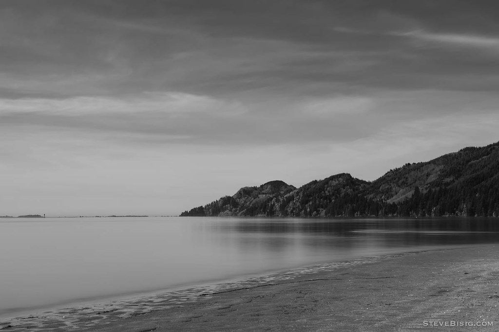
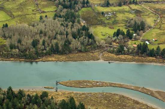
Grays River
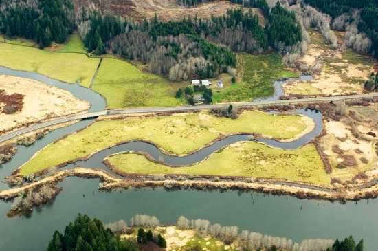
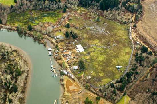
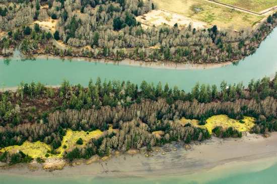
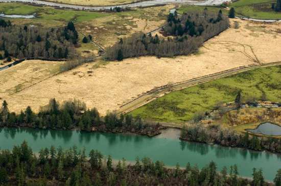
Blind Slough

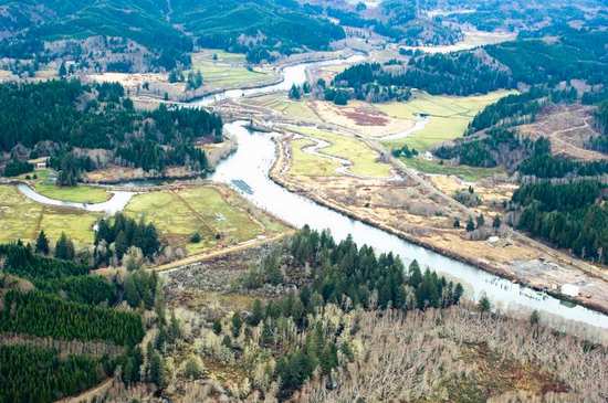
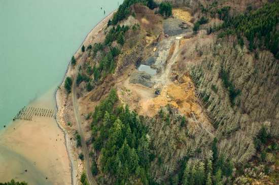
Grays River
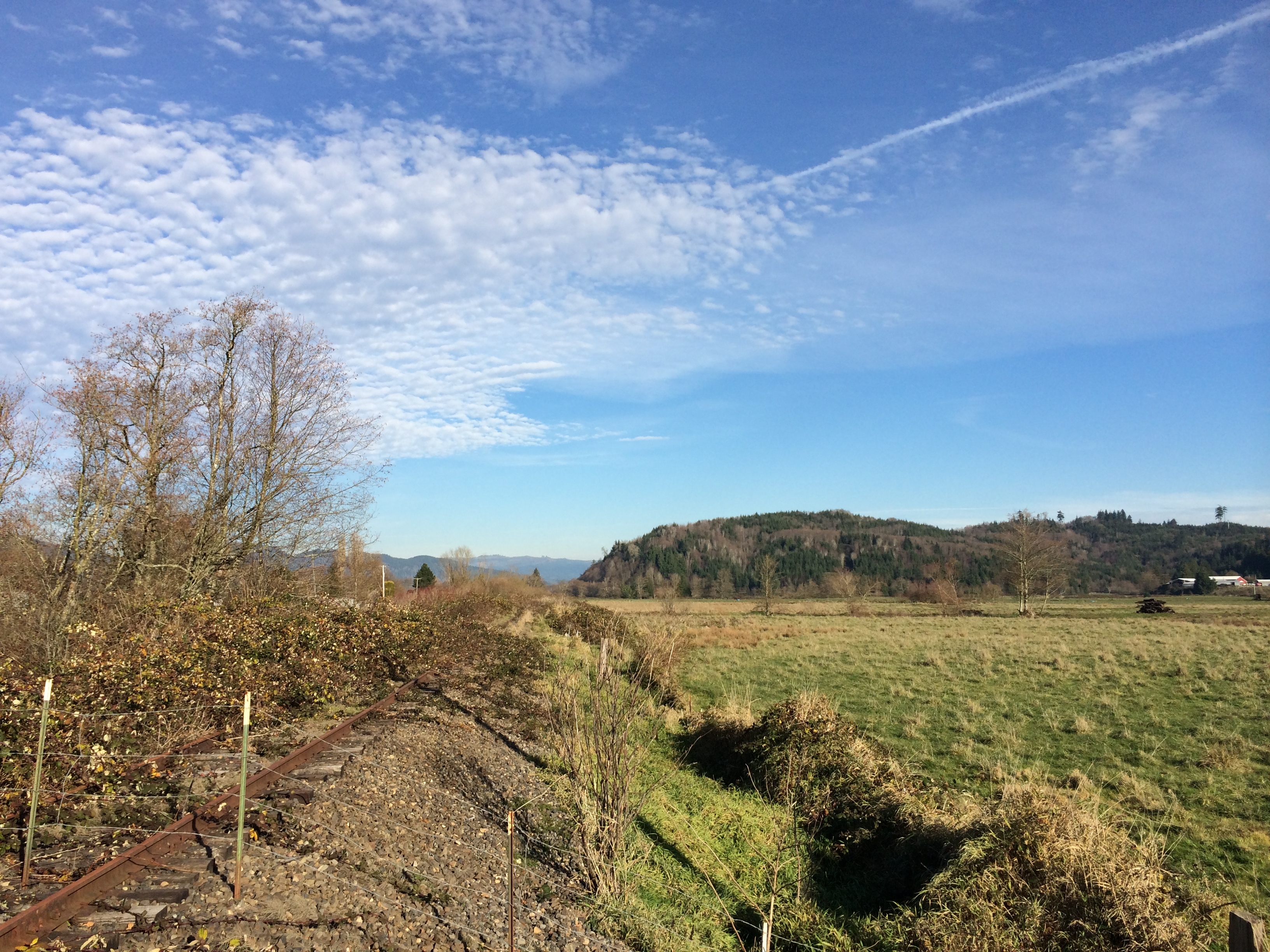
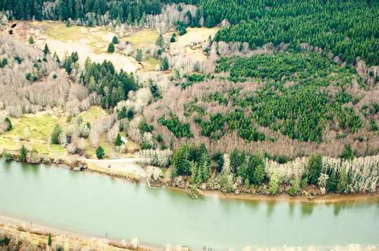
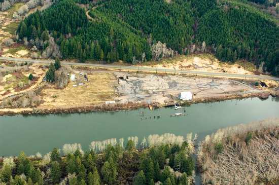
Hampton railroad tracks
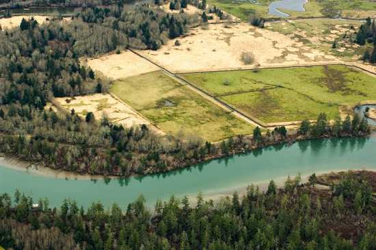
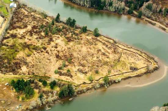
Small Private Island
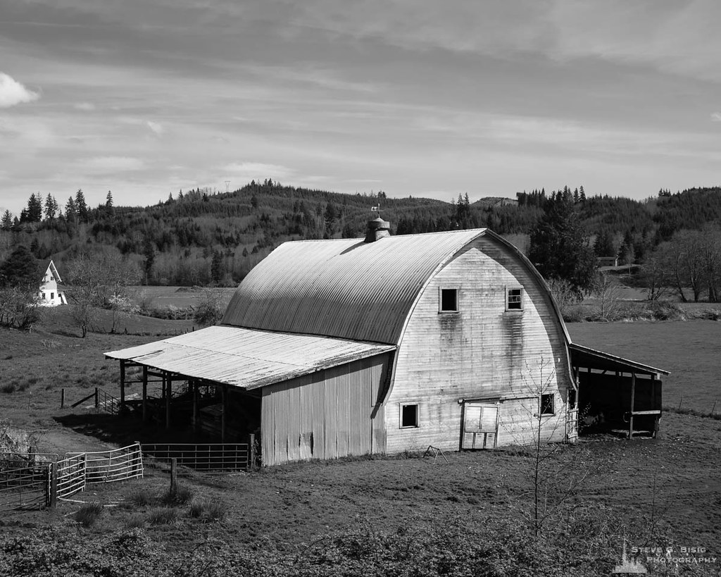
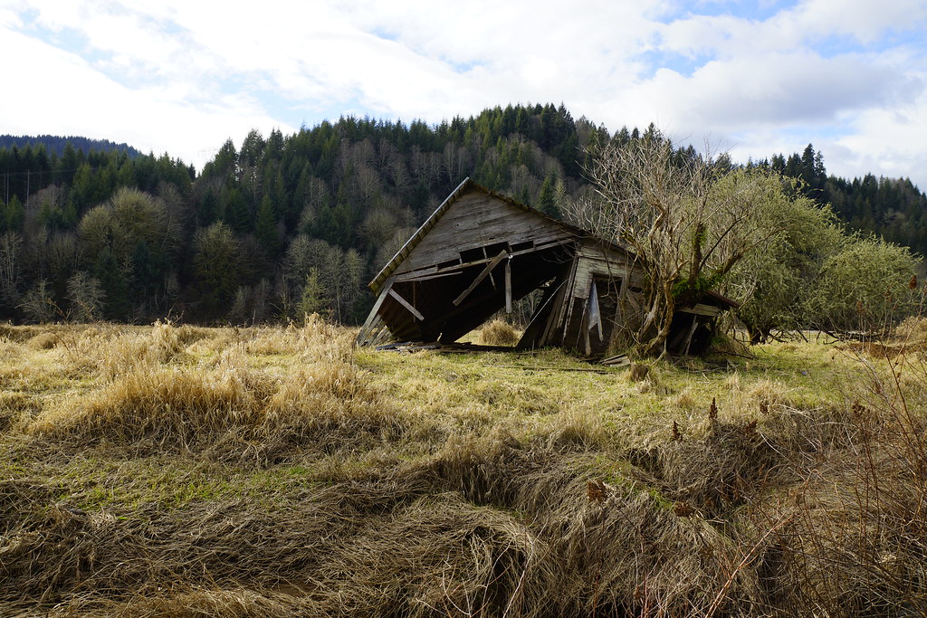
Old Barn, Rosburg, Washington, 2014
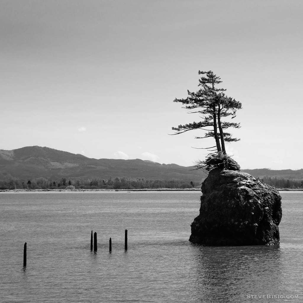
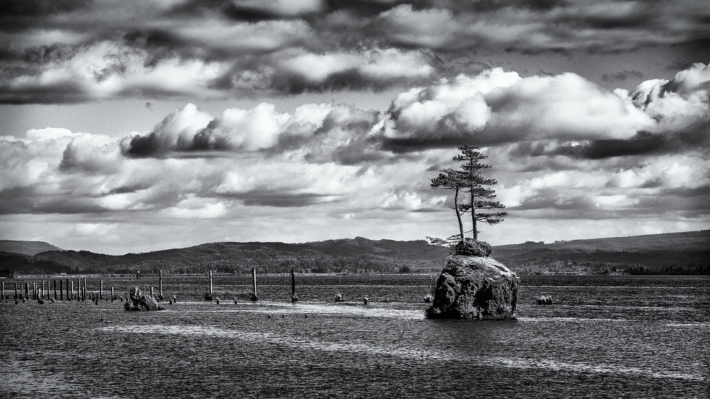
Trees on a Rock Island, Columbia River, Washington, 2014
20930.jpg
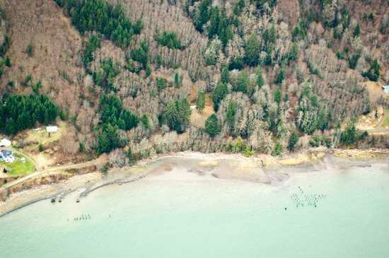
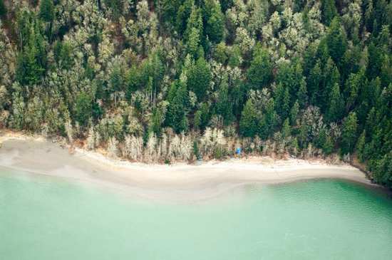
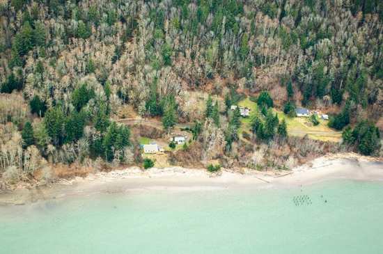
Beach, Columbia River, Skamokawa, Washington, 2014
21107.jpg
21003.jpg

20991.jpg
20941.jpg
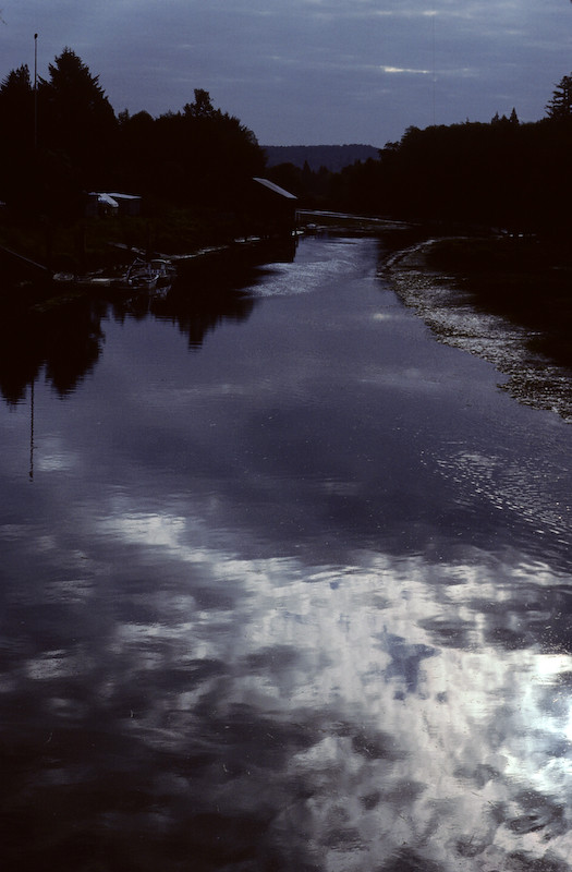
Dark Reflections
West Fork Shamokawa Creek
Shack at the West Fork Shamokawa Creek

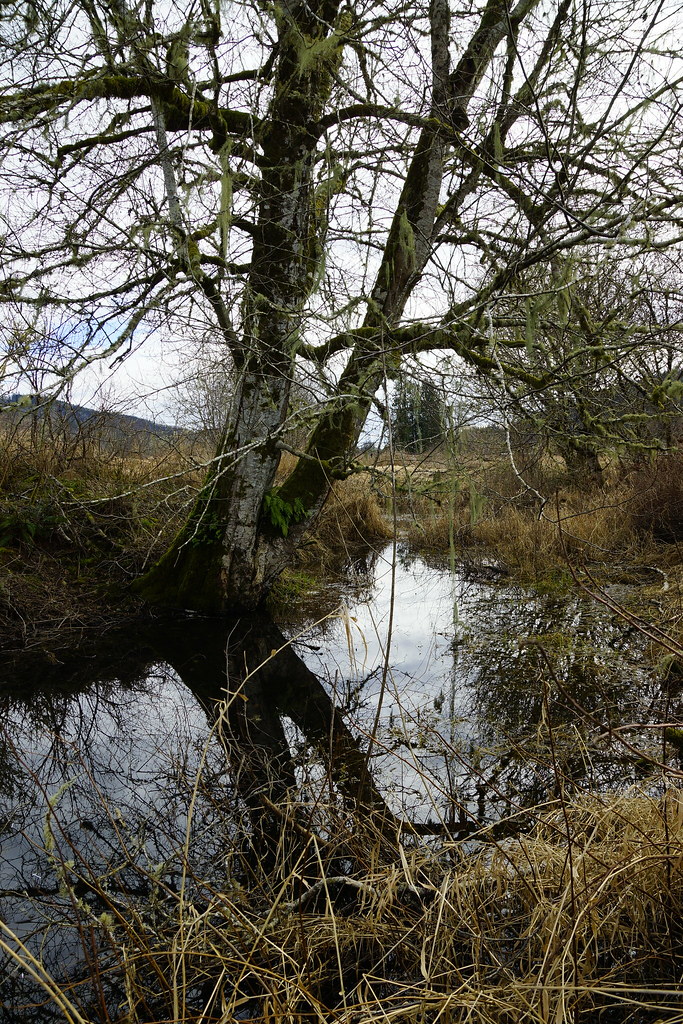
Trees to the Water

Grassy-1
Topographic Map of Loop Rd, Grays River, WA, USA
Find elevation by address:

Places near Loop Rd, Grays River, WA, USA:
Grays River
Wahkiakum County
148 E Deep River Rd
273 Middle Valley Rd
Skamokawa Valley
Carl Johnson Lane
Stringtown Road
Valley Creek Lane & Stringtown Road
Clifton Rd, Clatskanie, OR, USA
92933 Keller Rd
Clifton Rd, Clatskanie, OR, USA
Hwy 30, Clatskanie, OR, USA
92672 Madison Rd
US-30, Astoria, OR, USA
Fern Hill Rd, Clatskanie, OR, USA
Cathlamet
99 Main St
220 Wa-4
East Cathlamet
16 Hillcrest Dr
Recent Searches:
- Elevation of Corso Fratelli Cairoli, 35, Macerata MC, Italy
- Elevation of Tallevast Rd, Sarasota, FL, USA
- Elevation of 4th St E, Sonoma, CA, USA
- Elevation of Black Hollow Rd, Pennsdale, PA, USA
- Elevation of Oakland Ave, Williamsport, PA, USA
- Elevation of Pedrógão Grande, Portugal
- Elevation of Klee Dr, Martinsburg, WV, USA
- Elevation of Via Roma, Pieranica CR, Italy
- Elevation of Tavkvetili Mountain, Georgia
- Elevation of Hartfords Bluff Cir, Mt Pleasant, SC, USA