Elevation of US-30, Astoria, OR, USA
Location: United States > Oregon > Clatsop County >
Longitude: -123.74908
Latitude: 46.179675
Elevation: 3m / 10feet
Barometric Pressure: 101KPa
Elevation Map:
Satellite Map:
Related Photos:
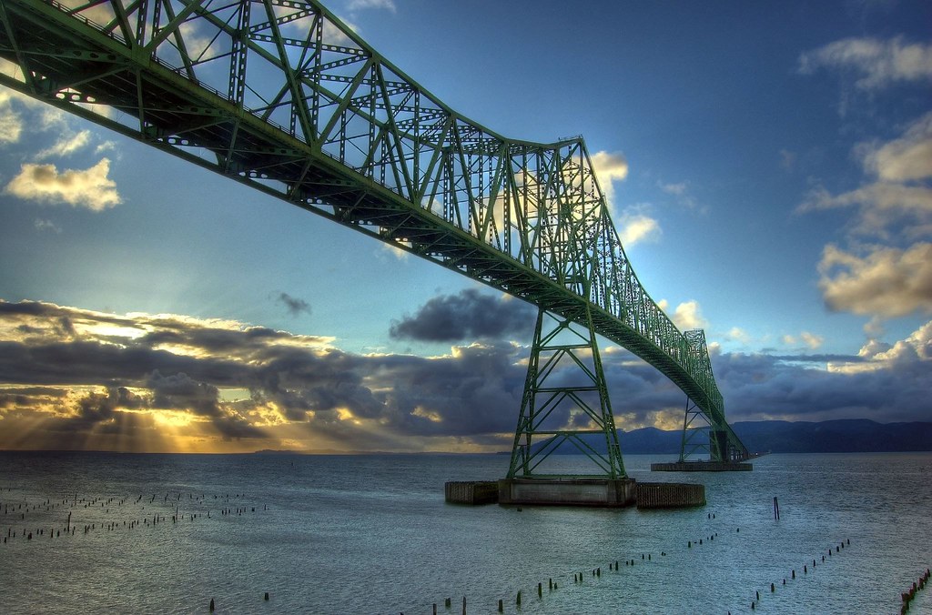
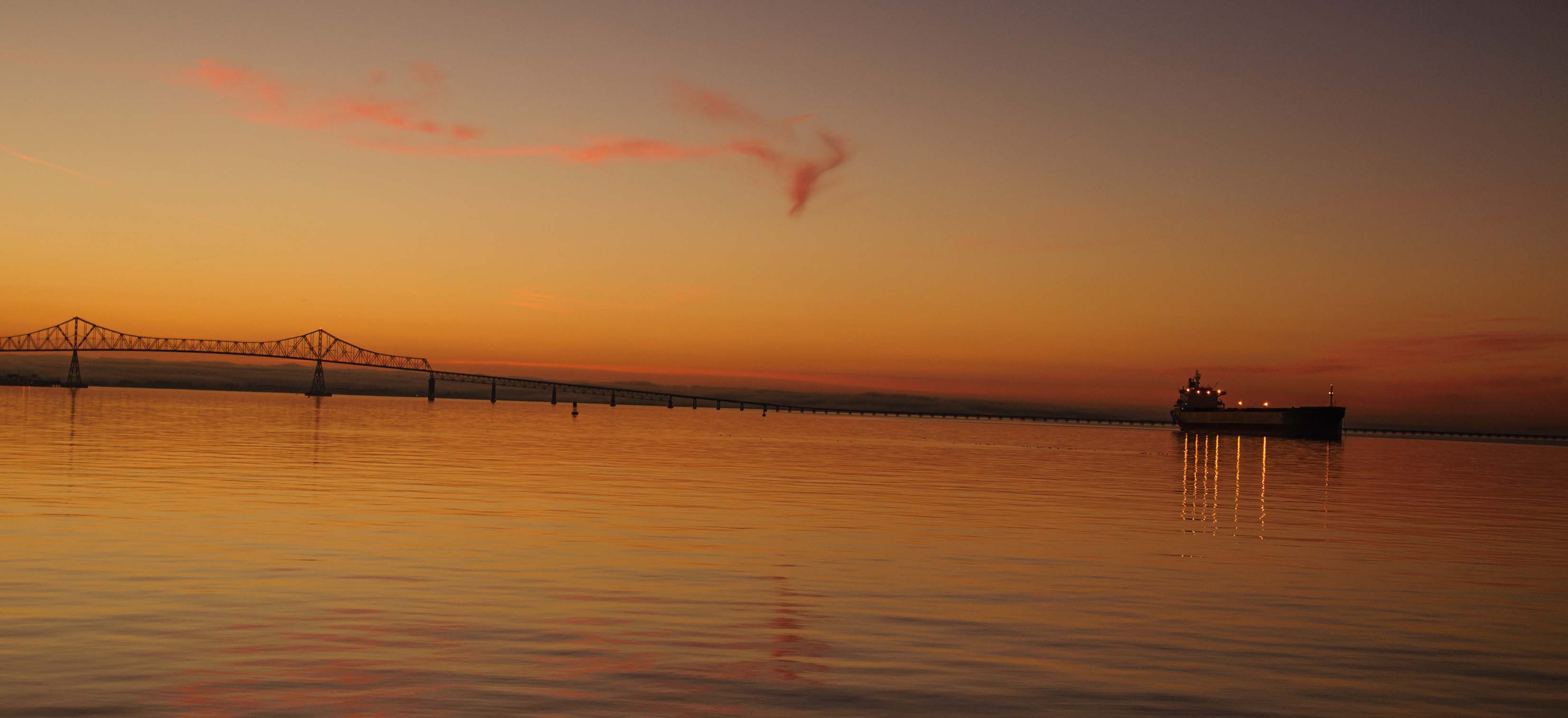
Astorian Sunset
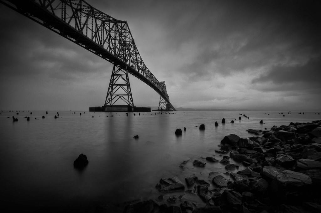
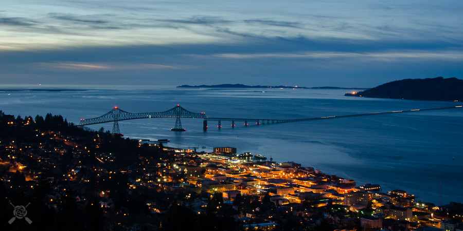
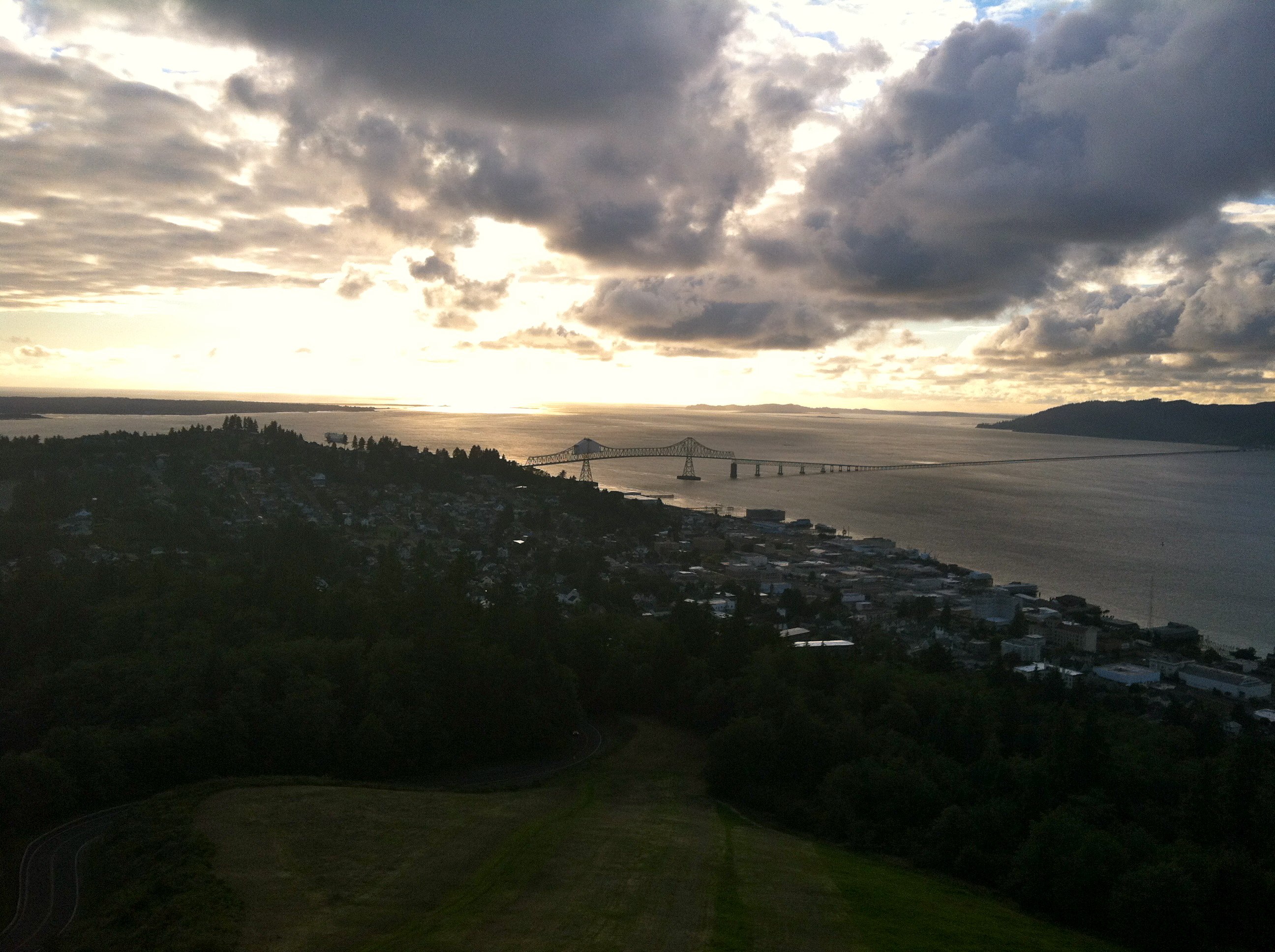
Astoria-Megler Bridge

Small Town Activities

Column of History casts a long shadow - Astoria's 200th Anniversary
More Astoria

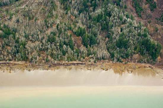
Astoria View
View on 101
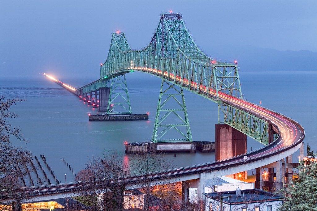
Astoria Megler Bridge HDR

Astoria Morning

The view from the Astoria Column, Oregon, Christmas Day.
20867.jpg
16634.jpg
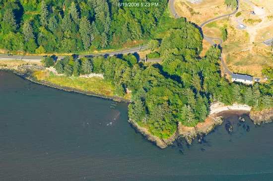
Columbia River Overlook

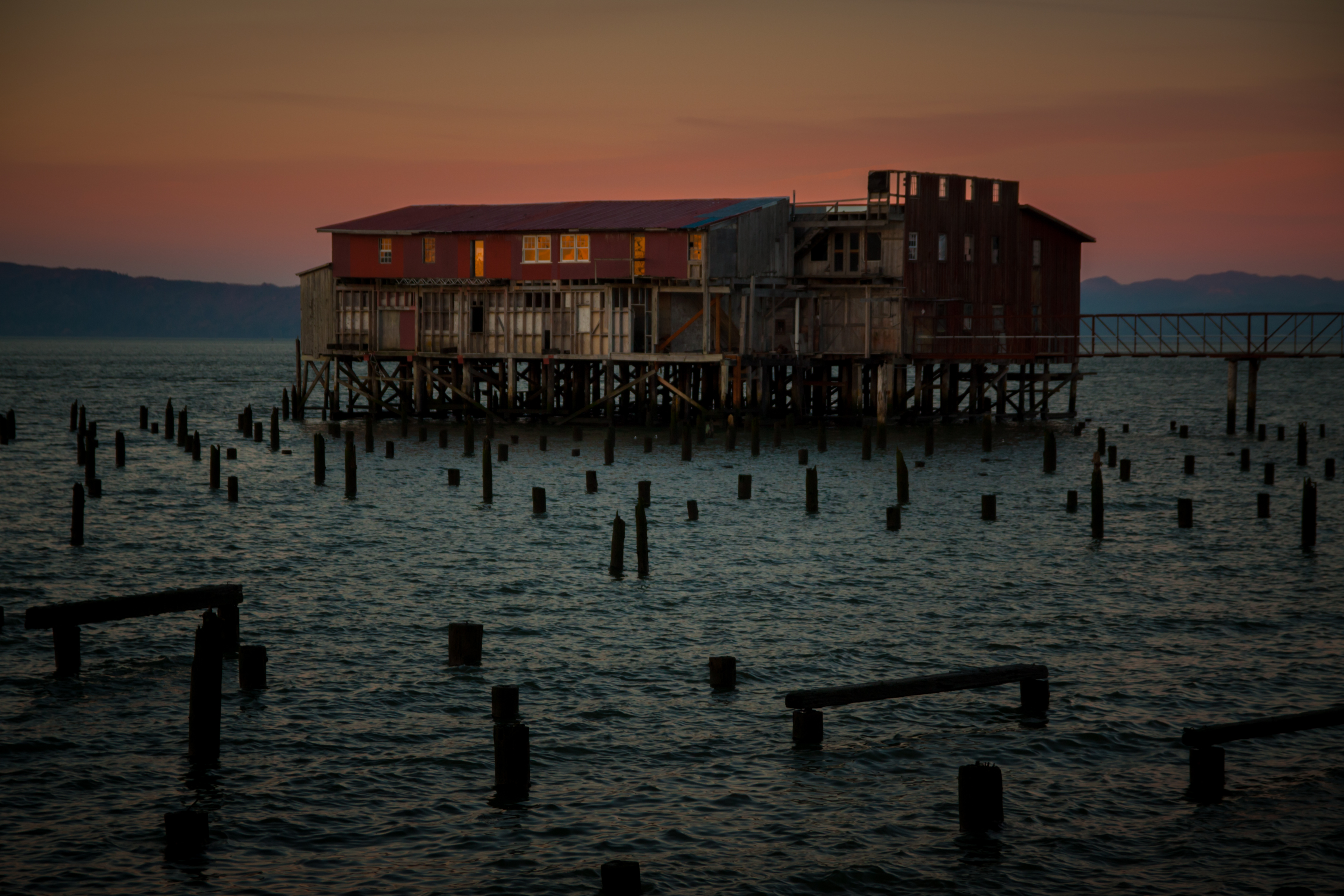
Astoria Waterfront

Sunning Cormorants
20878.jpg

20858.jpg
21023.jpg

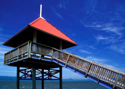
Fort Columbia State Park, Washington
View from the Astoria Column
Another PNW view
... why it's called the 'golden hour'.... [Try L]
The Beast
Astoria Oregon
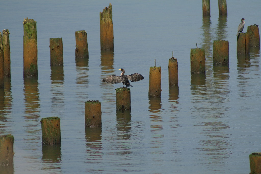
Look at Me!

The Vanishing

Shipwreck of the USS Plainview, Columbia River, Washington, 2014

Bridge to Nowhere

Back from Fishing
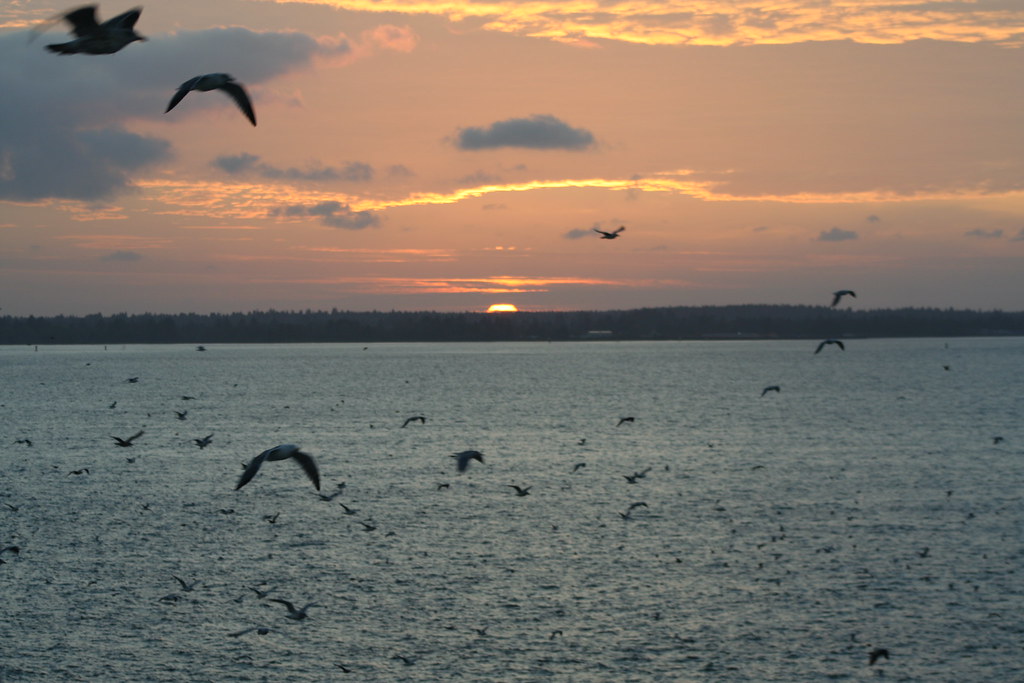
Sunset - "The Birds" Style
Astoria-2866
Fort Clatsop Oregon 2011 (17 of 20).jpg

Fort Clatsop Oregon 2011 (6 of 20).jpg
Fort Clatsop Oregon 2011 (16 of 20).jpg

05-17-2009 (2326)

SSG Black looking bright
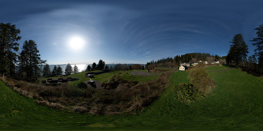
Fort Columbia State Park
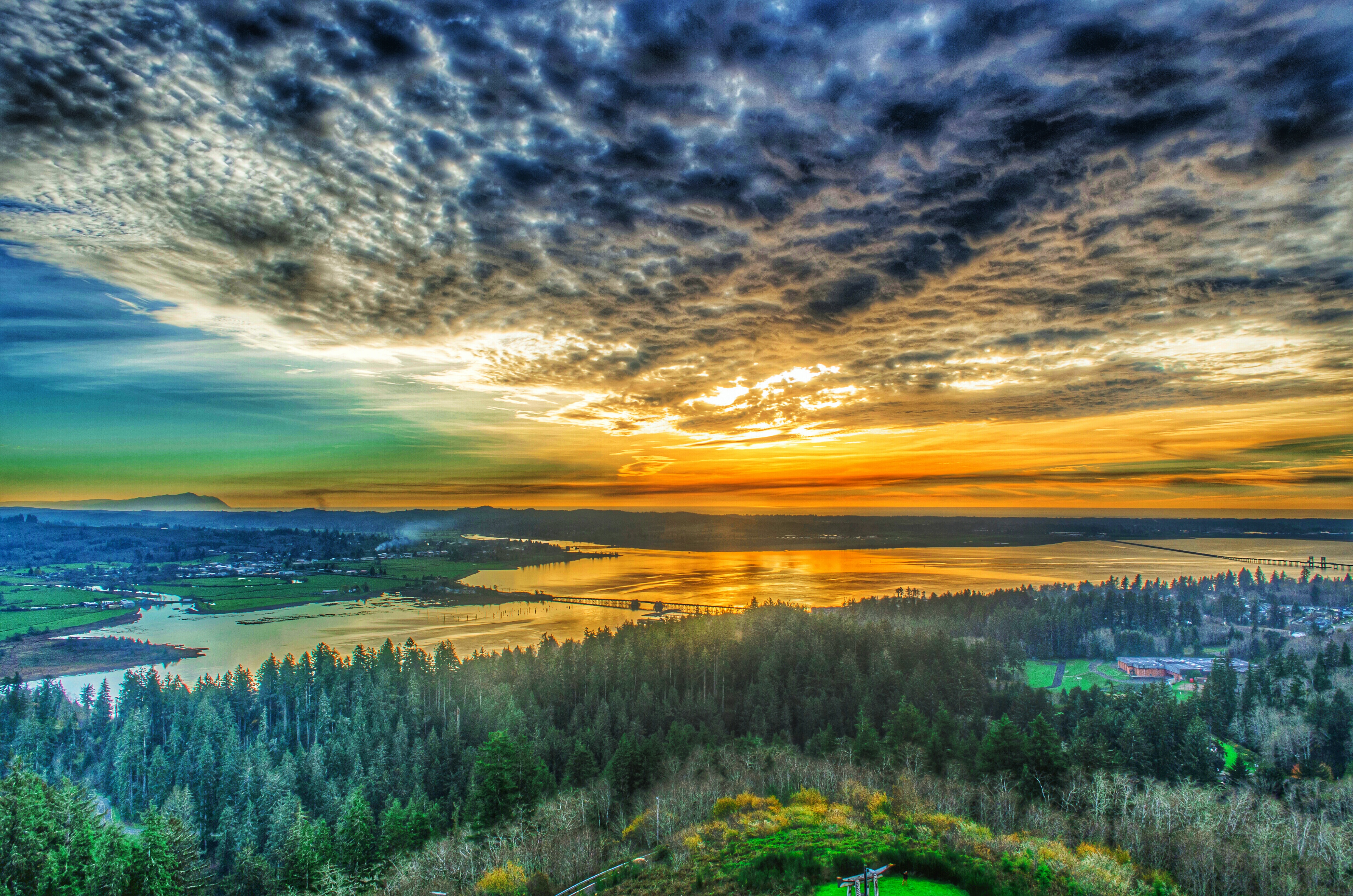
Astoria Sunset

2012-07-24__IMG9048 11 images
Astoria at sundown
Topographic Map of US-30, Astoria, OR, USA
Find elevation by address:

Places near US-30, Astoria, OR, USA:
Fern Hill Rd, Clatskanie, OR, USA
92672 Madison Rd
92933 Keller Rd
148 E Deep River Rd
Carl Johnson Lane
Valley Creek Lane & Stringtown Road
Stringtown Road
Saddle Mountain State Natural Area
Grays River
259 Loop Rd
Clifton Rd, Clatskanie, OR, USA
Hwy 30, Clatskanie, OR, USA
Wahkiakum County
Clifton Rd, Clatskanie, OR, USA
Skamokawa Valley
273 Middle Valley Rd
Hamlet
79827 Hamlet Rd
Sunset Highway
Elsie
Recent Searches:
- Elevation of Corso Fratelli Cairoli, 35, Macerata MC, Italy
- Elevation of Tallevast Rd, Sarasota, FL, USA
- Elevation of 4th St E, Sonoma, CA, USA
- Elevation of Black Hollow Rd, Pennsdale, PA, USA
- Elevation of Oakland Ave, Williamsport, PA, USA
- Elevation of Pedrógão Grande, Portugal
- Elevation of Klee Dr, Martinsburg, WV, USA
- Elevation of Via Roma, Pieranica CR, Italy
- Elevation of Tavkvetili Mountain, Georgia
- Elevation of Hartfords Bluff Cir, Mt Pleasant, SC, USA