Elevation of Skamokawa Valley, WA, USA
Location: United States > Washington > Wahkiakum County >
Longitude: -123.45562
Latitude: 46.2701942
Elevation: 7m / 23feet
Barometric Pressure: 101KPa
Elevation Map:
Satellite Map:
Related Photos:

Weather-Beaten Part 2

Overhead view of U.S. 30 landslide

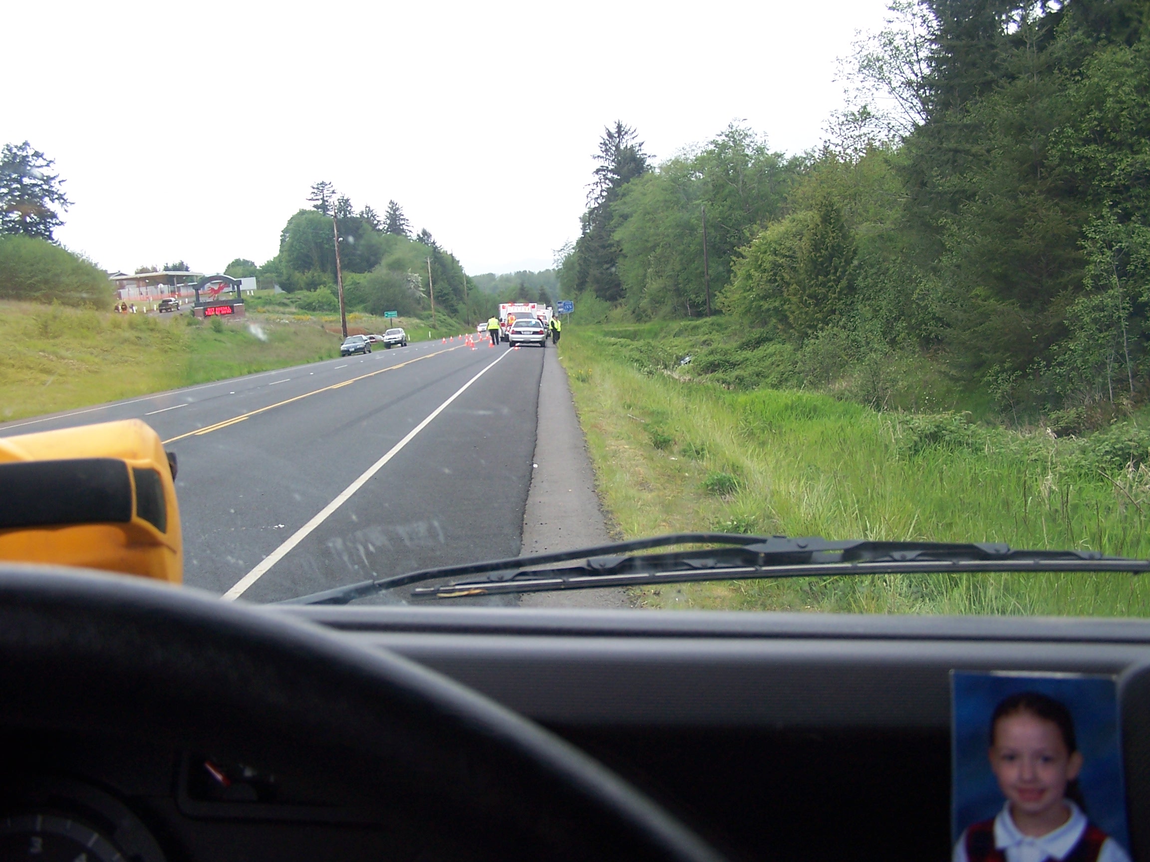
Aerial view of work on SR 4
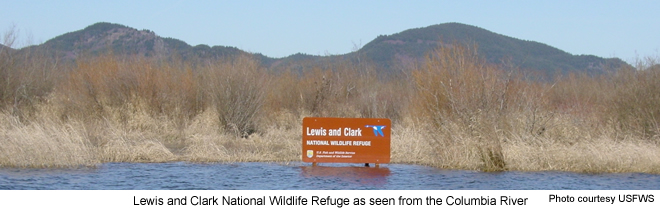
View from the Columbia River onto Lewis & Clark NWR

Jetski dumped in the woods

Looking west from Columbia View Road

Hick-a-Mack Campout 2007

Trash dumped and burned
view from my office window #1

TV and microwave

Small fire and garbage

Dumping in the forest

Panther 7 (floating again)

The Comet Sunset
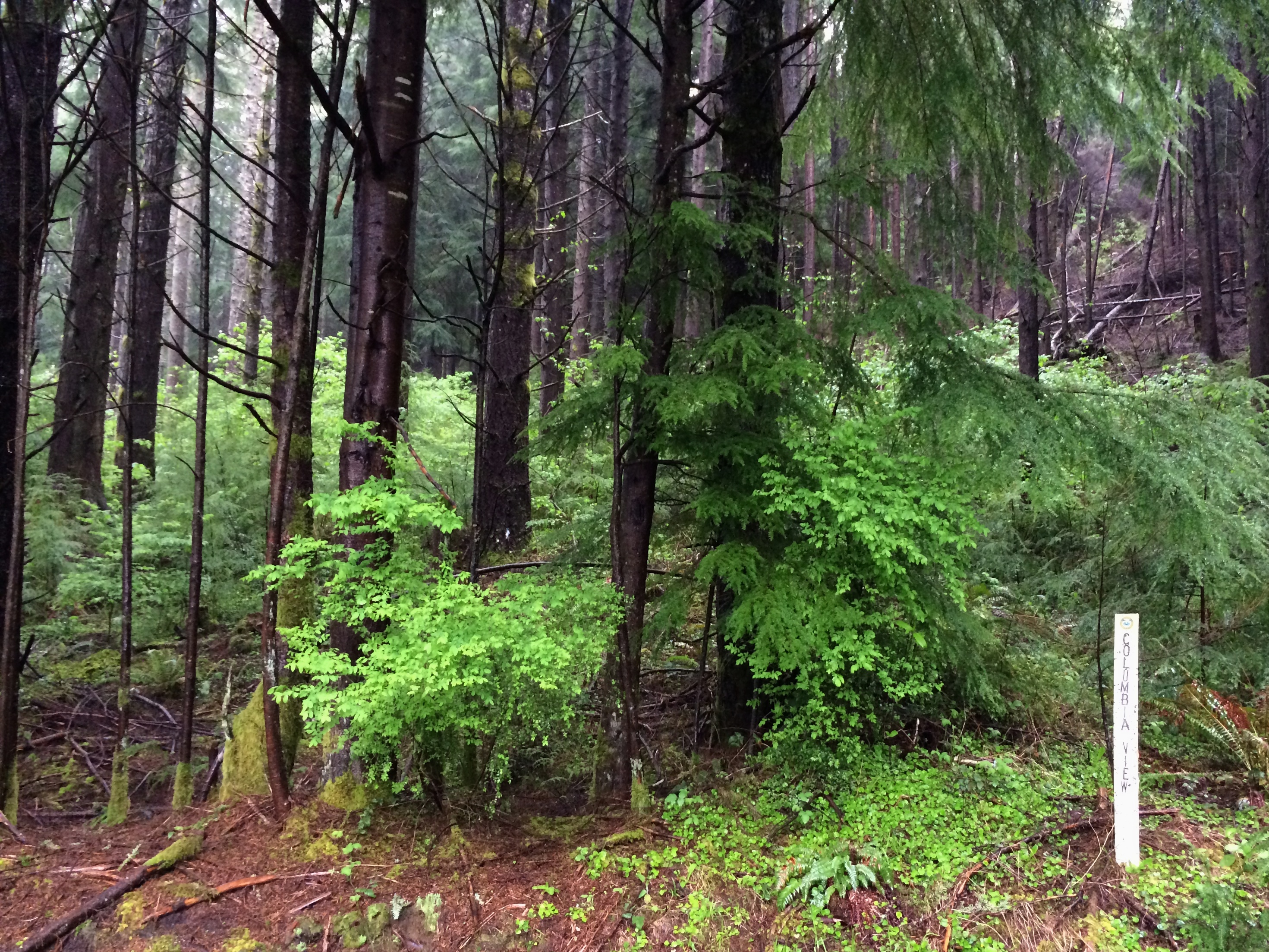
Columbia View Road
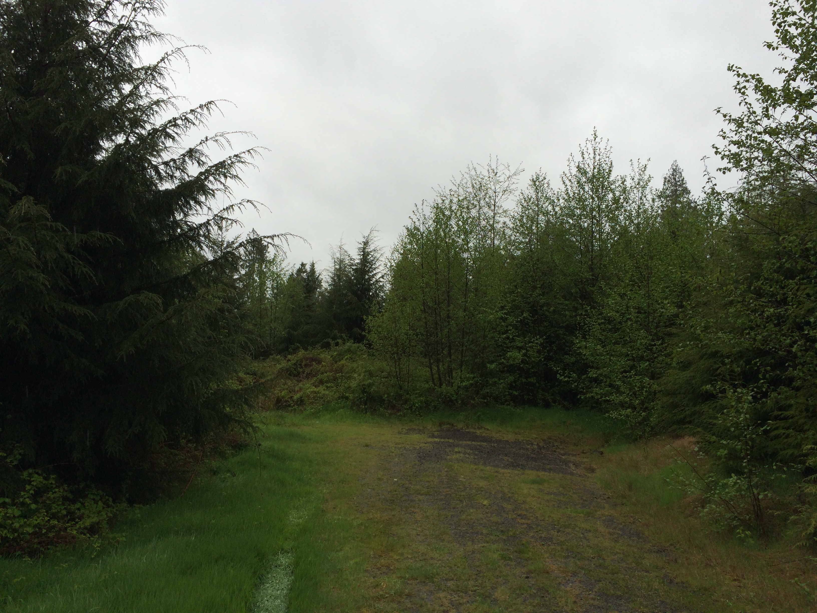
End of Columbia View Road

Columbia River in the distance

_DSC5912 (2) S.W. View

Panther 4

Panther 5

Panther 3

Grays River Farm

....

The way it is written

Old Barn, Rosburg, Washington, 2014

Beach, Columbia River, Skamokawa, Washington, 2014

Shack at the West Fork Shamokawa Creek

The Gray's River Covered Bridge, Washington, 2014

Blind Slough

Osprey construction platform

Aldrich Point top panorama

West Fork Shamokawa Creek
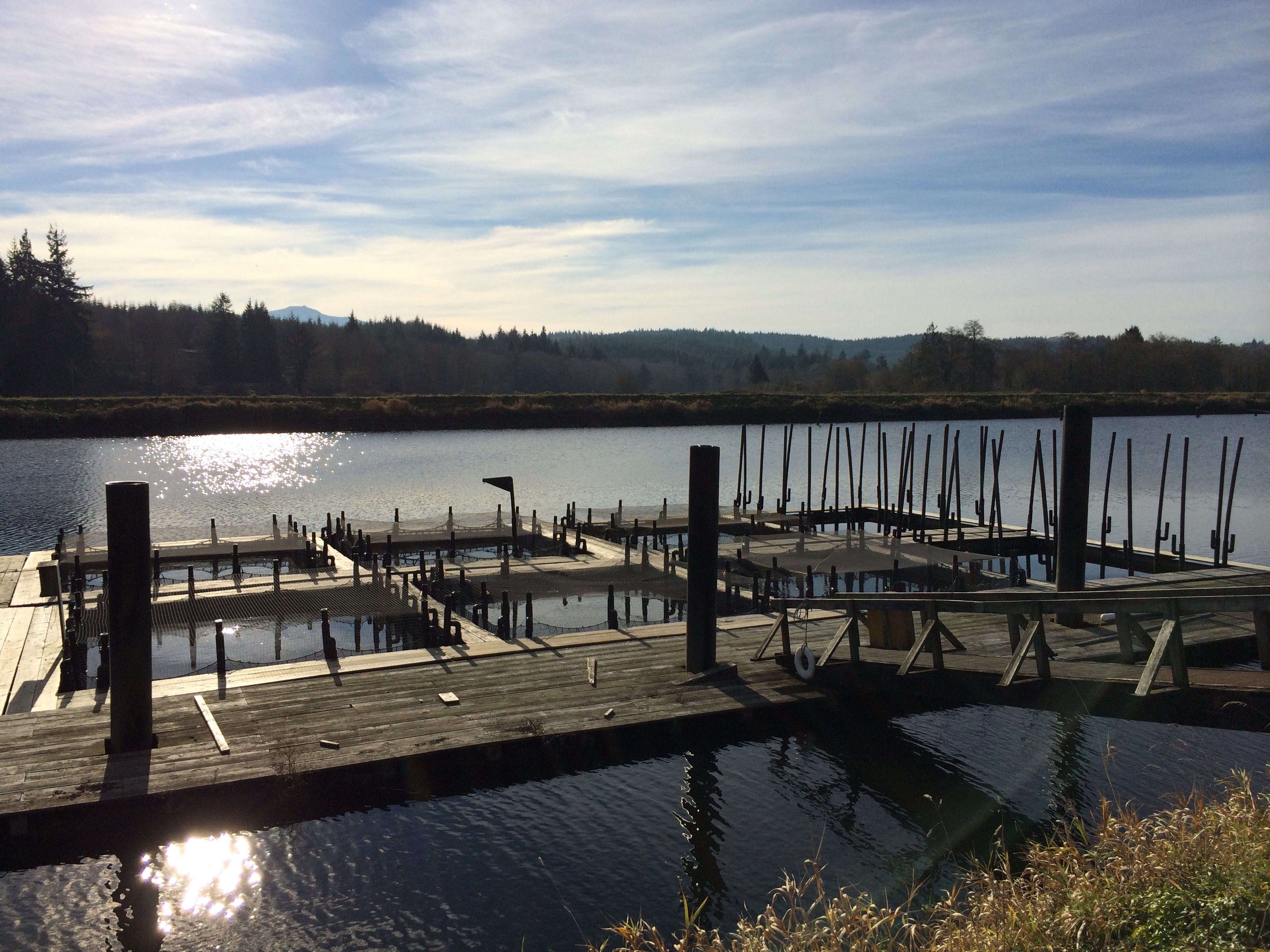
Fish hatchery

Red alder on Aldrich Point
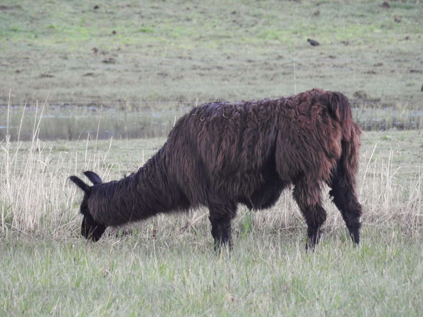
Llama who won't face the camera.

Woody Island Columbia River

Blind Slough

Grays River

Dark Reflections

Dairy cow fields
Topographic Map of Skamokawa Valley, WA, USA
Find elevation by address:

Places near Skamokawa Valley, WA, USA:
273 Middle Valley Rd
Clifton Rd, Clatskanie, OR, USA
Clifton Rd, Clatskanie, OR, USA
Wahkiakum County
Hwy 30, Clatskanie, OR, USA
Cathlamet
99 Main St
220 Wa-4
East Cathlamet
16 Hillcrest Dr
Fern Hill Road
121 Fern Hill Rd
121 Fern Hill Rd
210 Fern Hill Rd
WA-, Cathlamet, WA, USA
Stringtown Road
Carl Johnson Lane
Valley Creek Lane & Stringtown Road
259 Loop Rd
Grays River
Recent Searches:
- Elevation of Corso Fratelli Cairoli, 35, Macerata MC, Italy
- Elevation of Tallevast Rd, Sarasota, FL, USA
- Elevation of 4th St E, Sonoma, CA, USA
- Elevation of Black Hollow Rd, Pennsdale, PA, USA
- Elevation of Oakland Ave, Williamsport, PA, USA
- Elevation of Pedrógão Grande, Portugal
- Elevation of Klee Dr, Martinsburg, WV, USA
- Elevation of Via Roma, Pieranica CR, Italy
- Elevation of Tavkvetili Mountain, Georgia
- Elevation of Hartfords Bluff Cir, Mt Pleasant, SC, USA