Elevation of Stephenville Crossing, NL, Canada
Location: Canada > Newfoundland And Labrador > Division No. 4 >
Longitude: -58.4467644
Latitude: 48.5280004
Elevation: 17m / 56feet
Barometric Pressure: 0KPa
Related Photos:
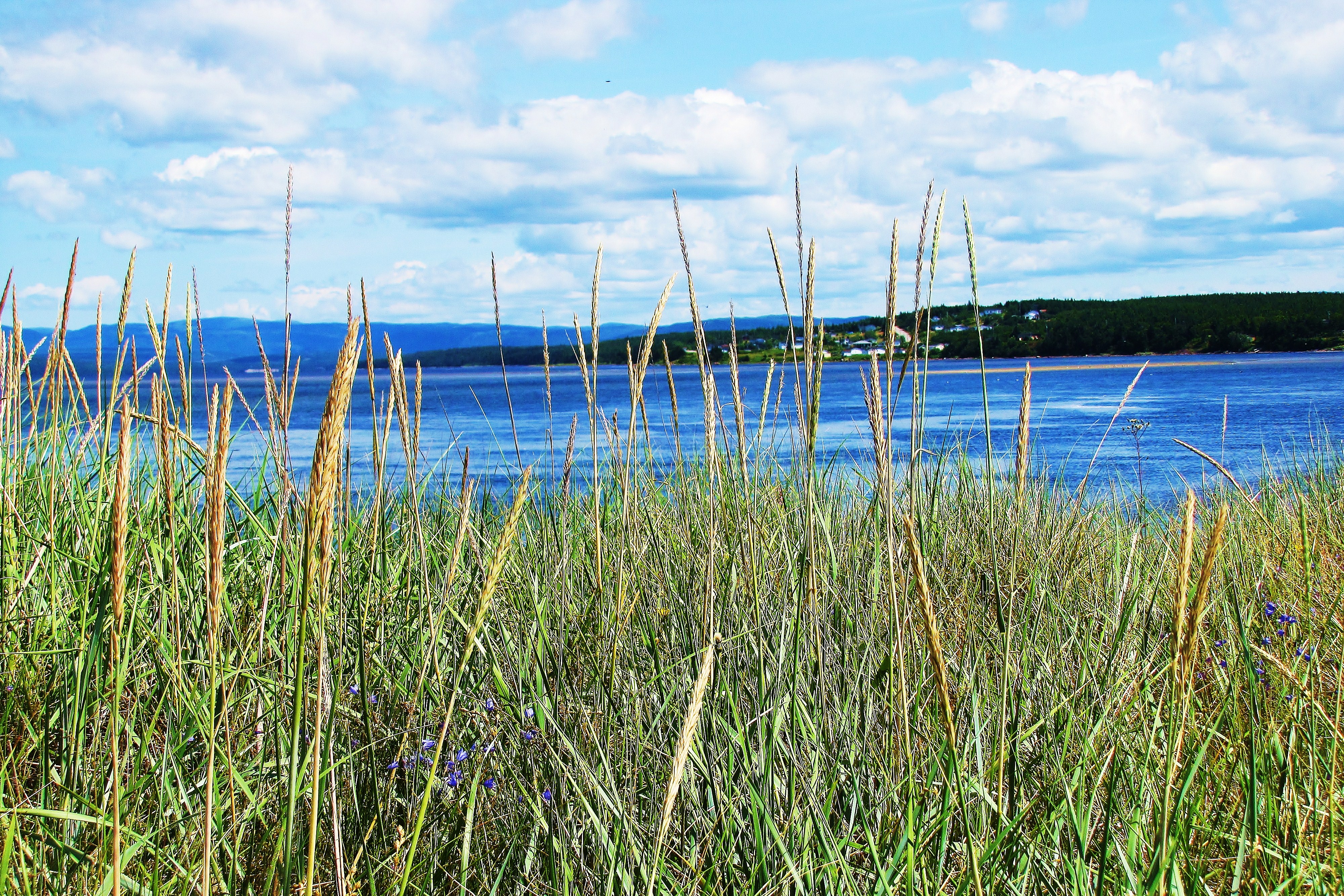
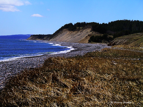
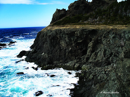
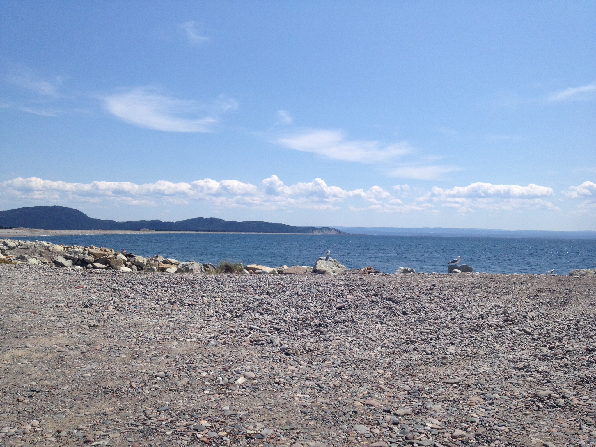
Mattis Point
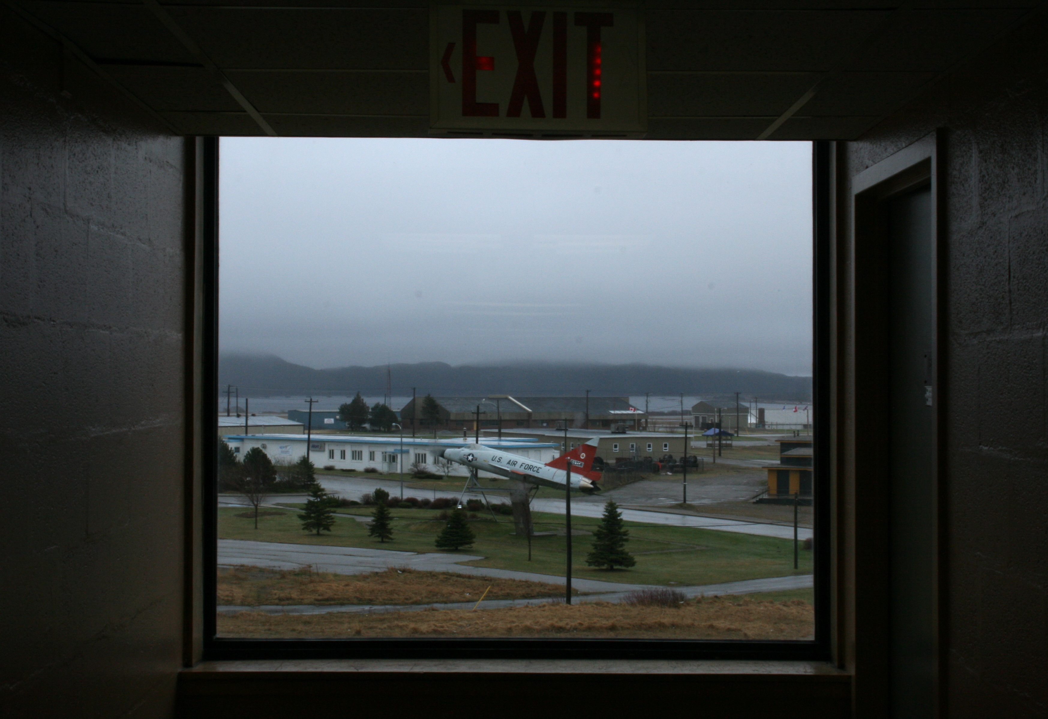
Foggy jet

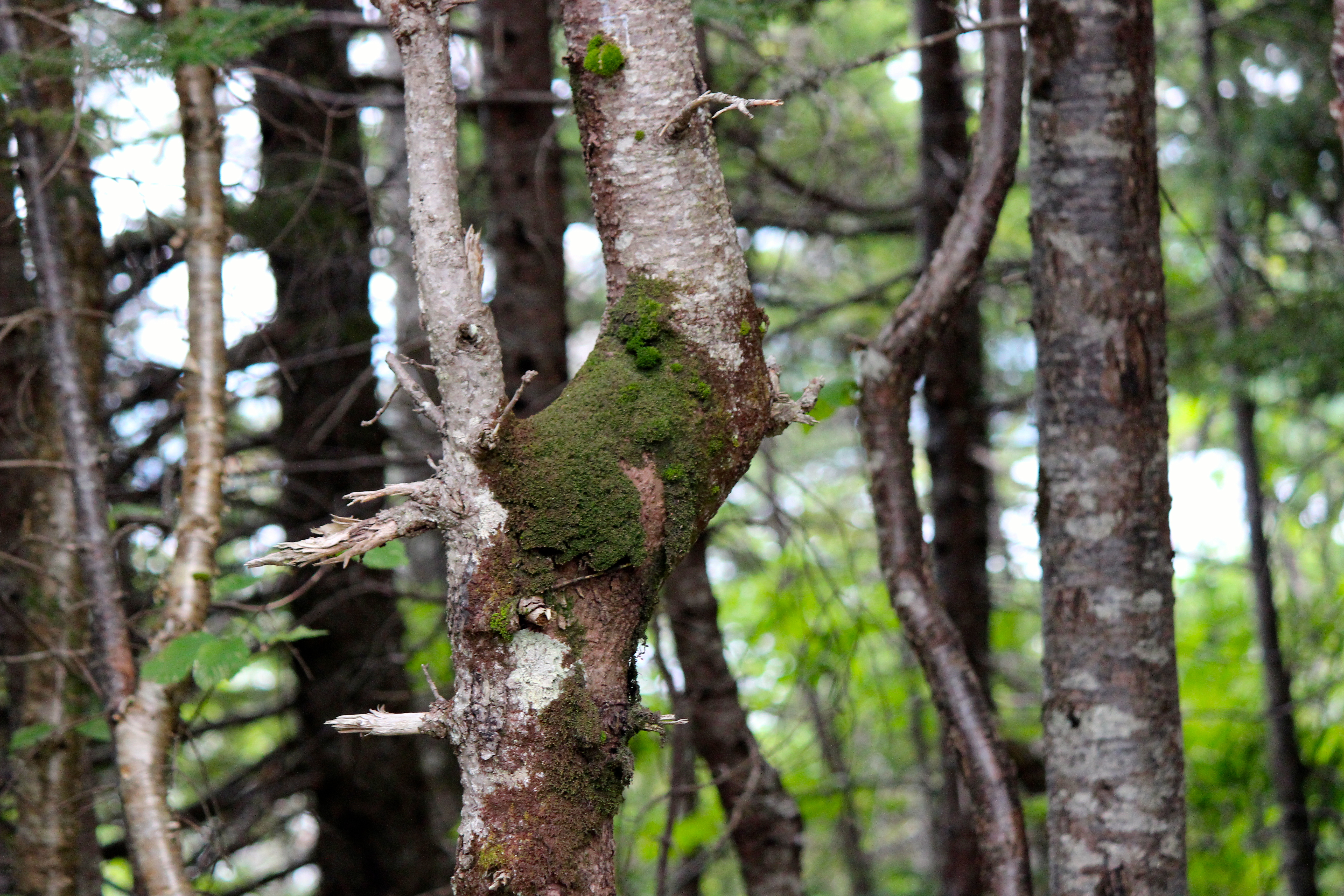
Erin Mountain
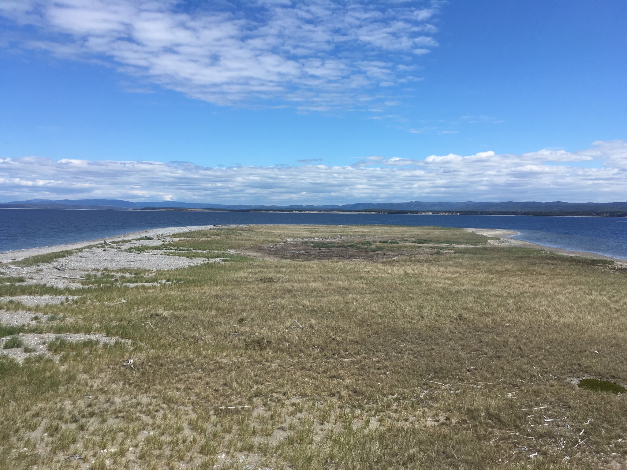
Barachois Brook
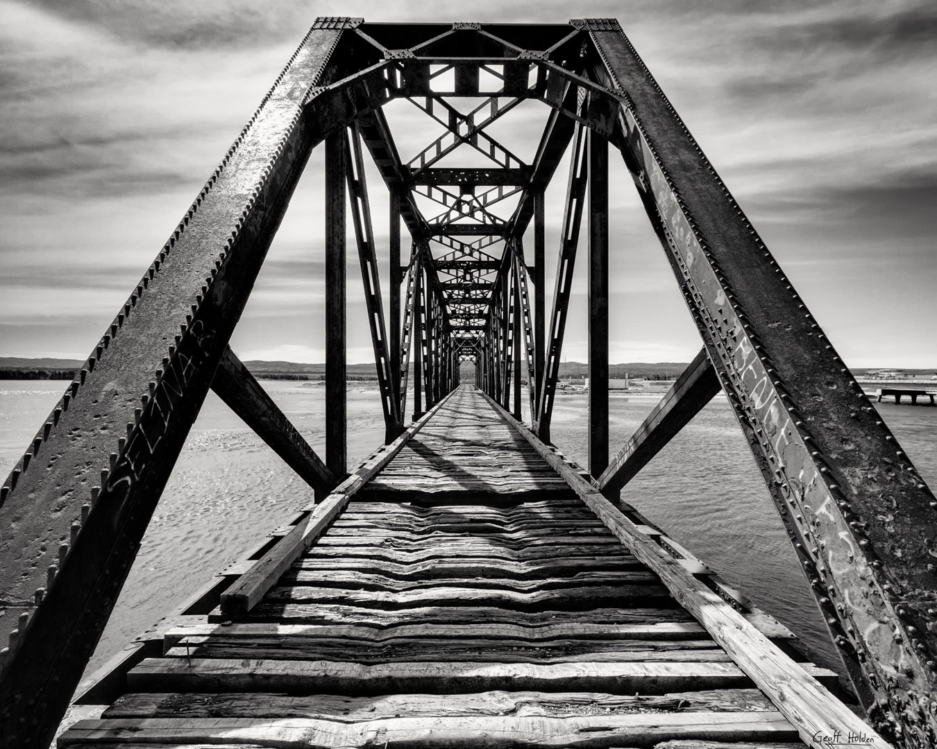
Gut Bridge
Newfoundland Beauty 2
What do you see ?
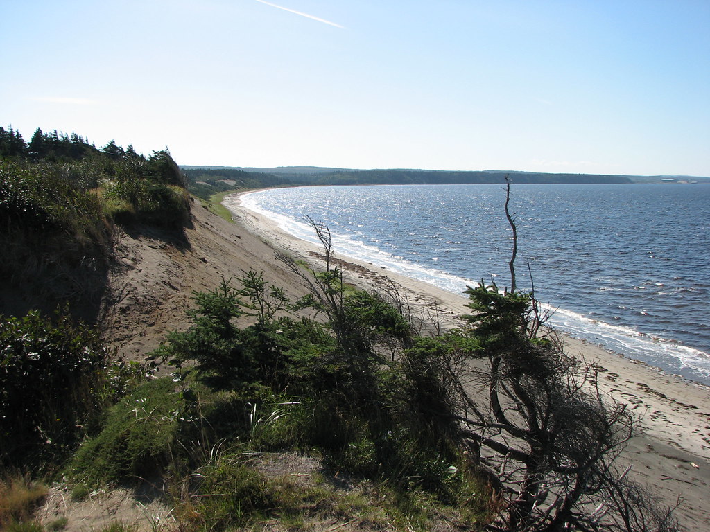
Newfoundland Shores
The Shores of Newfoundland
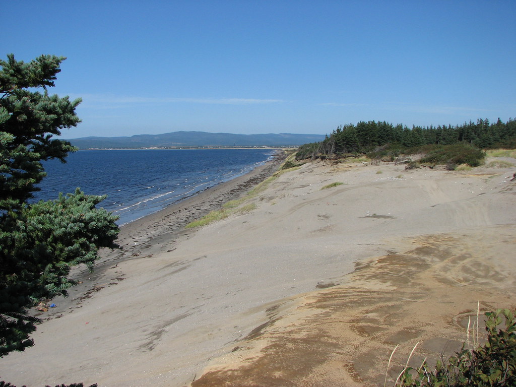
Newfoundland Beauty 1
Sandy Point

Barachois Brook
More adventures summer 2016
S'Ville
S'Ville
Topographic Map of Stephenville Crossing, NL, Canada
Find elevation by address:

Places near Stephenville Crossing, NL, Canada:
34 NL-, Noels Pond, NL A0N 1S0, Canada
Noels Pond
Saint George's
25 Hayes Ln, Saint George's, NL A0N 1Z0, Canada
Stephenville
NL-, Highlands, NL A0N 1N0, Canada
Kippens Rd, Kippens, NL A2N 3P3, Canada
60 NL-, Highlands, NL A0N 1N0, Canada
Division No. 4, Subd. D
Port Au Port East
67 NL-, West Bay Centre, NL A0N 2E0, Canada
Main St, Aguathuna, NL A0N 1A0, Canada
Port Au Port West-aguathuna-felix Cove
Heatherton
Division No. 4, Subd. C
Division No. 4, Subd. B
NL-, Cape Saint George, NL A0N 1T1, Canada
York Harbour
Lourdes
Humber Arm South
Recent Searches:
- Elevation map of Nagano Prefecture, Japan
- Elevation of 587, Bascule Drive, Oakdale, Stanislaus County, California, 95361, USA
- Elevation of Stadion Wankdorf, Sempachstrasse, Breitfeld, Bern, Bern-Mittelland administrative district, Bern, 3014, Switzerland
- Elevation of Z024, 76, Emil-von-Behring-Straße, Marbach, Marburg, Landkreis Marburg-Biedenkopf, Hesse, 35041, Germany
- Elevation of Gaskill Road, Hunts Cross, Liverpool, England, L24 9PH, United Kingdom
- Elevation of Speke, Liverpool, England, L24 9HD, United Kingdom
- Elevation of Seqirus, 475, Green Oaks Parkway, Holly Springs, Wake County, North Carolina, 27540, USA
- Elevation of Pasing, Munich, Bavaria, 81241, Germany
- Elevation of 24, Auburn Bay Crescent SE, Auburn Bay, Calgary, Alberta, T3M 0A6, Canada
- Elevation of Denver, 2314, Arapahoe Street, Five Points, Denver, Colorado, 80205, USA
- Elevation of Community of the Beatitudes, 2924, West 43rd Avenue, Sunnyside, Denver, Colorado, 80211, USA
- Elevation map of Litang County, Sichuan, China
- Elevation map of Madoi County, Qinghai, China
- Elevation of 3314, Ohio State Route 114, Payne, Paulding County, Ohio, 45880, USA
- Elevation of Sarahills Drive, Saratoga, Santa Clara County, California, 95070, USA
- Elevation of Town of Bombay, Franklin County, New York, USA
- Elevation of 9, Convent Lane, Center Moriches, Suffolk County, New York, 11934, USA
- Elevation of Saint Angelas Convent, 9, Convent Lane, Center Moriches, Suffolk County, New York, 11934, USA
- Elevation of 131st Street Southwest, Mukilteo, Snohomish County, Washington, 98275, USA
- Elevation of 304, Harrison Road, Naples, Cumberland County, Maine, 04055, USA