Elevation of Saint George's, NL, Canada
Location: Canada > Newfoundland And Labrador > Division No. 4 >
Longitude: -58.481263
Latitude: 48.42819
Elevation: 12m / 39feet
Barometric Pressure: 0KPa
Related Photos:
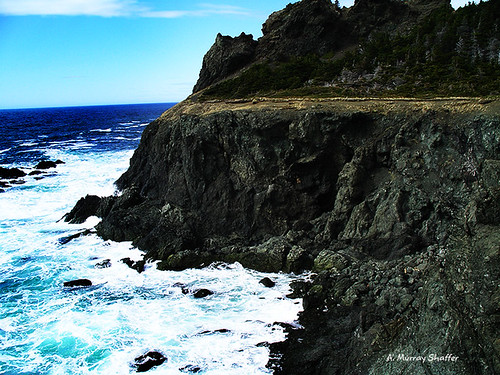
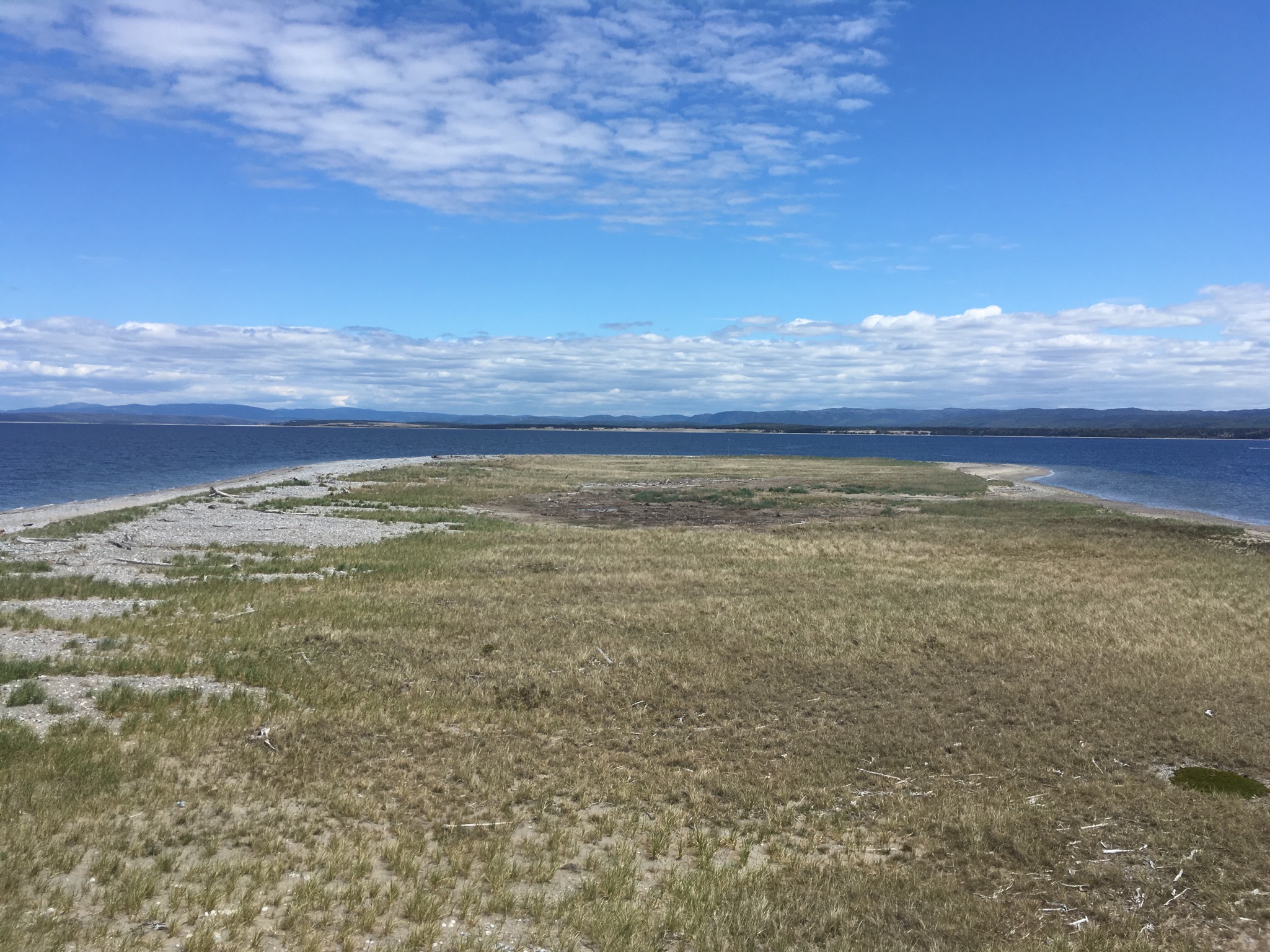
Mattis Point
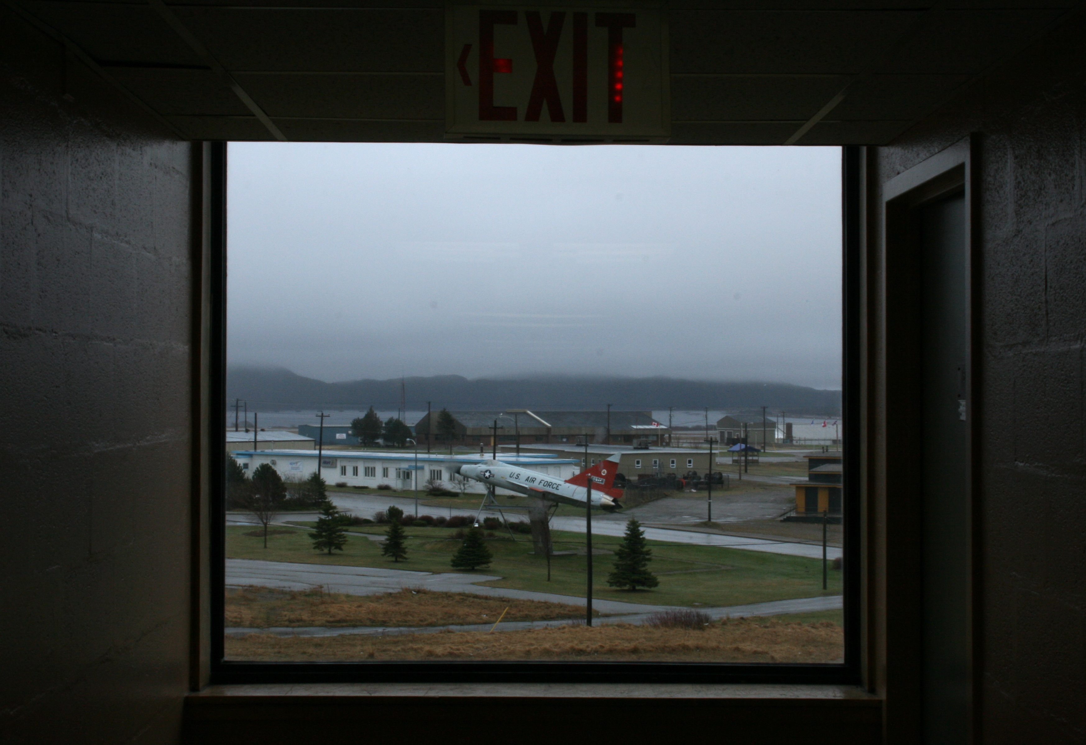
Foggy jet
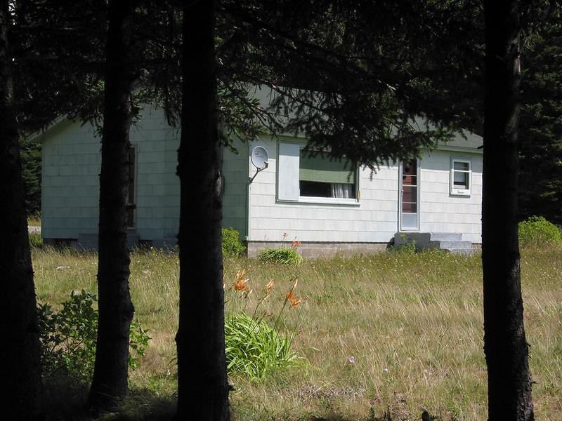
Newfoundland Beauty 2

Gut Bridge
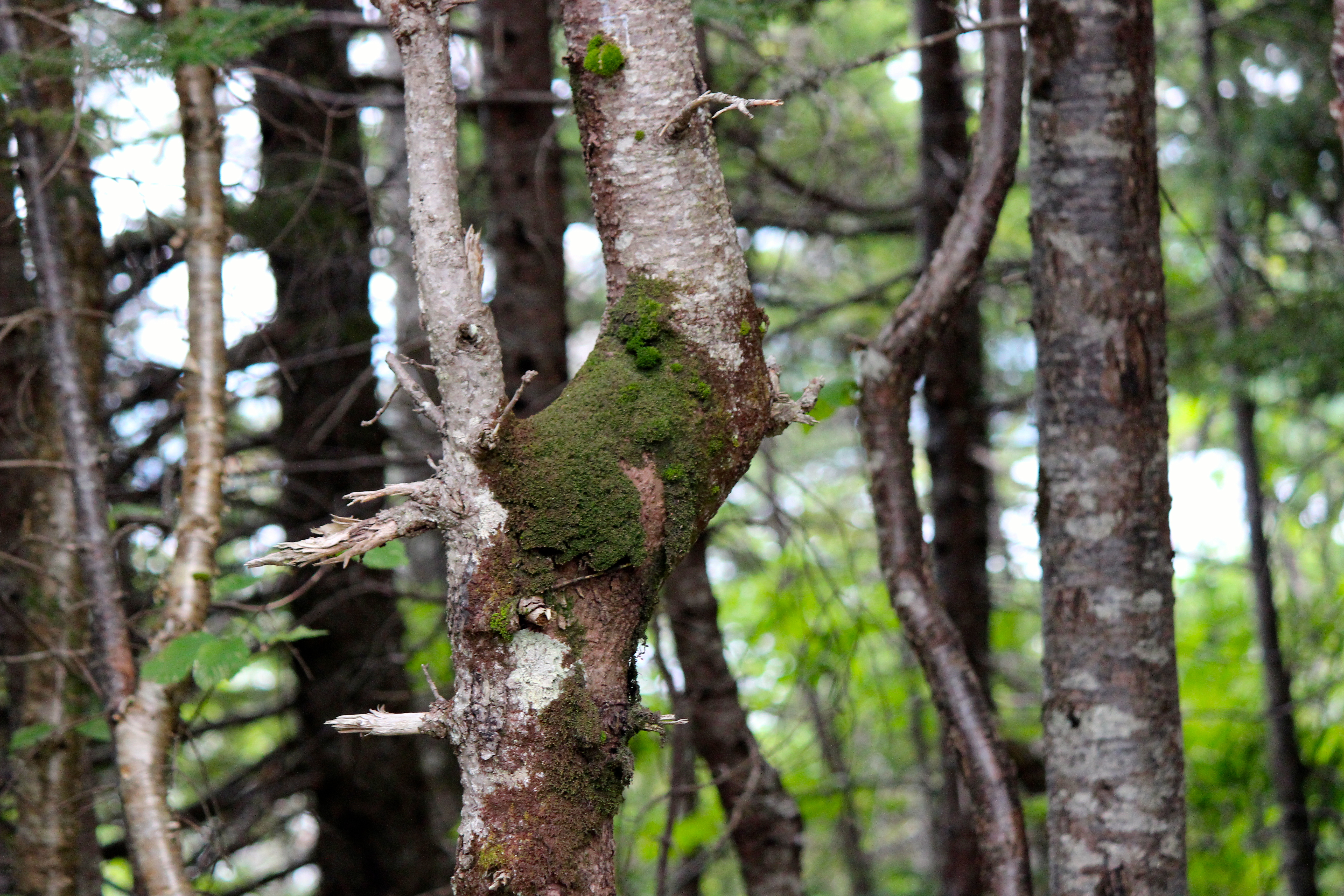
What do you see ?
Barachois Brook
Newfoundland Beauty 1
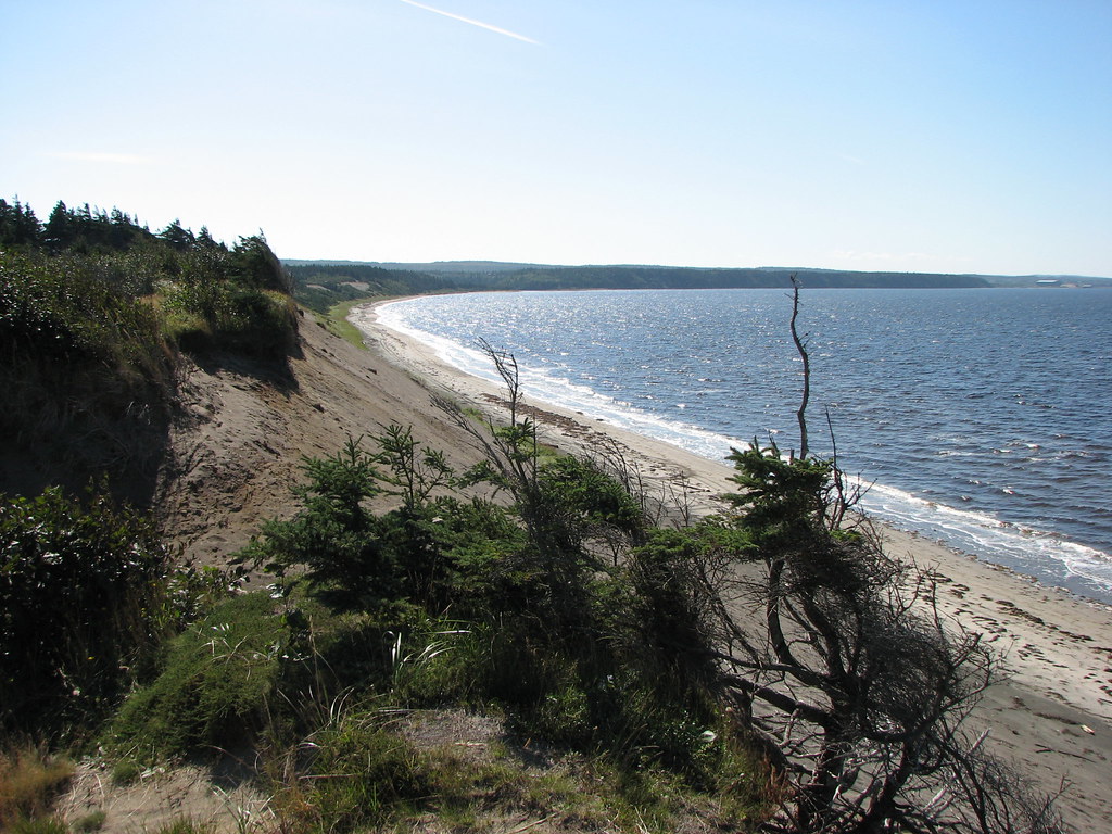
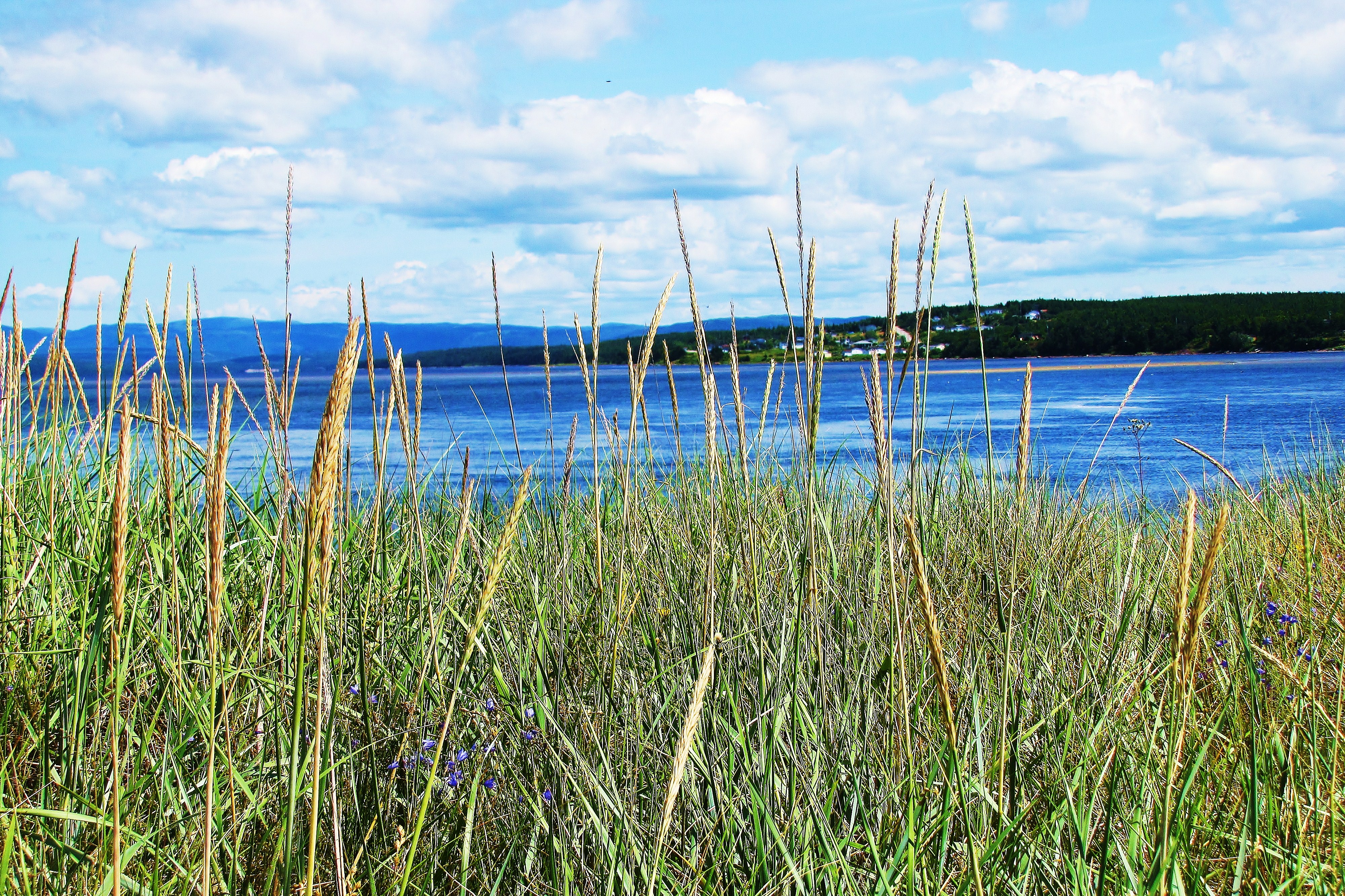
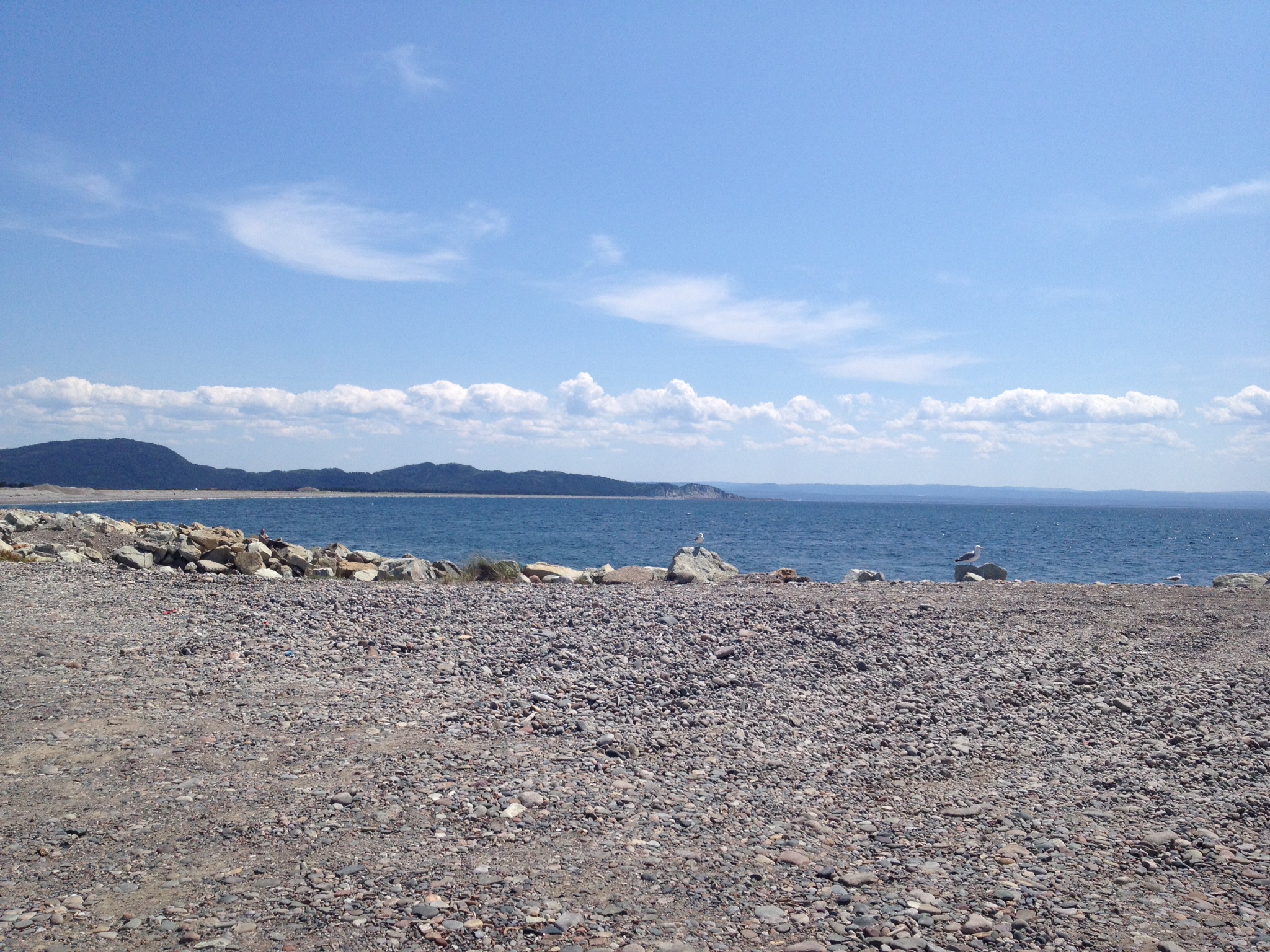
Newfoundland Shores
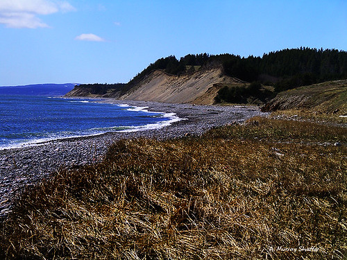
The Shores of Newfoundland
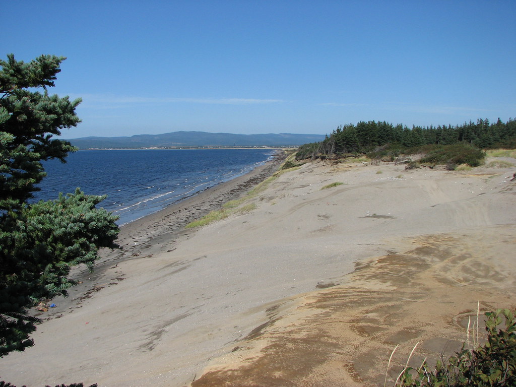
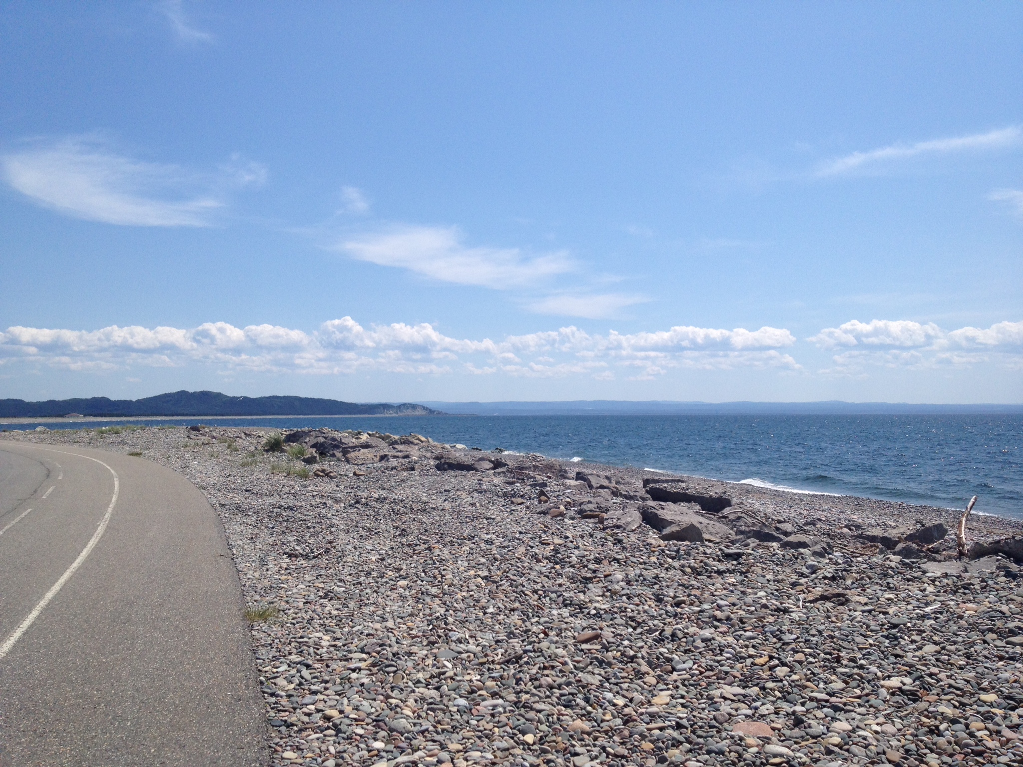
Sandy Point

Barachois Brook
S'Ville
S'Ville
Topographic Map of Saint George's, NL, Canada
Find elevation by address:

Places in Saint George's, NL, Canada:
Places near Saint George's, NL, Canada:
25 Hayes Ln, Saint George's, NL A0N 1Z0, Canada
NL-, Highlands, NL A0N 1N0, Canada
Stephenville Crossing
60 NL-, Highlands, NL A0N 1N0, Canada
34 NL-, Noels Pond, NL A0N 1S0, Canada
Noels Pond
Stephenville
Kippens Rd, Kippens, NL A2N 3P3, Canada
67 NL-, West Bay Centre, NL A0N 2E0, Canada
Port Au Port East
Division No. 4, Subd. D
Main St, Aguathuna, NL A0N 1A0, Canada
Port Au Port West-aguathuna-felix Cove
Heatherton
Division No. 4, Subd. B
Division No. 4, Subd. C
NL-, Cape Saint George, NL A0N 1T1, Canada
Highlands
Lourdes
Division No. 4, Subd. E
Recent Searches:
- Elevation of Denver, 2314, Arapahoe Street, Five Points, Denver, Colorado, 80205, USA
- Elevation of Community of the Beatitudes, 2924, West 43rd Avenue, Sunnyside, Denver, Colorado, 80211, USA
- Elevation map of Litang County, Sichuan, China
- Elevation map of Madoi County, Qinghai, China
- Elevation of 3314, Ohio State Route 114, Payne, Paulding County, Ohio, 45880, USA
- Elevation of Sarahills Drive, Saratoga, Santa Clara County, California, 95070, USA
- Elevation of Town of Bombay, Franklin County, New York, USA
- Elevation of 9, Convent Lane, Center Moriches, Suffolk County, New York, 11934, USA
- Elevation of Saint Angelas Convent, 9, Convent Lane, Center Moriches, Suffolk County, New York, 11934, USA
- Elevation of 131st Street Southwest, Mukilteo, Snohomish County, Washington, 98275, USA
- Elevation of 304, Harrison Road, Naples, Cumberland County, Maine, 04055, USA
- Elevation of 2362, Timber Ridge Road, Harrisburg, Cabarrus County, North Carolina, 28075, USA
- Elevation of Ridge Road, Marshalltown, Marshall County, Iowa, 50158, USA
- Elevation of 2459, Misty Shadows Drive, Pigeon Forge, Sevier County, Tennessee, 37862, USA
- Elevation of 8043, Brightwater Way, Spring Hill, Williamson County, Tennessee, 37179, USA
- Elevation of Starkweather Road, San Luis, Costilla County, Colorado, 81152, USA
- Elevation of 5277, Woodside Drive, Baton Rouge, East Baton Rouge Parish, Louisiana, 70808, USA
- Elevation of 1139, Curtin Street, Shepherd Park Plaza, Houston, Harris County, Texas, 77018, USA
- Elevation of 136, Sellers Lane, Repton, Monroe County, Alabama, 36475, USA
- Elevation of 12914, Elmington Drive, Lakewood Forest, Houston, Harris County, Texas, 77429, USA