Elevation of 34 NL-, Noels Pond, NL A0N 1S0, Canada
Location: Canada > Newfoundland And Labrador > Division No. 4 > Division No. 4, Subd. D > Noels Pond >
Longitude: -58.515633
Latitude: 48.5649492
Elevation: 32m / 105feet
Barometric Pressure: 101KPa
Elevation Map:
Satellite Map:
Related Photos:
Mattis Point
DSC_0570 [640x480]
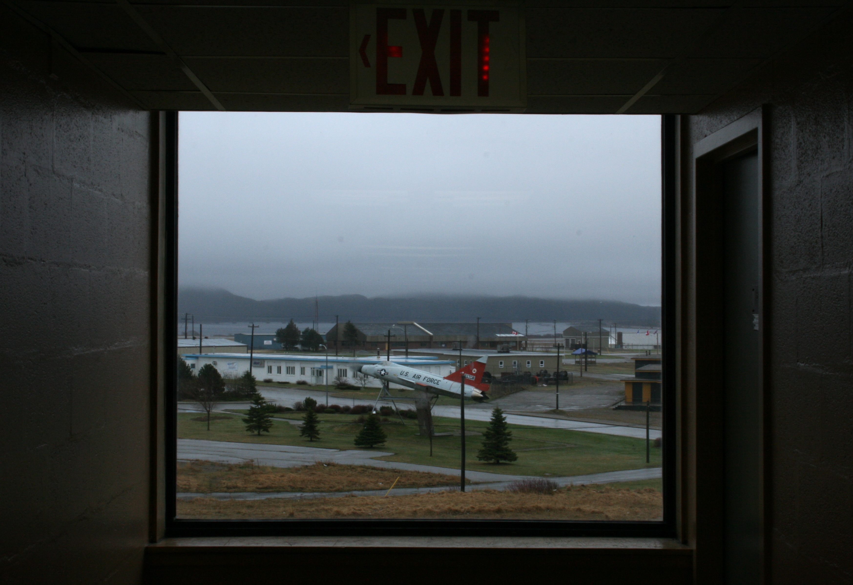
Foggy jet
Newfoundland Beauty 2
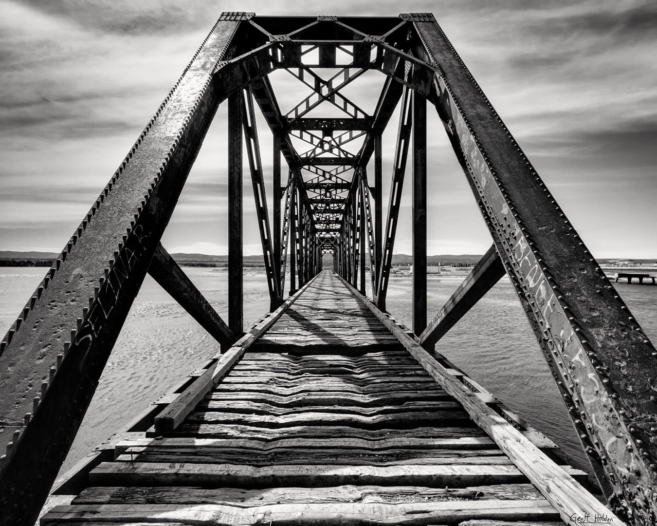
Gut Bridge
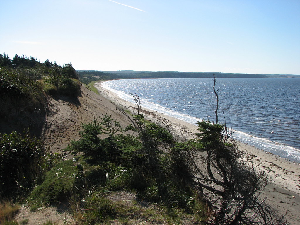
Barachois Brook

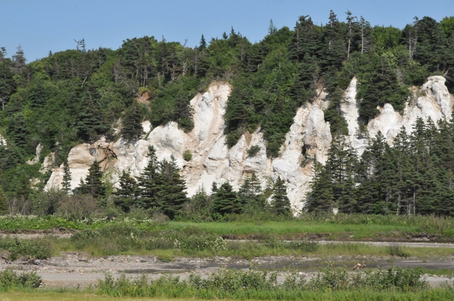
Stump Design
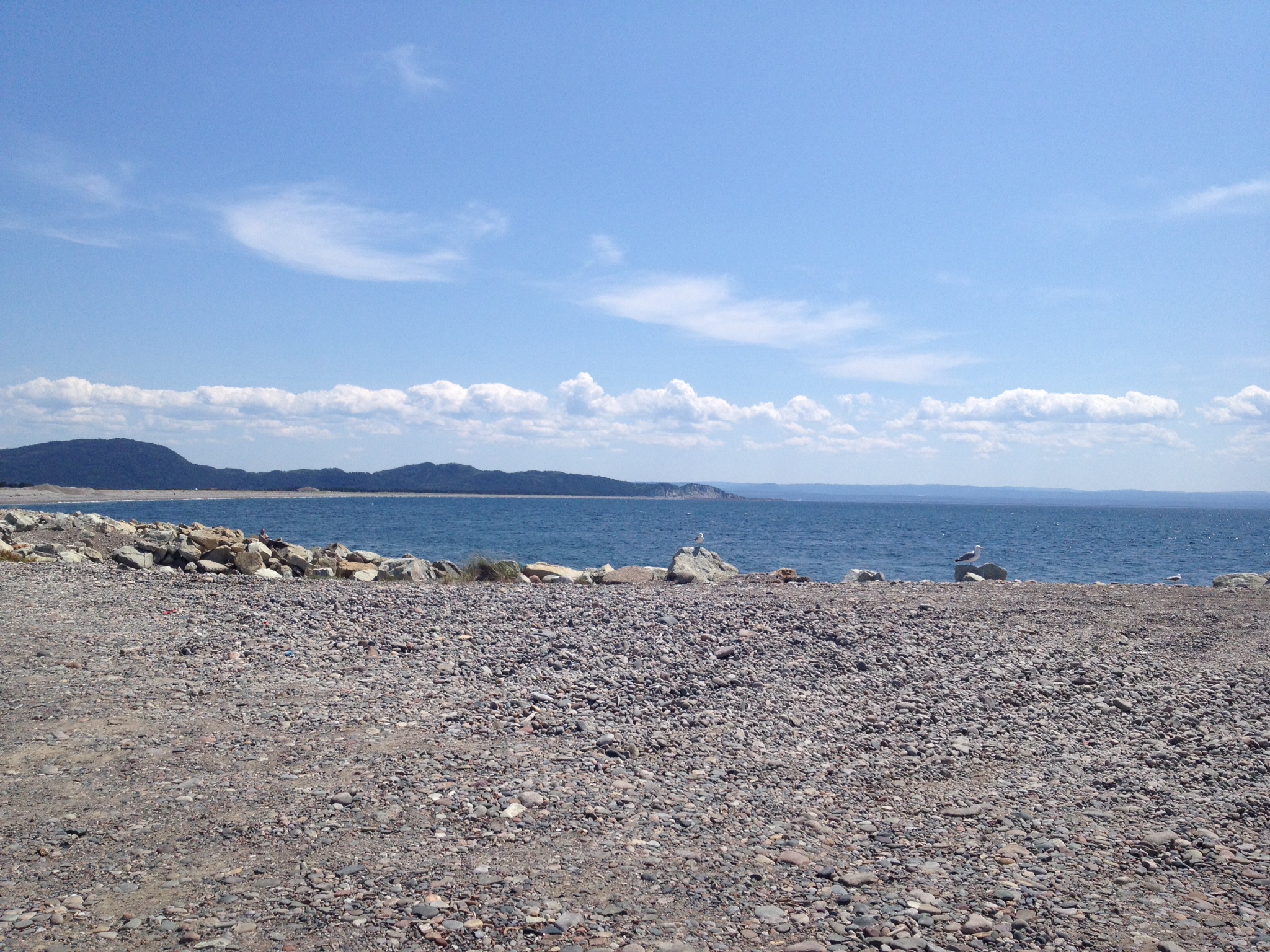
Newfoundland Beauty 1
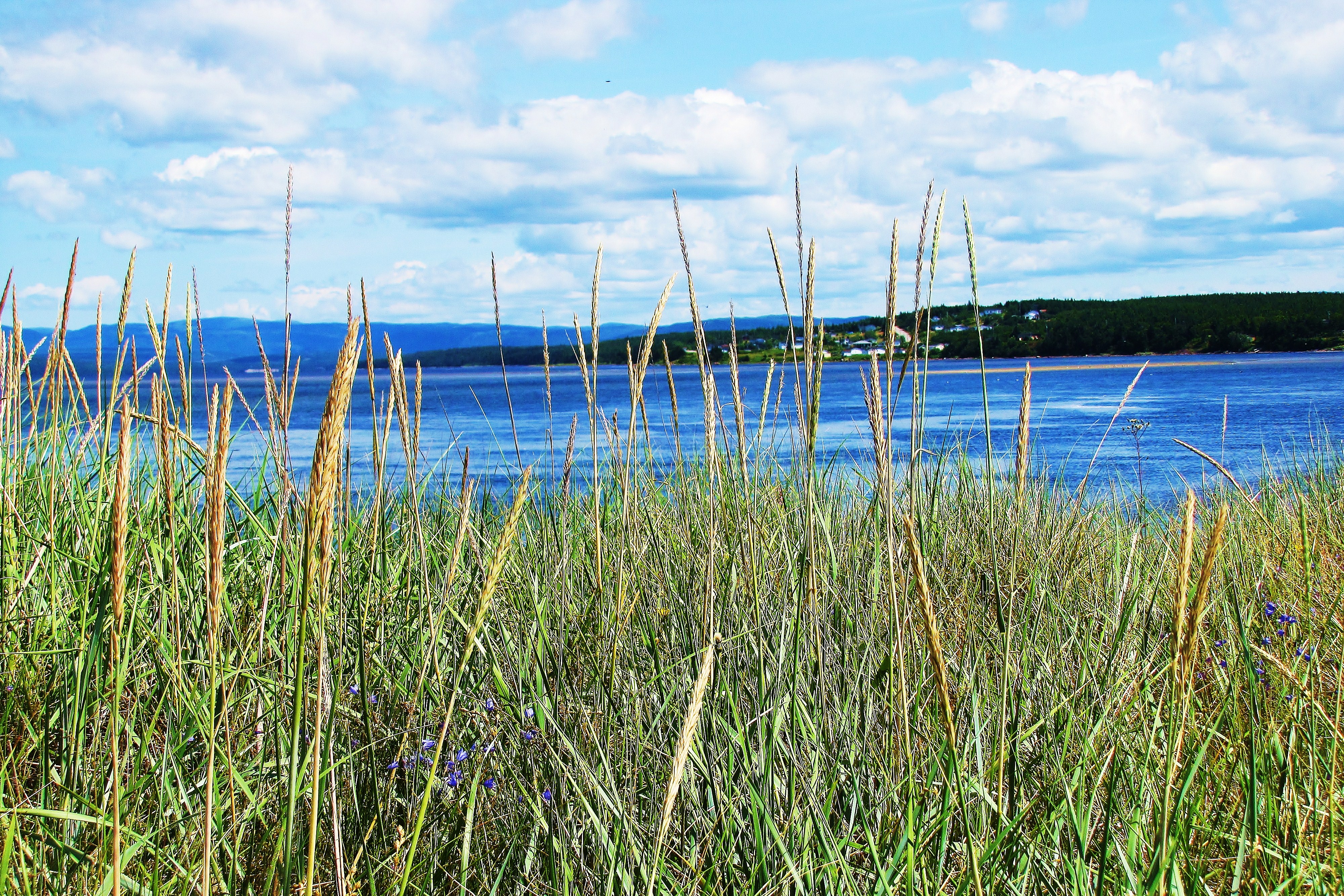
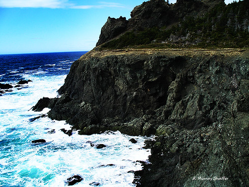
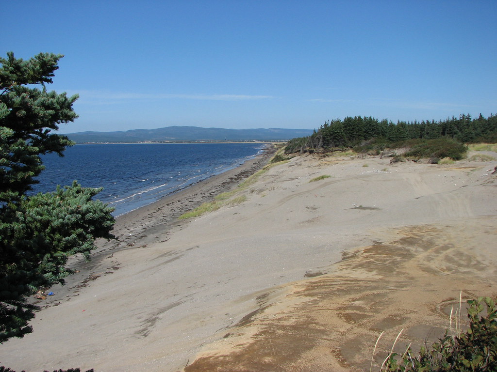
Newfoundland Shores
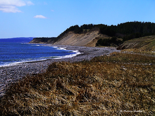
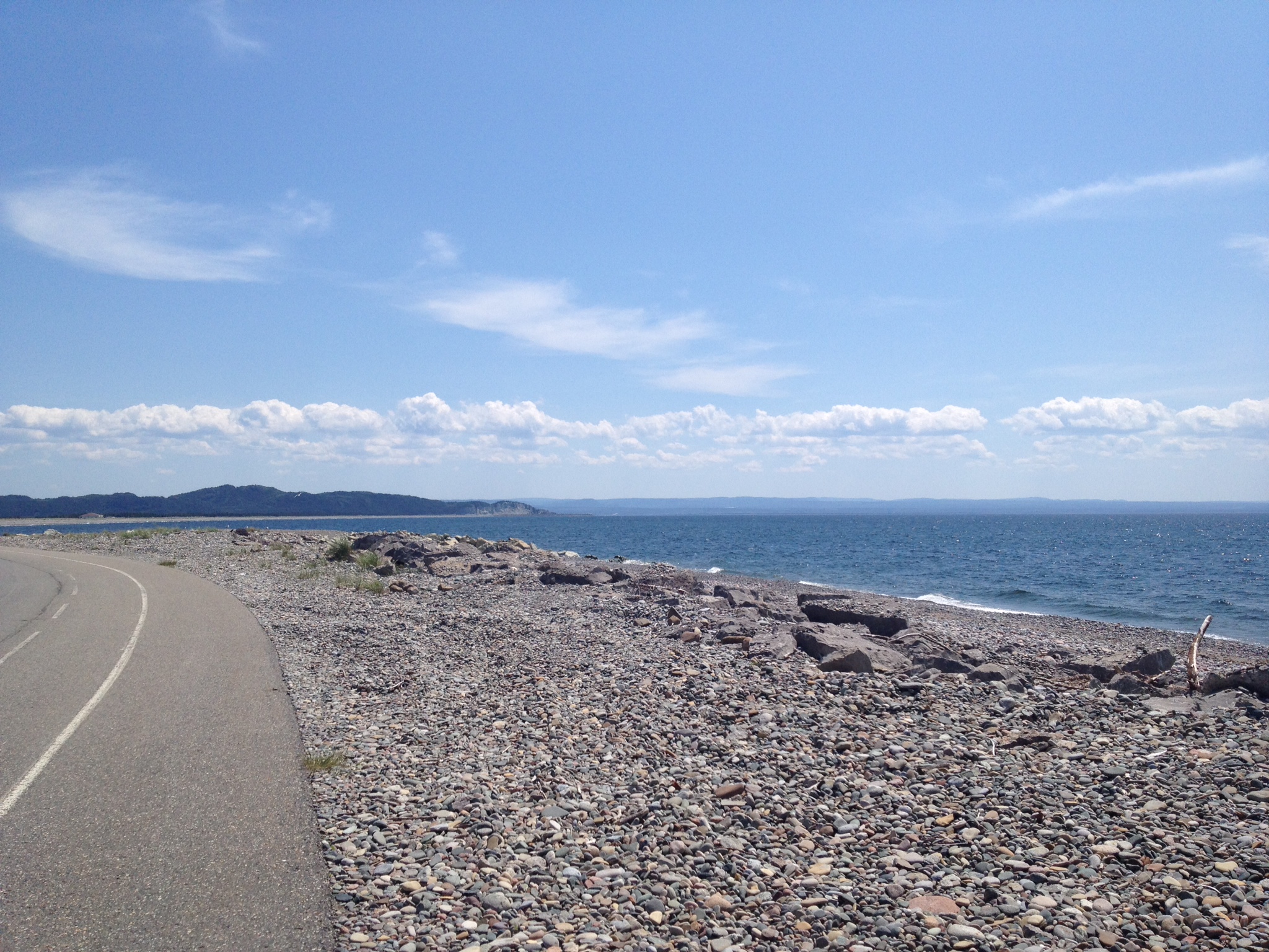
The Shores of Newfoundland

Barachois Brook
S'Ville
S'Ville
Topographic Map of 34 NL-, Noels Pond, NL A0N 1S0, Canada
Find elevation by address:

Places near 34 NL-, Noels Pond, NL A0N 1S0, Canada:
Noels Pond
Stephenville
Stephenville Crossing
Kippens Rd, Kippens, NL A2N 3P3, Canada
Division No. 4, Subd. D
Saint George's
25 Hayes Ln, Saint George's, NL A0N 1Z0, Canada
NL-, Highlands, NL A0N 1N0, Canada
Port Au Port East
67 NL-, West Bay Centre, NL A0N 2E0, Canada
60 NL-, Highlands, NL A0N 1N0, Canada
Main St, Aguathuna, NL A0N 1A0, Canada
Port Au Port West-aguathuna-felix Cove
Heatherton
NL-, Cape Saint George, NL A0N 1T1, Canada
Division No. 4, Subd. B
Division No. 4, Subd. C
Lourdes
York Harbour
Division No. 4, Subd. E
Recent Searches:
- Elevation of Corso Fratelli Cairoli, 35, Macerata MC, Italy
- Elevation of Tallevast Rd, Sarasota, FL, USA
- Elevation of 4th St E, Sonoma, CA, USA
- Elevation of Black Hollow Rd, Pennsdale, PA, USA
- Elevation of Oakland Ave, Williamsport, PA, USA
- Elevation of Pedrógão Grande, Portugal
- Elevation of Klee Dr, Martinsburg, WV, USA
- Elevation of Via Roma, Pieranica CR, Italy
- Elevation of Tavkvetili Mountain, Georgia
- Elevation of Hartfords Bluff Cir, Mt Pleasant, SC, USA