Elevation of York Harbour, NL, Canada

Location: Canada > Newfoundland And Labrador > Division No. 5 >

Longitude: -58.379716

Latitude: 49.0607764

Elevation: 15m / 49feet

Barometric Pressure: 101KPa

Elevation Map:

elevation map of York Harbour, NL, Canada

Satellite Map:

Satellite map of York Harbour, NL, Canada

Related Photos:

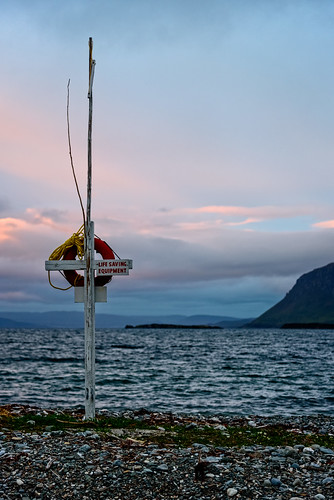
shoreline sunset bay mountains highdynamicrange larkharbor clouds hdr lrhdr weather manipulations scenic lightroomhdr ocean newfoundland water canada locationrecorded mountain lifering lifesavingequipment beach shore waves
Sunset views from our campsite on the beach
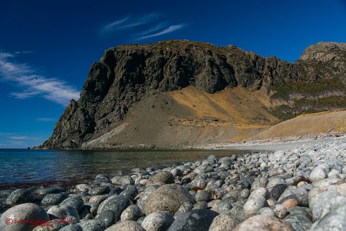
ocean cliff mountain beach rock newfoundland bay nikon cove shoreline shore cedar inlet jagged wade d800 tamron2875
Cedar Cove, Lark Harbour, NL
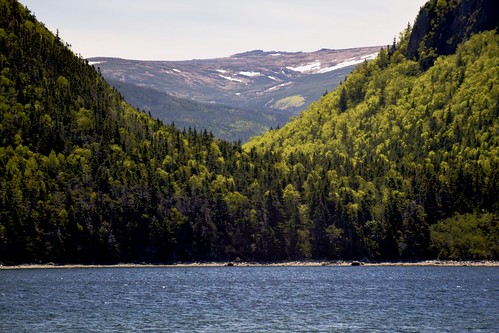
newfoundland larkharbour
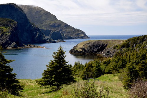
View of Lark Harbour, Newfoundland
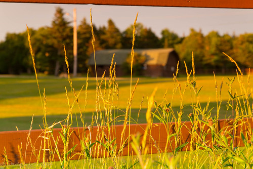
sunset field grass barn fence newfoundland evening nikon labrador resort wade tamron d800 tamron2875 skona
Barn view through the fence
travel trees canada beach newfoundland rocks coastline camera:make=canon larkharbour exif:make=canon exif:iso_speed=400 camera:model=canoneos40d exif:focal_length=17mm blowmedownprovincialpark exif:model=canoneos40d exif:lens=efs1755mmf28isusm geo:countrys=canada exif:aperture=ƒ13 geo:state=newfoundland geo:city=larkharbour geo:lat=49087779437524 geo:lon=58363392908251
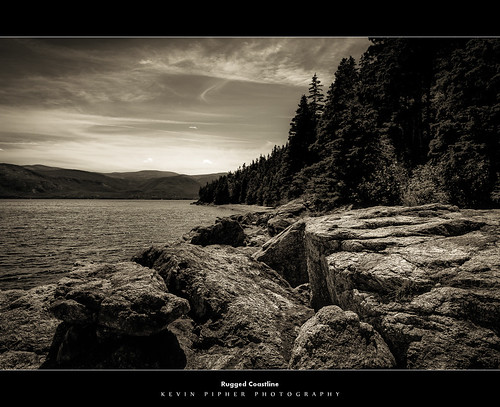
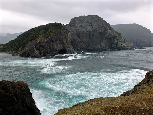
Rugged Coastline
DSC_0200 [640x480]
shoreline sunset bay mountains highdynamicrange larkharbor clouds hdr lrhdr canada manipulations scenic lightroomhdr ocean newfoundland locationrecorded weather water mountain
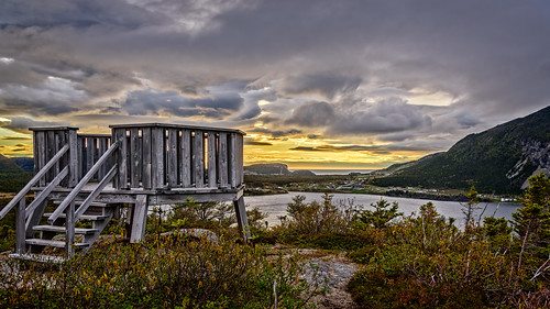
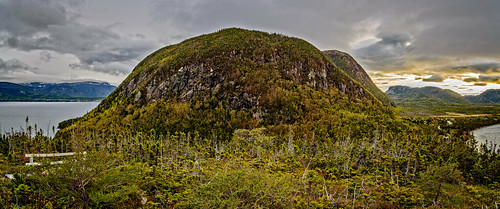
The observation deck atop the mountain
shoreline sunset bay mountains highdynamicrange larkharbor clouds hdr fog lrhdr weather ocean manipulations scenic lightroomhdr water newfoundland canada locationrecorded 2391 mountain
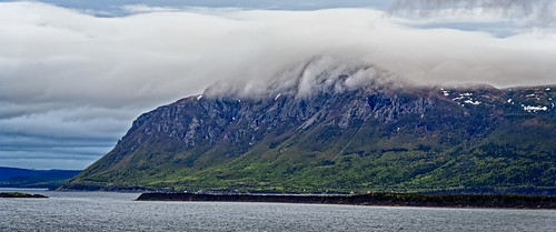
Fog rolls over the mountain on the opposite shore
shoreline sunset bay mountains highdynamicrange larkharbor clouds hdr lrhdr weather manipulations scenic lightroomhdr ocean newfoundland water canada locationrecorded mountain
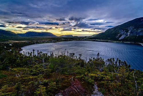
Looking over to Lark Harbor from the observation deck atop the mountain
shoreline water mountains highdynamicrange larkharbor clouds hdr lrhdr weather manipulations scenic lightroomhdr ocean newfoundland canada locationrecorded cliff mountain bw blackandwhite monochrome
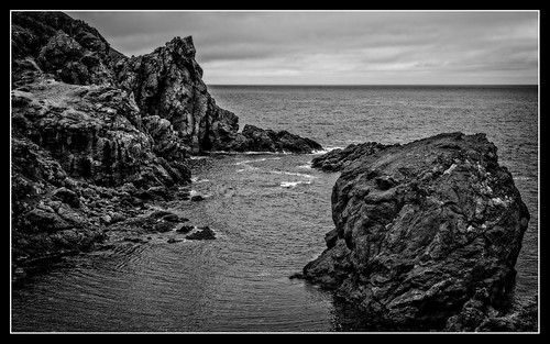
Miranda Cove and the start of Southhead Lighthouse Hiking Trail
shoreline sunset bay mountains highdynamicrange panorama larkharbor clouds hdr lrhdr weather ocean manipulations scenic lightroomhdr water newfoundland lightroompanorama canada locationrecorded mountain 2391
Looking over to Lark Harbor from the observation deck atop the mountain
lobsterboat shoreline activity powerboat water mountains industry larkharbor clouds commercialfishingboat hdr weather ocean lrhdr boat canada manipulations scenic lightroomhdr highdynamicrange newfoundland locationrecorded commercialfishing cliff mountain
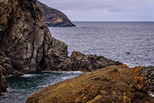
Fishermen Tending Lobster Pots At The Mouth of Miranda Cove - Small boat on a bold coast
Route 450, Newfoundland
Blomidon peak
newfoundland bottlecove
Bottle Cove, Newfoundland
nyc newyorkcity cruise canada ship geotag gem ncl norwegiancruiselines sonygpscs3ka
NCL Gem -15 Joe
2017 august canada canon canondslr canoneos7dmarkii dslr larkharbour newfoundland boat daytime harbour ocean outdoor shore summer newfoundlandandlabrador
Lark Harbour, Newfoundland
shoreline bay mountains larkharbor clouds ocean manipulations 2391 locationrecorded scenic weather canada newfoundland cove water cliff mountain
At The Mouth Of Bottle Cove
shoreline sunset bay mountains highdynamicrange larkharbor clouds hdr lrhdr on1raw weather manipulations scenic lightroomhdr ocean newfoundland water canada locationrecorded mountain cliff town landscape
Looking over to Lark Harbor from the observation deck atop the mountain
cedarcove westernnewfoundland
Wind Sculpted
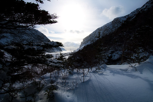
winter westernnewfoundland outerbayofislands
Cedar Cove 2
odc cedarcove westernnewfoundland ourdailychallenge
Daily Challenge - Begins with "F"
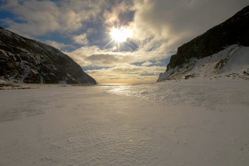
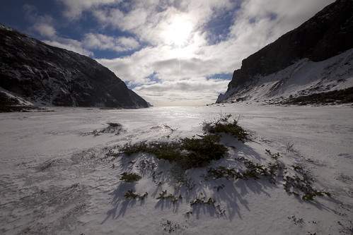
winter westernnewfoundland outerbayofislands
Cedar Cove
canada newfoundland
Storm at Bottle Cove