Elevation of Stephenville, NL, Canada
Location: Canada > Newfoundland And Labrador > Division No. 4 >
Longitude: -58.581535
Latitude: 48.5479718
Elevation: -10000m / -32808feet
Barometric Pressure: 295KPa
Elevation Map:
Satellite Map:
Related Photos:
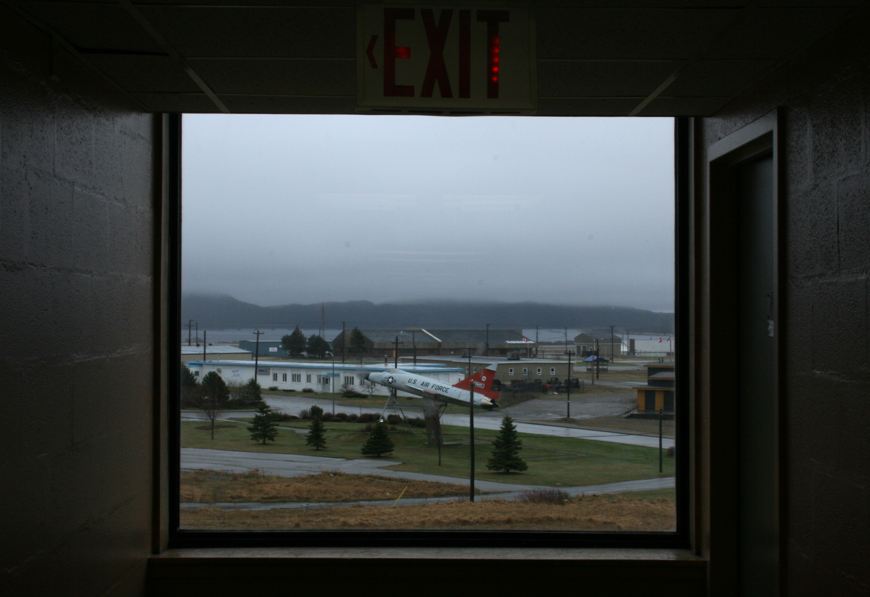
Foggy jet

DSC_0570 [640x480]

Gut Bridge

Harry's River meandering into autumn

Cranberry fields

Break away from shore

Route 490 Stephenville

Sunset over Stephenville

Sir Thomas Roddick

Campbell Avenue Stephenville

Home - Barachois Brook, NFLD

Indian head sunset

Newfoundland Beauty 2

Harry's River bog, NL

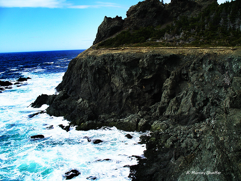
The Shores of Newfoundland

Port Harmon harbor panorama
Newfoundland Beauty 1

Sandy Point

Barachois Brook - NFLD

S'Ville

Terranova, Canadá.
Topographic Map of Stephenville, NL, Canada
Find elevation by address:

Places near Stephenville, NL, Canada:
Kippens Rd, Kippens, NL A2N 3P3, Canada
Noels Pond
34 NL-, Noels Pond, NL A0N 1S0, Canada
Port Au Port East
67 NL-, West Bay Centre, NL A0N 2E0, Canada
Stephenville Crossing
NL-, Highlands, NL A0N 1N0, Canada
Division No. 4, Subd. D
60 NL-, Highlands, NL A0N 1N0, Canada
Saint George's
25 Hayes Ln, Saint George's, NL A0N 1Z0, Canada
Main St, Aguathuna, NL A0N 1A0, Canada
Port Au Port West-aguathuna-felix Cove
Heatherton
NL-, Cape Saint George, NL A0N 1T1, Canada
Lourdes
Division No. 4, Subd. B
Division No. 4, Subd. E
Highlands
Division No. 4, Subd. C
Recent Searches:
- Elevation of Corso Fratelli Cairoli, 35, Macerata MC, Italy
- Elevation of Tallevast Rd, Sarasota, FL, USA
- Elevation of 4th St E, Sonoma, CA, USA
- Elevation of Black Hollow Rd, Pennsdale, PA, USA
- Elevation of Oakland Ave, Williamsport, PA, USA
- Elevation of Pedrógão Grande, Portugal
- Elevation of Klee Dr, Martinsburg, WV, USA
- Elevation of Via Roma, Pieranica CR, Italy
- Elevation of Tavkvetili Mountain, Georgia
- Elevation of Hartfords Bluff Cir, Mt Pleasant, SC, USA