Elevation of Humber Arm South, NL, Canada
Location: Canada > Newfoundland And Labrador > Division No. 5 >
Longitude: -58.135293
Latitude: 49.009886
Elevation: 8m / 26feet
Barometric Pressure: 101KPa
Elevation Map:
Satellite Map:
Related Photos:

Morning Calm
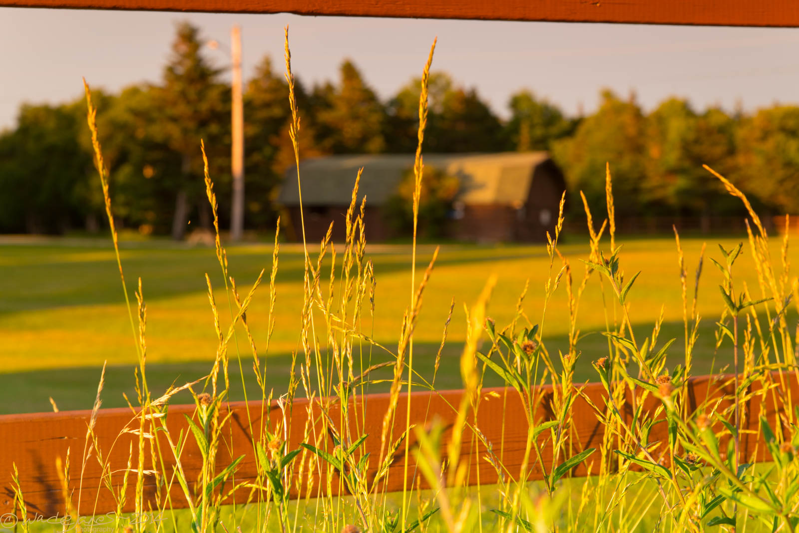
Barn view through the fence
DSC_0378 [640x480]
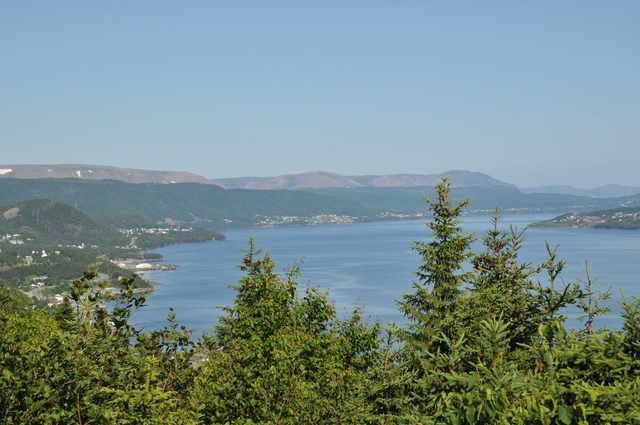
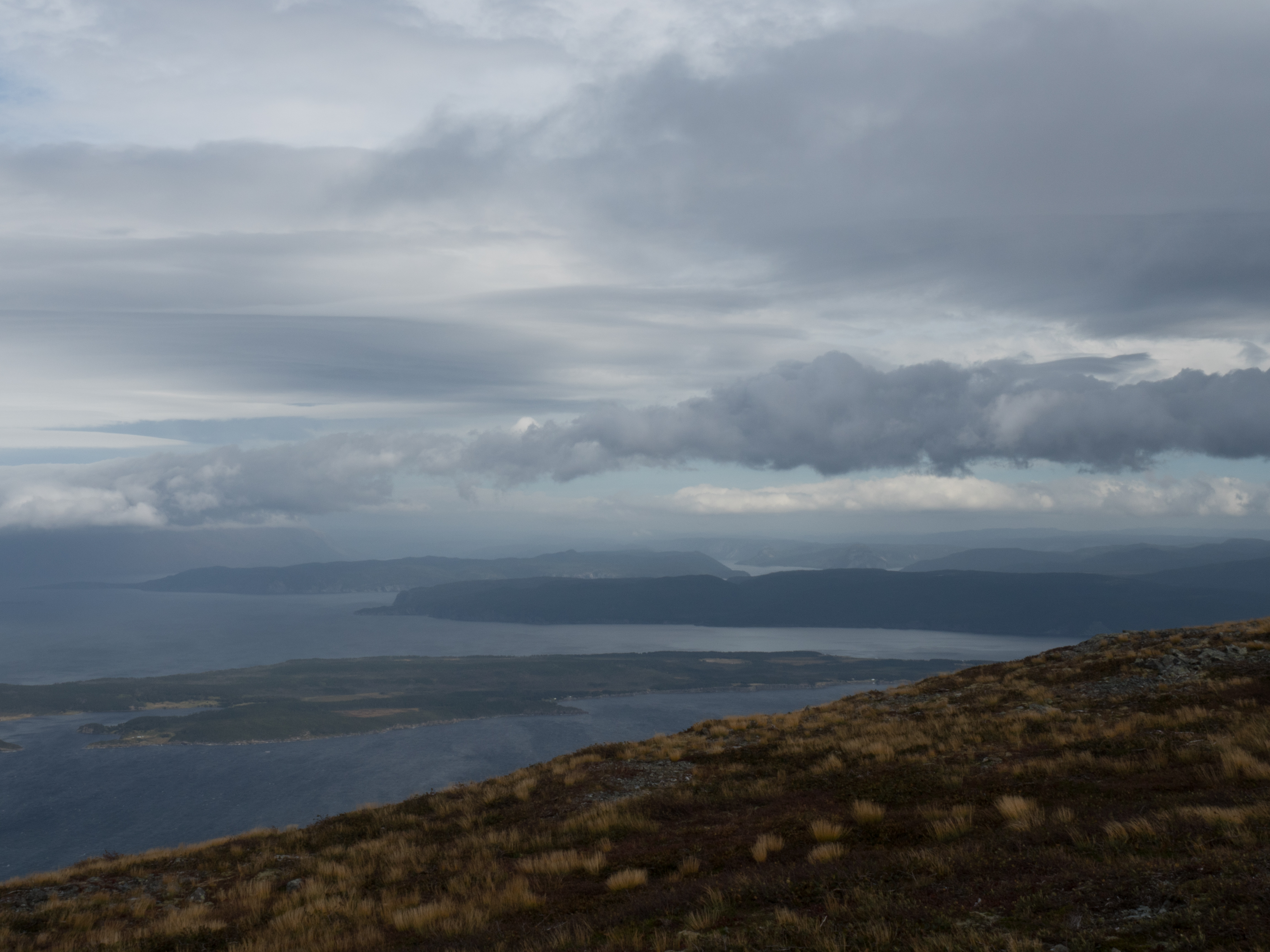
The view from Caribou Ridge
I've decided to walk to work on nice days.... Here's the view ;)
360° HDR Panorama: Central Street, Corner Brook, Newfoundland
Armstrong and Central, Corner Brook, NL
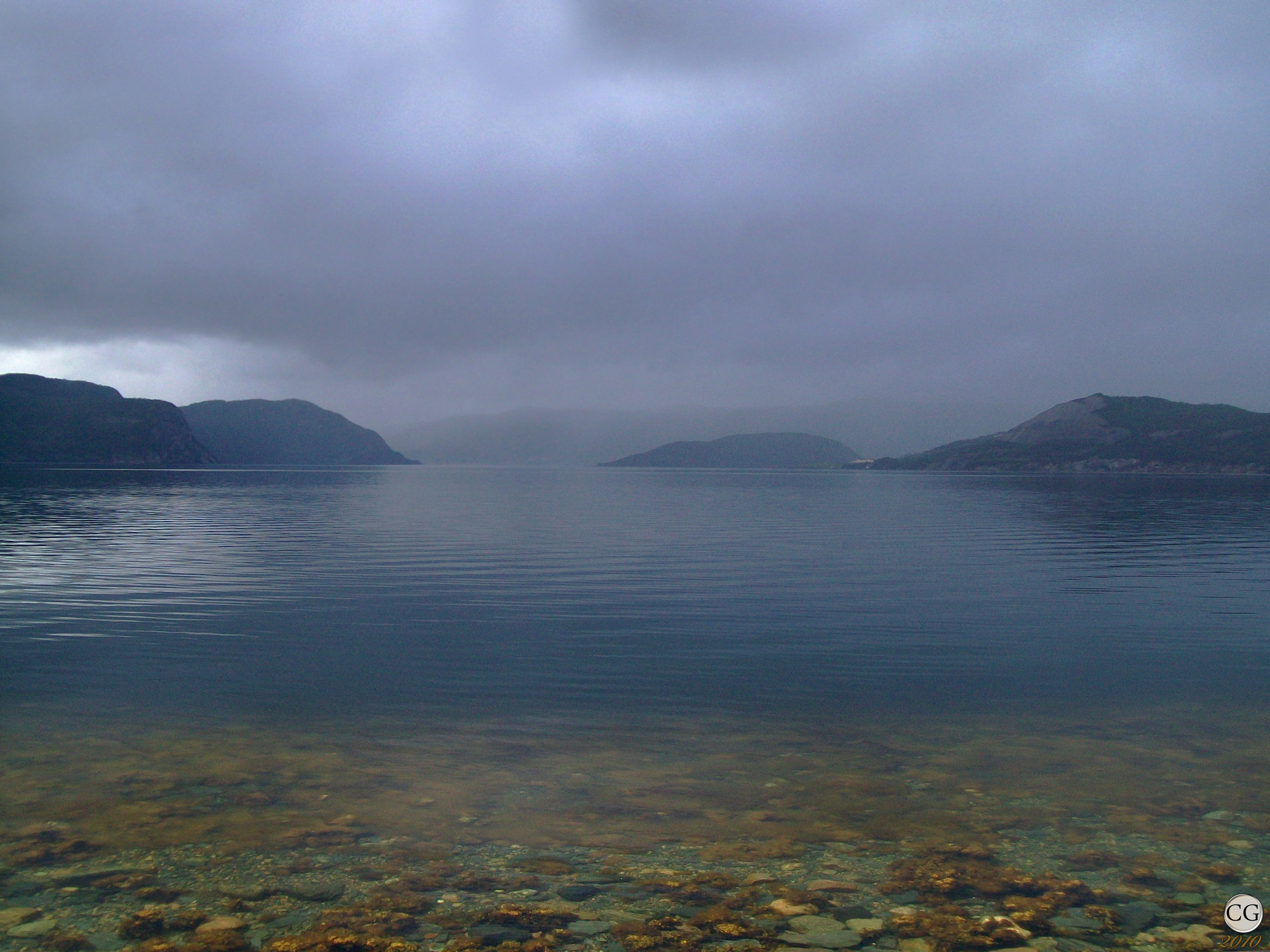
Sunset on the Humber River
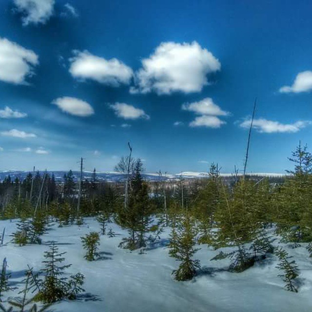
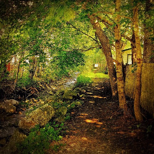
Gillams Nature Trail Winter
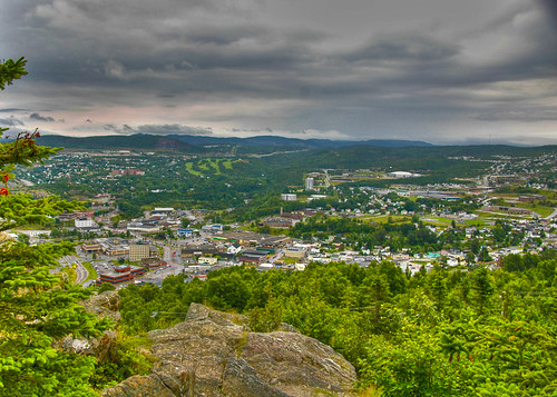
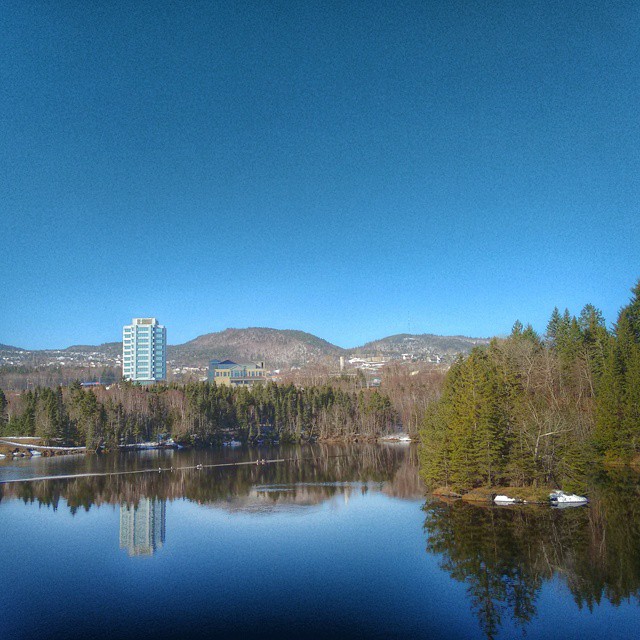
Moody Corner Brook Skyline
Cooks Brook
Green Day
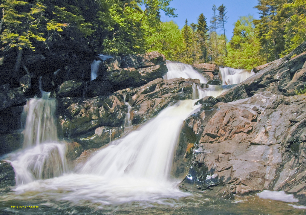
Gillams Heritage Trail Waterfalls
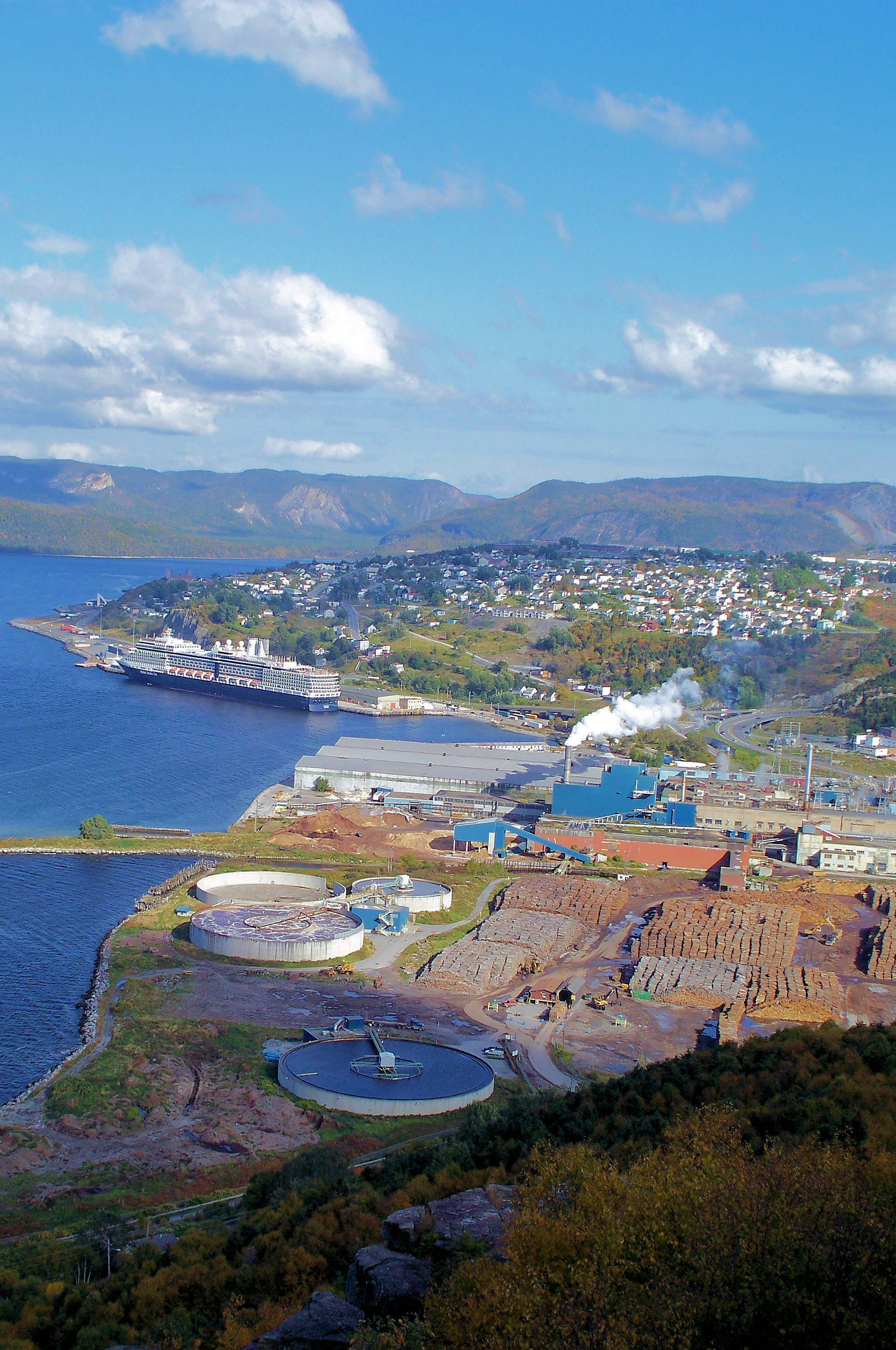
Corner Brook Clear 3
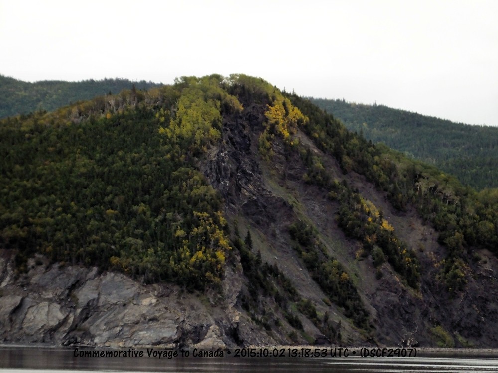
Cliff near Mciver's DSCF2907
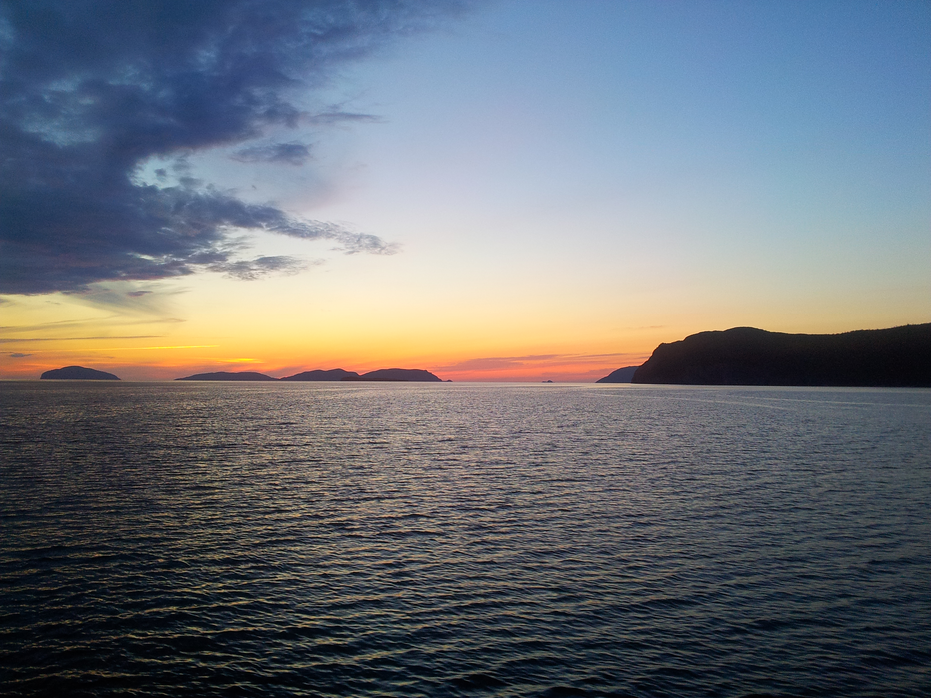
Amazing Sunset on the West Coast of Newfoundland.

NCL Gem -15 Joe

Corner Brook Cloudy 5
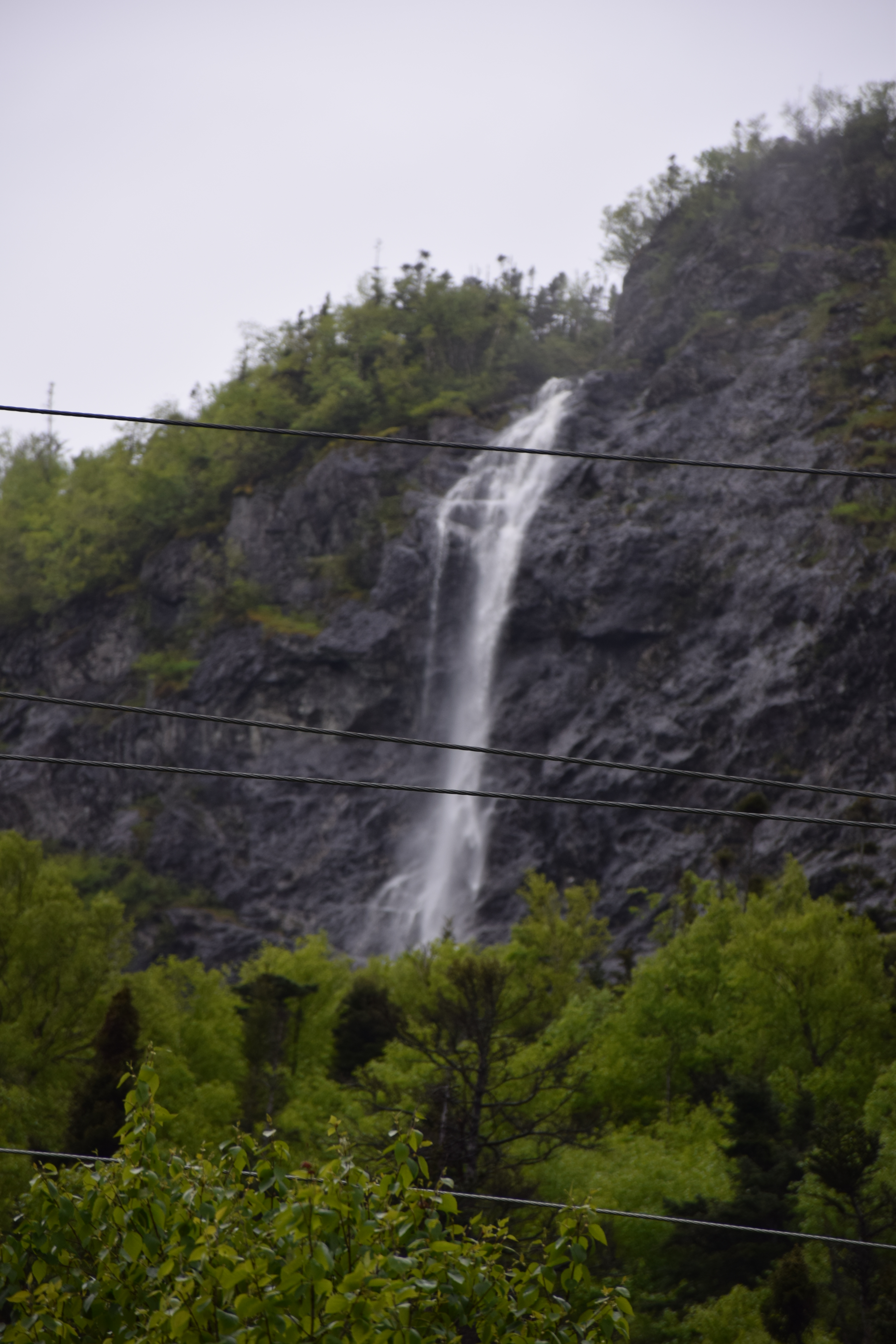
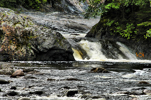
Waterfalls at Benoits Cove Newfoundland

Corner Brook Sunset
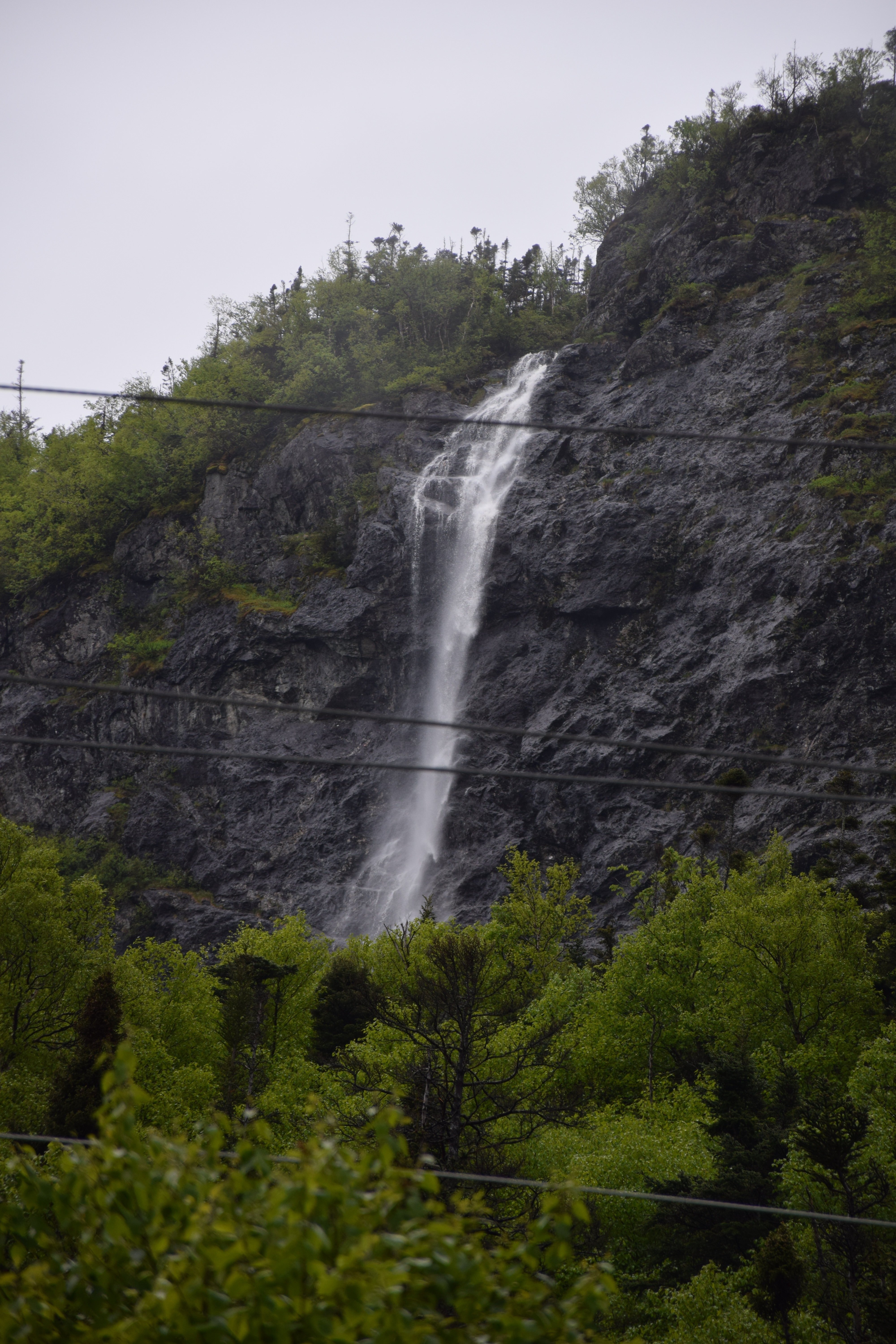
Waterfalls at Benoits Cove Newfoundland
Gros Morne National Park Newfoundland CA

Borrowed Black - 7

Copper Mine Trail, York Harbour, Newfoundland, Canada.

Cox's Cove
P9291392.jpg
Topographic Map of Humber Arm South, NL, Canada
Find elevation by address:

Places in Humber Arm South, NL, Canada:
Places near Humber Arm South, NL, Canada:
Benoit's Cove
NL-, Humber Arm South, NL A0L, Canada
Division No. 5, Subd. D
Porters Lane
3 Main St, Cox's Cove, NL A0L 1C0, Canada
Georgetown Rd, Corner Brook, NL A2H 3X1, Canada
22 Burtons Rd
Lundrigan Drive
26 Caribou Rd
Corner Brook
16 Union St
22 Hillcrest Rd
Hillcrest Road
Grenfell Campus
13 Brookfield Ave
Murphy Square
16 NL-, Lark Harbour, NL A0L, Canada
Lark Harbour
Lark Harbour
Lark Harbour
Recent Searches:
- Elevation of Corso Fratelli Cairoli, 35, Macerata MC, Italy
- Elevation of Tallevast Rd, Sarasota, FL, USA
- Elevation of 4th St E, Sonoma, CA, USA
- Elevation of Black Hollow Rd, Pennsdale, PA, USA
- Elevation of Oakland Ave, Williamsport, PA, USA
- Elevation of Pedrógão Grande, Portugal
- Elevation of Klee Dr, Martinsburg, WV, USA
- Elevation of Via Roma, Pieranica CR, Italy
- Elevation of Tavkvetili Mountain, Georgia
- Elevation of Hartfords Bluff Cir, Mt Pleasant, SC, USA