Elevation of State Hwy 9, Clinton, AR, USA
Location: United States > Arkansas > Van Buren County > Formosa Township >
Longitude: -92.486990
Latitude: 35.4873875
Elevation: 203m / 666feet
Barometric Pressure: 99KPa
Elevation Map:
Satellite Map:
Related Photos:

Pee Dee Creek-Side View

#early #morning view of the #courthouse #townsquare in #downtown #clinton #arkansas #igersarkansas

Herd Approaching

Arkansas Sunset

CHUCKWAGON RACES

CHUCKWAGON RACES

CHUCKWAGON RACES

Center Ridge, Arkansas

Southern Ozark Landscape (Conway County, Arkansas)

CHUCKWAGON RACES

Center Ridge, Arkansas
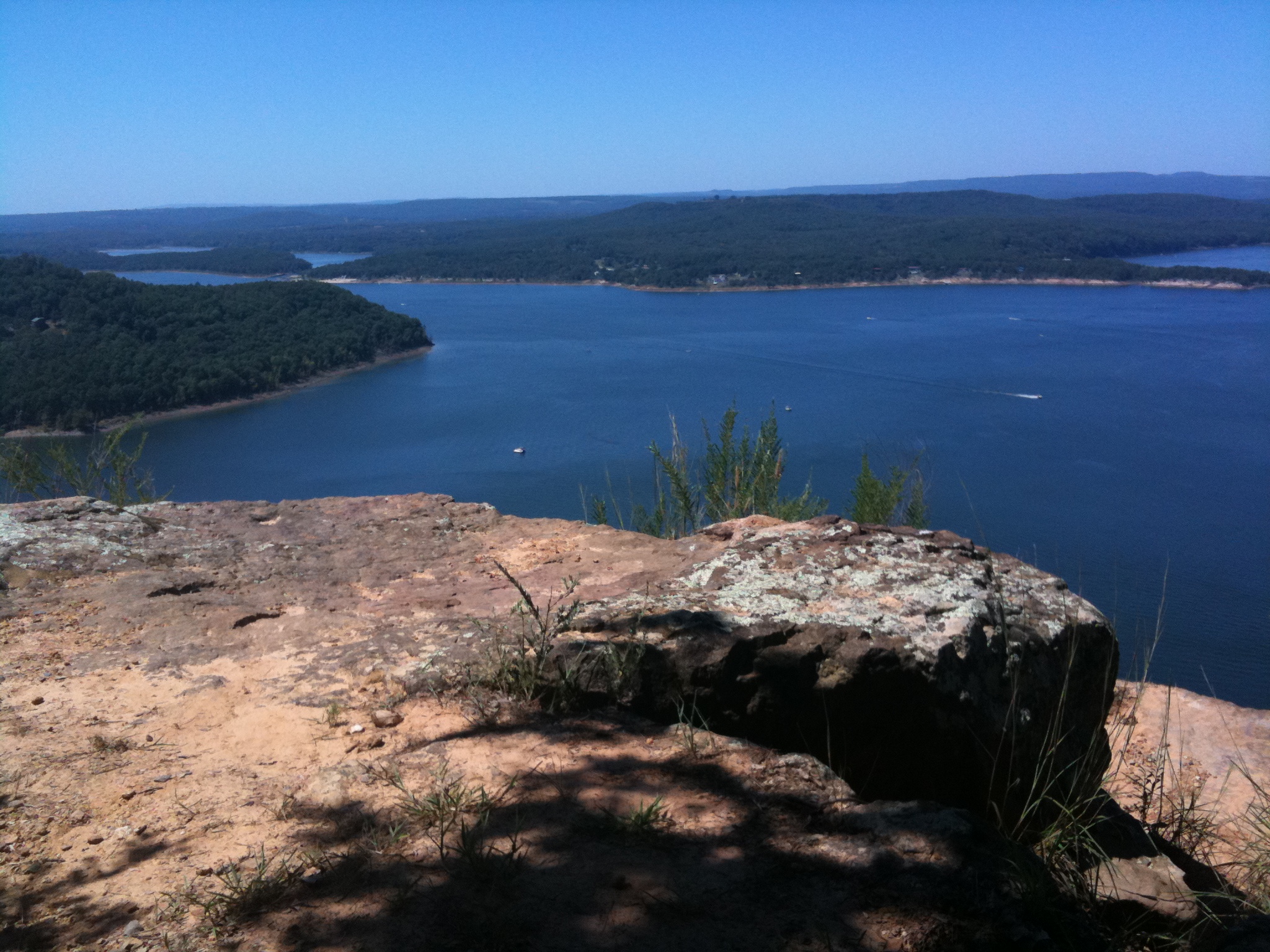
Greer's Ferry Lake

Choctaw Rec Area Sunrise

2013-10-13 at 08-29-44.jpg

Hanging out. :-)
Topographic Map of State Hwy 9, Clinton, AR, USA
Find elevation by address:

Places near State Hwy 9, Clinton, AR, USA:
4682 Ar-9
Formosa Township
AR-9, Clinton, AR, USA
Grassy Hollow Road
AR-9, Center Ridge, AR, USA
Center Ridge
Dayton Rd, Cleveland, AR, USA
Lick Mountain Township
Co Hwy, Center Ridge, AR, USA
26 Lucy Ln
4621 Ar-95
39 Middleton Rd, Center Ridge, AR, USA
Scotland, AR, USA
Cleveland
Nichols Township
AR-95, Cleveland, AR, USA
Lanty Rd, Solgohachia, AR, USA
3733 Ar-287
Jerusalem Rd, Jerusalem, AR, USA
393 Jerusalem Rd
Recent Searches:
- Elevation of Corso Fratelli Cairoli, 35, Macerata MC, Italy
- Elevation of Tallevast Rd, Sarasota, FL, USA
- Elevation of 4th St E, Sonoma, CA, USA
- Elevation of Black Hollow Rd, Pennsdale, PA, USA
- Elevation of Oakland Ave, Williamsport, PA, USA
- Elevation of Pedrógão Grande, Portugal
- Elevation of Klee Dr, Martinsburg, WV, USA
- Elevation of Via Roma, Pieranica CR, Italy
- Elevation of Tavkvetili Mountain, Georgia
- Elevation of Hartfords Bluff Cir, Mt Pleasant, SC, USA