Elevation of 39 Middleton Rd, Center Ridge, AR, USA
Location: United States > Arkansas > Conway County > Bird Township >
Longitude: -92.621142
Latitude: 35.341111
Elevation: 192m / 630feet
Barometric Pressure: 99KPa
Elevation Map:
Satellite Map:
Related Photos:
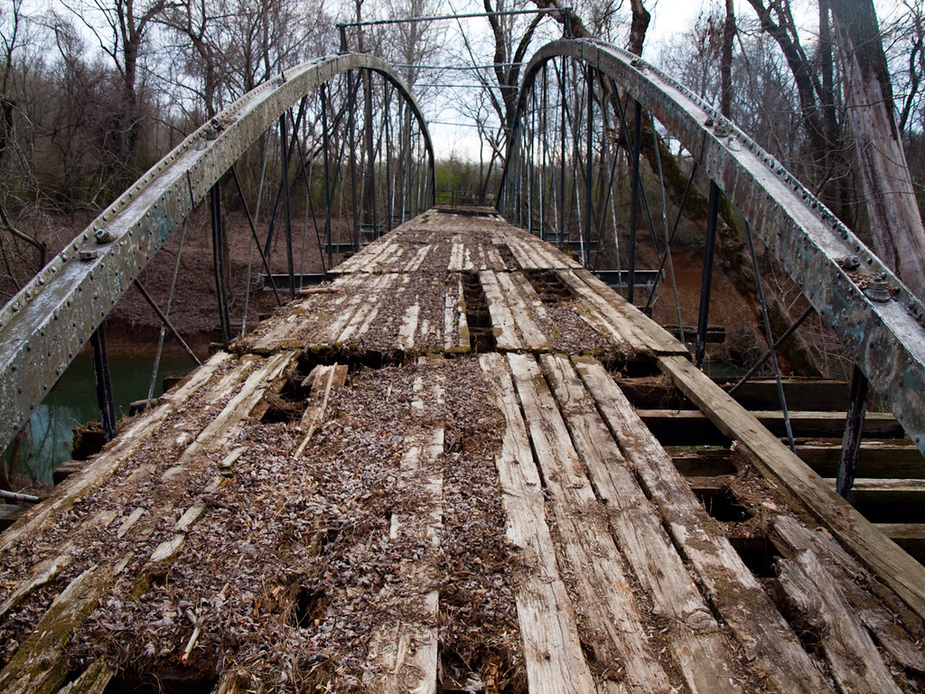
Springfield Bridge

Springfield Bridge

2013-10-13 at 08-29-44.jpg
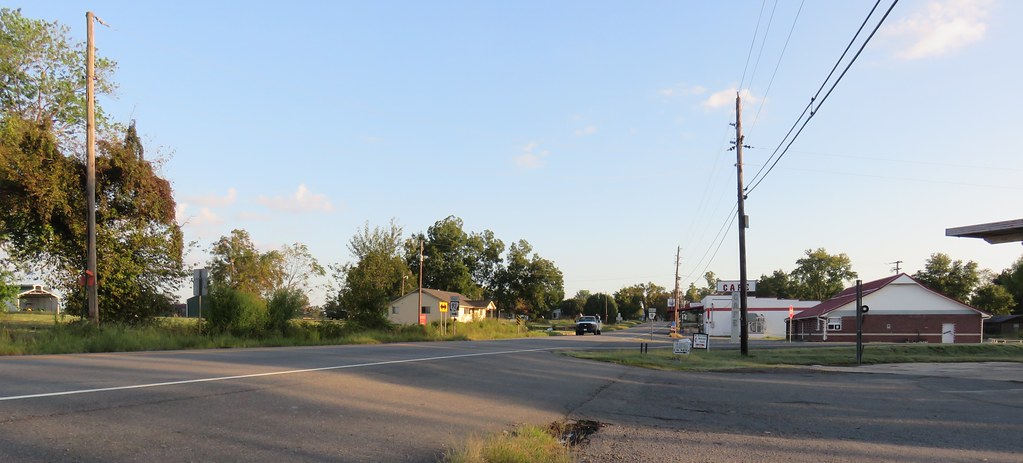
Center Ridge, Arkansas
Center Ridge, Arkansas
Southern Ozark Landscape (Conway County, Arkansas)
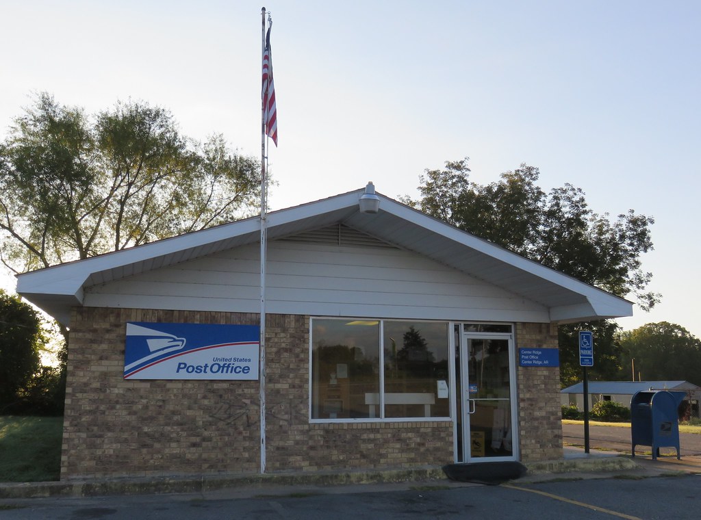
Post Office 72027 (Center Ridge, Arkansas)
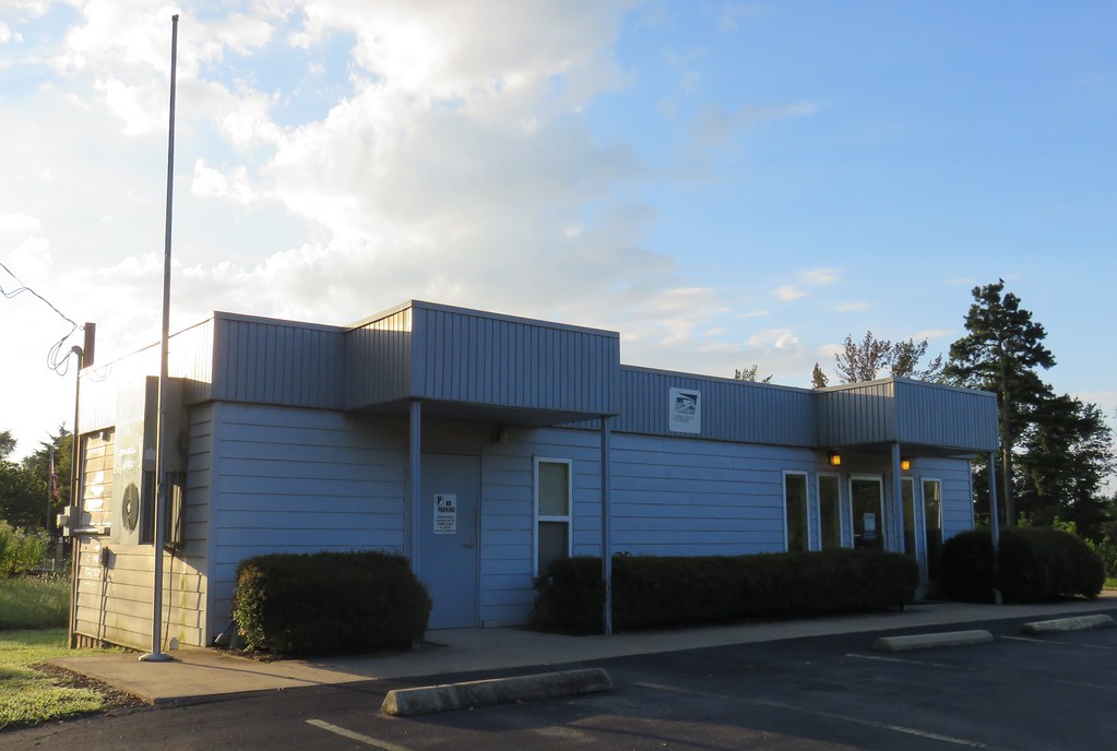
Post Office 72156 (Solgohachia, Arkansas)

unsafe passage

Springfield Bridge
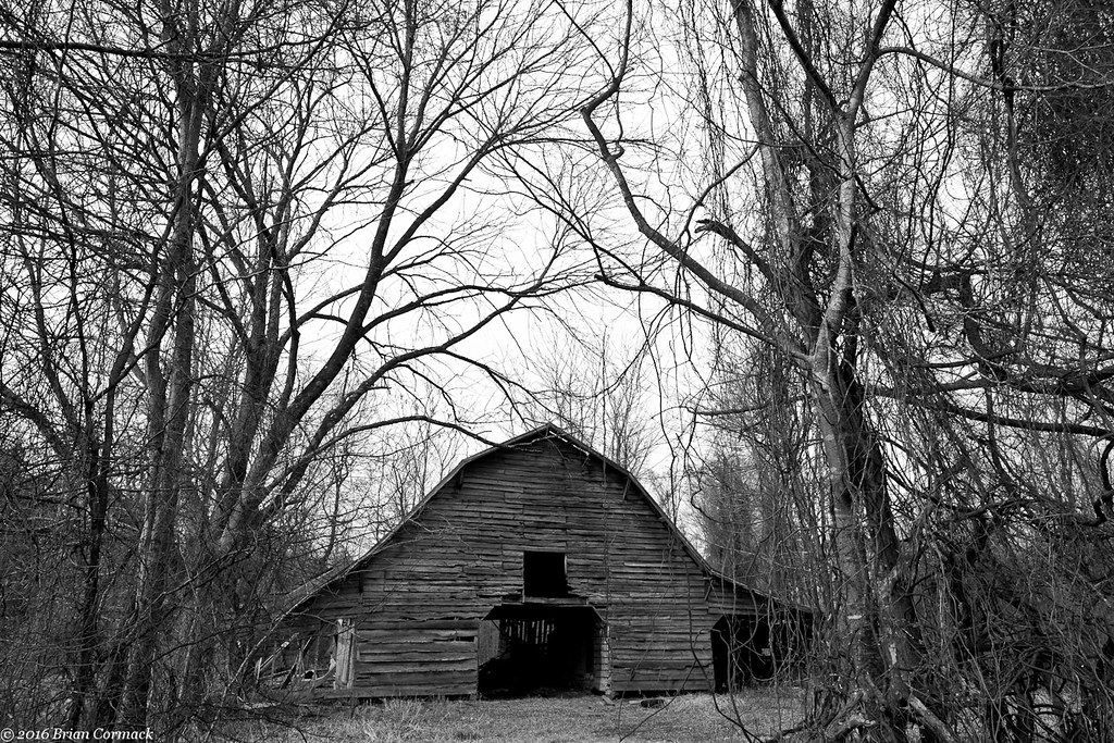
Where The Barns Have No Name

#cedar #creek on #petitjean #mountain #statepark

Autumn's last gasp

2013-12-07 11.07.48

2013-12-23 06.16.00

2014-03-21 10.58.22

2014-03-23 08.28.25

2013-10-06 07.42.47

2013-10-08 09.52.00

2013-10-08 10.08.15

2013-10-10 07.16.03

2013-10-10 10.42.54

2013-10-10 12.58.38

2013-10-20 08.39.00
Topographic Map of 39 Middleton Rd, Center Ridge, AR, USA
Find elevation by address:

Places near 39 Middleton Rd, Center Ridge, AR, USA:
Lick Mountain Township
26 Lucy Ln
Lanty Rd, Solgohachia, AR, USA
Center Ridge
AR-9, Center Ridge, AR, USA
Co Hwy, Center Ridge, AR, USA
3733 Ar-287
AR-95, Cleveland, AR, USA
4621 Ar-95
Cleveland
Nichols Township
Dayton Rd, Cleveland, AR, USA
AR-9, Clinton, AR, USA
Scotland, AR, USA
Jerusalem Rd, Jerusalem, AR, USA
Grassy Hollow Road
Formosa Township
393 Jerusalem Rd
Griffin Township
4682 Ar-9
Recent Searches:
- Elevation of Corso Fratelli Cairoli, 35, Macerata MC, Italy
- Elevation of Tallevast Rd, Sarasota, FL, USA
- Elevation of 4th St E, Sonoma, CA, USA
- Elevation of Black Hollow Rd, Pennsdale, PA, USA
- Elevation of Oakland Ave, Williamsport, PA, USA
- Elevation of Pedrógão Grande, Portugal
- Elevation of Klee Dr, Martinsburg, WV, USA
- Elevation of Via Roma, Pieranica CR, Italy
- Elevation of Tavkvetili Mountain, Georgia
- Elevation of Hartfords Bluff Cir, Mt Pleasant, SC, USA