Elevation of Center Ridge, AR, USA
Location: United States > Arkansas > Conway County > Lick Mountain Township >
Longitude: -92.563537
Latitude: 35.3738701
Elevation: 230m / 755feet
Barometric Pressure: 99KPa
Elevation Map:
Satellite Map:
Related Photos:
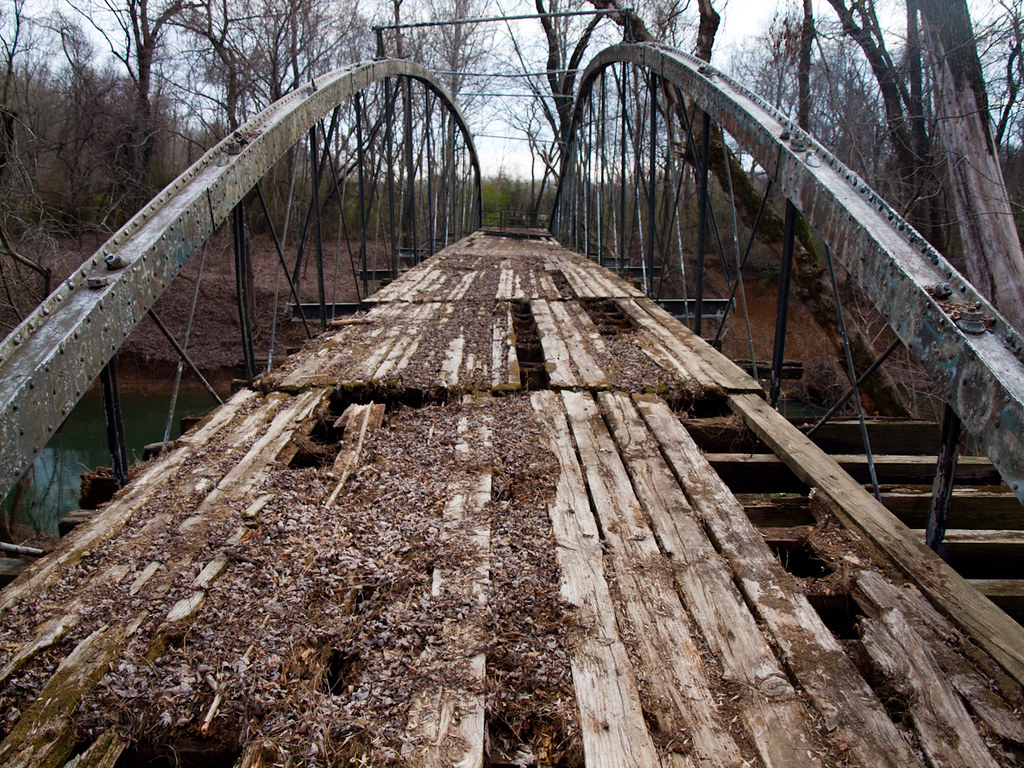
Springfield Bridge
Batesville Creek-Side View

Herd Approaching

Arkansas Sunset
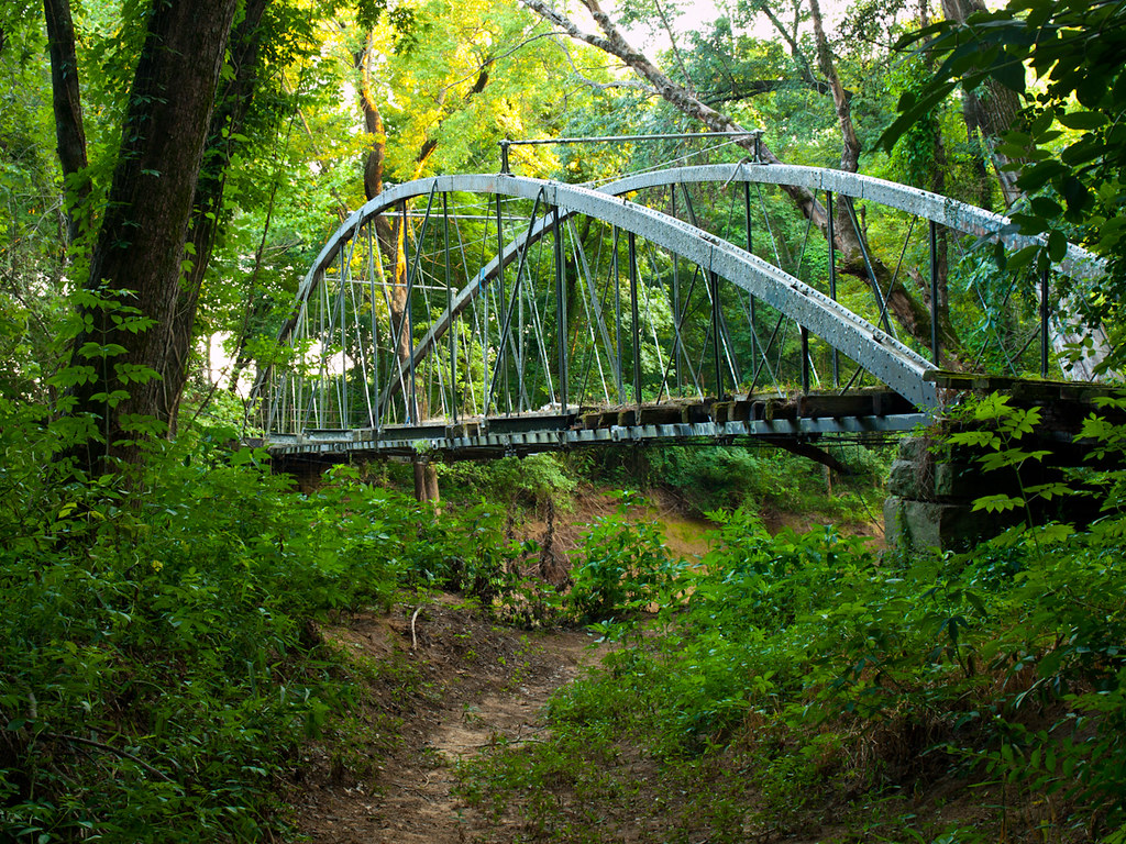
Springfield Bridge

2013-10-13 at 08-29-44.jpg
unsafe passage
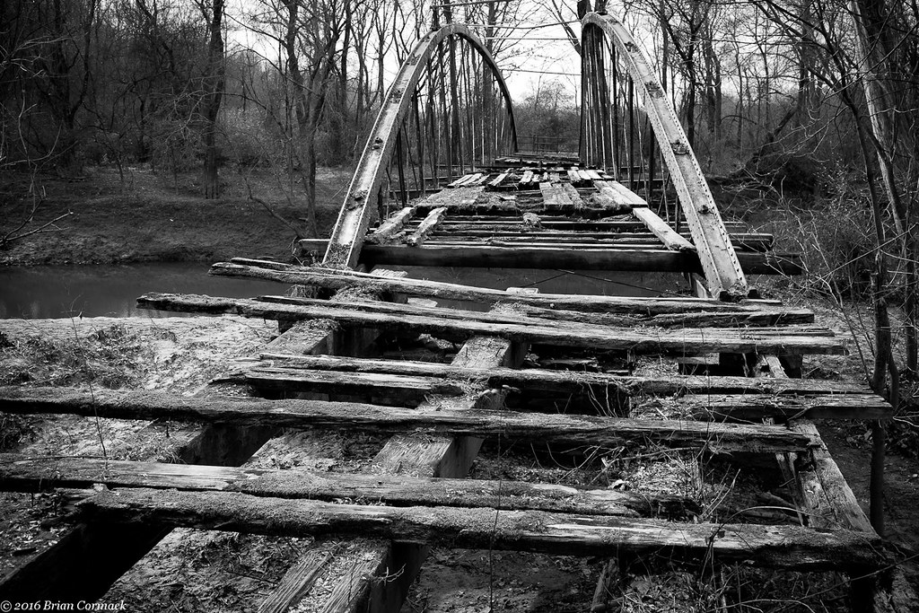
Springfield Bridge
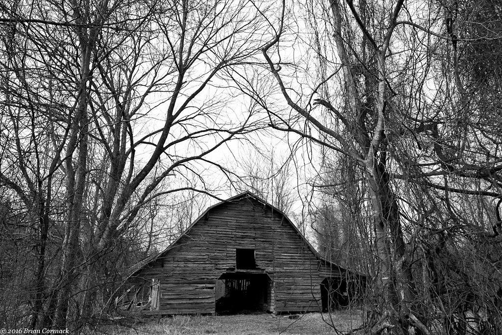
Where The Barns Have No Name
All That You Can't Leave Behind
With Or Without You
#cedar #creek on #petitjean #mountain #statepark
Autumn's last gasp

Besökare Samtidigt
2013-10-13 at 10-55-34.jpg
2013-10-13 at 10-55-04.jpg
2013-10-13 at 10-53-03.jpg

2013-10-13 at 08-29-37.jpg
2013-10-13 at 07-35-02.jpg
2013-10-13 at 07-34-47.jpg
2013-10-13 at 07-16-54.jpg

2013-10-12 at 20-32-05.jpg

2013-10-12 at 20-03-07.jpg

2013-10-12 at 19-58-32.jpg
Topographic Map of Center Ridge, AR, USA
Find elevation by address:

Places in Center Ridge, AR, USA:
Places near Center Ridge, AR, USA:
AR-9, Center Ridge, AR, USA
26 Lucy Ln
Co Hwy, Center Ridge, AR, USA
Lick Mountain Township
39 Middleton Rd, Center Ridge, AR, USA
AR-9, Clinton, AR, USA
Formosa Township
Lanty Rd, Solgohachia, AR, USA
Grassy Hollow Road
Dayton Rd, Cleveland, AR, USA
4621 Ar-95
4682 Ar-9
4378 State Hwy 9
3733 Ar-287
AR-95, Cleveland, AR, USA
Cleveland
Nichols Township
Scotland, AR, USA
Jerusalem Rd, Jerusalem, AR, USA
393 Jerusalem Rd
Recent Searches:
- Elevation of Corso Fratelli Cairoli, 35, Macerata MC, Italy
- Elevation of Tallevast Rd, Sarasota, FL, USA
- Elevation of 4th St E, Sonoma, CA, USA
- Elevation of Black Hollow Rd, Pennsdale, PA, USA
- Elevation of Oakland Ave, Williamsport, PA, USA
- Elevation of Pedrógão Grande, Portugal
- Elevation of Klee Dr, Martinsburg, WV, USA
- Elevation of Via Roma, Pieranica CR, Italy
- Elevation of Tavkvetili Mountain, Georgia
- Elevation of Hartfords Bluff Cir, Mt Pleasant, SC, USA