Elevation of Nichols Township, AR, USA
Location: United States > Arkansas > Conway County >
Longitude: -92.718272
Latitude: 35.4258056
Elevation: 212m / 696feet
Barometric Pressure: 99KPa
Elevation Map:
Satellite Map:
Related Photos:
thundering waters

Ladderbucket Falls
Spring Rains bring Big Flow
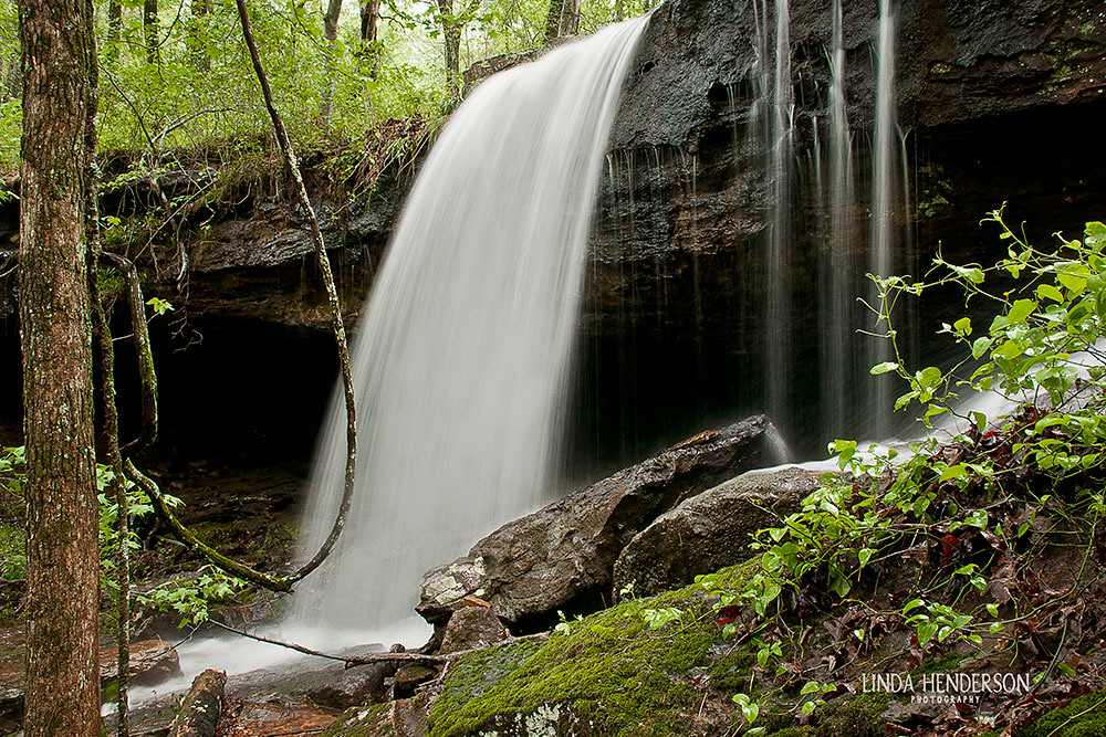
Ladder Bucket Falls (the top half)
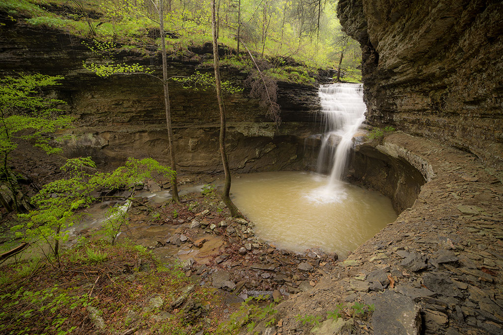
Morning in the Blue Hole

Ladderbucket Hollow

While out shooting waterfalls yesterday

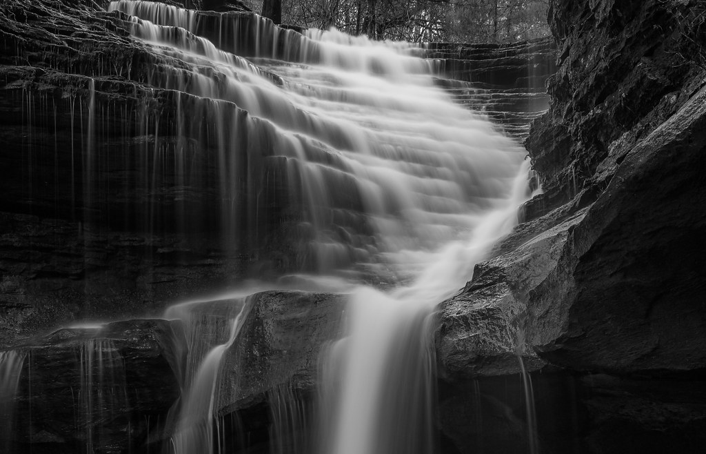
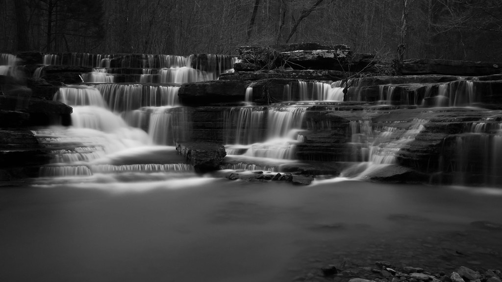
Falls in Black and White
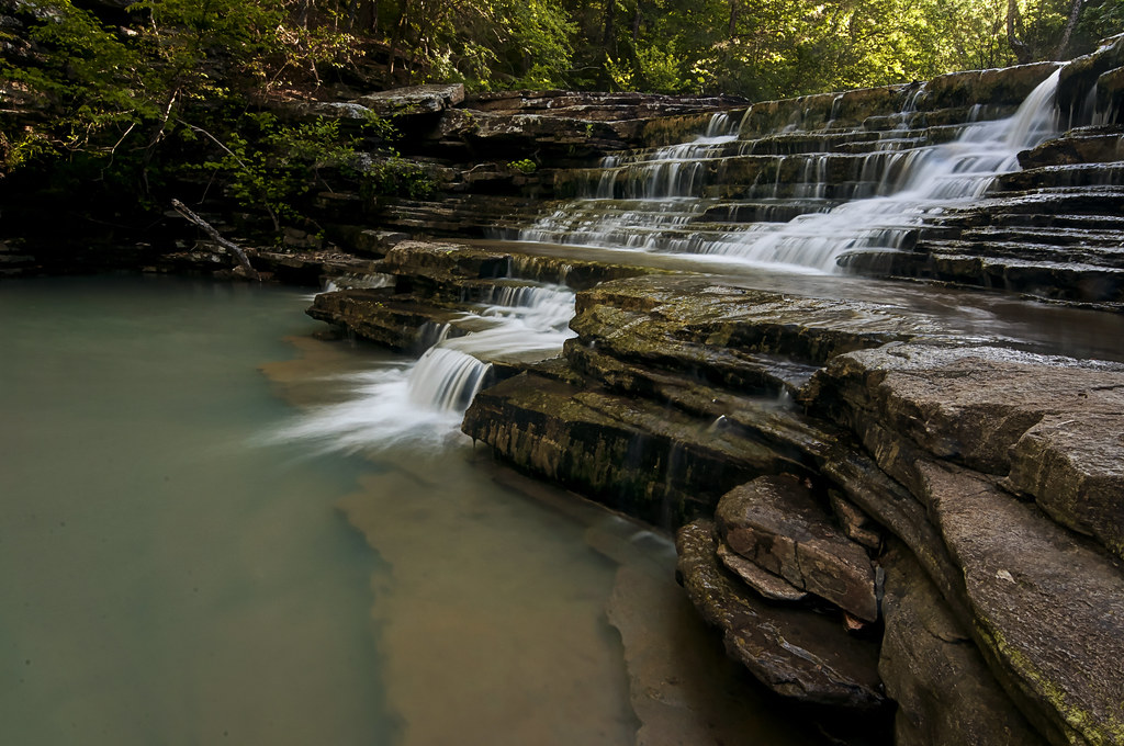
Blue Hole South Falls

#ponderosa new fire pit

#ponderosa living
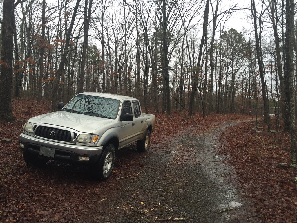
Ladderbucket Tacoma
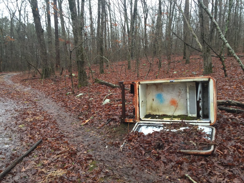
Ladderbucket Fridge

Ladderbucket Hollow, bluffs, and cave
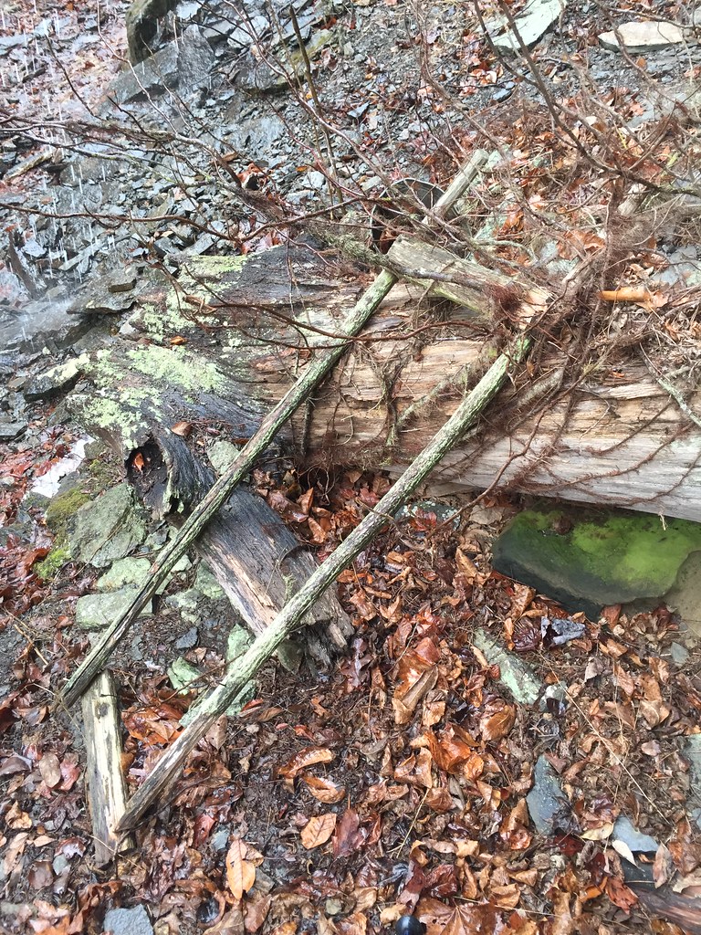
The actual ladderbucket.

Ladderbucket Hollow

2013-11-30 14.02.56

2013-12-06 08.46.21

2013-12-07 11.07.48

2013-12-07 11.08.10

2013-12-07 12.06.35

2013-12-15 07.55.33
2013-12-16 09.46.17

2013-12-18 08.03.06
Topographic Map of Nichols Township, AR, USA
Find elevation by address:

Places in Nichols Township, AR, USA:
Places near Nichols Township, AR, USA:
Cleveland
AR-95, Cleveland, AR, USA
4621 Ar-95
3733 Ar-287
Jerusalem Rd, Jerusalem, AR, USA
393 Jerusalem Rd
Griffin Township
Scotland, AR, USA
Lanty Rd, Solgohachia, AR, USA
Dayton Rd, Cleveland, AR, USA
Lick Mountain Township
39 Middleton Rd, Center Ridge, AR, USA
Center Ridge
AR-9, Center Ridge, AR, USA
26 Lucy Ln
Co Hwy, Center Ridge, AR, USA
Grassy Hollow Road
AR-9, Clinton, AR, USA
Formosa Township
4682 Ar-9
Recent Searches:
- Elevation of Corso Fratelli Cairoli, 35, Macerata MC, Italy
- Elevation of Tallevast Rd, Sarasota, FL, USA
- Elevation of 4th St E, Sonoma, CA, USA
- Elevation of Black Hollow Rd, Pennsdale, PA, USA
- Elevation of Oakland Ave, Williamsport, PA, USA
- Elevation of Pedrógão Grande, Portugal
- Elevation of Klee Dr, Martinsburg, WV, USA
- Elevation of Via Roma, Pieranica CR, Italy
- Elevation of Tavkvetili Mountain, Georgia
- Elevation of Hartfords Bluff Cir, Mt Pleasant, SC, USA