Elevation map of Arkansas, USA
Location: United States >
Longitude: -91.831833
Latitude: 35.20105
Elevation: 141m / 463feet
Barometric Pressure: 100KPa
Elevation Map:
Satellite Map:
Related Photos:

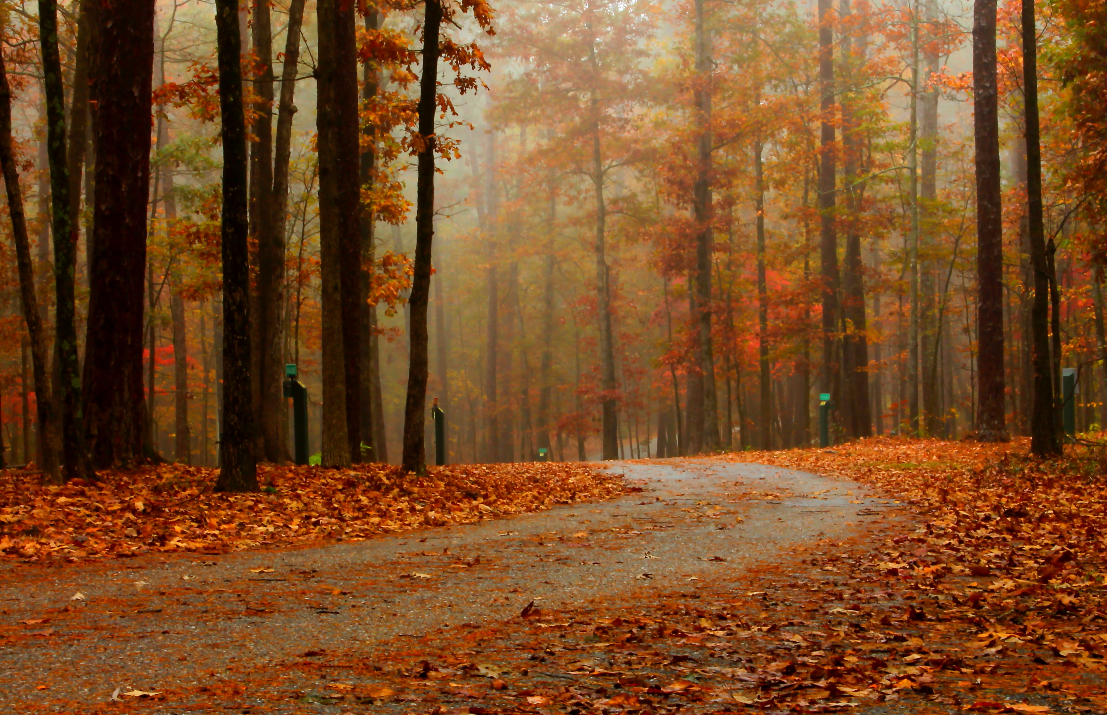
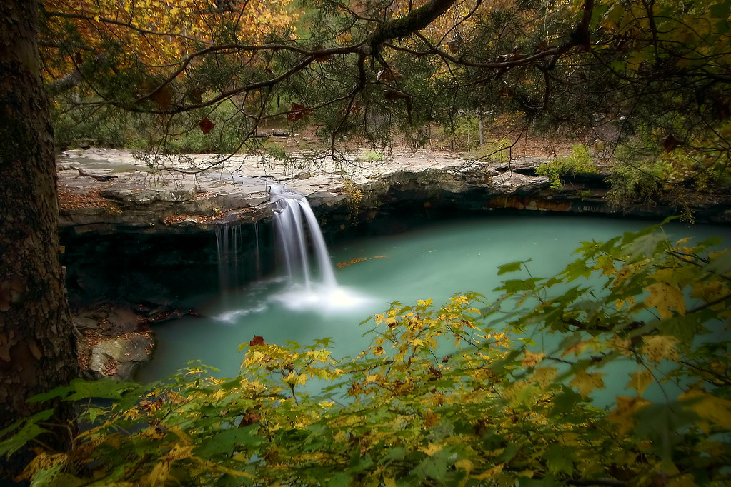
Early Autumn Stream

In My Element

iPhone morning 21 May 2014
Natural Dam

Quality Time
Exploring Arkansas with Matt Kennedy
23/52 (2015): Pedestal Rocks, Arkansas.

iPhone morning

Monarch Beauty...

Ozark Roadways

iPhone morning
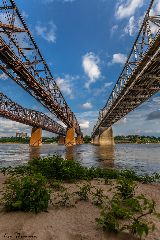
Crossing muddy waters
campsites at degray lake

Diverse Point of View

“Poetry is an echo, asking a shadow to dance.” Carl Sandburg

Last of the Color?

Americana!

October 21, 2013
View From Beach...
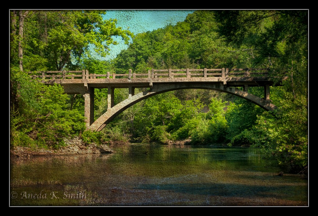
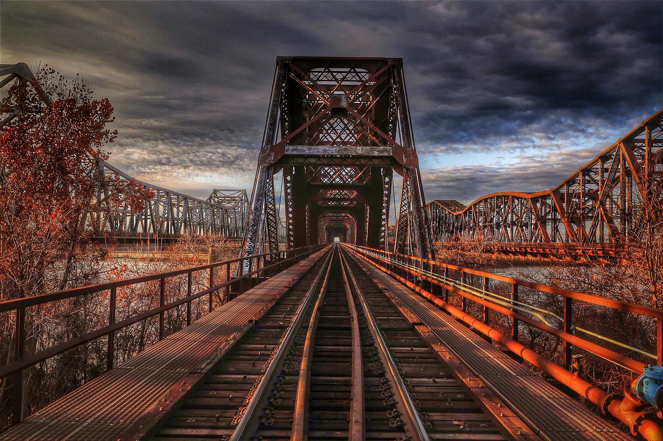
Textured Bridge Arkansas
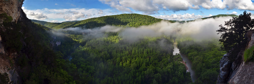
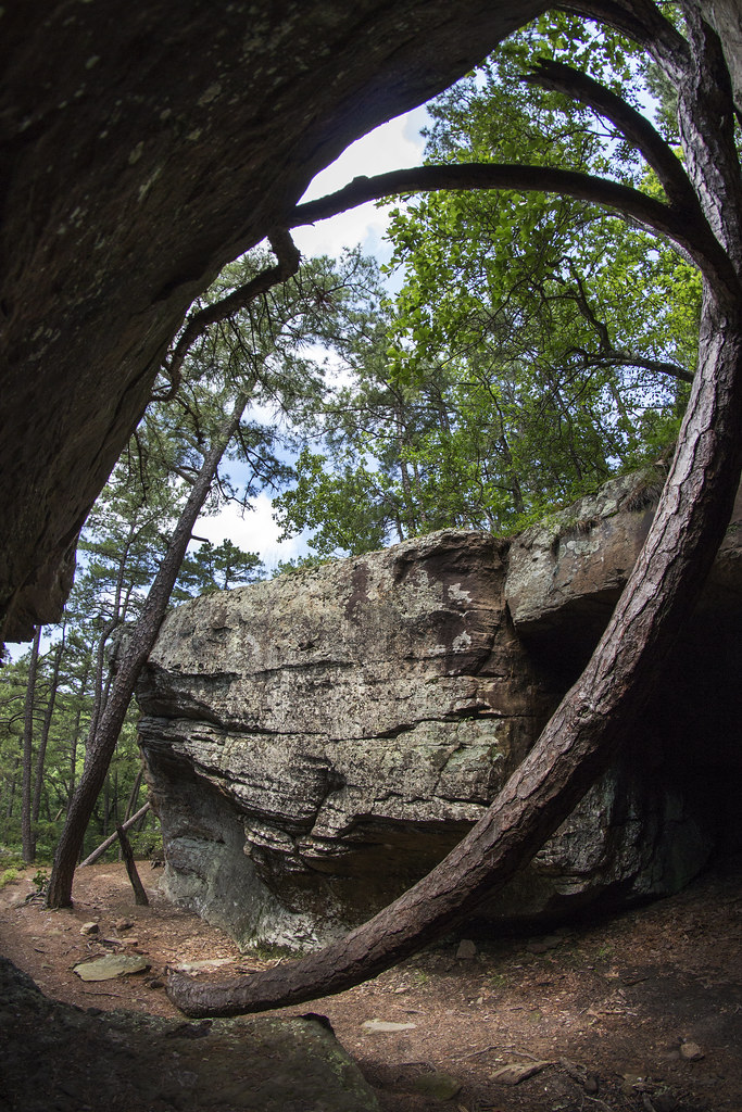
The Goat Trail
A Dream Goes on Forever
White Rock Creek Cascade
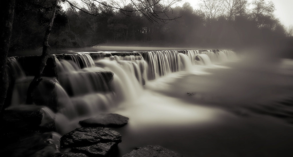
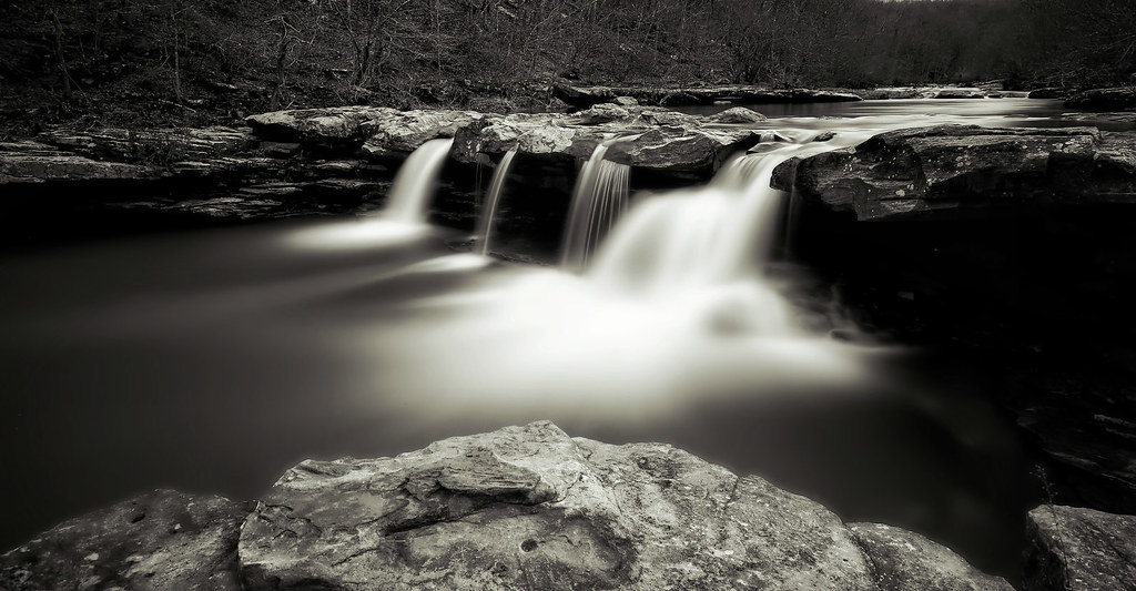
falls in black and white
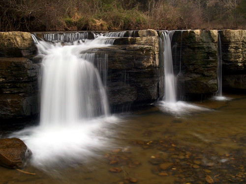
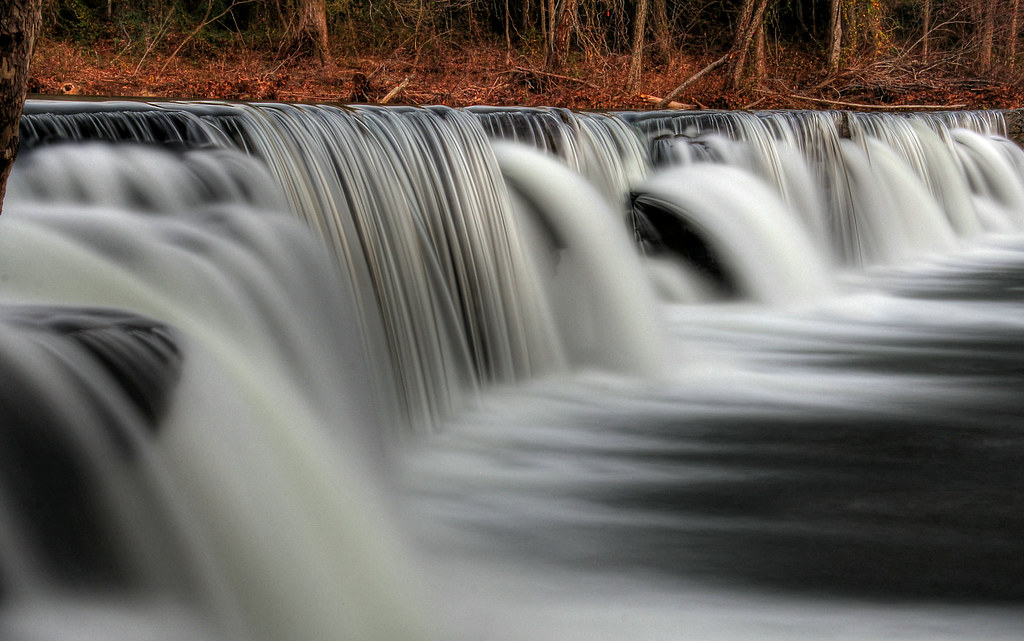
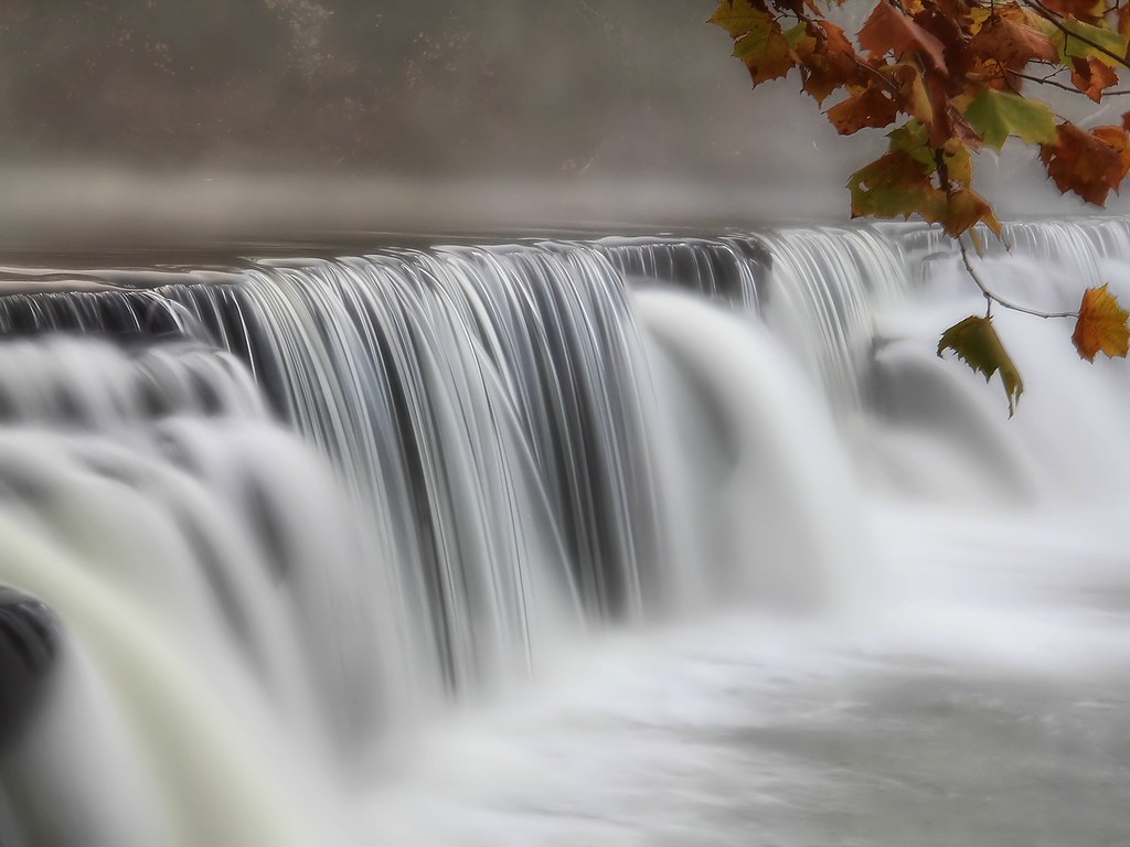
Falling Water Falls

White Rock Creek
Fall at Falling Water Falls
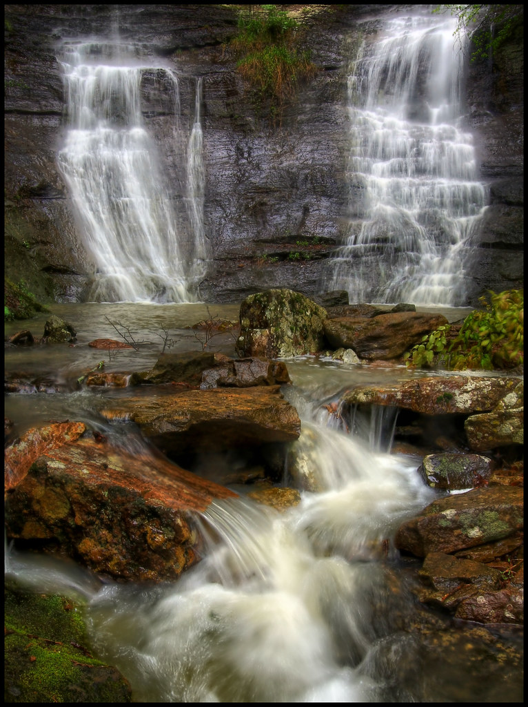
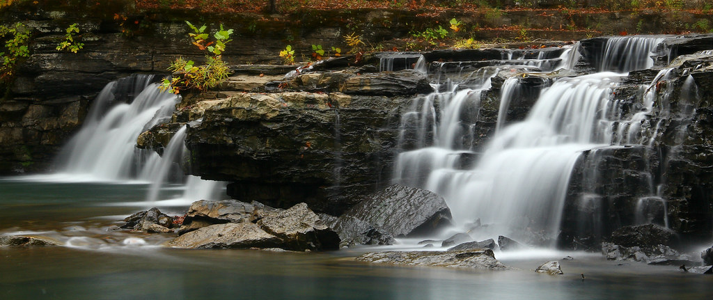
High Bank Twins falls

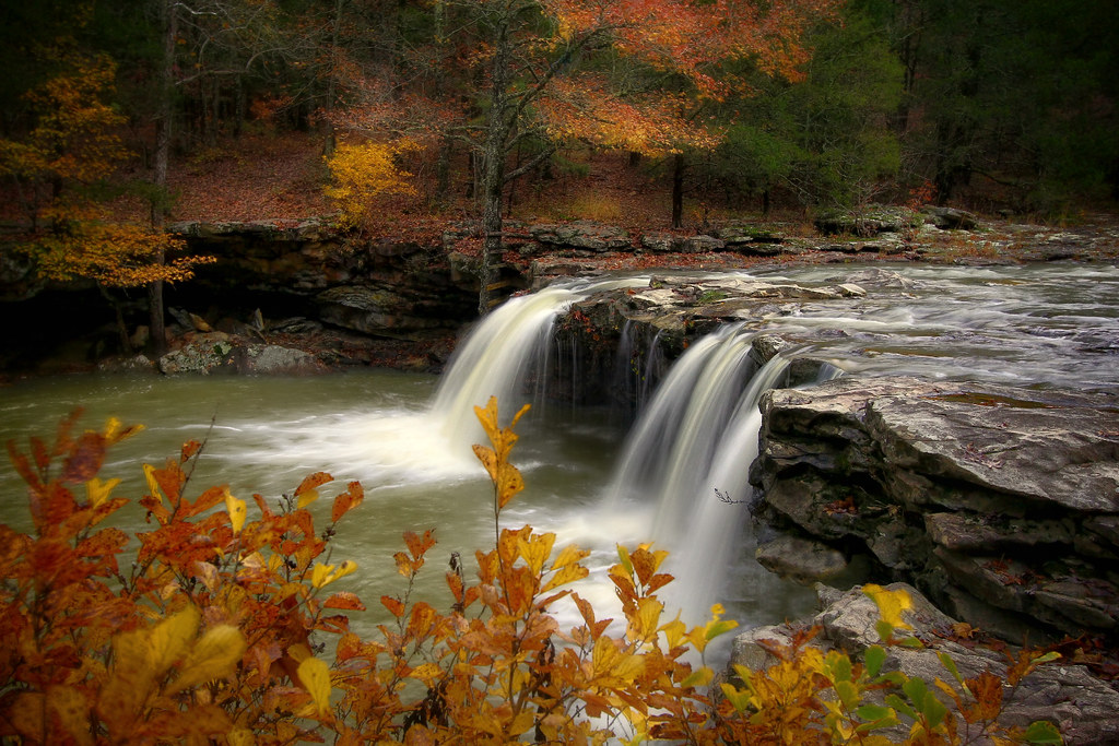
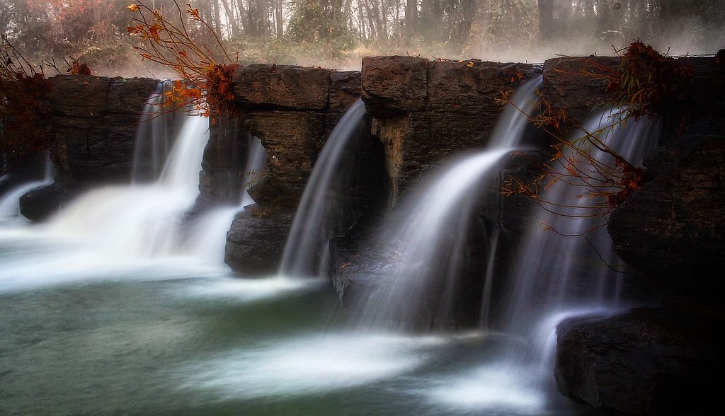
Natural Dam, AR
Kings River Falls in B/W

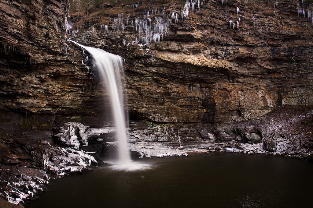
Richland Falls

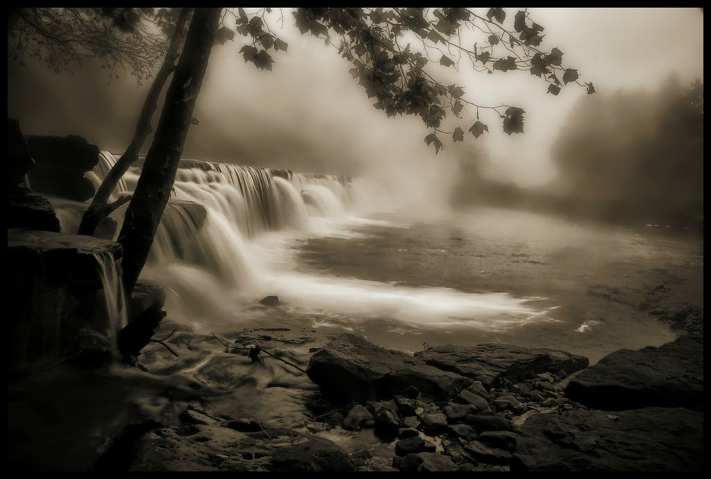
foggy falls

Cedar Falls
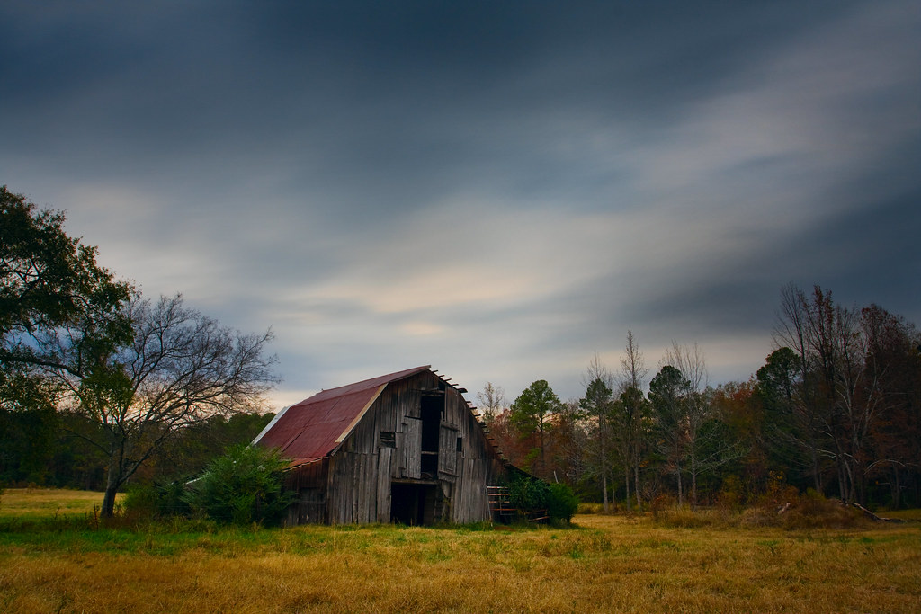
A barn I've shot a time or two before.

Anyone Else Ready For Fall?

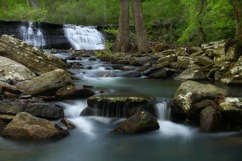
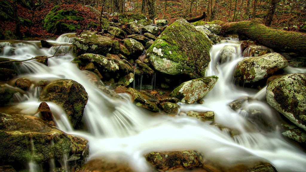
Cedar Creek
Last November
Natural Dam, Ar
Petit Jean State Park
Richland Falls

Lower Longpool last May
foggy falls
Topographic Map of Arkansas, USA
Find elevation by address:

Places in Arkansas, USA:
Pulaski County
Washington County
Benton County
Garland County
Lonoke County
Craighead County
Mississippi County
White County
Crawford County
Faulkner County
Carroll County
Baxter County
Boone County
Madison County
Logan County
Jefferson County
Crittenden County
Johnson County
Van Buren County
Pope County
Jackson County
Sebastian County
Stone County
Conway County
Arkansas County
Polk County
Randolph County
Yell County
Clay County
Clark County
Cleburne County
Independence County
Sharp County
Montgomery County
Columbia County
Newton County
Saline County
Cross County
Ashley County
Poinsett County
Perry County
Lincoln County
Union County
Lawrence County
Chicot County
Miller County
Izard County
Greene County
Sevier County
Fulton County
Nevada County
St. Francis County
Hot Spring County
Franklin County
Little River County
Desha County
Pike County
Cleveland County
Hempstead County
Phillips County
Ouachita County
Grant County
Scott County
Searcy County
Drew County
Monroe County
Howard County
Marion County
Lafayette County
Woodruff County
Dallas County
Prairie County
Lee County
Calhoun County
Rose Bud
Bradley County
Drew County
Drew County
Drew County
Drew County
AR-92, Bee Branch, AR, USA
Greenridge Rd, Waldron, AR, USA
Long, Augusta, AR, USA
Little River 70, Ogden, AR, USA
US-65, Gould, AR, USA
S Walnut St, Emmet, AR, USA
AR-32, Foreman, AR, USA
Duncan Ln, Murfreesboro, AR, USA
W 4th St, Hermitage, AR, USA
AR-32, Ashdown, AR, USA
AR-, Delight, AR, USA
Clifton Ivy Rd, Hermitage, AR, USA
AR-86, Hazen, AR, USA
Dallas, Sparkman, AR, USA
N Main, Stuttgart, AR, USA
Scotland, AR, USA
Places near Arkansas, USA:
Cane Township
White River
2227 Ar-267
501 Webb Hill Rd
Gum Springs Township
Crystal Creek Ct, Searcy, AR, USA
Crosby Church Ln, Searcy, AR, USA
Crosby Township
2159 Holmes Rd
2159 Holmes Rd
2159 Holmes Rd
2159 Holmes Rd
2196 Holmes Rd
Gray Township
1015 Shiloh Rd
Des Arc Township
AR-16, Searcy, AR, USA
279 Donald Choate Rd
Coffey Township
121 Starlight Ln
Recent Searches:
- Elevation of Corso Fratelli Cairoli, 35, Macerata MC, Italy
- Elevation of Tallevast Rd, Sarasota, FL, USA
- Elevation of 4th St E, Sonoma, CA, USA
- Elevation of Black Hollow Rd, Pennsdale, PA, USA
- Elevation of Oakland Ave, Williamsport, PA, USA
- Elevation of Pedrógão Grande, Portugal
- Elevation of Klee Dr, Martinsburg, WV, USA
- Elevation of Via Roma, Pieranica CR, Italy
- Elevation of Tavkvetili Mountain, Georgia
- Elevation of Hartfords Bluff Cir, Mt Pleasant, SC, USA