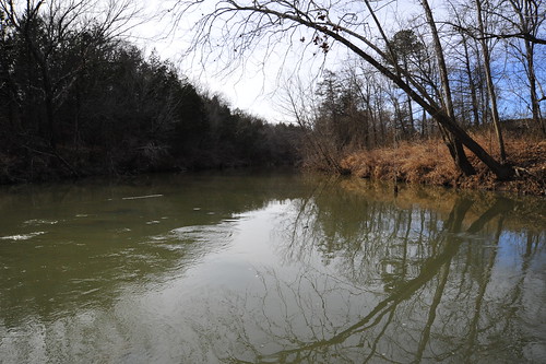
Elevation of Izard County, AR, USA
Location: United States > Arkansas >
Longitude: -91.909923
Latitude: 36.1610924
Elevation: 217m / 712feet
Barometric Pressure: 99KPa
Related Photos:
Topographic Map of Izard County, AR, USA
Find elevation by address:

Places in Izard County, AR, USA:
Union Township
New Hope Township
Mill Creek Township
Pleasant Hill Township
Jefferson Township
Mount Olive Township
Franklin Township
Gid Township
Guion Township
Sage Township
Violet Hill Township
Baker Township
Barren Fork Township
Springfield Ave, Horseshoe Bend, AR, USA
Mount Pleasant
County Road 199
White River Township
Places near Izard County, AR, USA:
Violet Hill Township
AR-56, Franklin, AR, USA
3-1
Melbourne
116 Douglas Dr
Mill Creek Township
Franklin
20 AR-56, Franklin, AR, USA
Franklin Township
AR-69 BUS, Melbourne, AR, USA
65 Sycamore Ln, Sage, AR, USA
Sage Township
Pleasant Hill Township
866 Reb Ln
866 Reb Ln
3100 Ar-223
Pineville
AR-, Pineville, AR, USA
County Road 199
Recent Searches:
- Elevation of Corso Fratelli Cairoli, 35, Macerata MC, Italy
- Elevation of Tallevast Rd, Sarasota, FL, USA
- Elevation of 4th St E, Sonoma, CA, USA
- Elevation of Black Hollow Rd, Pennsdale, PA, USA
- Elevation of Oakland Ave, Williamsport, PA, USA
- Elevation of Pedrógão Grande, Portugal
- Elevation of Klee Dr, Martinsburg, WV, USA
- Elevation of Via Roma, Pieranica CR, Italy
- Elevation of Tavkvetili Mountain, Georgia
- Elevation of Hartfords Bluff Cir, Mt Pleasant, SC, USA


