Elevation of Mill Creek Township, AR, USA
Location: United States > Arkansas > Izard County >
Longitude: -91.890388
Latitude: 36.0527529
Elevation: 189m / 620feet
Barometric Pressure: 99KPa
Elevation Map:
Satellite Map:
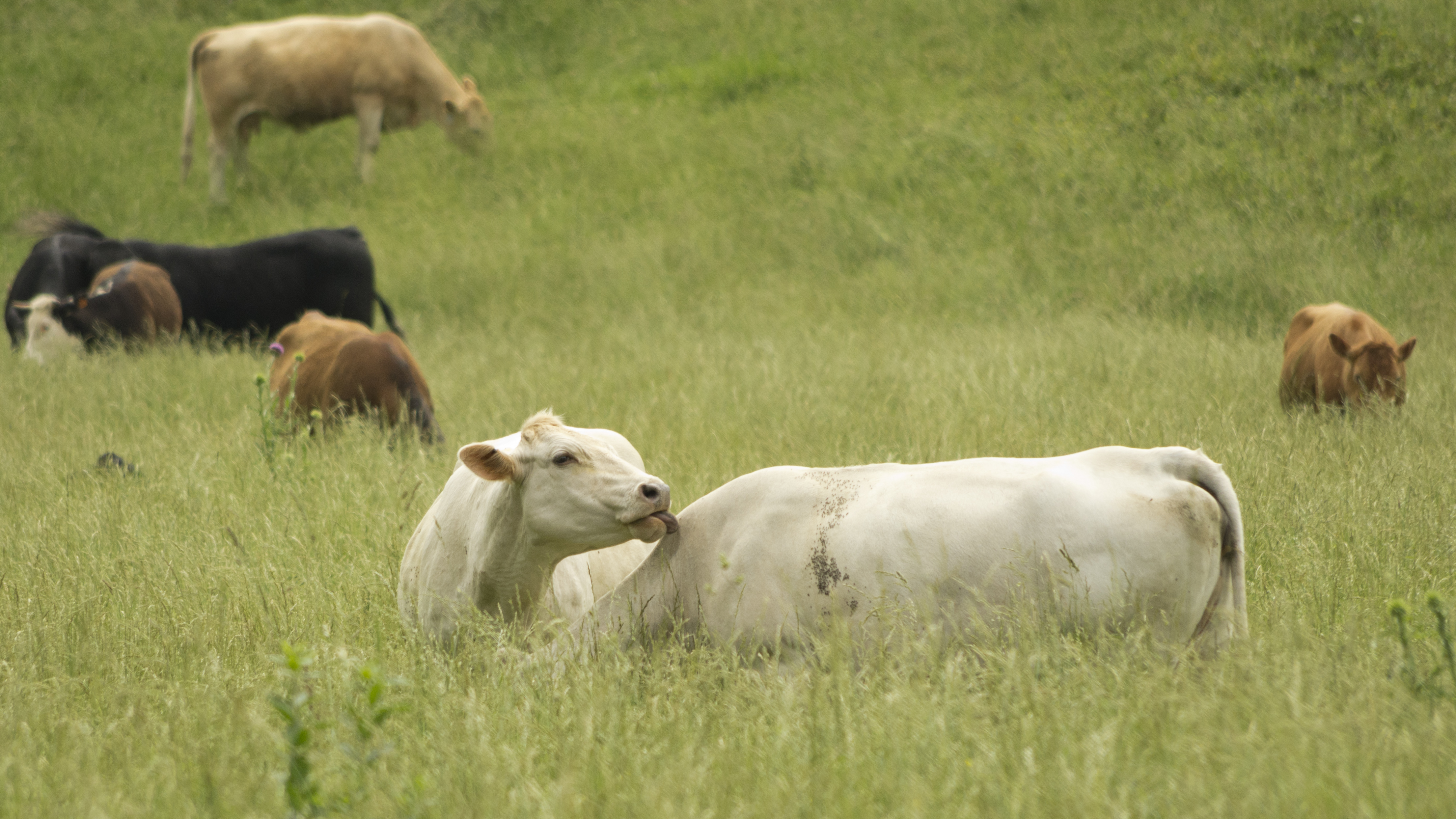
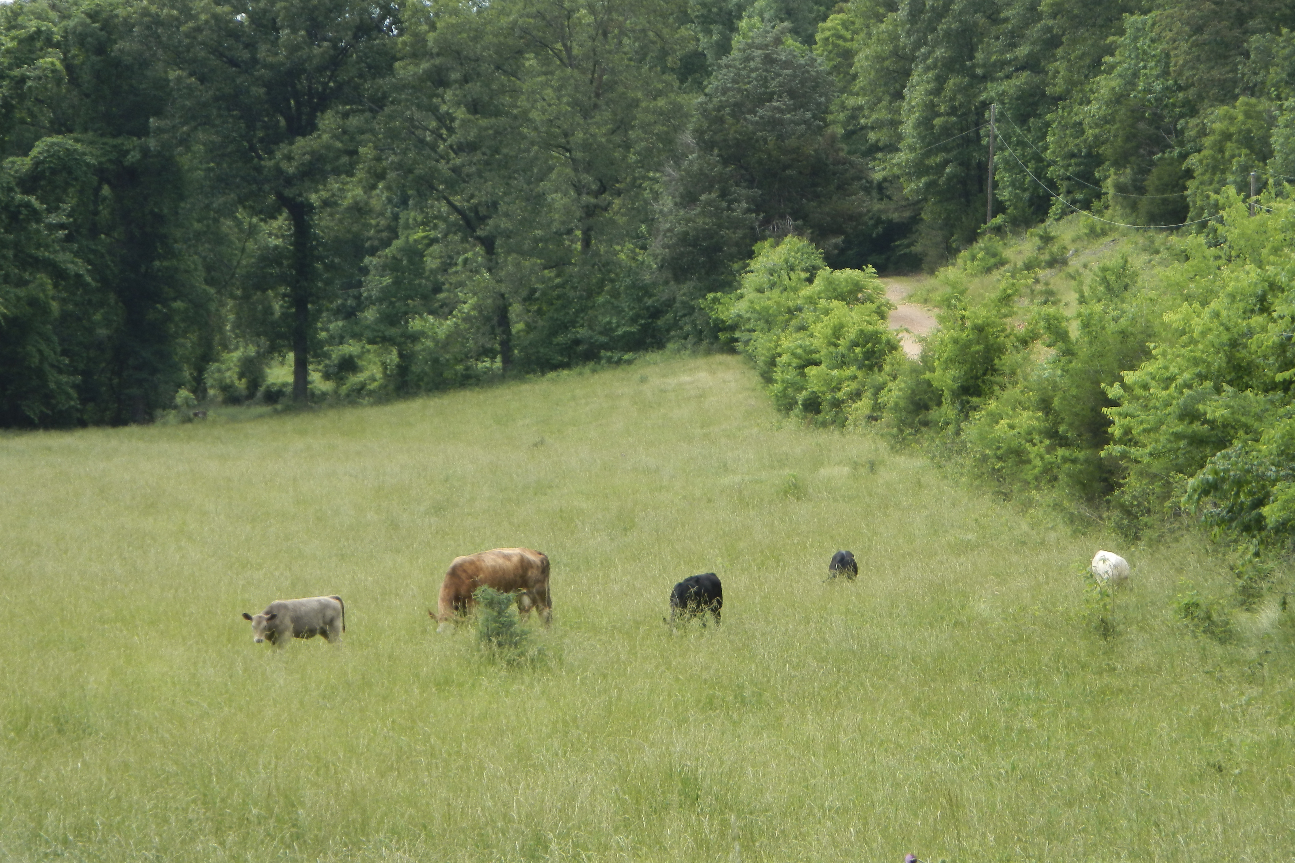
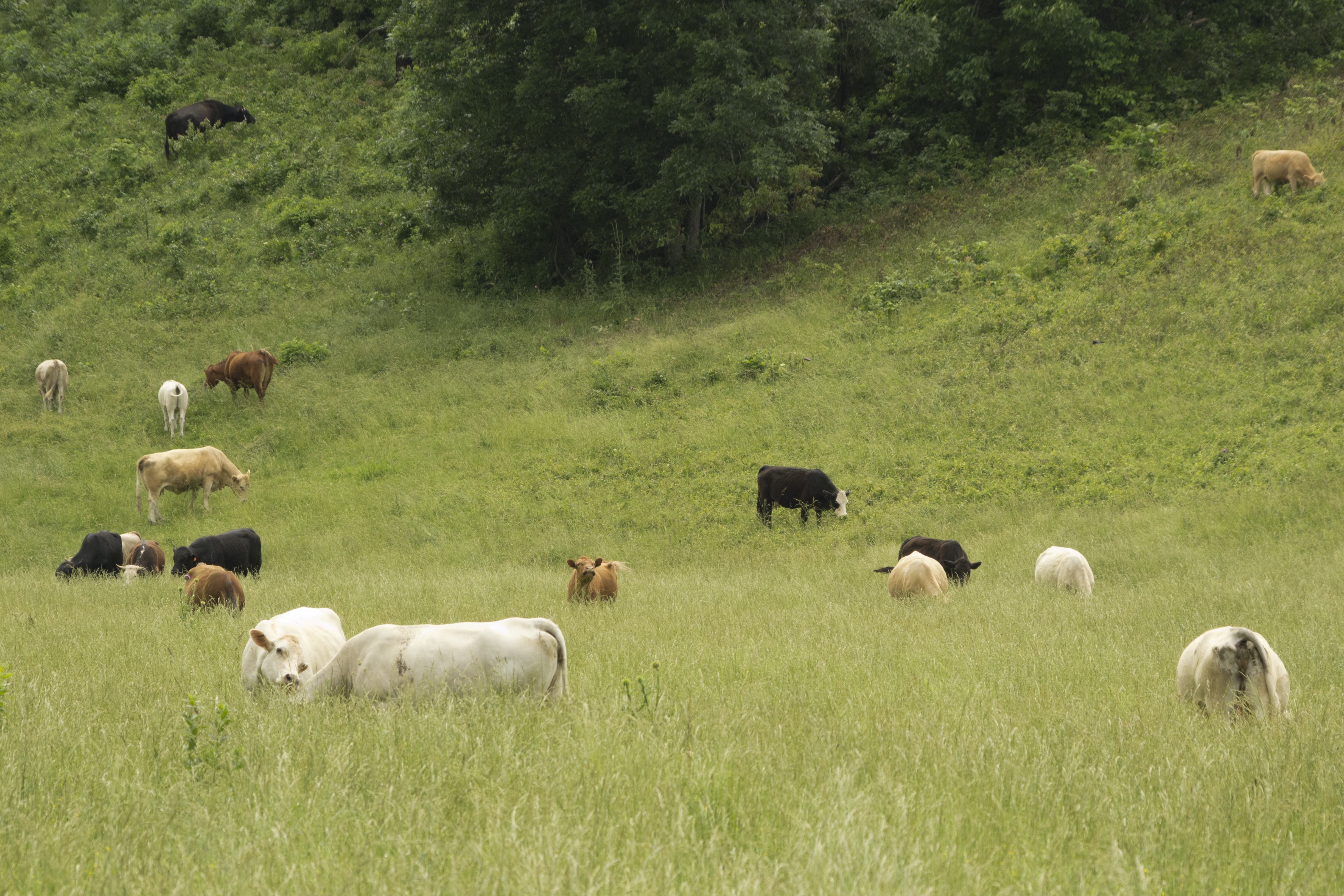
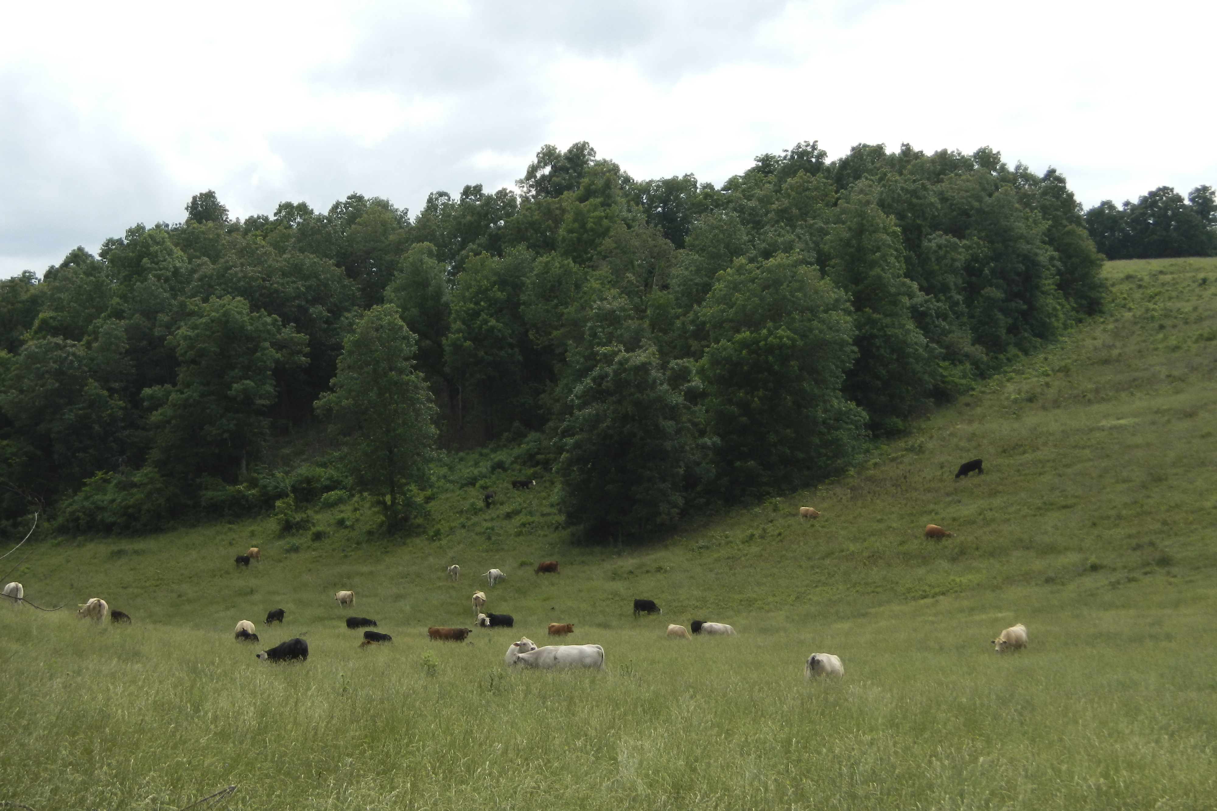
Related Photos:

Em

DJT_5951
DJT_5952
DSCN5179

DJT_5950
DJT_5949

DSCN5177
DSCN5176
DSCN5180

DJT_2998

DJT_2901

DJT_2902

DJT_2904

DJT_2907

DJT_2913

DJT_2915

DJT_2917

DJT_2918

DJT_2920

DJT_2928

DJT_2933

DJT_2935

DJT_2937

DJT_2938

DJT_2940

DJT_2941

DJT_2942

DJT_2947

DJT_2948

DJT_2949
Topographic Map of Mill Creek Township, AR, USA
Find elevation by address:

Places in Mill Creek Township, AR, USA:
Places near Mill Creek Township, AR, USA:
Melbourne
116 Douglas Dr
3-1
AR-69 BUS, Melbourne, AR, USA
Sage Township
Violet Hill Township
Izard County
65 Sycamore Ln, Sage, AR, USA
AR-56, Franklin, AR, USA
Pleasant Hill Township
Franklin Township
Franklin
20 AR-56, Franklin, AR, USA
866 Reb Ln
866 Reb Ln
County Road 199
Pineville
AR-, Pineville, AR, USA
3100 Ar-223
Recent Searches:
- Elevation of Corso Fratelli Cairoli, 35, Macerata MC, Italy
- Elevation of Tallevast Rd, Sarasota, FL, USA
- Elevation of 4th St E, Sonoma, CA, USA
- Elevation of Black Hollow Rd, Pennsdale, PA, USA
- Elevation of Oakland Ave, Williamsport, PA, USA
- Elevation of Pedrógão Grande, Portugal
- Elevation of Klee Dr, Martinsburg, WV, USA
- Elevation of Via Roma, Pieranica CR, Italy
- Elevation of Tavkvetili Mountain, Georgia
- Elevation of Hartfords Bluff Cir, Mt Pleasant, SC, USA