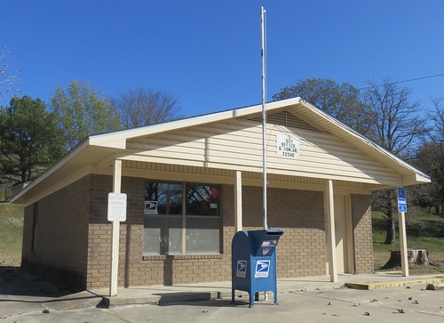
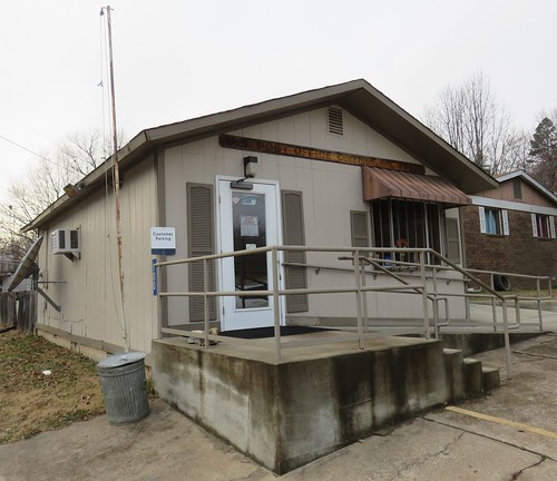
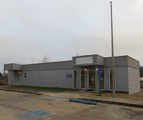
Elevation of Johnson Loop, Mt Pleasant, AR, USA
Location: United States > Arkansas > Izard County > Mount Pleasant >
Longitude: -91.781107
Latitude: 35.9623827
Elevation: 197m / 646feet
Barometric Pressure: 99KPa
Related Photos:
Topographic Map of Johnson Loop, Mt Pleasant, AR, USA
Find elevation by address:

Places near Johnson Loop, Mt Pleasant, AR, USA:
248 Blue Church Ln
Gid Township
Sage and Guion Rd, Guion, AR, USA
Cushman-union Township
Blowing Cave Creek
Blowing Cave Spring
Guion Township
Guion
Main St, Melbourne, AR, USA
Highway 58
Jones Township
2935 Round Bottom Rd
Washington Township
Round Bottom Road
Mount Olive Township
White River Township
551 Webb Acres Dr
Mount Olive
501 Hayden Heights Rd
Sylamore
Recent Searches:
- Elevation of Corso Fratelli Cairoli, 35, Macerata MC, Italy
- Elevation of Tallevast Rd, Sarasota, FL, USA
- Elevation of 4th St E, Sonoma, CA, USA
- Elevation of Black Hollow Rd, Pennsdale, PA, USA
- Elevation of Oakland Ave, Williamsport, PA, USA
- Elevation of Pedrógão Grande, Portugal
- Elevation of Klee Dr, Martinsburg, WV, USA
- Elevation of Via Roma, Pieranica CR, Italy
- Elevation of Tavkvetili Mountain, Georgia
- Elevation of Hartfords Bluff Cir, Mt Pleasant, SC, USA

