Elevation of Jefferson Township, AR, USA
Location: United States > Arkansas > Izard County >
Longitude: -91.734415
Latitude: 36.2288699
Elevation: 203m / 666feet
Barometric Pressure: 99KPa
Elevation Map:
Satellite Map:
Related Photos:

Driveway View
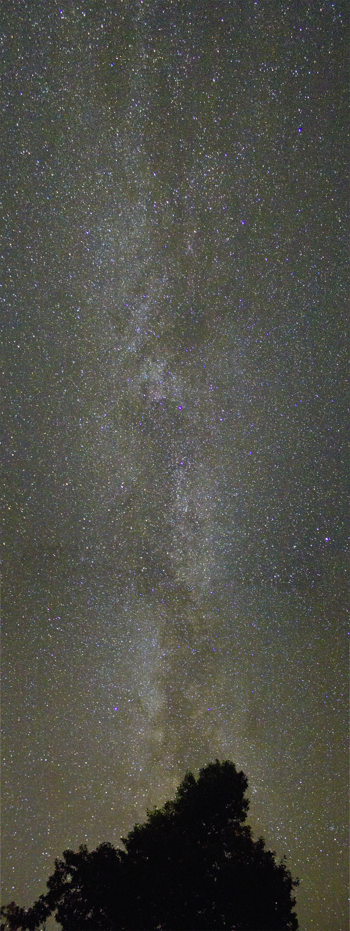
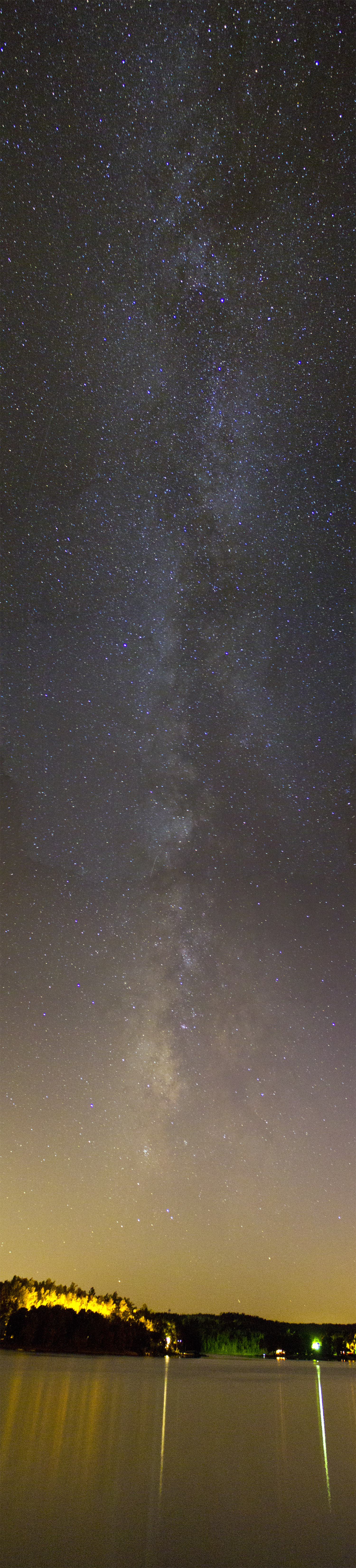
Milky Way
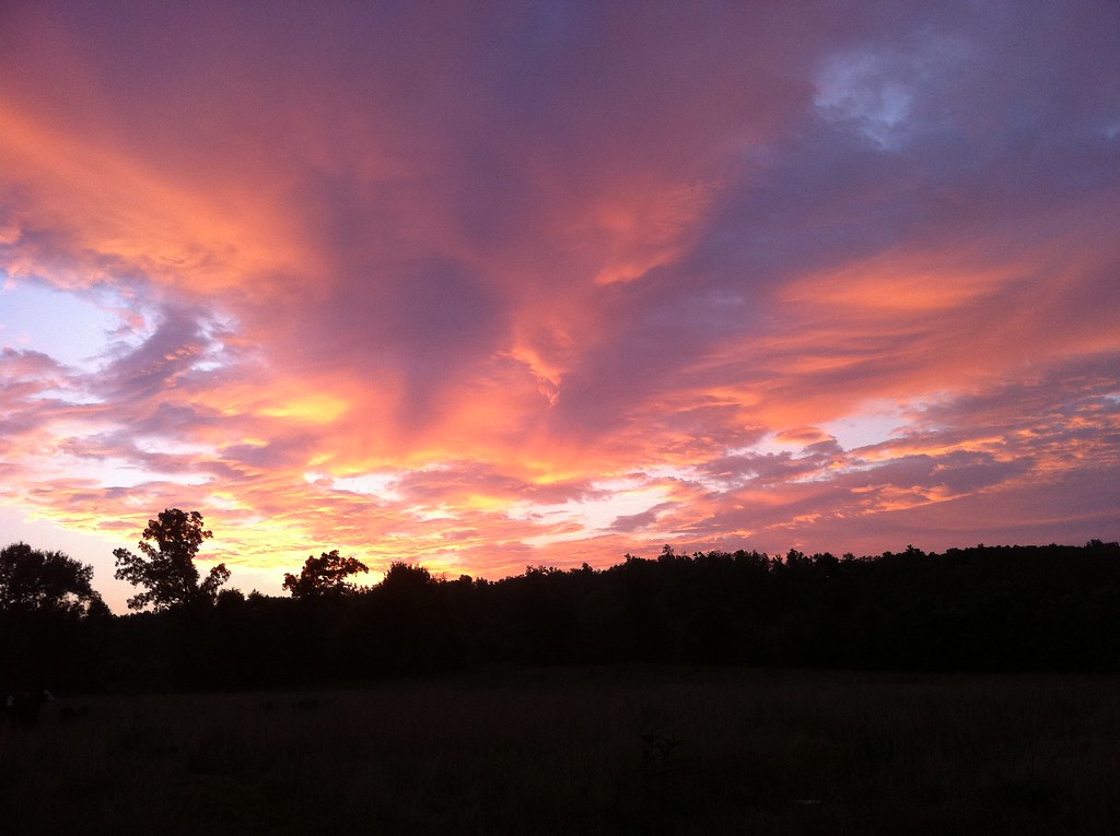
Fire Sky

Tyrannosaurus Rex + Velociraptor

You're welcome!
Eye in the Sky
Iris Stone Wall
HorseShoe Birdhouse
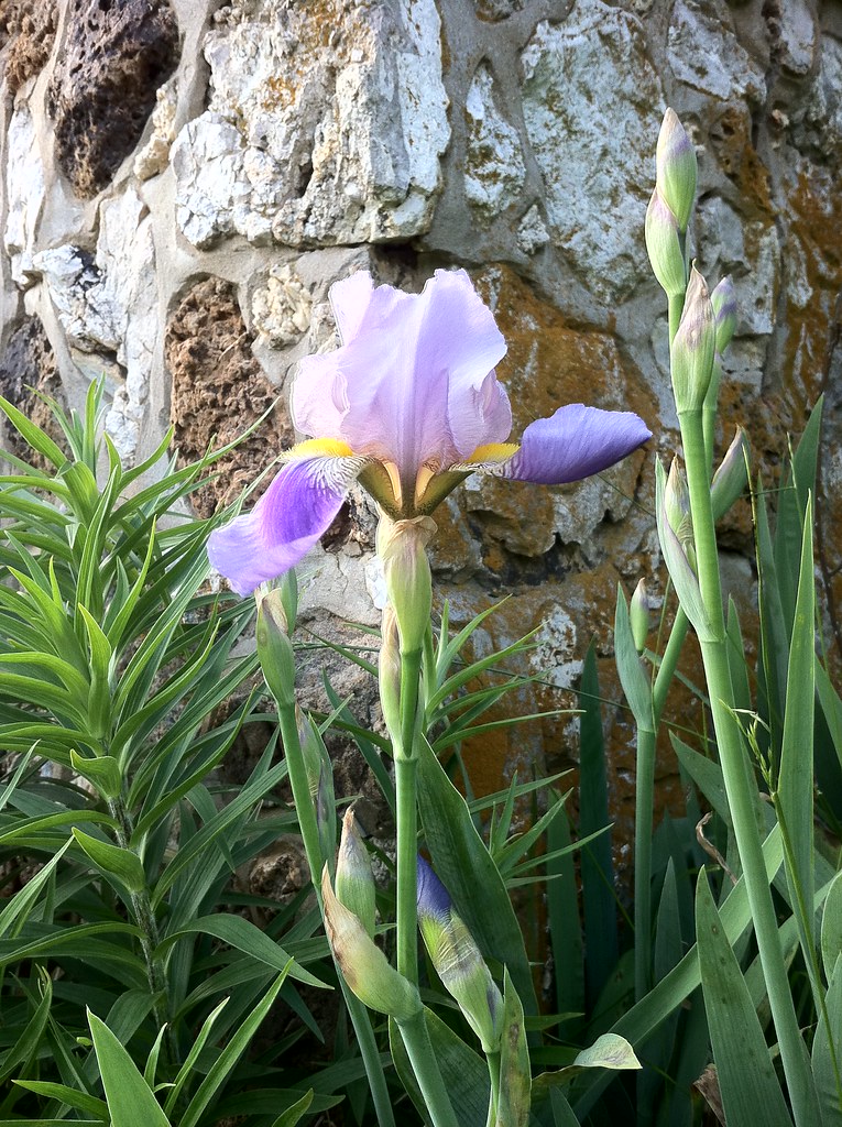
Blue Iris
Barn and Clouds
Road to WBC

Let's Take A Long Drive Into The Sunset...
AR Sharp CH- Ash Flat (2)
AR Sharp CH- Ash Flat

Smokey II

Smokey I

Smokey III

Montana, Me and Willie
Cherokee Village street signs
Cosmic Band II
Cosmic Band
Topographic Map of Jefferson Township, AR, USA
Find elevation by address:

Places in Jefferson Township, AR, USA:
Places near Jefferson Township, AR, USA:
Springfield Ave, Horseshoe Bend, AR, USA
1000 Wisconsin Ave
Horseshoe Bend, AR, USA
1005 S Edgewater Rd
2204 E Diamond Lake Dr
Ballard
Heart Rd, Glencoe, AR, USA
Pleasant Ridge Township
Ash Flat
67 Pinal Cir
AR-, Mammoth Spring, AR, USA
21 Nameoki Dr
68 Cherokee Rd
29 B Johns Rd
9 Navajo Trce
Highland
Cherokee Township
24 Highland Cove Dr, Highland, AR, USA
21 Arrowhead Dr
Highland Township
Recent Searches:
- Elevation of Corso Fratelli Cairoli, 35, Macerata MC, Italy
- Elevation of Tallevast Rd, Sarasota, FL, USA
- Elevation of 4th St E, Sonoma, CA, USA
- Elevation of Black Hollow Rd, Pennsdale, PA, USA
- Elevation of Oakland Ave, Williamsport, PA, USA
- Elevation of Pedrógão Grande, Portugal
- Elevation of Klee Dr, Martinsburg, WV, USA
- Elevation of Via Roma, Pieranica CR, Italy
- Elevation of Tavkvetili Mountain, Georgia
- Elevation of Hartfords Bluff Cir, Mt Pleasant, SC, USA