Elevation of Springfield Ave, Horseshoe Bend, AR, USA
Location: United States > Arkansas > Izard County >
Longitude: -91.725863
Latitude: 36.230074
Elevation: 215m / 705feet
Barometric Pressure: 99KPa
Elevation Map:
Satellite Map:
Related Photos:

Driveway View
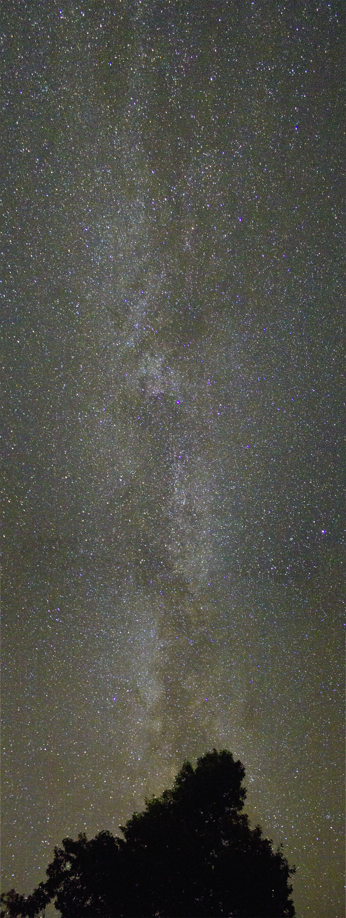
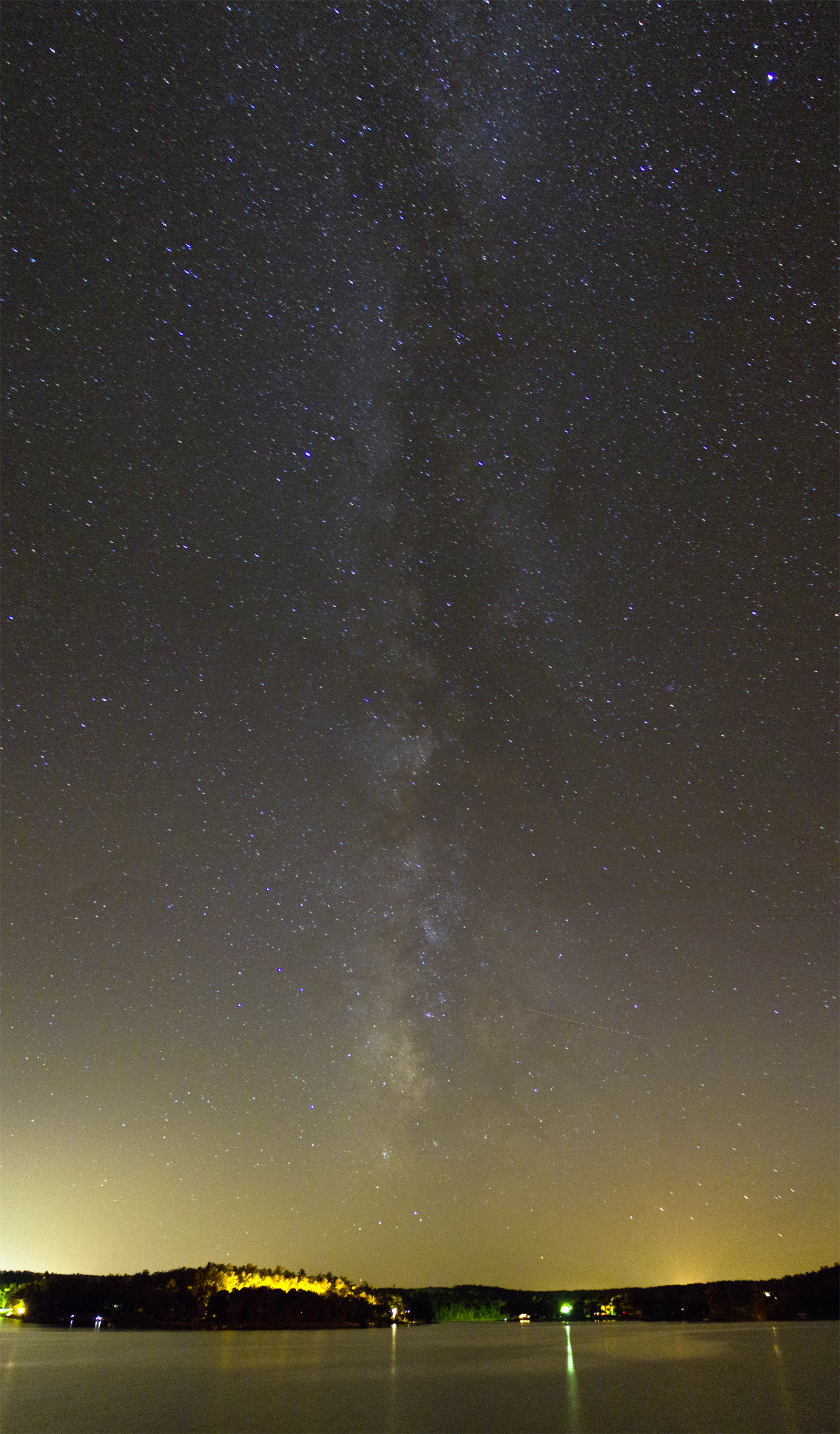
Milky Way

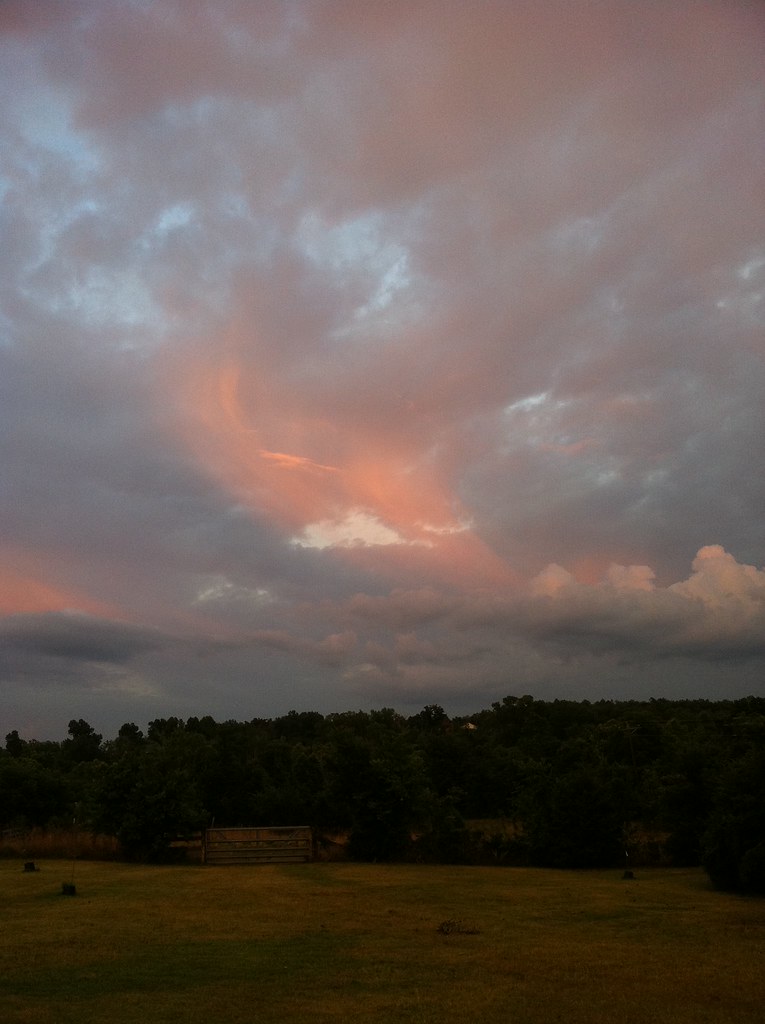
Fire Sky

Tyrannosaurus Rex + Velociraptor

You're welcome!
Eye in the Sky

Iris Stone Wall

HorseShoe Birdhouse

Blue Iris
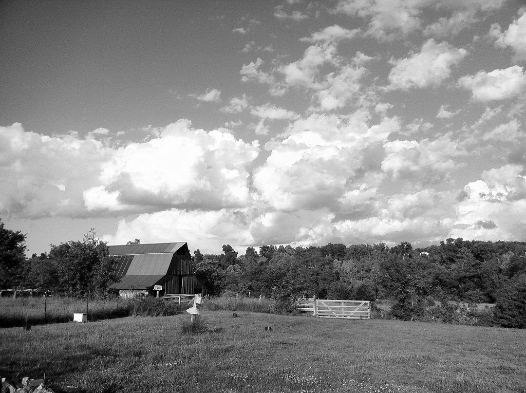
Barn and Clouds
Road to WBC
Cosmic Band II
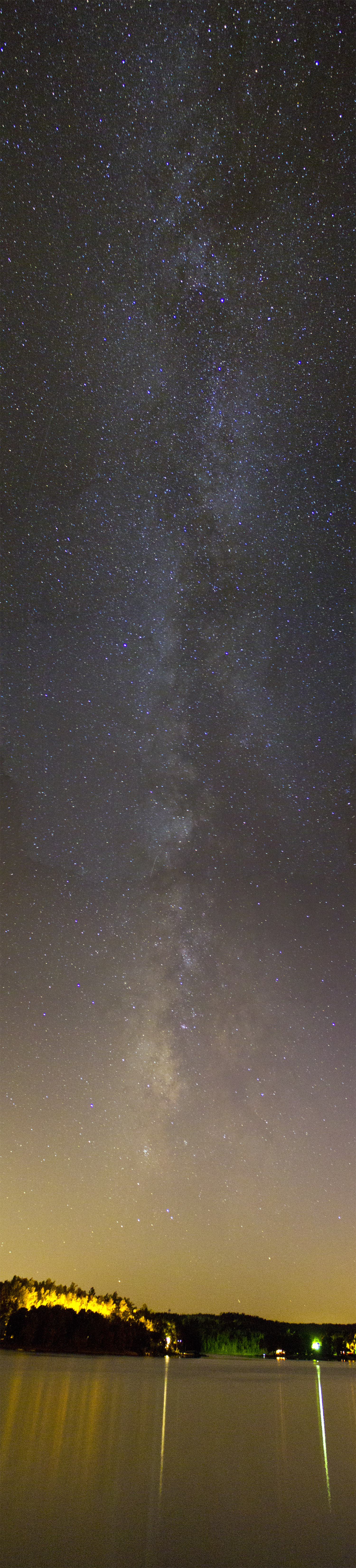
Cosmic Band

Lake Chanute Sunset

Fiery Searcher

Let's Take A Long Drive Into The Sunset...
AR Sharp CH- Ash Flat (2)
AR Sharp CH- Ash Flat

Smokey II

Smokey I

Smokey III
Topographic Map of Springfield Ave, Horseshoe Bend, AR, USA
Find elevation by address:

Places near Springfield Ave, Horseshoe Bend, AR, USA:
Jefferson Township
1000 Wisconsin Ave
1005 S Edgewater Rd
2204 E Diamond Lake Dr
Horseshoe Bend, AR, USA
Ballard
Heart Rd, Glencoe, AR, USA
Pleasant Ridge Township
Ash Flat
67 Pinal Cir
AR-, Mammoth Spring, AR, USA
21 Nameoki Dr
68 Cherokee Rd
29 B Johns Rd
9 Navajo Trce
Highland
Cherokee Township
24 Highland Cove Dr, Highland, AR, USA
21 Arrowhead Dr
Highland Township
Recent Searches:
- Elevation of Corso Fratelli Cairoli, 35, Macerata MC, Italy
- Elevation of Tallevast Rd, Sarasota, FL, USA
- Elevation of 4th St E, Sonoma, CA, USA
- Elevation of Black Hollow Rd, Pennsdale, PA, USA
- Elevation of Oakland Ave, Williamsport, PA, USA
- Elevation of Pedrógão Grande, Portugal
- Elevation of Klee Dr, Martinsburg, WV, USA
- Elevation of Via Roma, Pieranica CR, Italy
- Elevation of Tavkvetili Mountain, Georgia
- Elevation of Hartfords Bluff Cir, Mt Pleasant, SC, USA