Elevation of Sharp County, AR, USA
Location: United States > Arkansas >
Longitude: -91.443469
Latitude: 36.1675974
Elevation: 194m / 636feet
Barometric Pressure: 99KPa
Elevation Map:
Satellite Map:
Related Photos:
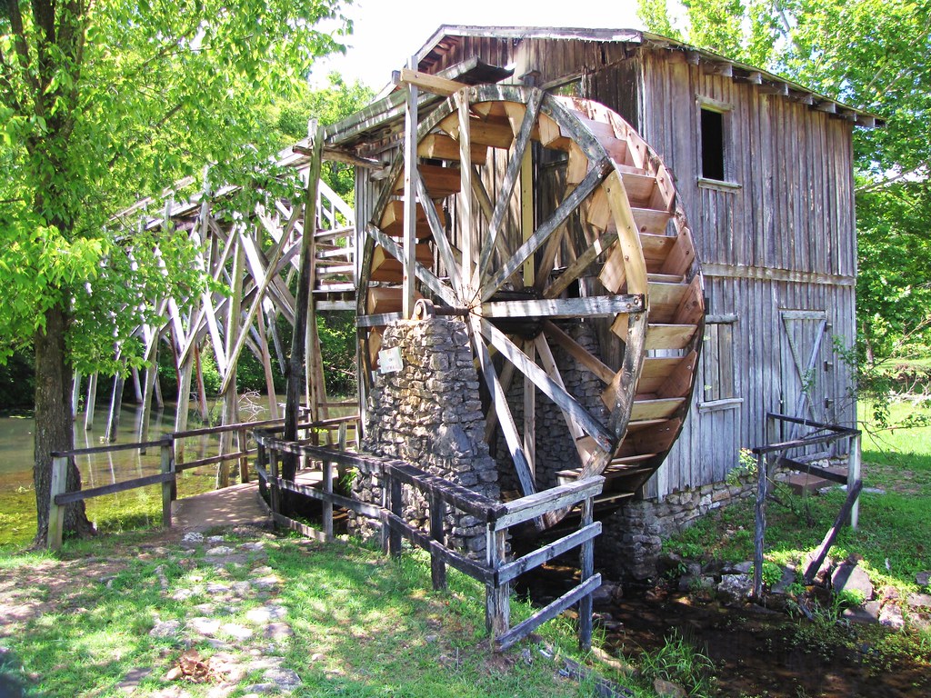
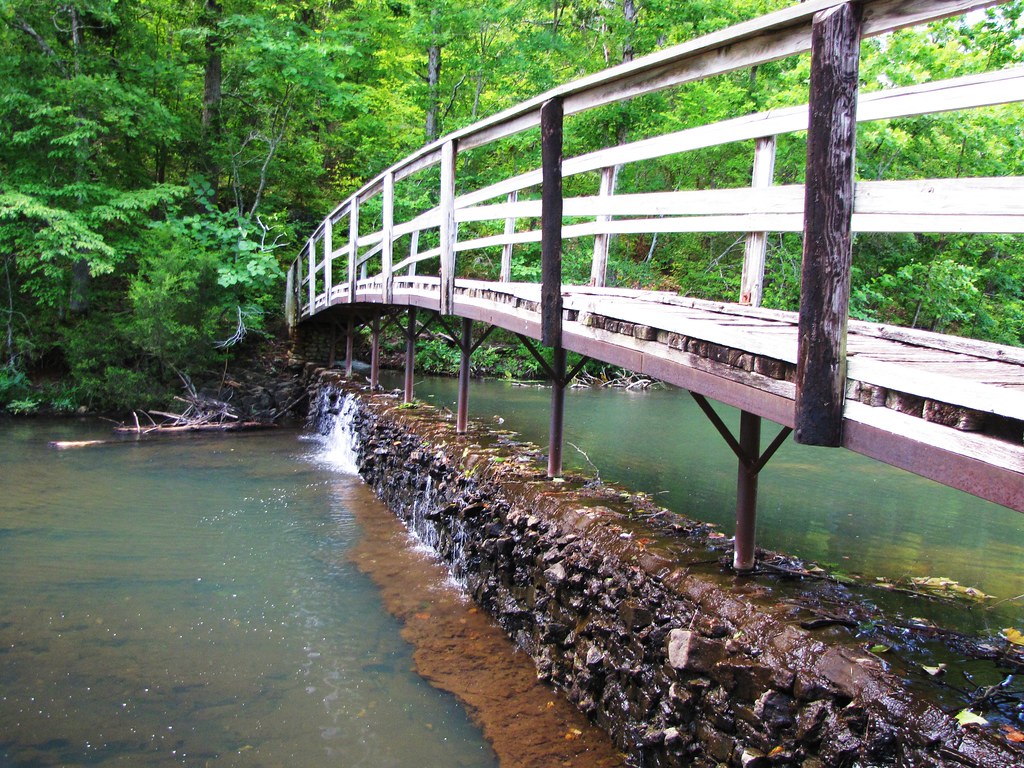
IMG_2061
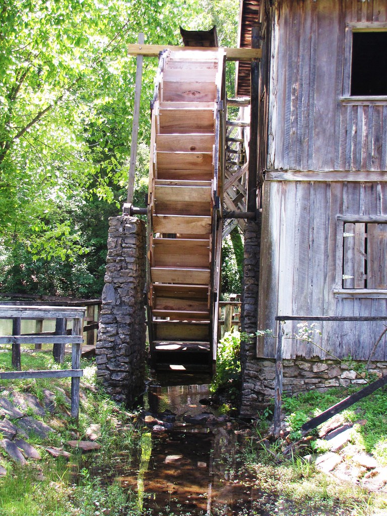
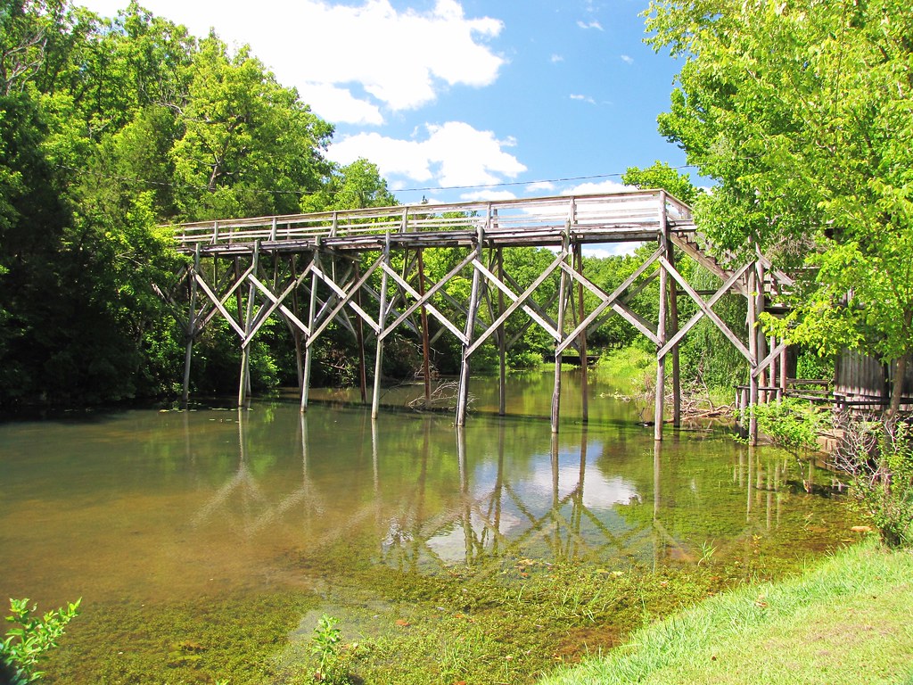
IMG_2065
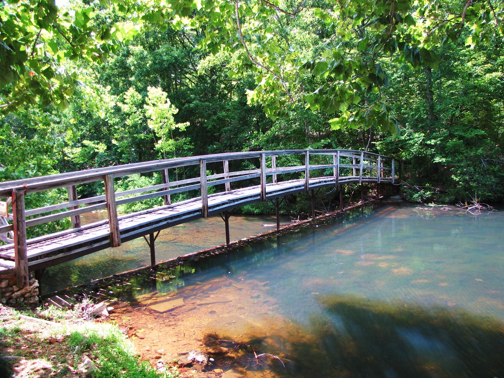
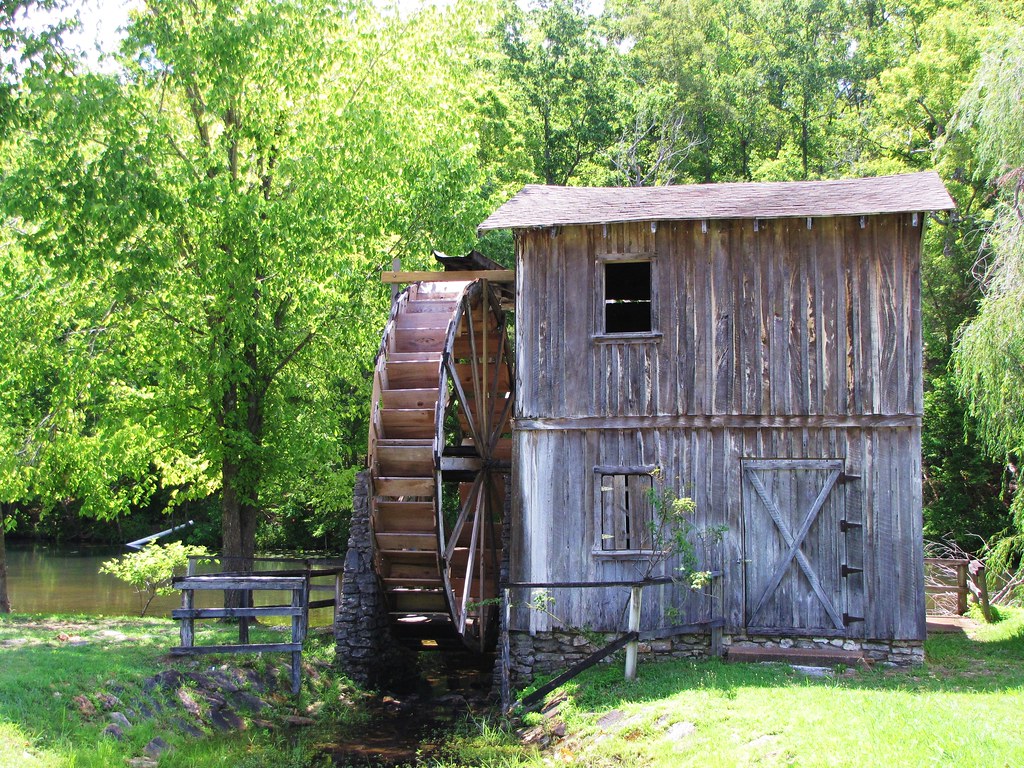
IMG_2069
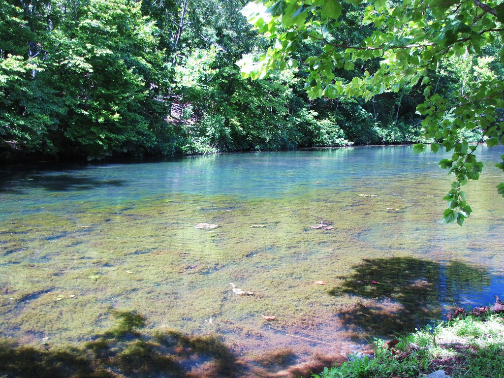
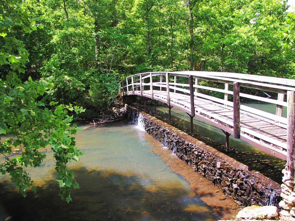
IMG_2077
IMG_2075
IMG_2060

IMG_2078
IMG_2063
IMG_2070
IMG_2076
IMG_2066

Fire Sky
Day 39-42 028
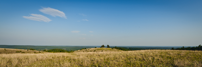
Buchanan Mountain-1
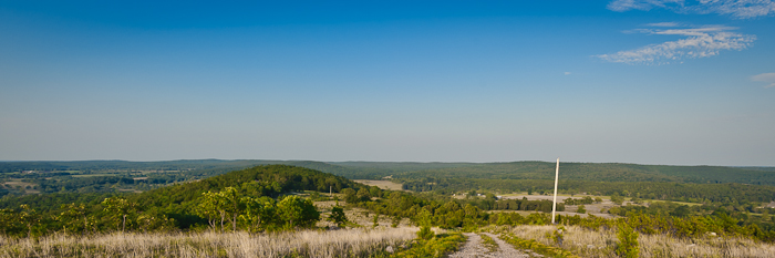
Buchanan Mountain-3
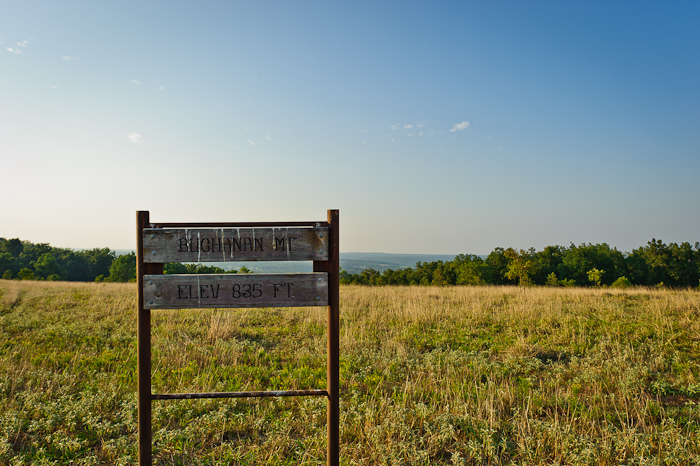
Buchanan Mountain-2
As the sun sets...
IMAG0195.jpg

Perched on a Leaf

Back yard

IMAG0198.jpg
IMAG0196.jpg
Topographic Map of Sharp County, AR, USA
Find elevation by address:

Places in Sharp County, AR, USA:
Cave Township
Lave Creek Township
North Lebanon Township
Piney Fork Township
Richwoods Township
Big Creek Township
Cherokee Township
Hardy Township
East Sullivan Township
Strawberry Township
North Big Rock Township
Lower North Township
West Sullivan Township
Highland Township
Upper North Township
Scott Township
Jackson Township
Ozark Township
Places near Sharp County, AR, USA:
AR-58, Williford, AR, USA
North Lebanon Township
AR-58, Poughkeepsie, AR, USA
Poughkeepsie
Nelsonville Rd, Smithville, AR, USA
Strawberry Township
708 Nelsonville Rd
North Big Rock Township
Highland Township
29 B Johns Rd
24 Highland Cove Dr, Highland, AR, USA
Highland
Hardy Township
Sequoyah Ridge Rd, Cherokee Village, AR, USA
Cherokee Village
East Valley Drive
117 E Main St
Big Creek Township
E Main St, Hardy, AR, USA
Hardy
Recent Searches:
- Elevation of Corso Fratelli Cairoli, 35, Macerata MC, Italy
- Elevation of Tallevast Rd, Sarasota, FL, USA
- Elevation of 4th St E, Sonoma, CA, USA
- Elevation of Black Hollow Rd, Pennsdale, PA, USA
- Elevation of Oakland Ave, Williamsport, PA, USA
- Elevation of Pedrógão Grande, Portugal
- Elevation of Klee Dr, Martinsburg, WV, USA
- Elevation of Via Roma, Pieranica CR, Italy
- Elevation of Tavkvetili Mountain, Georgia
- Elevation of Hartfords Bluff Cir, Mt Pleasant, SC, USA