Elevation of Strawberry Township, AR, USA
Location: United States > Arkansas > Sharp County >
Longitude: -91.4144827
Latitude: 36.0701582
Elevation: 141m / 463feet
Barometric Pressure: 0KPa
Related Photos:
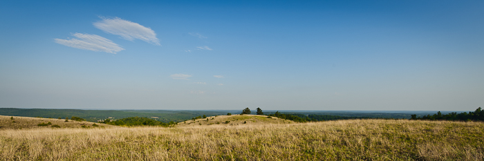
Buchanan Mountain-1
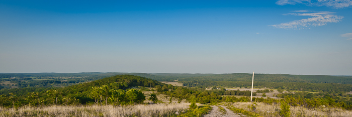
Buchanan Mountain-3
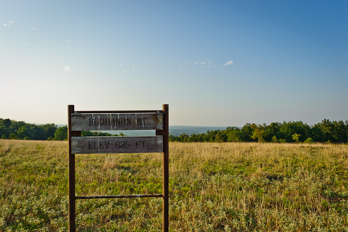
Buchanan Mountain-2

Back yard
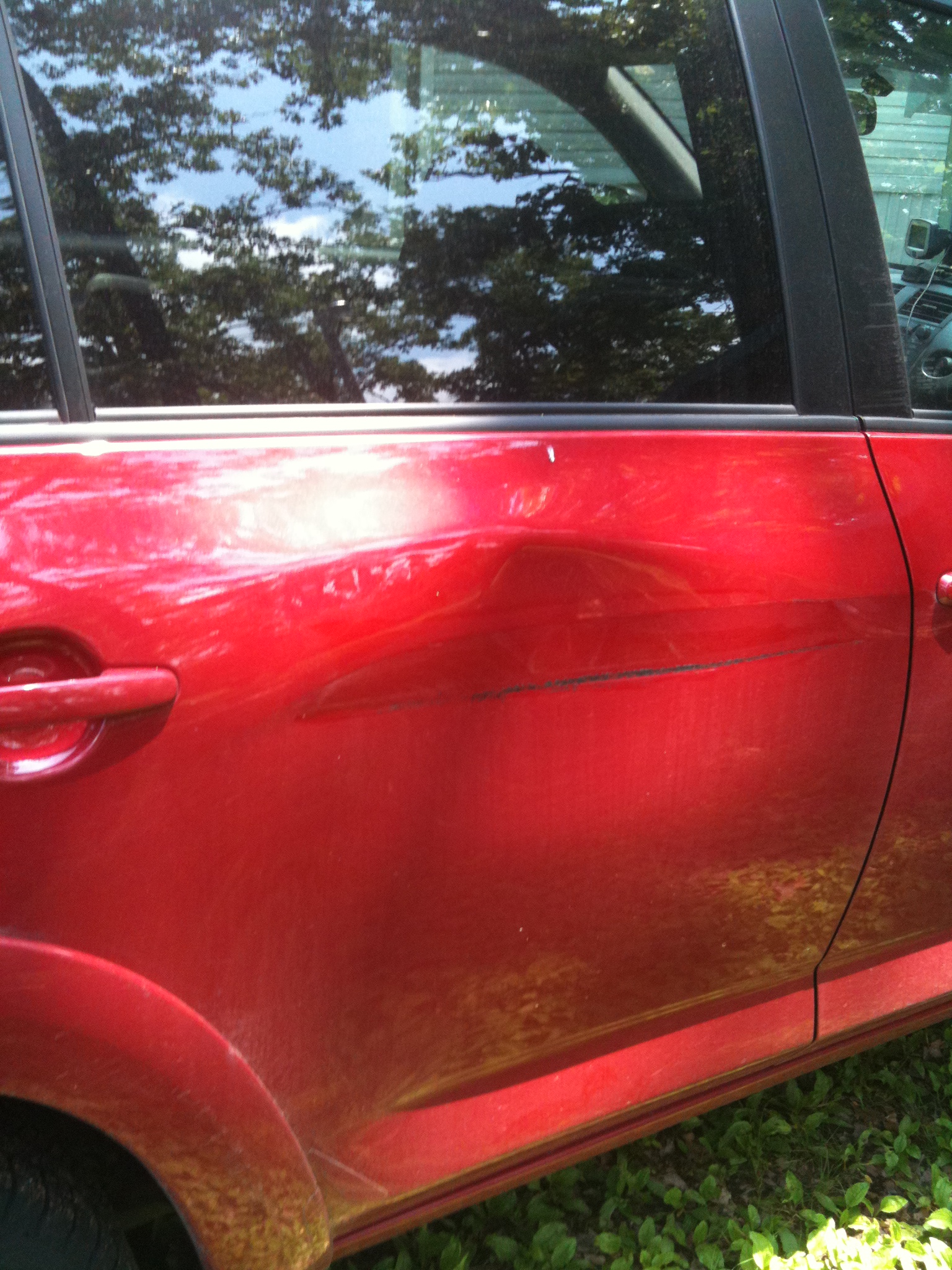
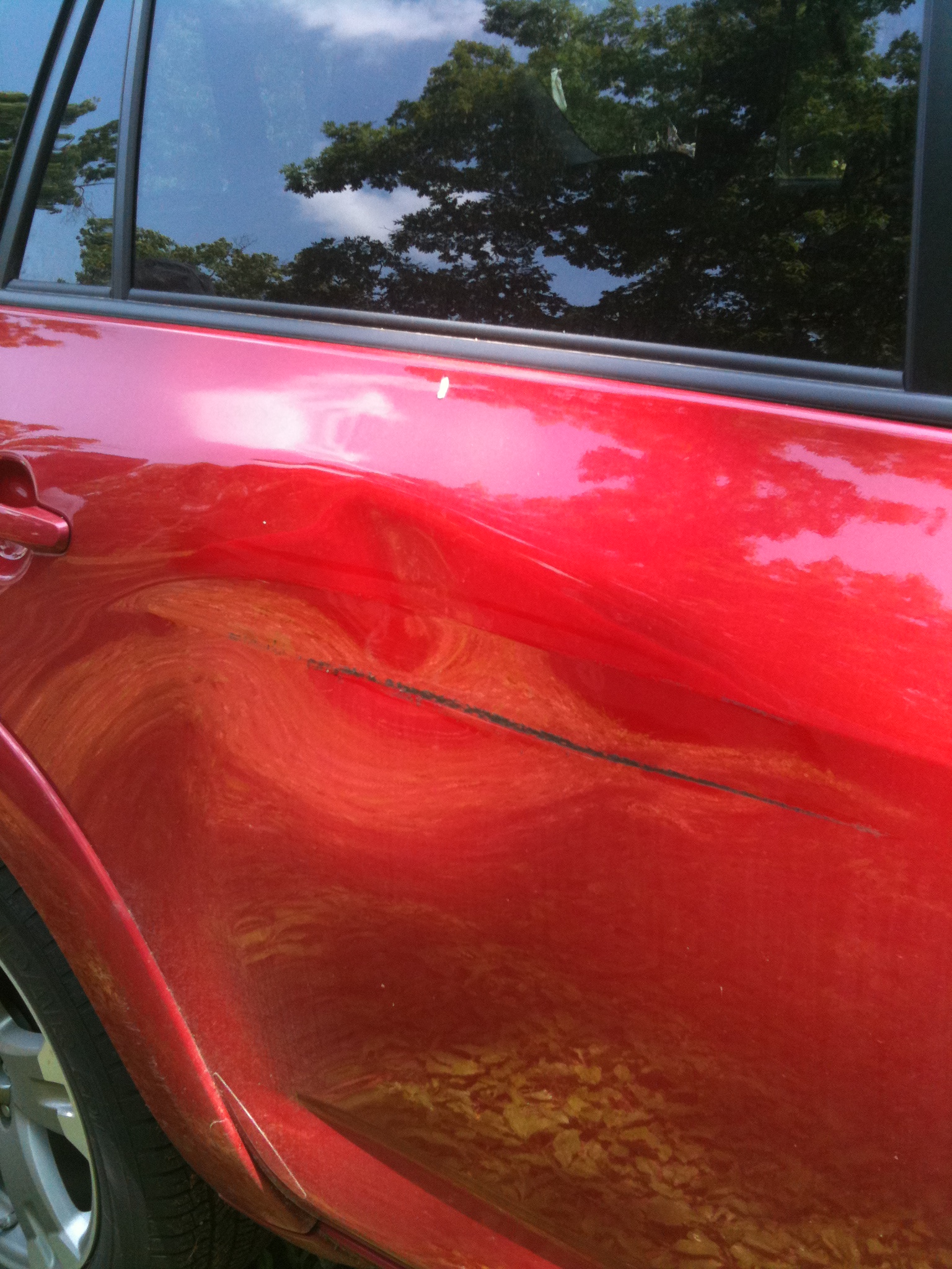
A little damage
The other angle

Lazy dog
The sky adds to the scene...
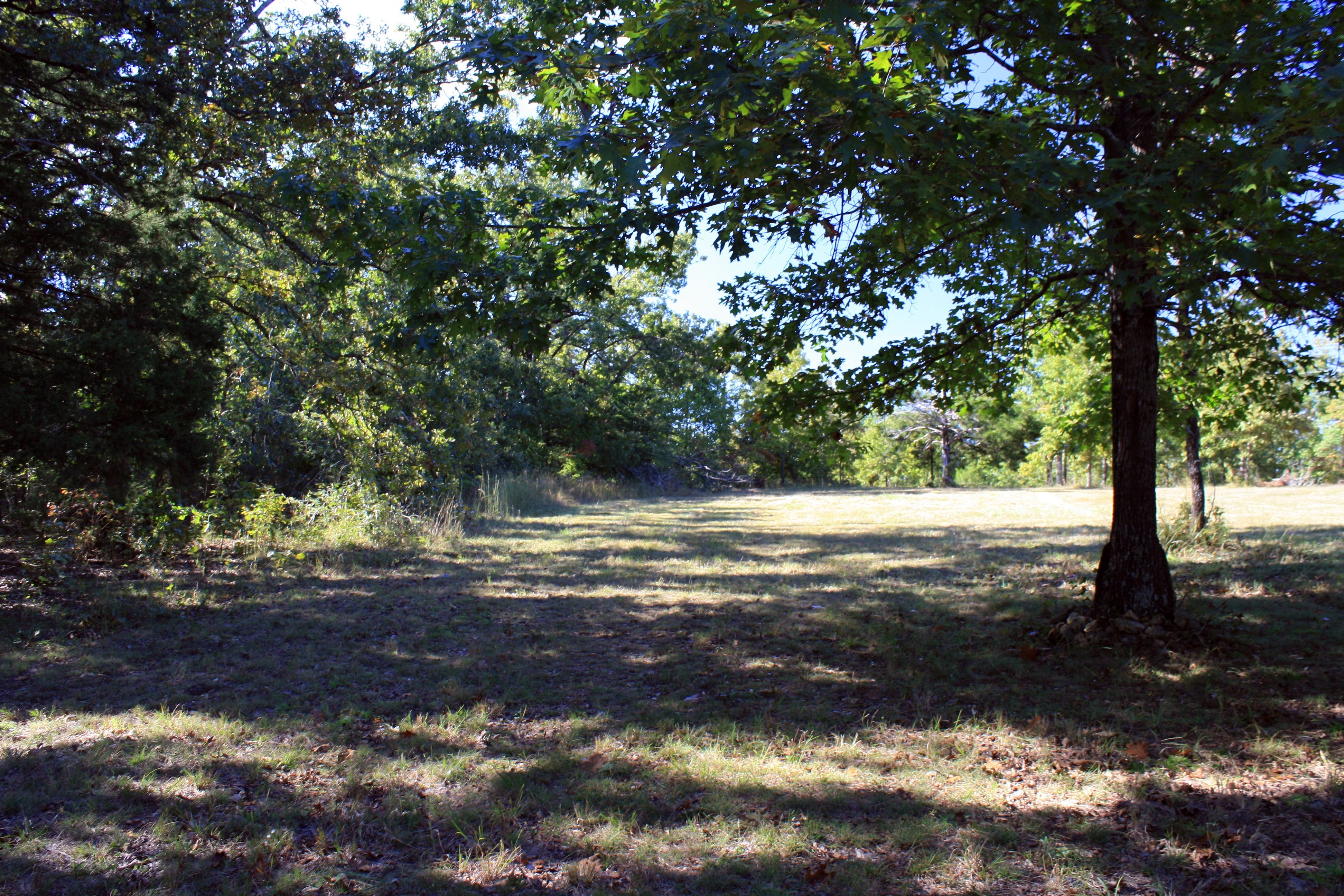
Trees everywhere
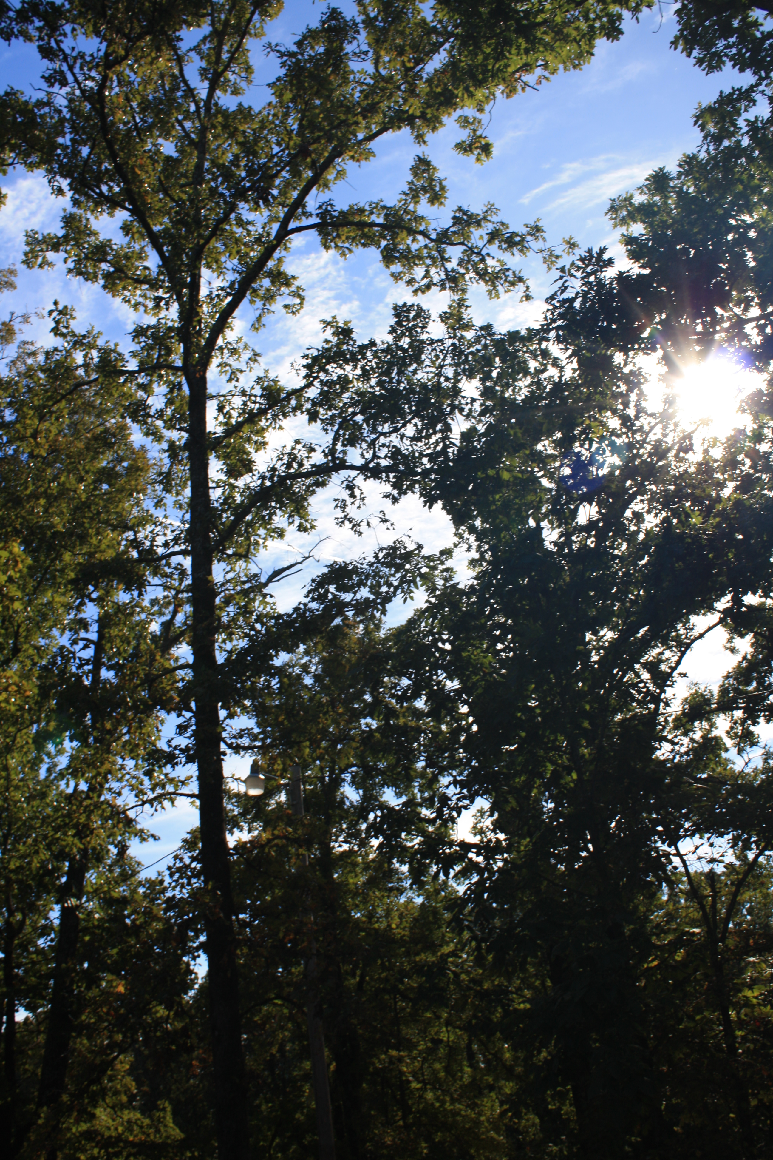
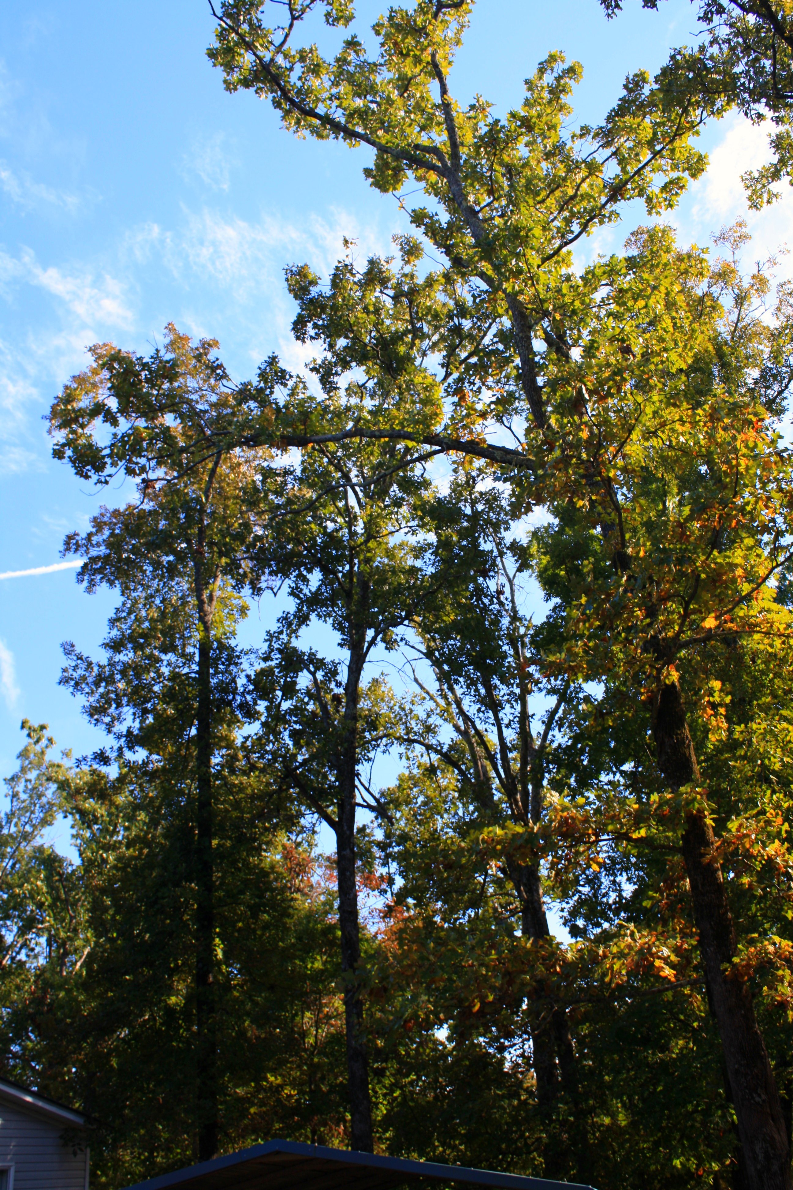
Tree-filtered sunlight
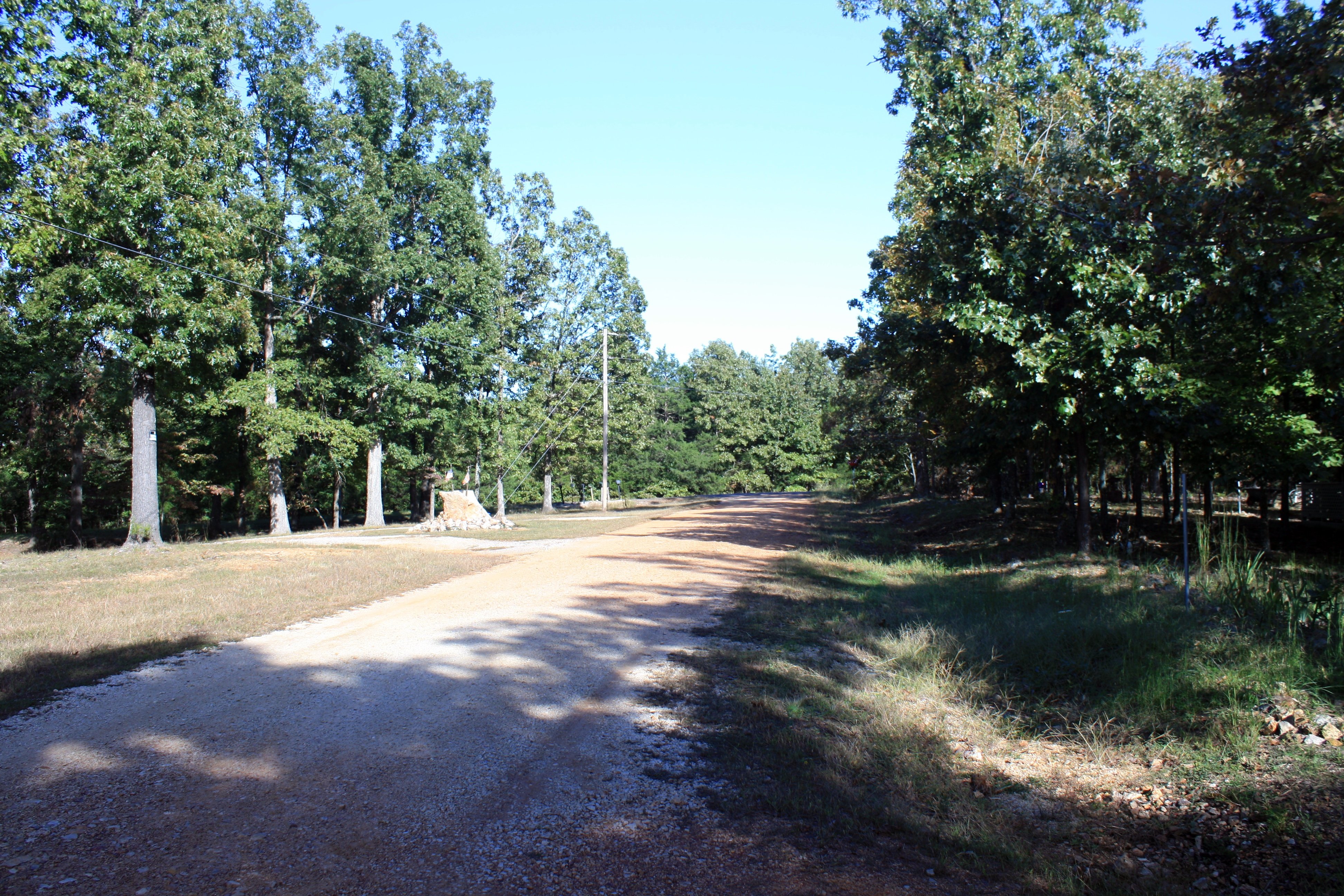
The road out front
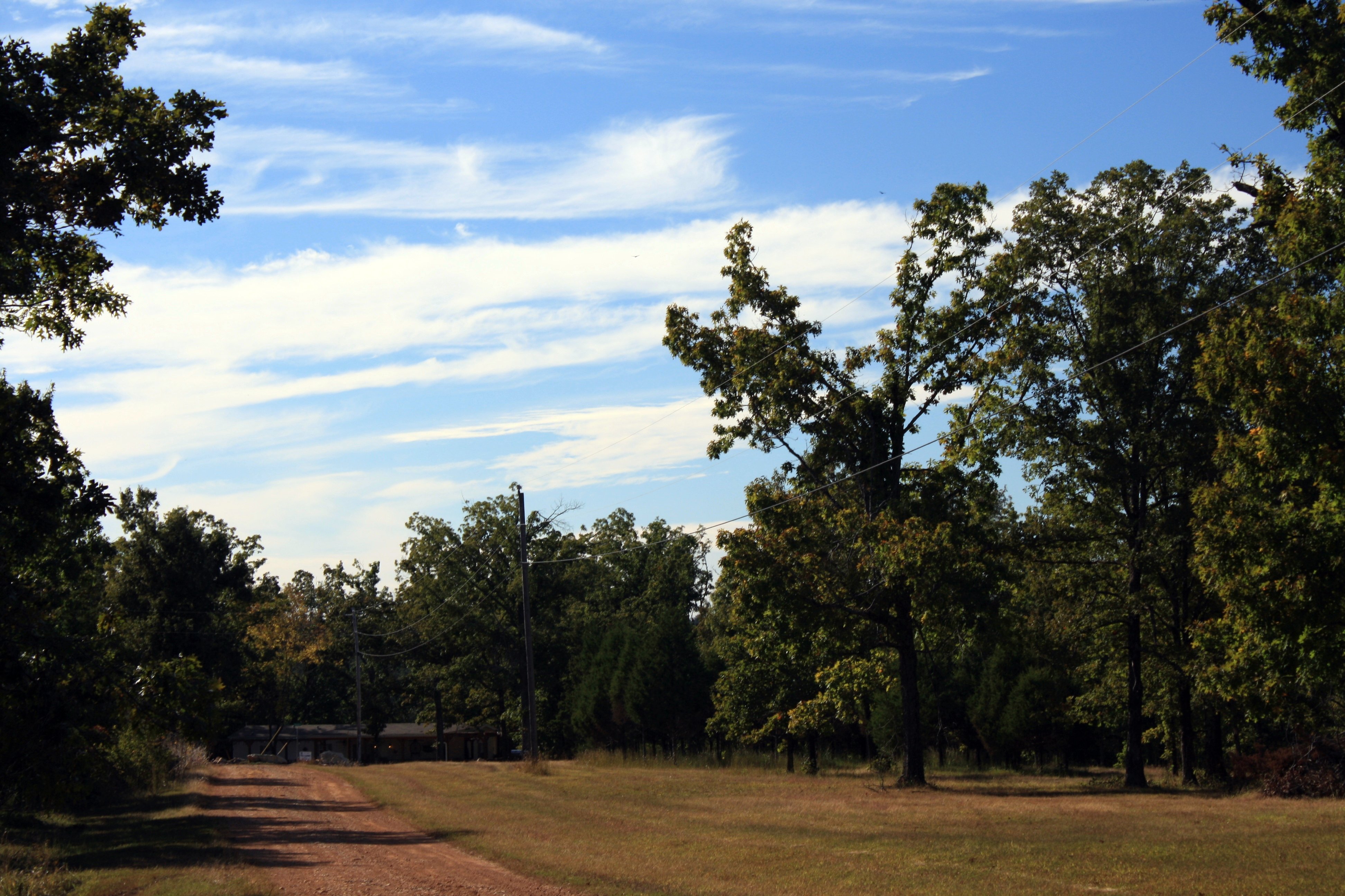
To the NW
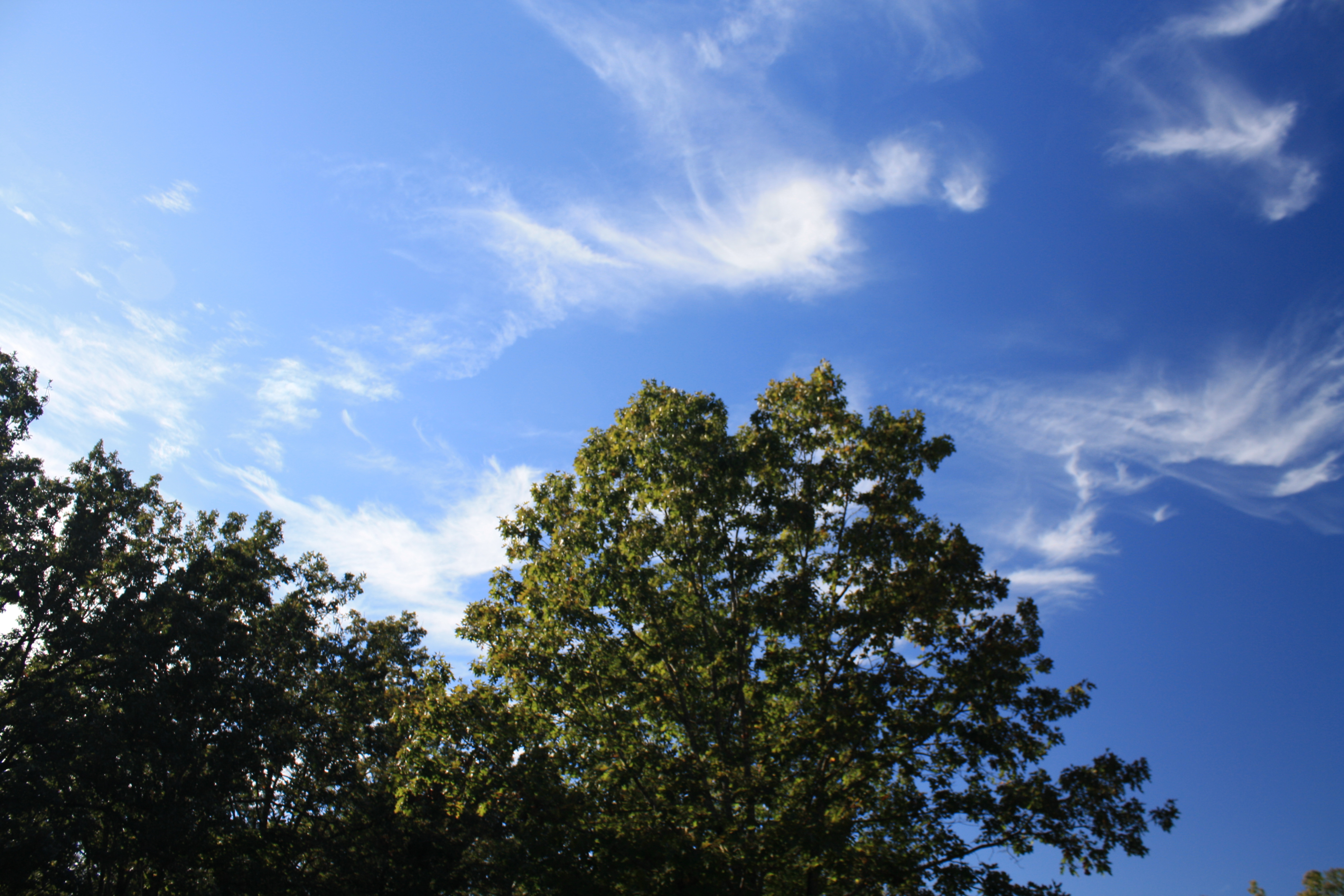
Cirrus "tails"
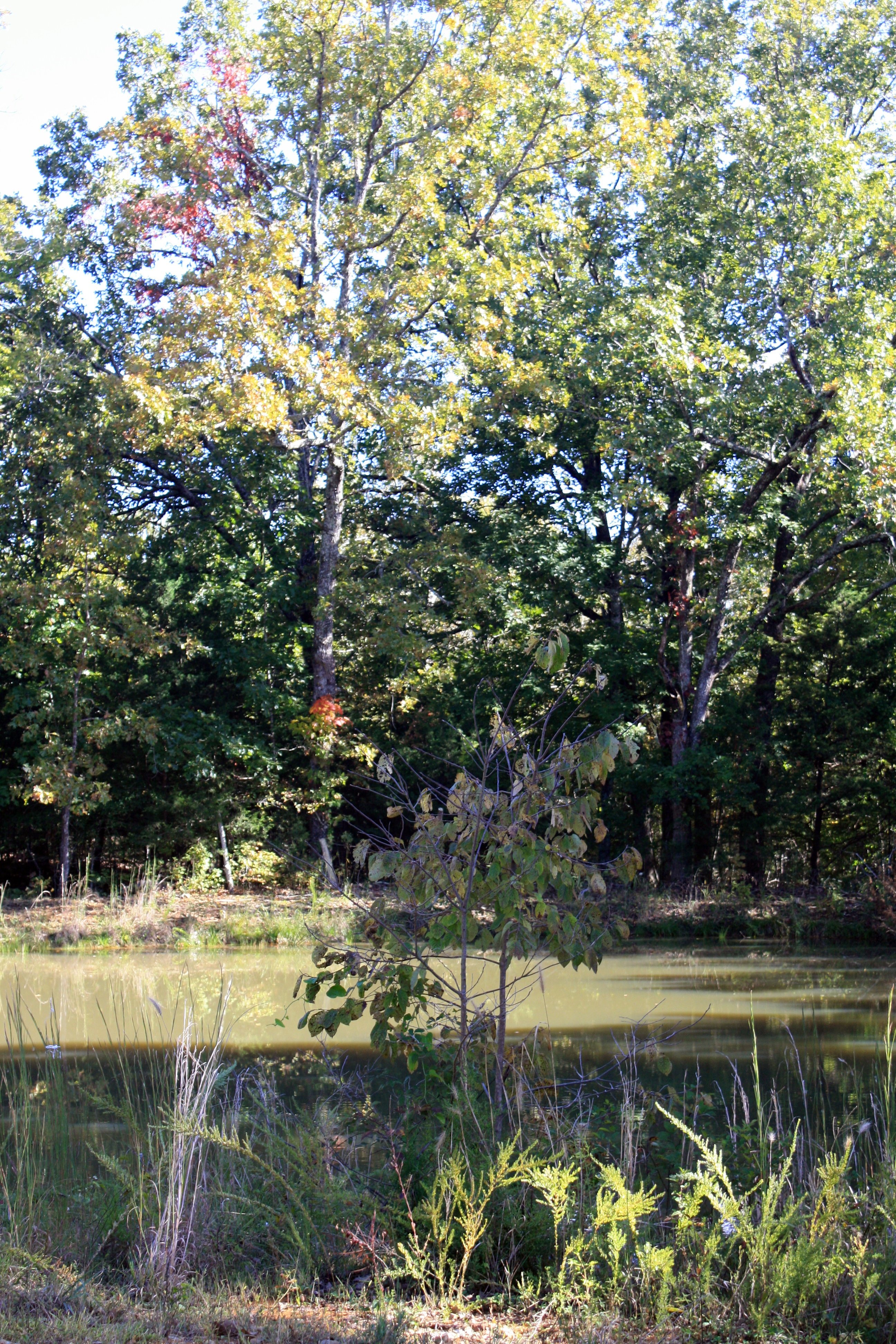
By the pond
Out back
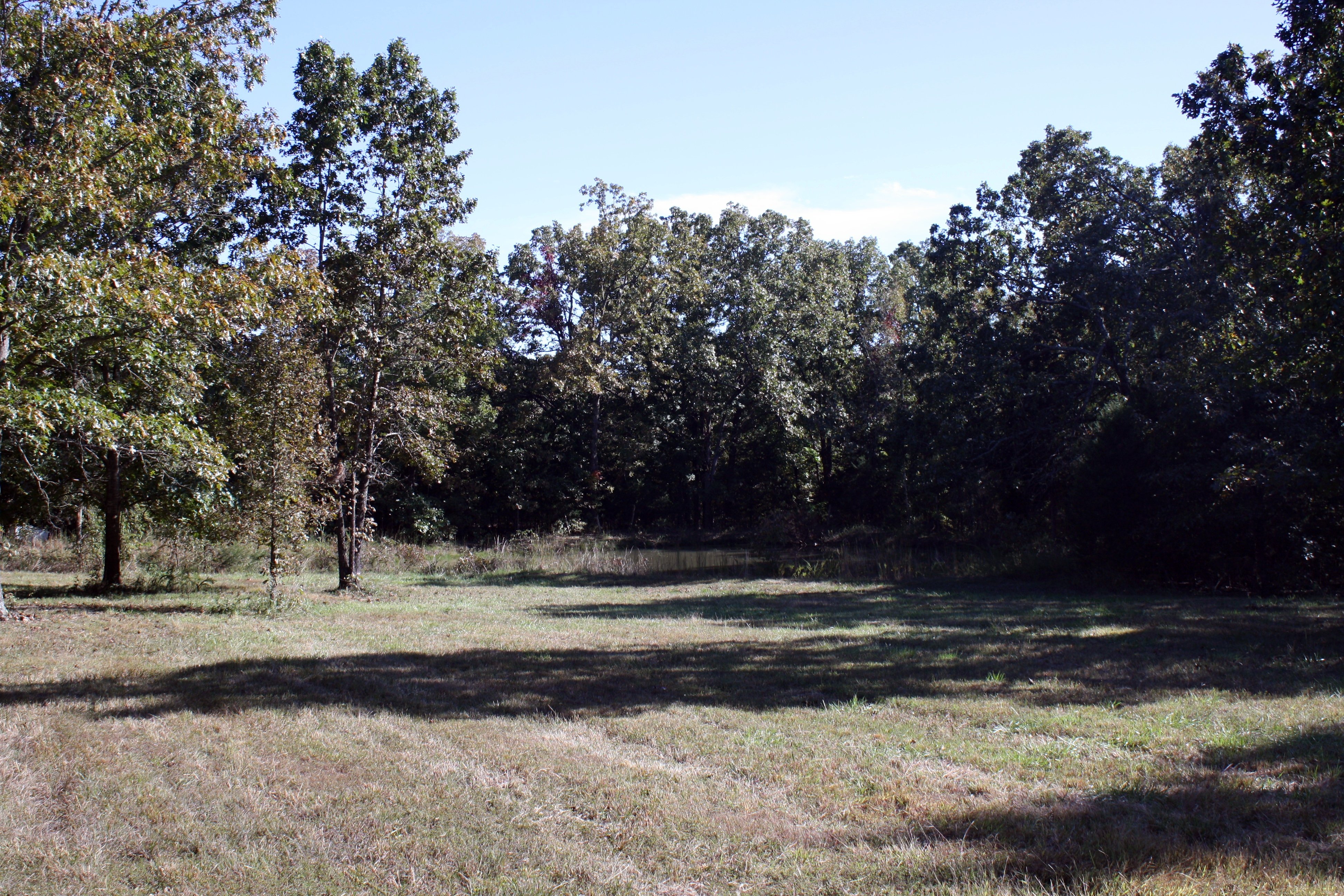
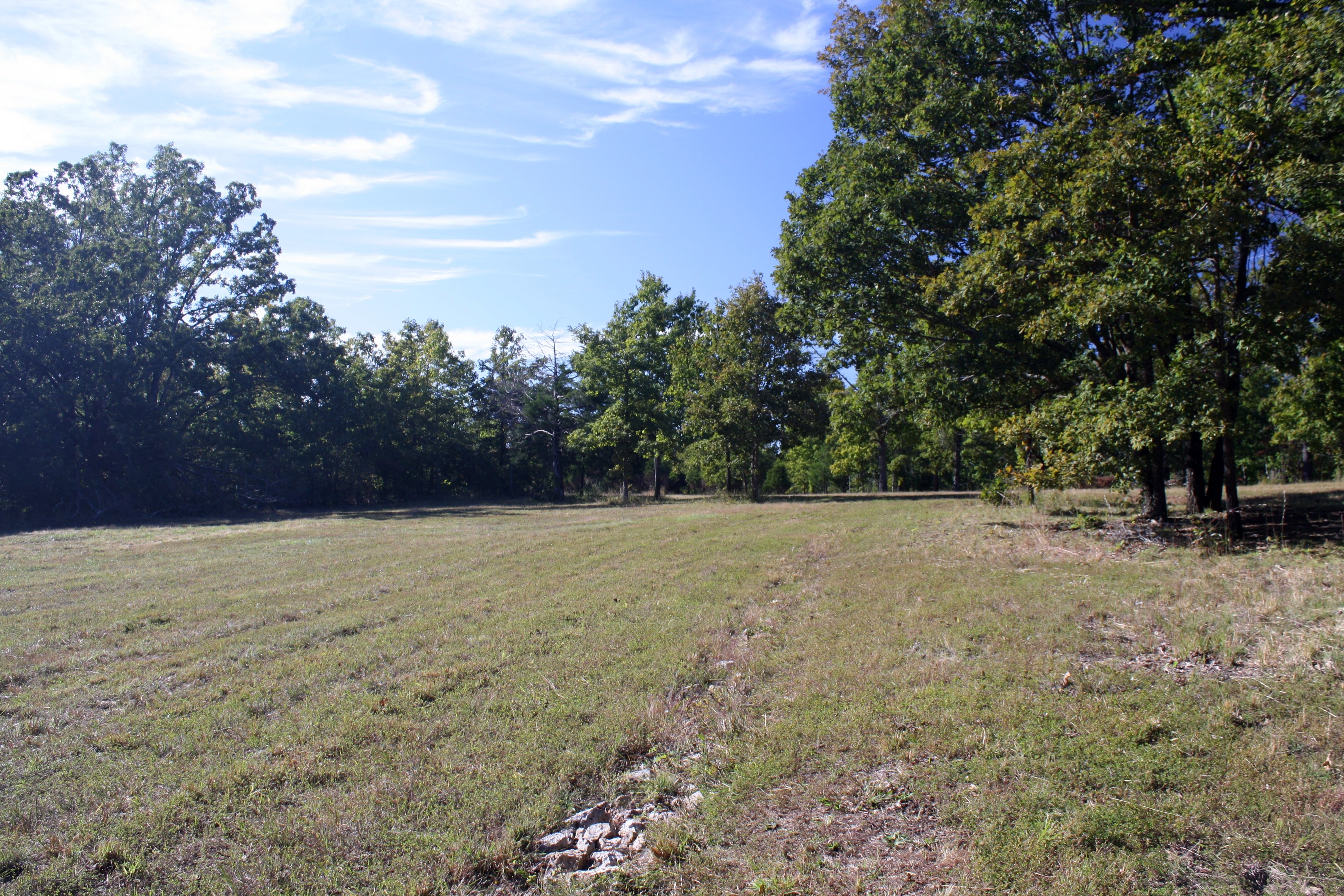
Part of the field and pond
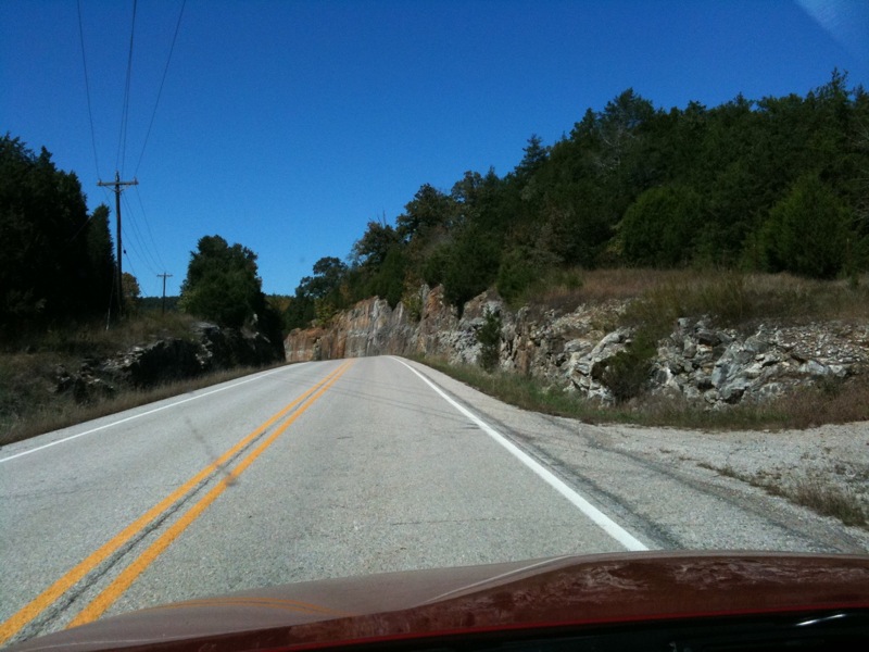
Near Williford
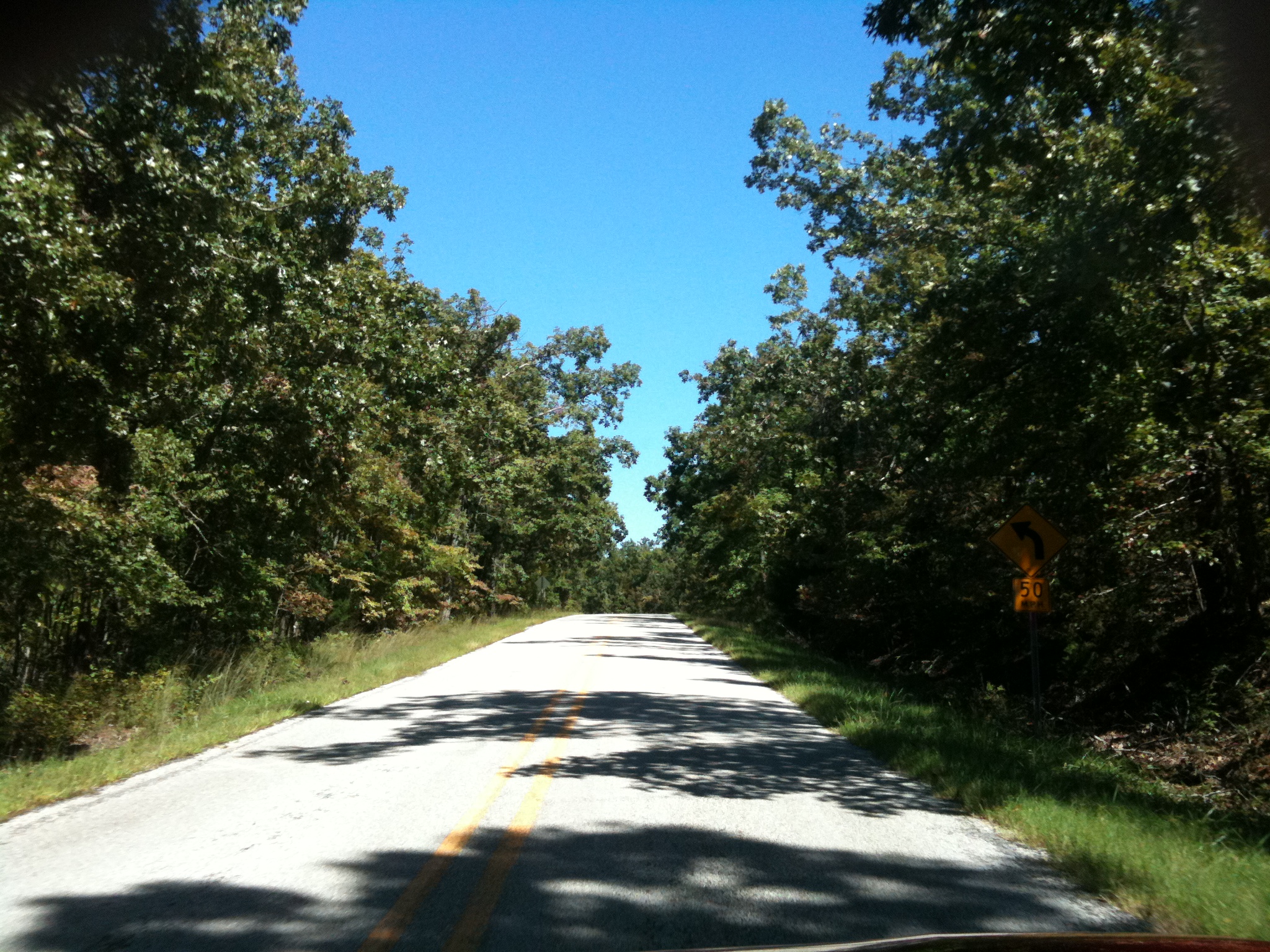
Road to Nowhere
Topographic Map of Strawberry Township, AR, USA
Find elevation by address:

Places in Strawberry Township, AR, USA:
Places near Strawberry Township, AR, USA:
708 Nelsonville Rd
Nelsonville Rd, Smithville, AR, USA
Big Creek Township
AR-58, Poughkeepsie, AR, USA
Poughkeepsie
North Big Rock Township
Copperhead Lane
Sharp County
North Lebanon Township
AR-58, Williford, AR, USA
Scott Township
Cave Township
102 W Red Barn Rd
US-, Cave City, AR, USA
Cave
E Center St, Cave City, AR, USA
515 Laman St
515 Laman St
515 Laman St
Cave City
Recent Searches:
- Elevation map of Greenland, Greenland
- Elevation of Sullivan Hill, New York, New York, 10002, USA
- Elevation of Morehead Road, Withrow Downs, Charlotte, Mecklenburg County, North Carolina, 28262, USA
- Elevation of 2800, Morehead Road, Withrow Downs, Charlotte, Mecklenburg County, North Carolina, 28262, USA
- Elevation of Yangbi Yi Autonomous County, Yunnan, China
- Elevation of Pingpo, Yangbi Yi Autonomous County, Yunnan, China
- Elevation of Mount Malong, Pingpo, Yangbi Yi Autonomous County, Yunnan, China
- Elevation map of Yongping County, Yunnan, China
- Elevation of North 8th Street, Palatka, Putnam County, Florida, 32177, USA
- Elevation of 107, Big Apple Road, East Palatka, Putnam County, Florida, 32131, USA
- Elevation of Jiezi, Chongzhou City, Sichuan, China
- Elevation of Chongzhou City, Sichuan, China
- Elevation of Huaiyuan, Chongzhou City, Sichuan, China
- Elevation of Qingxia, Chengdu, Sichuan, China
- Elevation of Corso Fratelli Cairoli, 35, Macerata MC, Italy
- Elevation of Tallevast Rd, Sarasota, FL, USA
- Elevation of 4th St E, Sonoma, CA, USA
- Elevation of Black Hollow Rd, Pennsdale, PA, USA
- Elevation of Oakland Ave, Williamsport, PA, USA
- Elevation of Pedrógão Grande, Portugal