Elevation of Cave City, AR, USA
Location: United States > Arkansas > Sharp County > Cave Township >
Longitude: -91.548470
Latitude: 35.9417397
Elevation: 205m / 673feet
Barometric Pressure: 99KPa
Elevation Map:
Satellite Map:
Related Photos:

Nature 3G
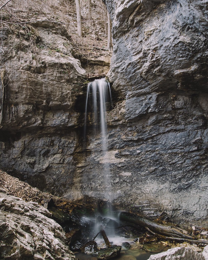
24' Lower Armadillo Falls, Lost Valley State Park, Arkansas
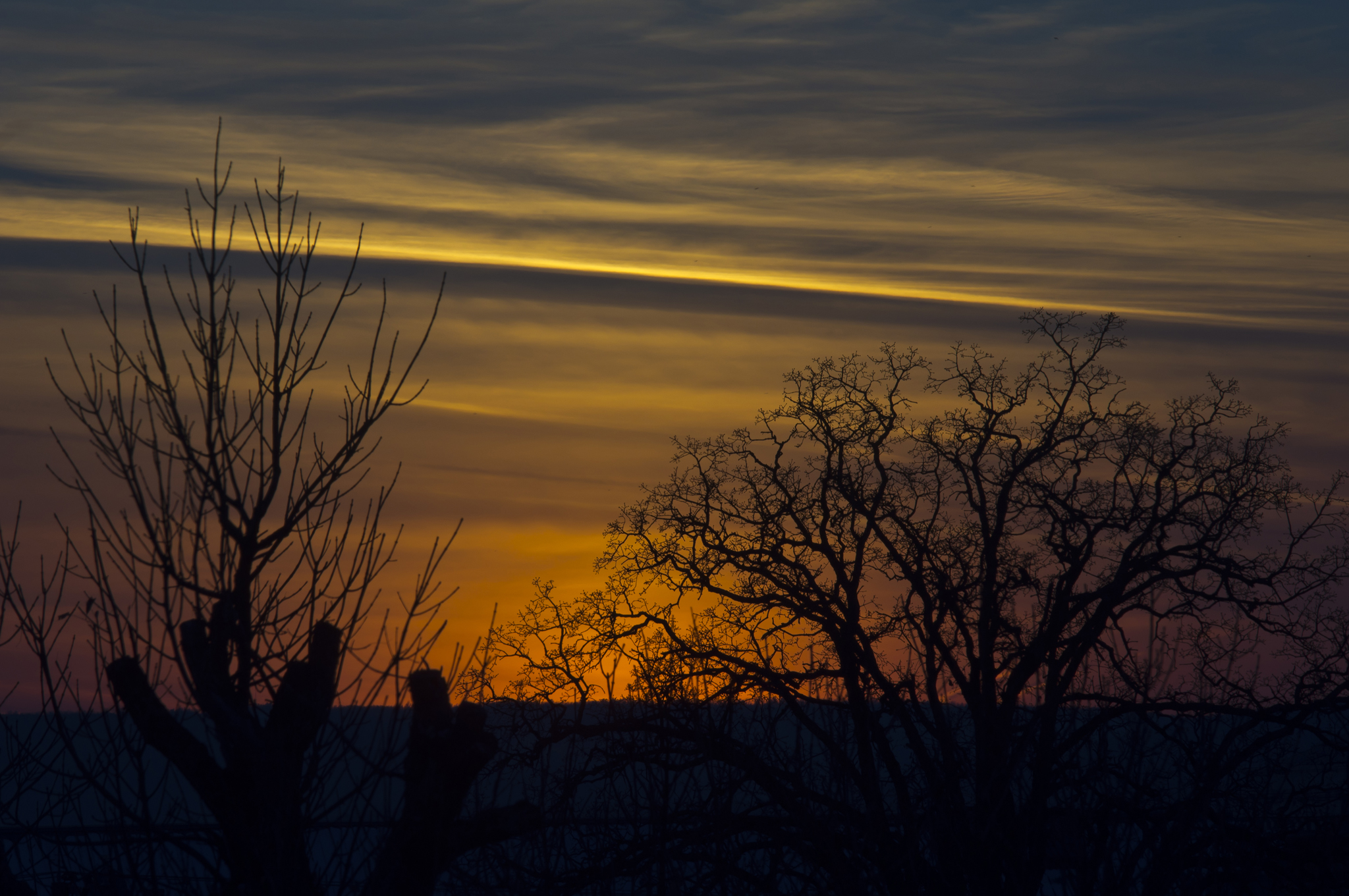
More Sunset Shots from my Desk
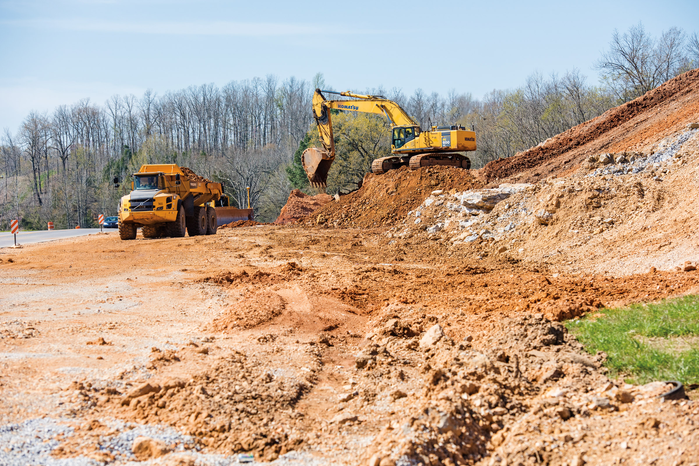
Hwy. 167 widening
Topographic Map of Cave City, AR, USA
Find elevation by address:

Places in Cave City, AR, USA:
Places near Cave City, AR, USA:
E Center St, Cave City, AR, USA
Cave
500 Matlock Rd
515 Laman St
515 Laman St
515 Laman St
Cave Township
Barren Township
US-, Cave City, AR, USA
1005 Sunset Ridge
East Sullivan Township
671 Antioch Rd
102 W Red Barn Rd
West Sullivan Township
Scott Township
Sidney Rd, Sidney, AR, USA
Sidney
Copperhead Lane
Big Creek Township
Barren Fork Township
Recent Searches:
- Elevation of Corso Fratelli Cairoli, 35, Macerata MC, Italy
- Elevation of Tallevast Rd, Sarasota, FL, USA
- Elevation of 4th St E, Sonoma, CA, USA
- Elevation of Black Hollow Rd, Pennsdale, PA, USA
- Elevation of Oakland Ave, Williamsport, PA, USA
- Elevation of Pedrógão Grande, Portugal
- Elevation of Klee Dr, Martinsburg, WV, USA
- Elevation of Via Roma, Pieranica CR, Italy
- Elevation of Tavkvetili Mountain, Georgia
- Elevation of Hartfords Bluff Cir, Mt Pleasant, SC, USA