Elevation of West Sullivan Township, AR, USA
Location: United States > Arkansas > Sharp County >
Longitude: -91.6566377
Latitude: 35.9691656
Elevation: 190m / 623feet
Barometric Pressure: 0KPa
Related Photos:
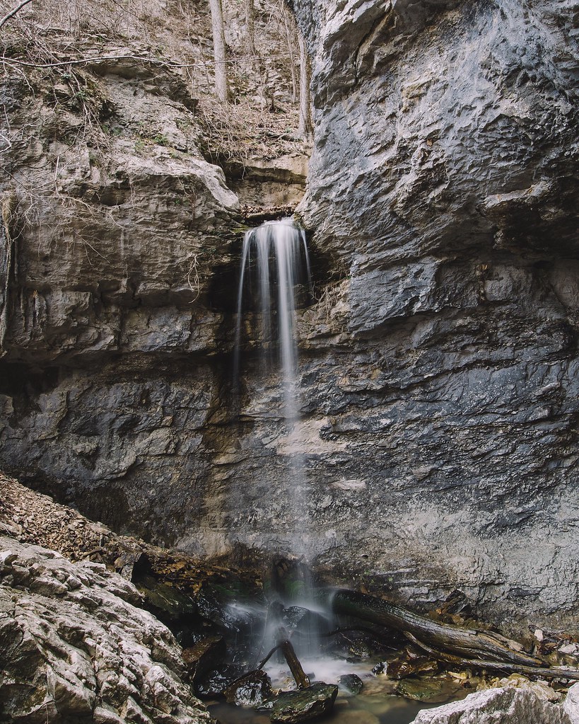
24' Lower Armadillo Falls, Lost Valley State Park, Arkansas
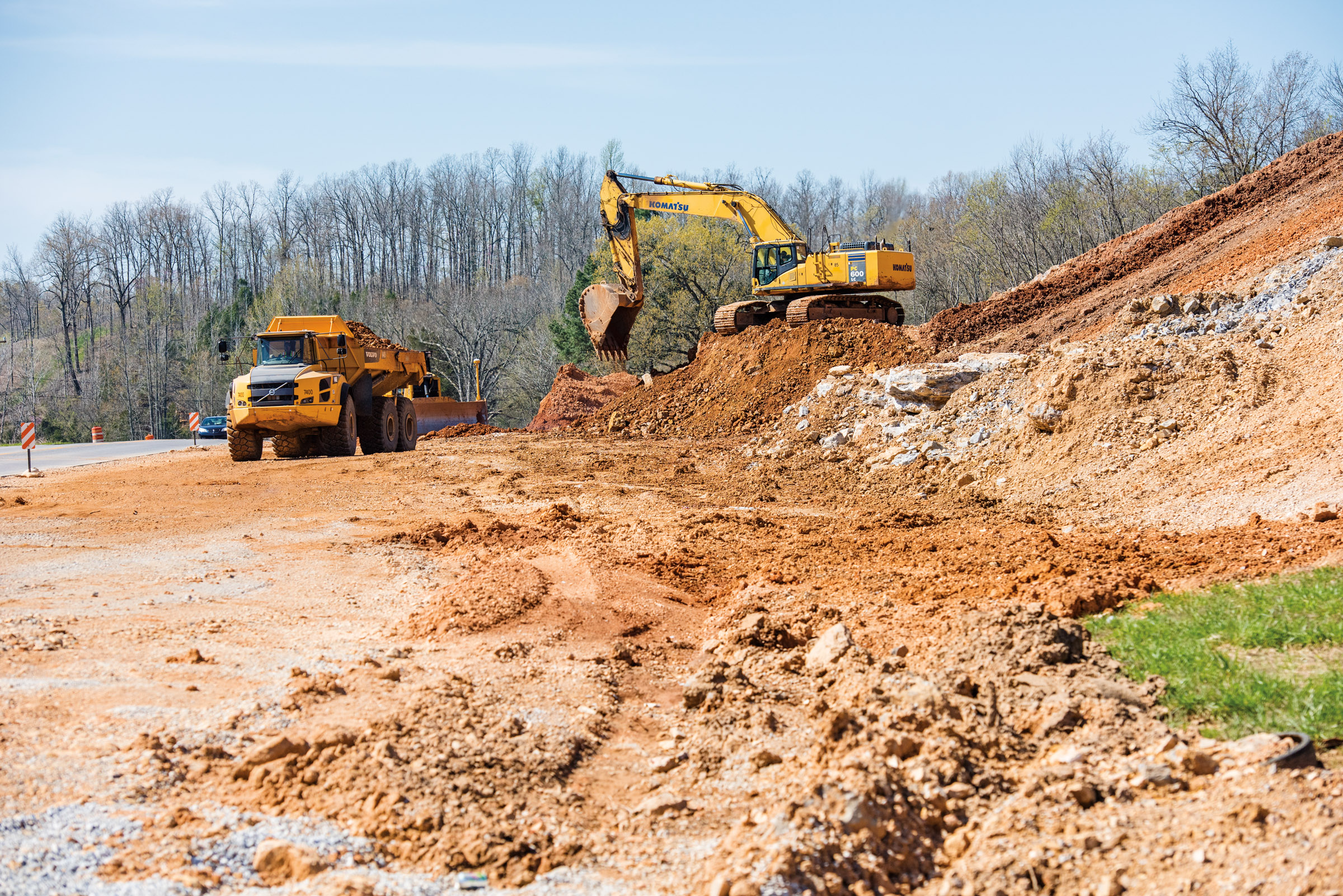
Hwy. 167 widening
Topographic Map of West Sullivan Township, AR, USA
Find elevation by address:

Places in West Sullivan Township, AR, USA:
Places near West Sullivan Township, AR, USA:
Sidney
Sidney Rd, Sidney, AR, USA
East Sullivan Township
US-, Cave City, AR, USA
Barren Fork Township
102 W Red Barn Rd
8496 Ar-69
Mount Pleasant
515 Laman St
515 Laman St
515 Laman St
500 Matlock Rd
Cave City
Cave
E Center St, Cave City, AR, USA
Cave Township
Cushman
Barren Township
1005 Sunset Ridge
671 Antioch Rd
Recent Searches:
- Elevation map of Greenland, Greenland
- Elevation of Sullivan Hill, New York, New York, 10002, USA
- Elevation of Morehead Road, Withrow Downs, Charlotte, Mecklenburg County, North Carolina, 28262, USA
- Elevation of 2800, Morehead Road, Withrow Downs, Charlotte, Mecklenburg County, North Carolina, 28262, USA
- Elevation of Yangbi Yi Autonomous County, Yunnan, China
- Elevation of Pingpo, Yangbi Yi Autonomous County, Yunnan, China
- Elevation of Mount Malong, Pingpo, Yangbi Yi Autonomous County, Yunnan, China
- Elevation map of Yongping County, Yunnan, China
- Elevation of North 8th Street, Palatka, Putnam County, Florida, 32177, USA
- Elevation of 107, Big Apple Road, East Palatka, Putnam County, Florida, 32131, USA
- Elevation of Jiezi, Chongzhou City, Sichuan, China
- Elevation of Chongzhou City, Sichuan, China
- Elevation of Huaiyuan, Chongzhou City, Sichuan, China
- Elevation of Qingxia, Chengdu, Sichuan, China
- Elevation of Corso Fratelli Cairoli, 35, Macerata MC, Italy
- Elevation of Tallevast Rd, Sarasota, FL, USA
- Elevation of 4th St E, Sonoma, CA, USA
- Elevation of Black Hollow Rd, Pennsdale, PA, USA
- Elevation of Oakland Ave, Williamsport, PA, USA
- Elevation of Pedrógão Grande, Portugal