Elevation of North Lebanon Township, AR, USA
Location: United States > Arkansas > Sharp County >
Longitude: -91.414482
Latitude: 36.1787991
Elevation: 152m / 499feet
Barometric Pressure: 100KPa
Elevation Map:
Satellite Map:
Related Photos:
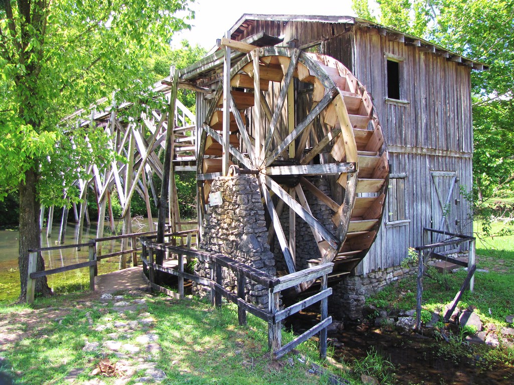
IMG_2061
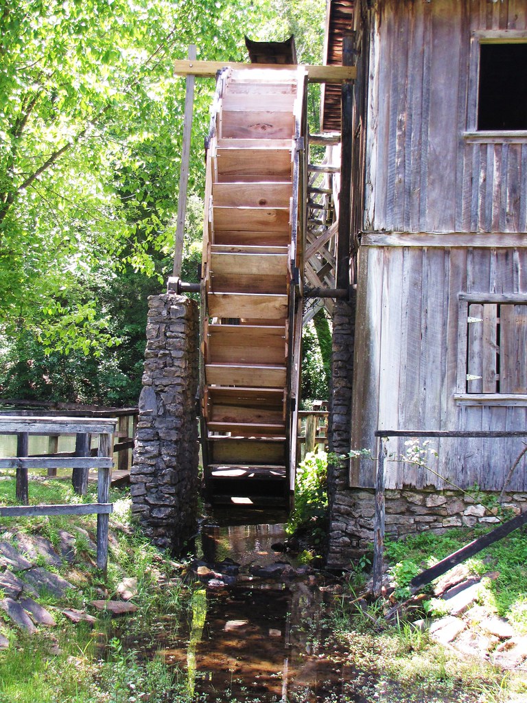
IMG_2065
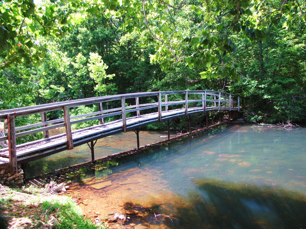
IMG_2069
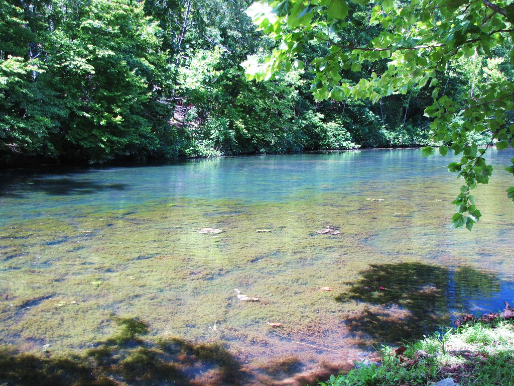
IMG_2077
IMG_2075
IMG_2060

IMG_2078
IMG_2063
IMG_2070
IMG_2076
IMG_2066

Fire Sky
Day 39-42 028
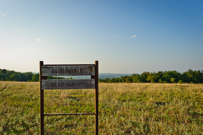
Buchanan Mountain-1
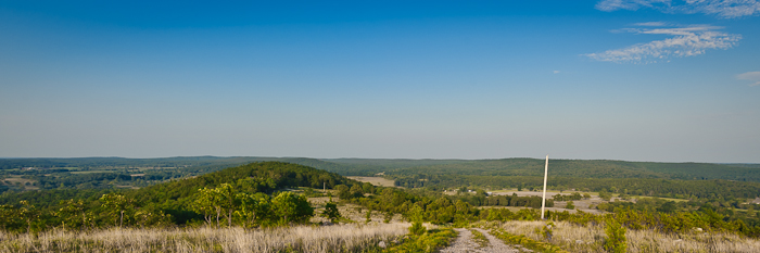
Buchanan Mountain-3
Buchanan Mountain-2
Day 39-42 025
As the sun sets...
IMAG0195.jpg

Perched on a Leaf

Back yard

IMAG0198.jpg
IMAG0196.jpg
Topographic Map of North Lebanon Township, AR, USA
Find elevation by address:

Places in North Lebanon Township, AR, USA:
Places near North Lebanon Township, AR, USA:
AR-58, Williford, AR, USA
Sharp County
Strawberry Township
Nelsonville Rd, Smithville, AR, USA
708 Nelsonville Rd
AR-58, Poughkeepsie, AR, USA
Poughkeepsie
Highland Township
24 Highland Cove Dr, Highland, AR, USA
North Big Rock Township
29 B Johns Rd
Hardy Township
Highland
East Valley Drive
117 E Main St
E Main St, Hardy, AR, USA
Hardy
Sequoyah Ridge Rd, Cherokee Village, AR, USA
Cherokee Village
145 Briarwood Dr
Recent Searches:
- Elevation of Corso Fratelli Cairoli, 35, Macerata MC, Italy
- Elevation of Tallevast Rd, Sarasota, FL, USA
- Elevation of 4th St E, Sonoma, CA, USA
- Elevation of Black Hollow Rd, Pennsdale, PA, USA
- Elevation of Oakland Ave, Williamsport, PA, USA
- Elevation of Pedrógão Grande, Portugal
- Elevation of Klee Dr, Martinsburg, WV, USA
- Elevation of Via Roma, Pieranica CR, Italy
- Elevation of Tavkvetili Mountain, Georgia
- Elevation of Hartfords Bluff Cir, Mt Pleasant, SC, USA