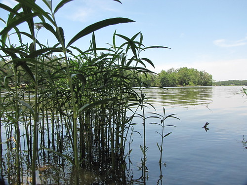
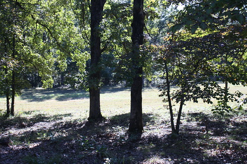
Elevation of Smithville, AR, USA
Location: United States > Arkansas > Sharp County > Strawberry Township >
Longitude: -91.303742
Latitude: 36.0803484
Elevation: 104m / 341feet
Barometric Pressure: 100KPa
Related Photos:
Topographic Map of Smithville, AR, USA
Find elevation by address:

Places in Smithville, AR, USA:
Places near Smithville, AR, USA:
Lynn
28 AR-25, Lynn, AR, USA
AR-, Imboden, AR, USA
Annieville
Annieville Township
Strawberry
26 S Main St, Strawberry, AR, USA
Calamine Rd, Smithville, AR, USA
State Hwy, Strawberry, AR, USA
257 Lawrence Rd 201
Morgan Township
Lawrence Road 261
Dent Township
Black River Township
Reeds Creek Township
291 Lone Oak Rd
Jackson Township
Campbell Road
Imboden
East Main
Recent Searches:
- Elevation of Corso Fratelli Cairoli, 35, Macerata MC, Italy
- Elevation of Tallevast Rd, Sarasota, FL, USA
- Elevation of 4th St E, Sonoma, CA, USA
- Elevation of Black Hollow Rd, Pennsdale, PA, USA
- Elevation of Oakland Ave, Williamsport, PA, USA
- Elevation of Pedrógão Grande, Portugal
- Elevation of Klee Dr, Martinsburg, WV, USA
- Elevation of Via Roma, Pieranica CR, Italy
- Elevation of Tavkvetili Mountain, Georgia
- Elevation of Hartfords Bluff Cir, Mt Pleasant, SC, USA


