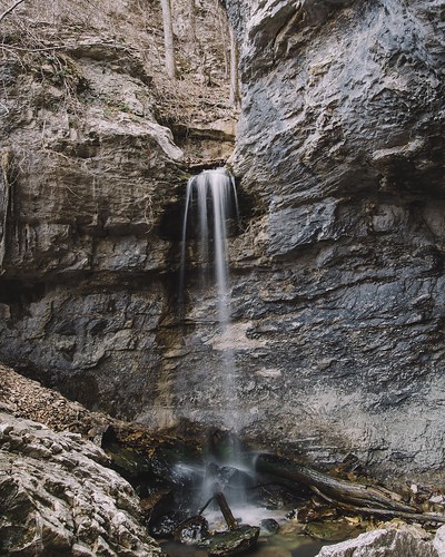
Elevation of Strawberry, AR, USA
Location: United States > Arkansas > Lawrence County > Reeds Creek Township >
Longitude: -91.321242
Latitude: 35.9675725
Elevation: 103m / 338feet
Barometric Pressure: 100KPa
Related Photos:
Topographic Map of Strawberry, AR, USA
Find elevation by address:

Places in Strawberry, AR, USA:
Places near Strawberry, AR, USA:
26 S Main St, Strawberry, AR, USA
Reeds Creek Township
State Hwy, Strawberry, AR, USA
28 AR-25, Lynn, AR, USA
Lynn
Calamine Rd, Smithville, AR, USA
Morgan Township
Smithville
Cord Rd, Cord, AR, USA
Black River-marshell Township
Cord
Lawrence County
Black River Township
Law, Alicia, AR, USA
Lawrence Road 261
Jackson Cty Rd 69, Tuckerman, AR, USA
AR-, Imboden, AR, USA
Annieville
Annieville Township
Lawrence Township
Recent Searches:
- Elevation of Corso Fratelli Cairoli, 35, Macerata MC, Italy
- Elevation of Tallevast Rd, Sarasota, FL, USA
- Elevation of 4th St E, Sonoma, CA, USA
- Elevation of Black Hollow Rd, Pennsdale, PA, USA
- Elevation of Oakland Ave, Williamsport, PA, USA
- Elevation of Pedrógão Grande, Portugal
- Elevation of Klee Dr, Martinsburg, WV, USA
- Elevation of Via Roma, Pieranica CR, Italy
- Elevation of Tavkvetili Mountain, Georgia
- Elevation of Hartfords Bluff Cir, Mt Pleasant, SC, USA
