Elevation of Cord, AR, USA
Location: United States > Arkansas > Independence County > Black River-marshell Township >
Longitude: -91.343464
Latitude: 35.8120199
Elevation: 102m / 335feet
Barometric Pressure: 100KPa
Elevation Map:
Satellite Map:
Related Photos:
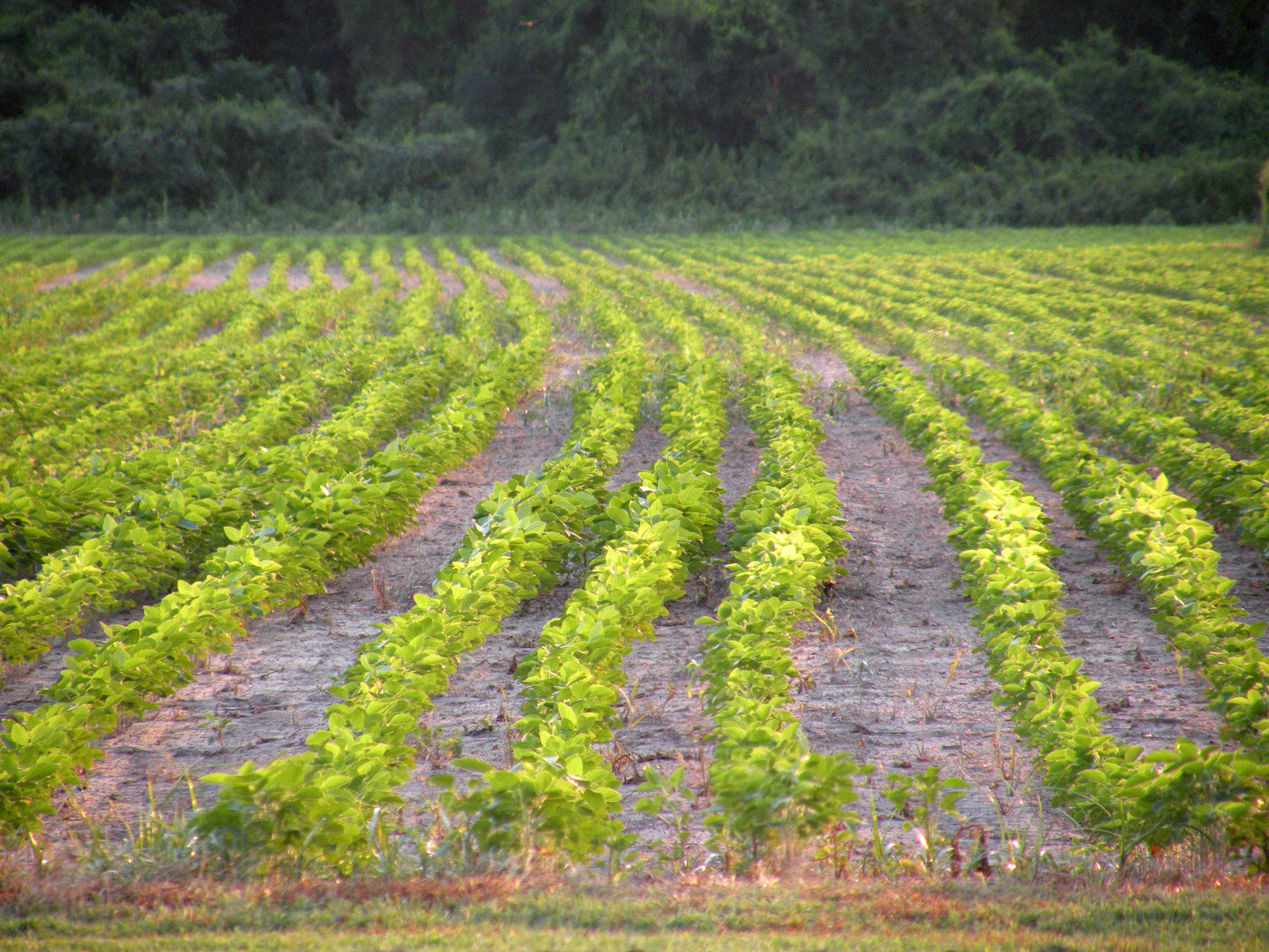
Tuckerman Fields
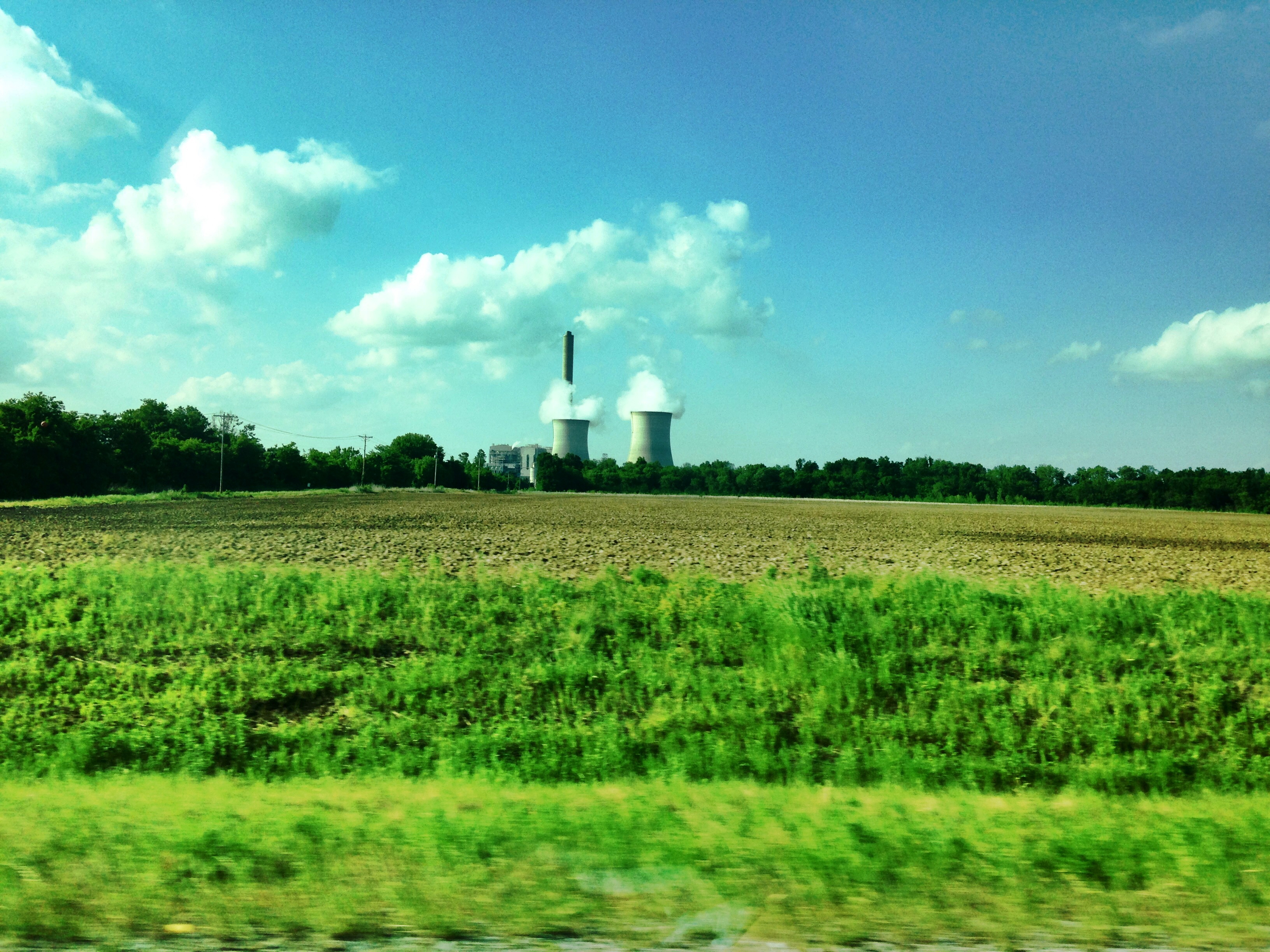
2014-05-10 006
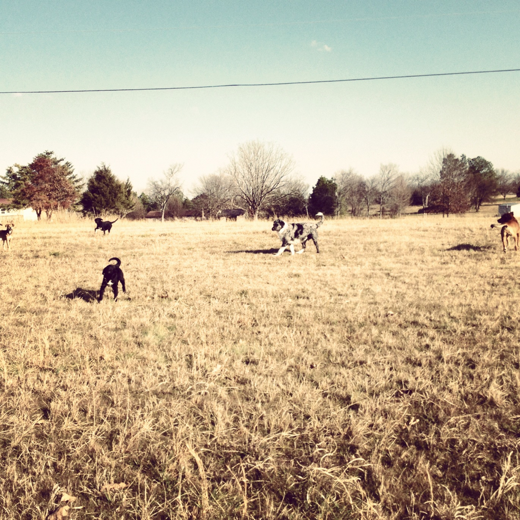
Pack Of Dogs
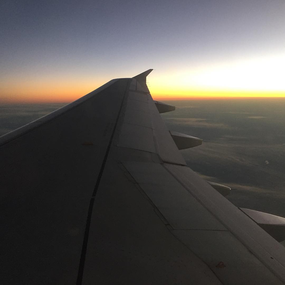
Sunset over Arkansas on way home. Guy in front of us has talked non-stop for three hours. Thankful for earbuds and playlists. #drownoutthenoise #airtravelsucks #headinghome

Storms Building
Topographic Map of Cord, AR, USA
Find elevation by address:

Places in Cord, AR, USA:
Places near Cord, AR, USA:
Black River-marshell Township
Cord Rd, Cord, AR, USA
Jackson Cty Rd 69, Tuckerman, AR, USA
Reeds Creek Township
Jefferson Township
26 S Main St, Strawberry, AR, USA
Strawberry
Bird Township
88 Yelverton
Tuckerman
Bergen Lake Rd, Newport, AR, USA
Main St, Newport, AR, USA
Campbell Station
Campbell Ln, Tuckerman, AR, USA
Page Drive
AR-, Newport, AR, USA
4602 N Main St
Hwy 67 N, Newport, AR, USA
State Hwy, Strawberry, AR, USA
Diaz
Recent Searches:
- Elevation of Corso Fratelli Cairoli, 35, Macerata MC, Italy
- Elevation of Tallevast Rd, Sarasota, FL, USA
- Elevation of 4th St E, Sonoma, CA, USA
- Elevation of Black Hollow Rd, Pennsdale, PA, USA
- Elevation of Oakland Ave, Williamsport, PA, USA
- Elevation of Pedrógão Grande, Portugal
- Elevation of Klee Dr, Martinsburg, WV, USA
- Elevation of Via Roma, Pieranica CR, Italy
- Elevation of Tavkvetili Mountain, Georgia
- Elevation of Hartfords Bluff Cir, Mt Pleasant, SC, USA