Elevation of Richwoods Township, AR, USA
Location: United States > Arkansas > Sharp County >
Longitude: -91.617801
Latitude: 36.1870904
Elevation: 238m / 781feet
Barometric Pressure: 98KPa
Elevation Map:
Satellite Map:
Related Photos:

Driveway View
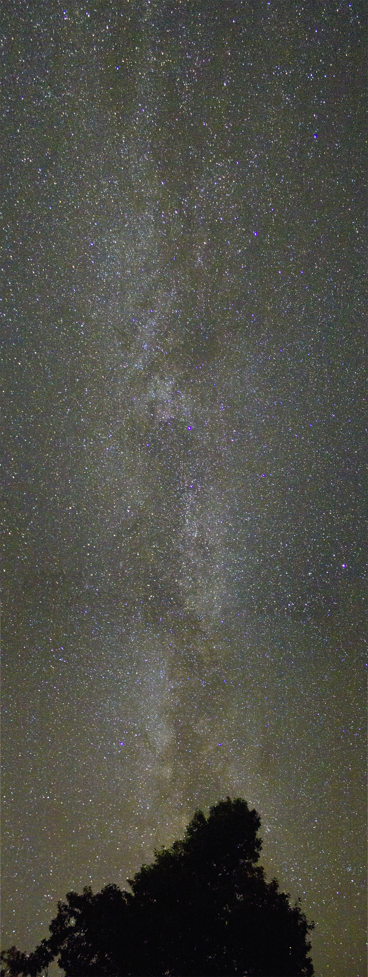
Milky Way

Sunset at Lake Thunderbird III
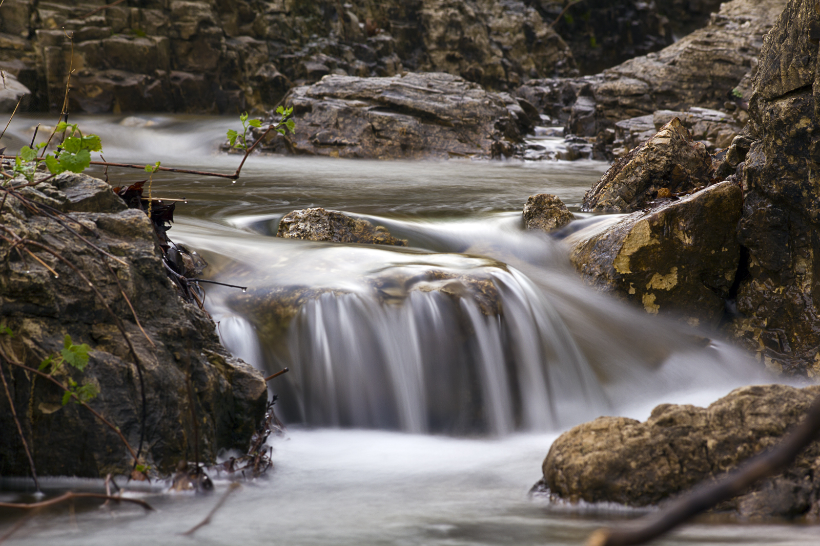
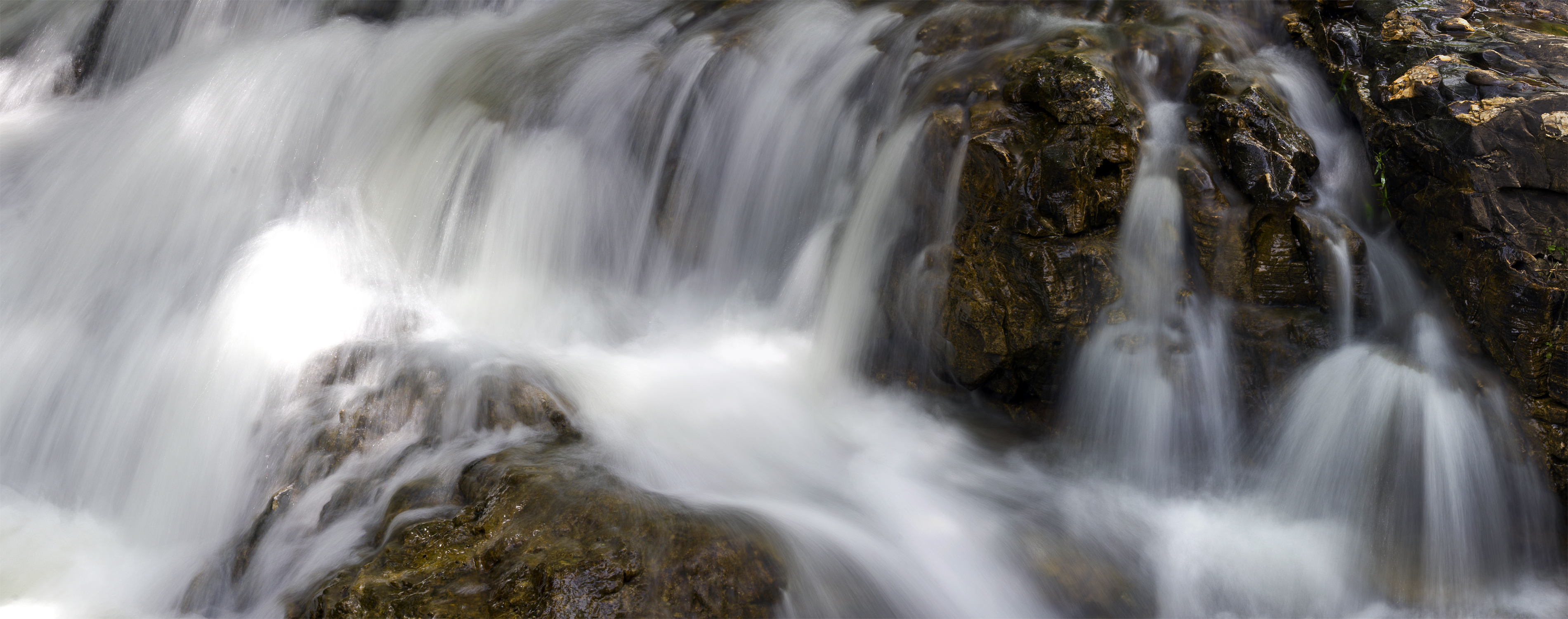
Cherokee Village Cascade
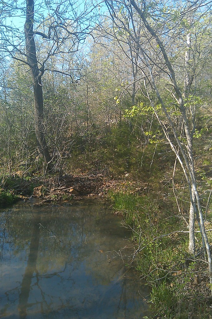
Rainy April Day

Fire Sky

6-1-2015
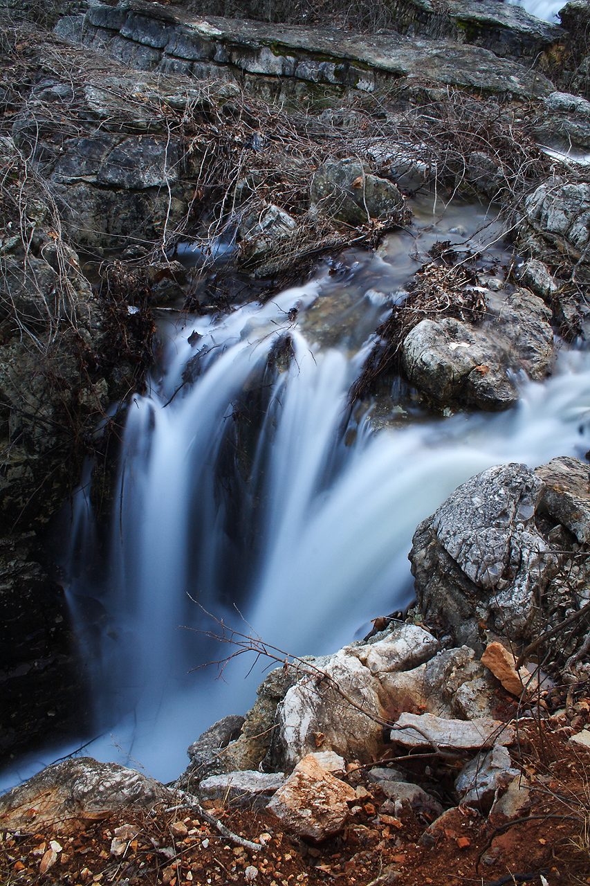
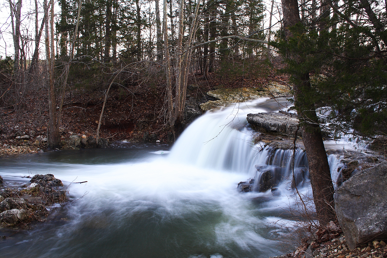
Flooded Falls II
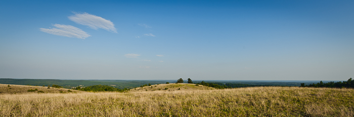
Buchanan Mountain-1
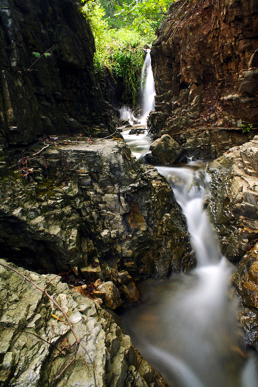
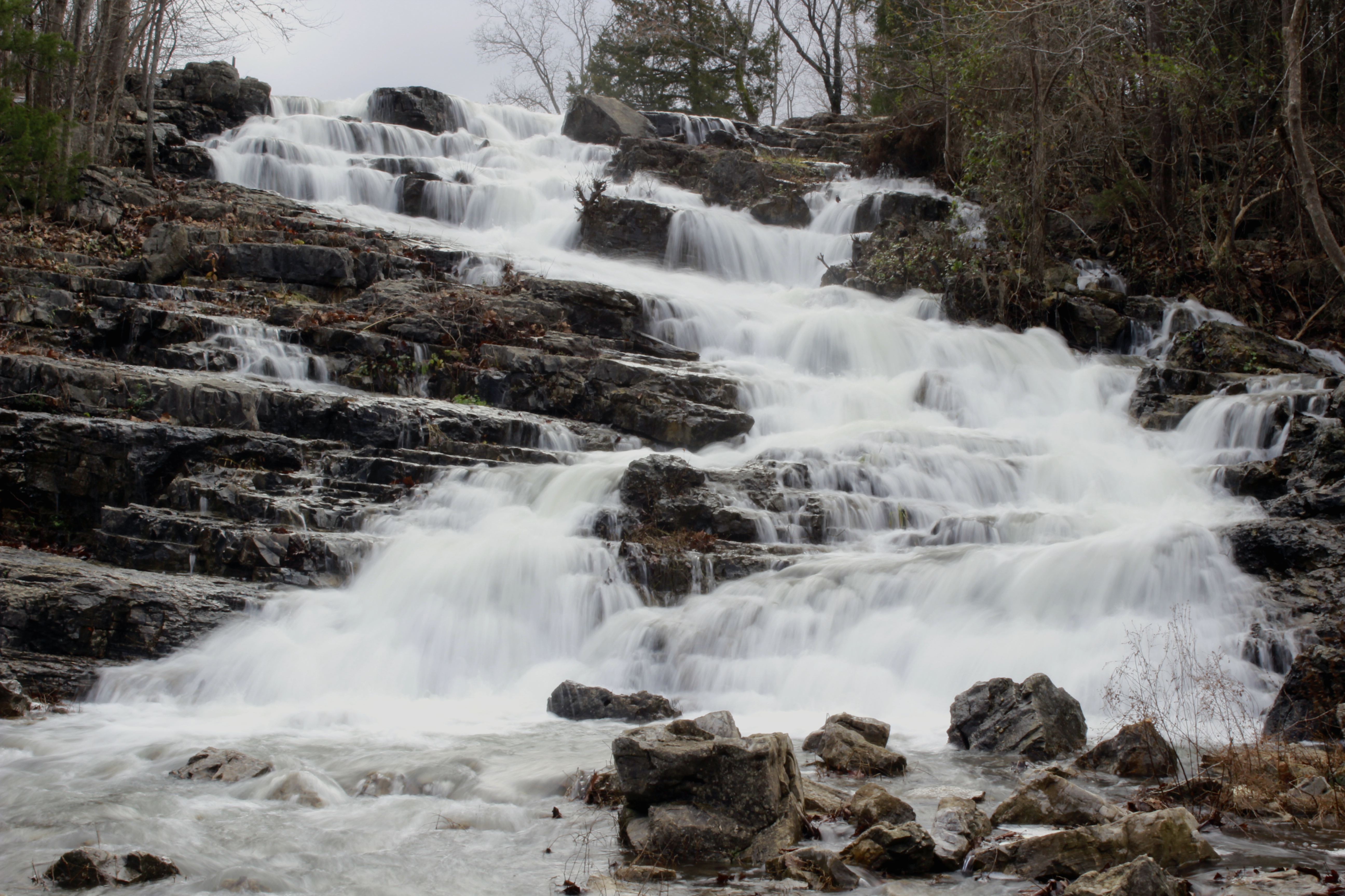
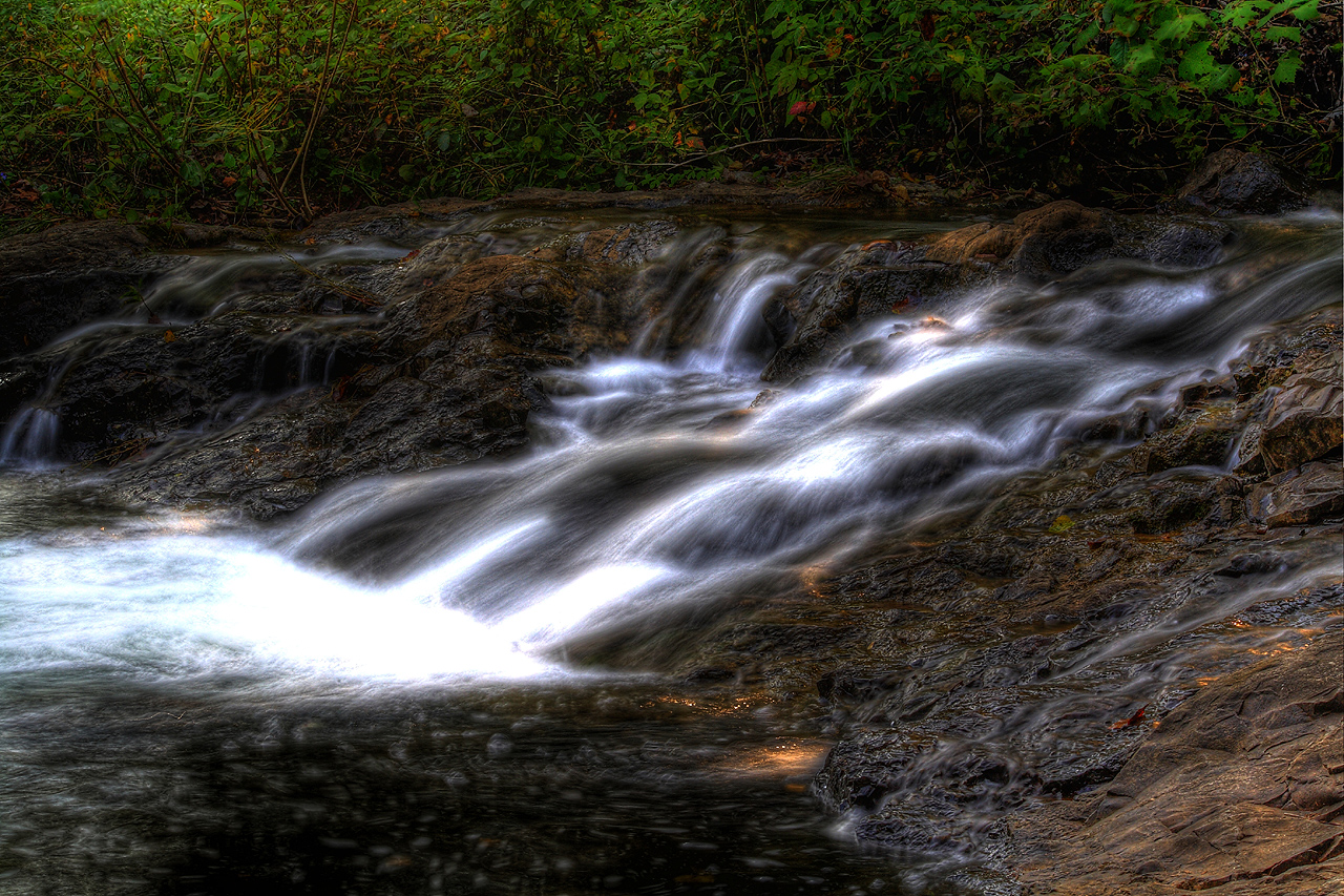
Cherokee Falls I
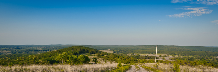
Buchanan Mountain-3
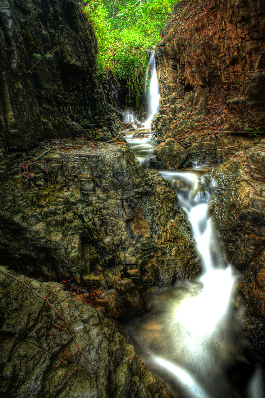
Cherokee Falls HDR I
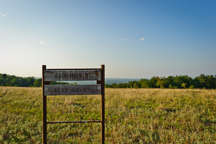
Buchanan Mountain-2

Breaking Waves
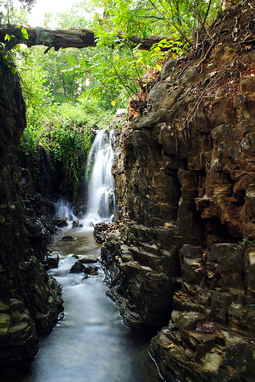
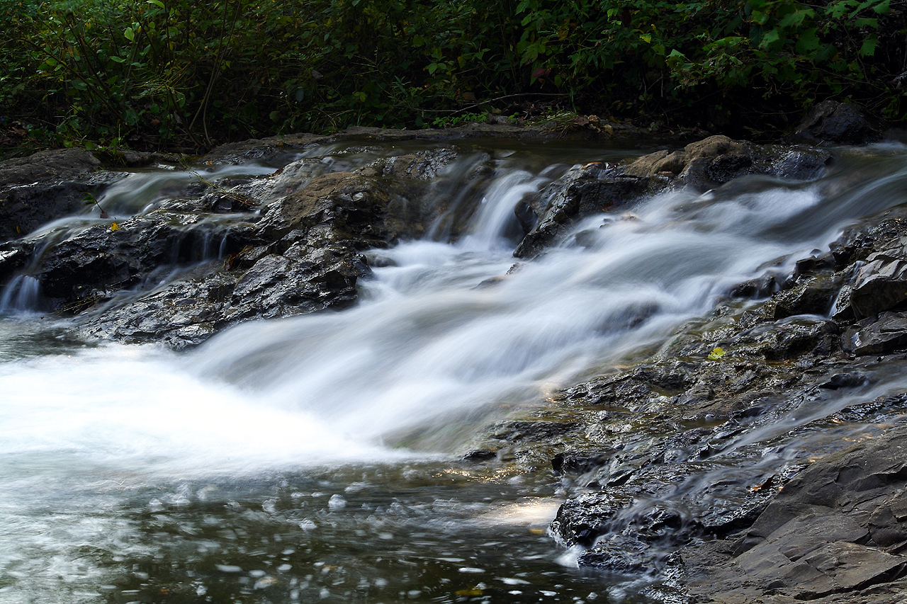
Cherokee Falls II
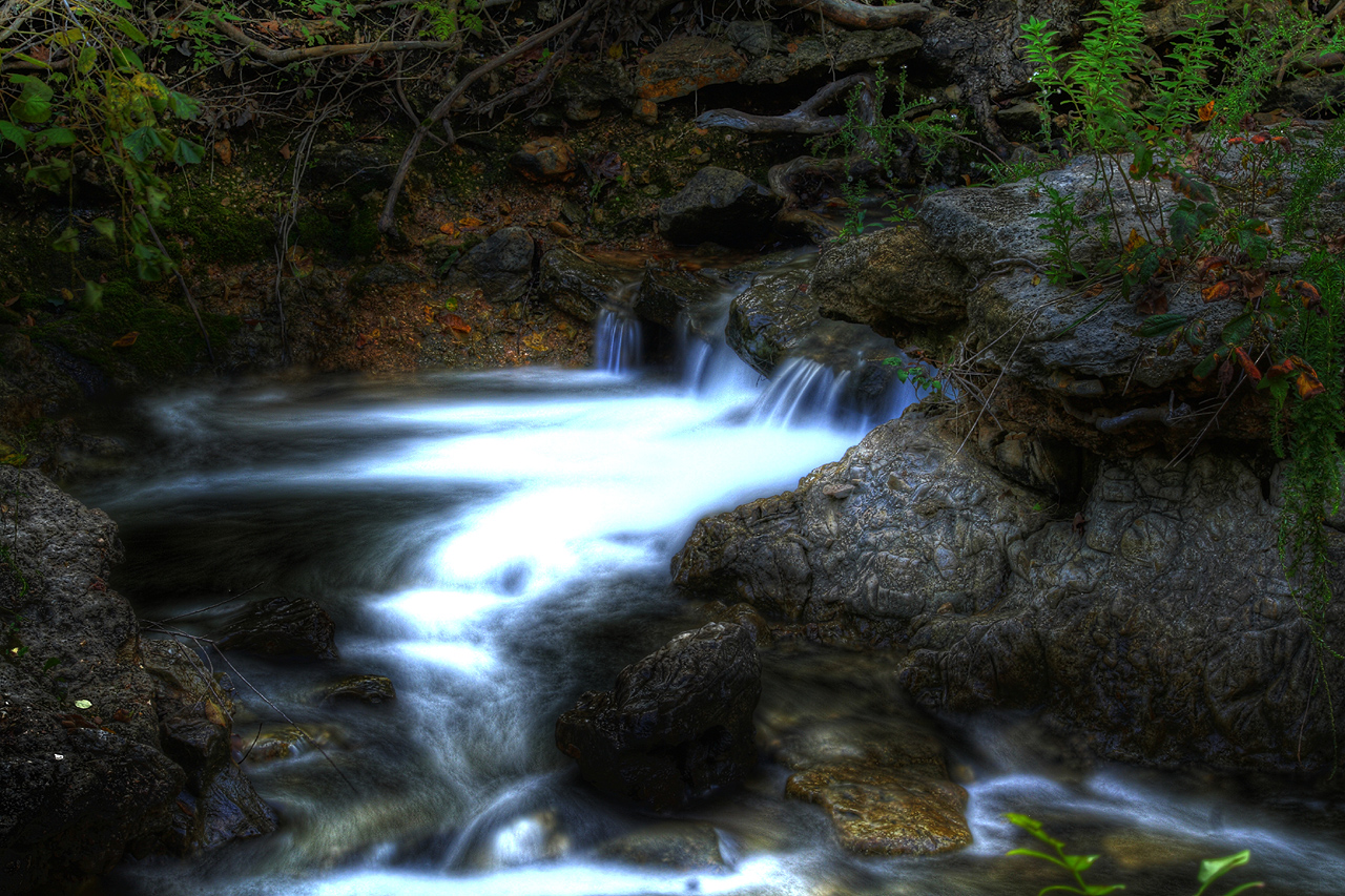
Cherokee Falls HDR II
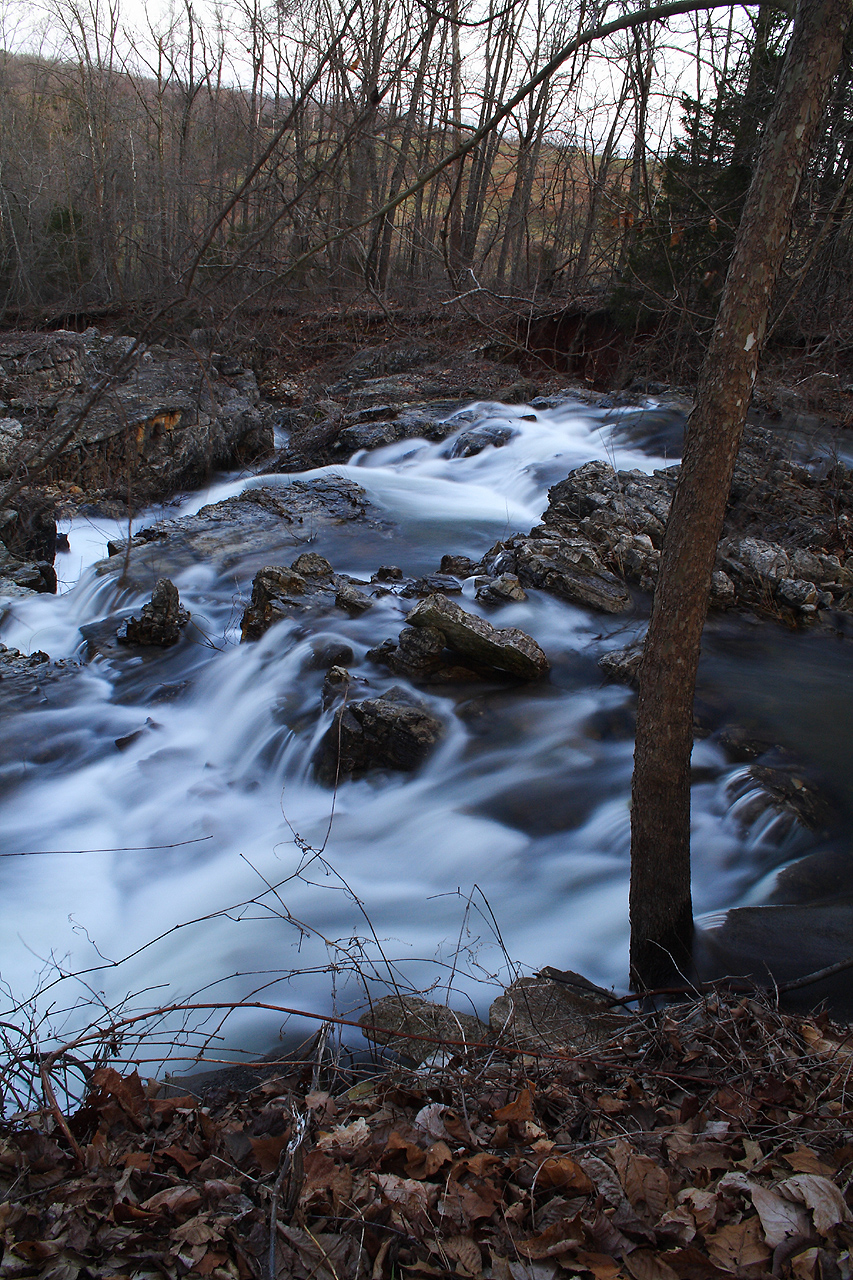
Flooded Falls III
Cherokee Falls HDR III
Flooded Falls I
IMAG0195.jpg
Cherokee Falls IV

IMAG0198.jpg
IMAG0196.jpg
6-1-2015 III
Topographic Map of Richwoods Township, AR, USA
Find elevation by address:

Places in Richwoods Township, AR, USA:
Places near Richwoods Township, AR, USA:
Ash Flat
140 E Campground Rd
148 E Campground Rd
148 E Campground Rd
148 E Campground Rd
150 E Campground Rd
Lave Creek Township
Ballard
2204 E Diamond Lake Dr
21 Nameoki Dr
99 Park Cir
29 B Johns Rd
Evening Shade
Springfield Ave, Horseshoe Bend, AR, USA
67 Pinal Cir
1005 S Edgewater Rd
1000 Wisconsin Ave
Jefferson Township
24 Highland Cove Dr, Highland, AR, USA
Highland
Recent Searches:
- Elevation of Corso Fratelli Cairoli, 35, Macerata MC, Italy
- Elevation of Tallevast Rd, Sarasota, FL, USA
- Elevation of 4th St E, Sonoma, CA, USA
- Elevation of Black Hollow Rd, Pennsdale, PA, USA
- Elevation of Oakland Ave, Williamsport, PA, USA
- Elevation of Pedrógão Grande, Portugal
- Elevation of Klee Dr, Martinsburg, WV, USA
- Elevation of Via Roma, Pieranica CR, Italy
- Elevation of Tavkvetili Mountain, Georgia
- Elevation of Hartfords Bluff Cir, Mt Pleasant, SC, USA