Elevation of Miller County, AR, USA
Location: United States > Arkansas >
Longitude: -93.865530
Latitude: 33.3335556
Elevation: 83m / 272feet
Barometric Pressure: 100KPa
Elevation Map:
Satellite Map:
Related Photos:

Swamp Reflections

Cypress Knees

Fabulous Fungus
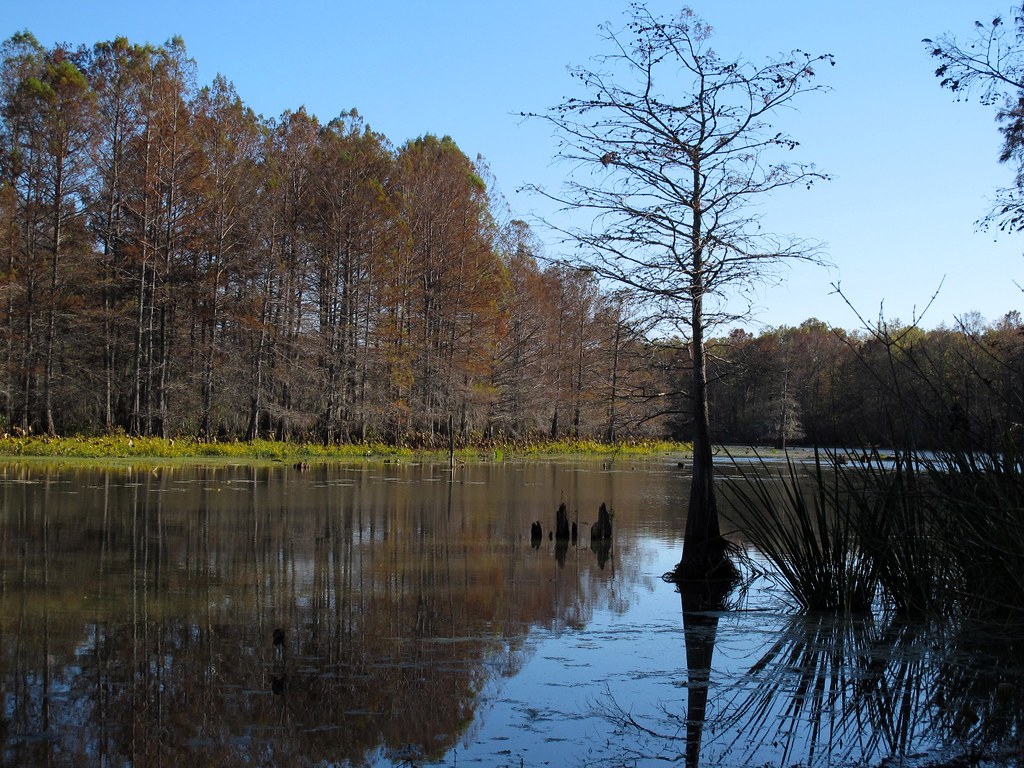
Autumn in Swampland
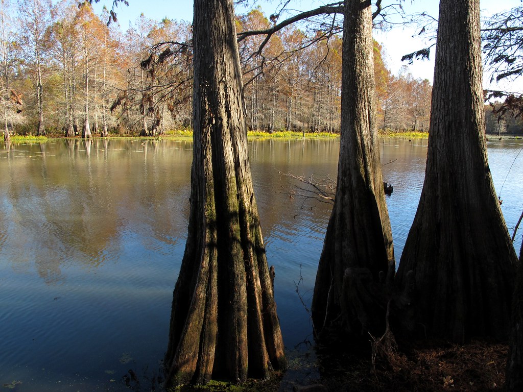
Down on the Bayou
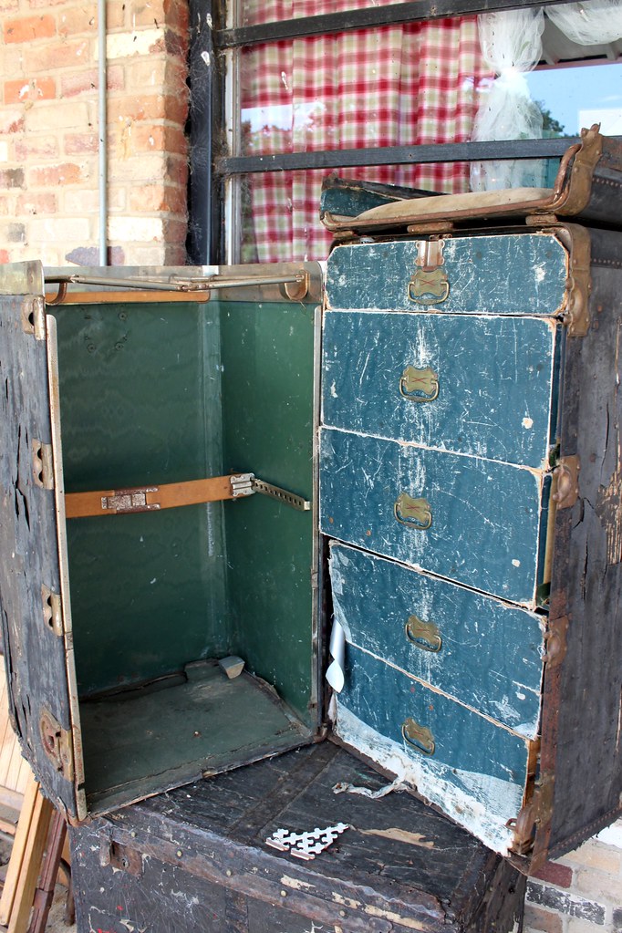
Wardrobe Case
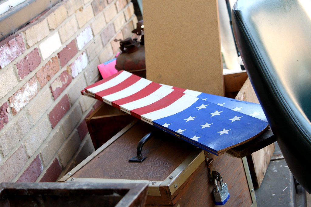
Star Spangles Banner

The Inside

Coke Glasses

Hot Tub Party

The Inside

Handmade Blanket

Coke Pictures

Meet the Owner

Smokin'
Topographic Map of Miller County, AR, USA
Find elevation by address:

Places in Miller County, AR, USA:
Places near Miller County, AR, USA:
Cleveland Township
Genoa
Co Rd 18, Fouke, AR, USA
Miller County 10, Fouke, AR, USA
2nd St, Texarkana, AR, USA
US-71, Fouke, AR, USA
Fouke
Miller County 40, Fouke, AR, USA
US-71, Texarkana, AR, USA
Co Rd 9, Fouke, AR, USA
Beech Township
Poole Rd, Texarkana, AR, USA
6512 Tennessee Rd
Garland Township
South Valley Drive
Summit Dr, Texarkana, AR, USA
County Road 444
Greenwich Village
State Hwy, Texarkana, AR, USA
Genoa Rd, Texarkana, AR, USA
Recent Searches:
- Elevation of Corso Fratelli Cairoli, 35, Macerata MC, Italy
- Elevation of Tallevast Rd, Sarasota, FL, USA
- Elevation of 4th St E, Sonoma, CA, USA
- Elevation of Black Hollow Rd, Pennsdale, PA, USA
- Elevation of Oakland Ave, Williamsport, PA, USA
- Elevation of Pedrógão Grande, Portugal
- Elevation of Klee Dr, Martinsburg, WV, USA
- Elevation of Via Roma, Pieranica CR, Italy
- Elevation of Tavkvetili Mountain, Georgia
- Elevation of Hartfords Bluff Cir, Mt Pleasant, SC, USA