Elevation of Miller County 40, Fouke, AR, USA
Location: United States > Arkansas > Miller County > Beech Township > Fouke >
Longitude: -93.825626
Latitude: 33.256372
Elevation: 85m / 279feet
Barometric Pressure: 100KPa
Elevation Map:
Satellite Map:
Related Photos:

Swamp Reflections

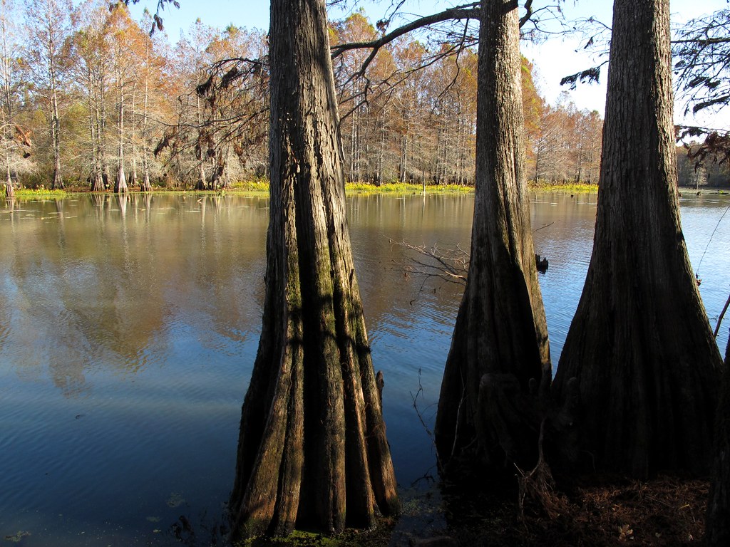
Cypress Knees
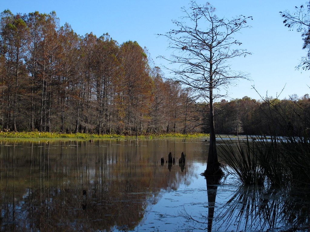
Autumn in Swampland
Down on the Bayou

Fabulous Fungus

Cryptopalooza: Day 3

Smokin'
Topographic Map of Miller County 40, Fouke, AR, USA
Find elevation by address:

Places near Miller County 40, Fouke, AR, USA:
Co Rd 9, Fouke, AR, USA
Fouke
Beech Township
Miller County
Cleveland Township
US-71, Bradley, AR, USA
US-71, Fouke, AR, USA
Co Rd 18, Fouke, AR, USA
Miller County 10, Fouke, AR, USA
Genoa
2nd St, Texarkana, AR, USA
US-71, Texarkana, AR, USA
AR-, Bradley, AR, USA
Doddridge
Days Creek Township
Sulphur Township
County Road 444
Poole Rd, Texarkana, AR, USA
Lafayette County
AR-, Lewisville, AR, USA
Recent Searches:
- Elevation of Corso Fratelli Cairoli, 35, Macerata MC, Italy
- Elevation of Tallevast Rd, Sarasota, FL, USA
- Elevation of 4th St E, Sonoma, CA, USA
- Elevation of Black Hollow Rd, Pennsdale, PA, USA
- Elevation of Oakland Ave, Williamsport, PA, USA
- Elevation of Pedrógão Grande, Portugal
- Elevation of Klee Dr, Martinsburg, WV, USA
- Elevation of Via Roma, Pieranica CR, Italy
- Elevation of Tavkvetili Mountain, Georgia
- Elevation of Hartfords Bluff Cir, Mt Pleasant, SC, USA