Elevation of Van Buren County, AR, USA
Location: United States > Arkansas >
Longitude: -92.539603
Latitude: 35.6266232
Elevation: 306m / 1004feet
Barometric Pressure: 98KPa
Elevation Map:
Satellite Map:
Related Photos:
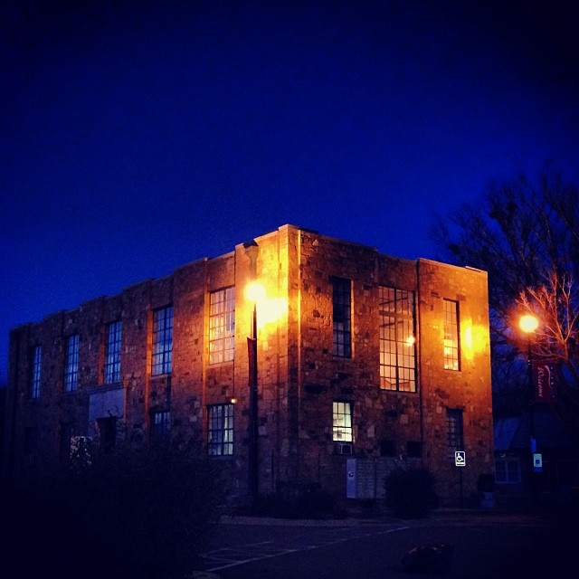
#early #morning view of the #courthouse #townsquare in #downtown #clinton #arkansas #igersarkansas
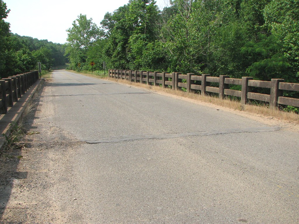
Pee Dee Creek-Side View
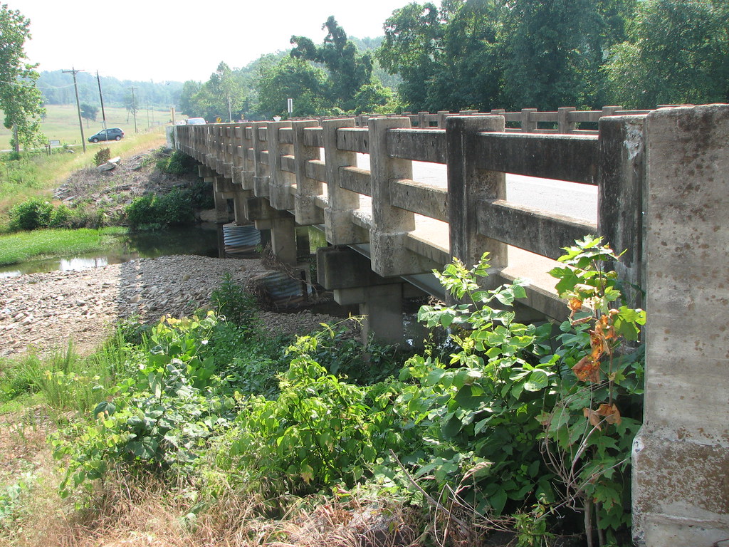
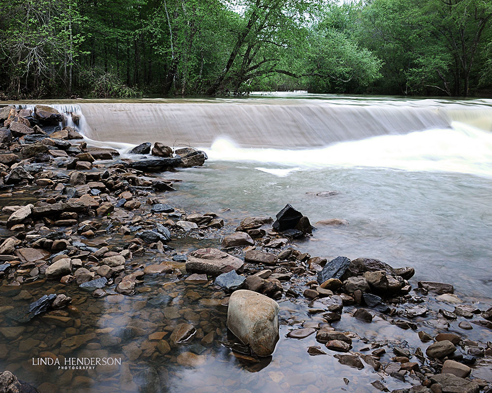
Deck View- Weaver Creek
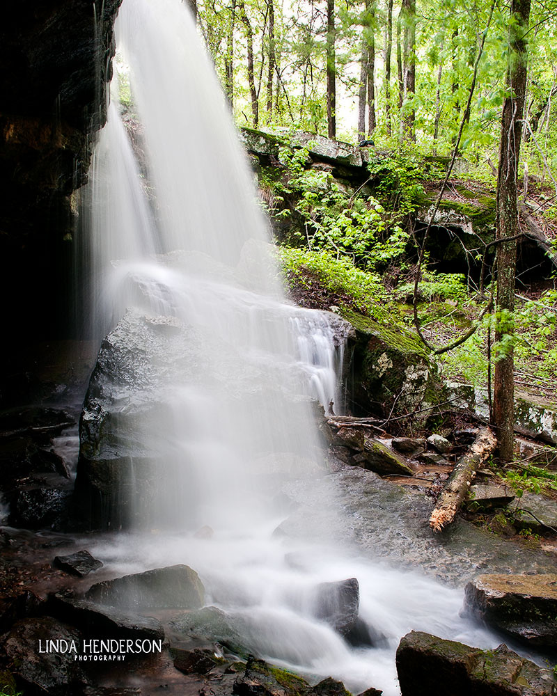
Spring Rains bring Big Flow
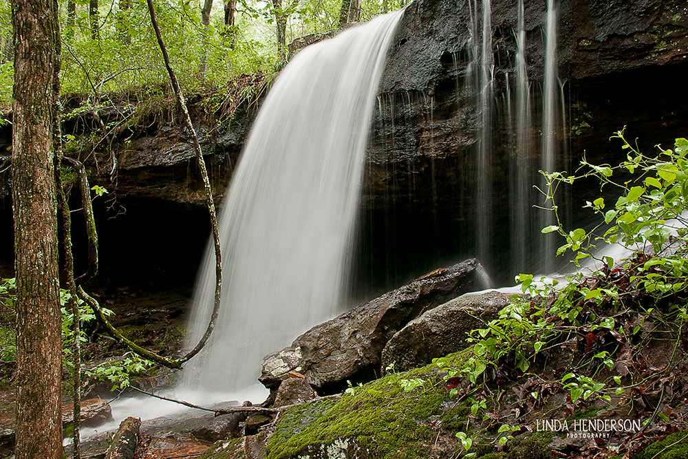
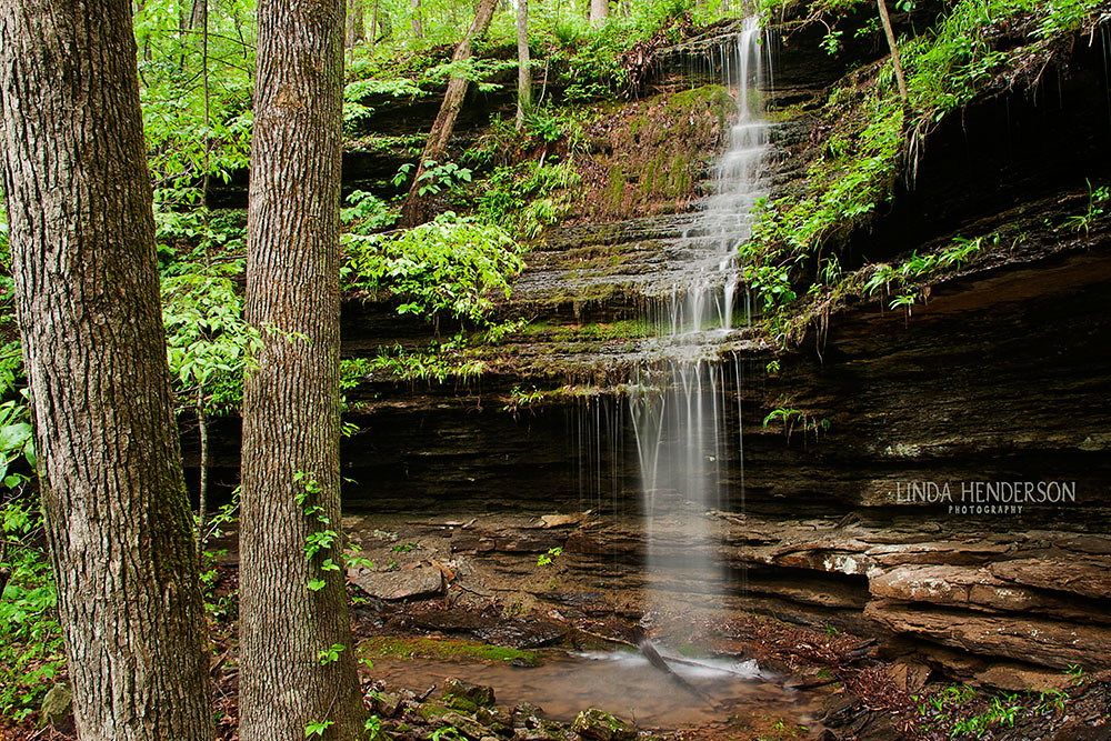
Hall Falls on Gulf Mountain
Flooding Little Red River Low Water Bridge

CHUCKWAGON RACES

CHUCKWAGON RACES
Waterfall Chasing
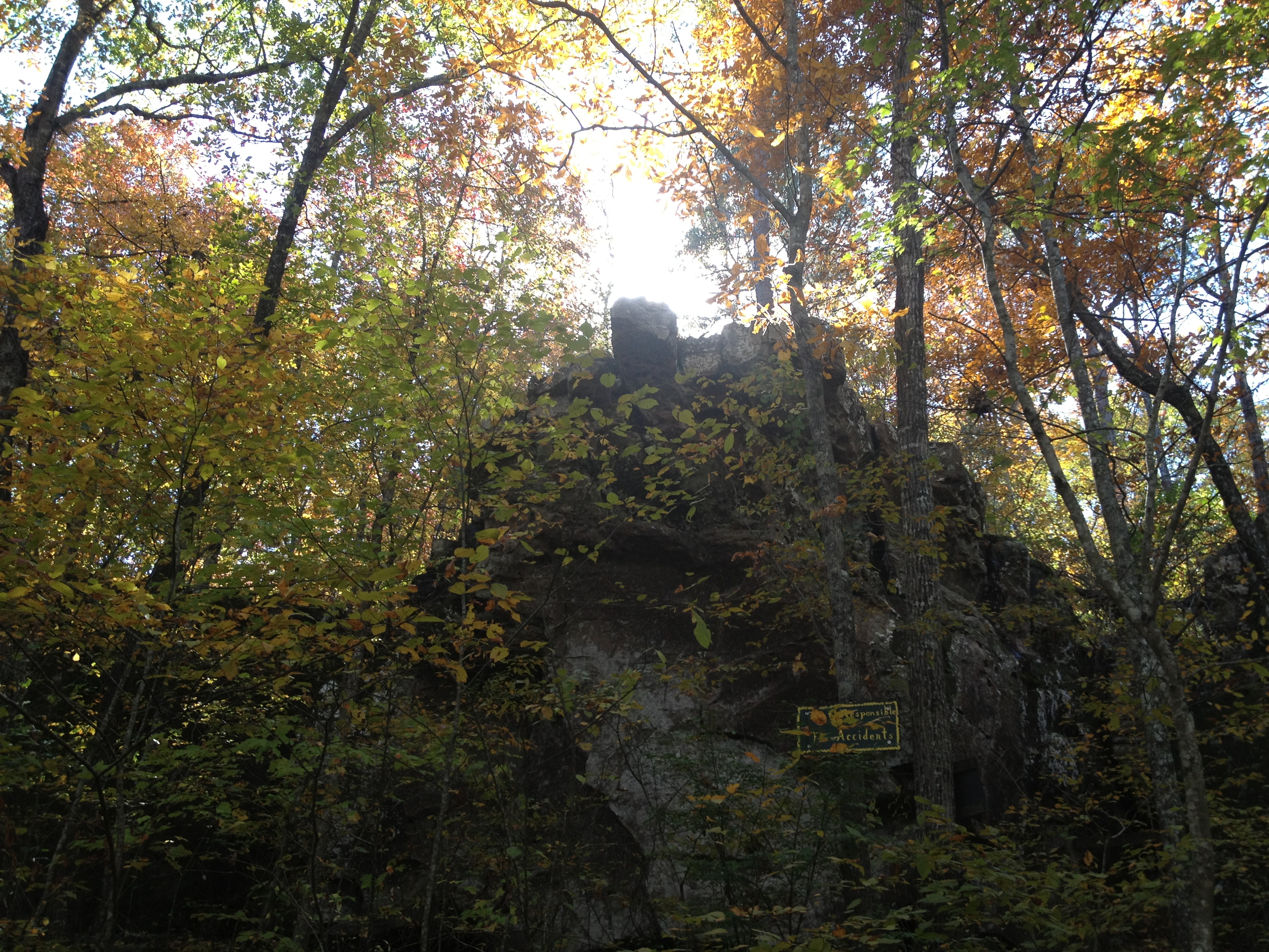
Natural Bridge
Topographic Map of Van Buren County, AR, USA
Find elevation by address:

Places in Van Buren County, AR, USA:
Craig Township
Wheeler Township
Linn Creek Township
Liberty Township
Washington Township
Red River Township
Archey Valley Township
Choctaw Township
Davis Township
Bradley Township
Culpepper Township
Cadron Township
Indian Rock Township
Formosa Township
Cargile Township
East Griggs Township
Barnett Township
Union Township
Mountain Township
West Griggs Township
Holly Mountain Township
Places near Van Buren County, AR, USA:
189 Greta Rd
4799 Ar-16
4057 Ar-16
Clinton, AR, USA
2646 Watergate Rd
10766 Ar-16
10766 Ar-16
2029 Ar-16
West Griggs Township
431 Gamble Rd
Mountain Township
AR-95, Clinton, AR, USA
2848 Shake Rag Rd
Ar 65 Hwy N, Clinton, AR, USA
717 Ar-16
Fayette Road
Culpepper Township
744 Shake Rag Rd
Ar Hwy W, Clinton, AR, USA
AR-95, Scotland, AR, USA
Recent Searches:
- Elevation of Corso Fratelli Cairoli, 35, Macerata MC, Italy
- Elevation of Tallevast Rd, Sarasota, FL, USA
- Elevation of 4th St E, Sonoma, CA, USA
- Elevation of Black Hollow Rd, Pennsdale, PA, USA
- Elevation of Oakland Ave, Williamsport, PA, USA
- Elevation of Pedrógão Grande, Portugal
- Elevation of Klee Dr, Martinsburg, WV, USA
- Elevation of Via Roma, Pieranica CR, Italy
- Elevation of Tavkvetili Mountain, Georgia
- Elevation of Hartfords Bluff Cir, Mt Pleasant, SC, USA