Elevation of East Griggs Township, AR, USA
Location: United States > Arkansas > Van Buren County >
Longitude: -92.430753
Latitude: 35.5960687
Elevation: 173m / 568feet
Barometric Pressure: 99KPa
Elevation Map:
Satellite Map:
Related Photos:
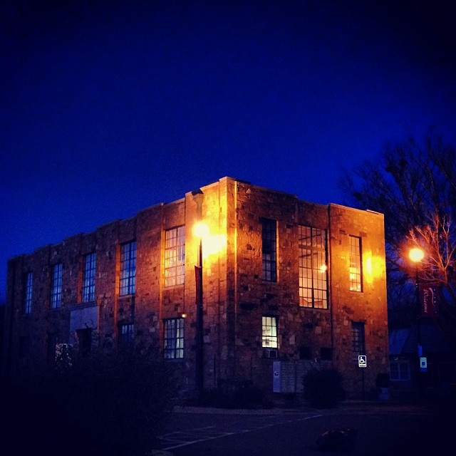
#early #morning view of the #courthouse #townsquare in #downtown #clinton #arkansas #igersarkansas
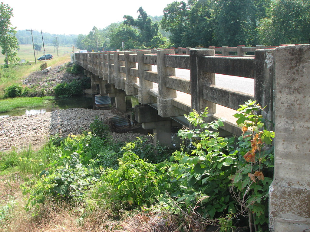
Pee Dee Creek-Side View
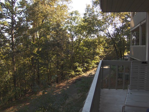
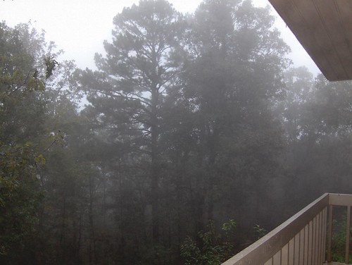
Deck View- Weaver Creek
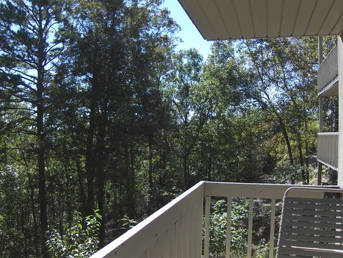
Fairfield Bay, Arkansas
Fairfield Bay, Arkansas
Fairfield Bay, Arkansas

Fairfield Bay Marina
Indian Falls, Wild Horse Canyon
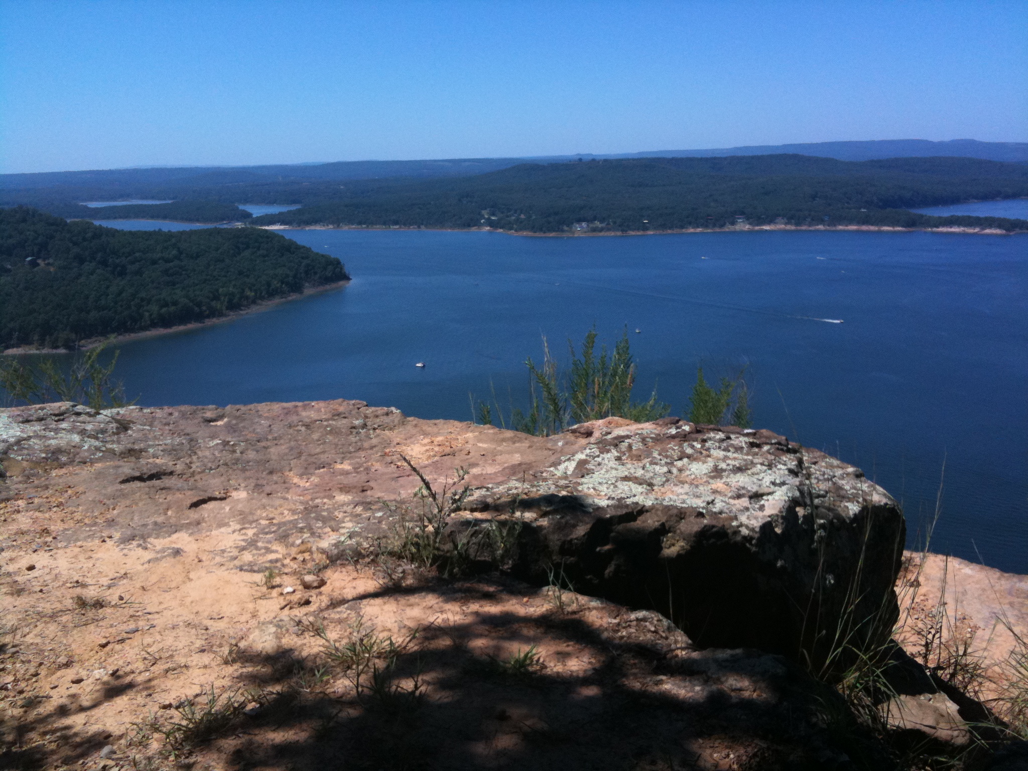
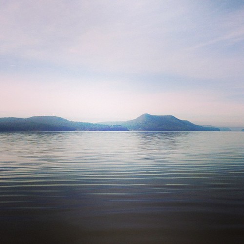
Greer's Ferry Lake
This weekend we took a ferry out on the lake to an mountain/island. It was a perfect opportunity for #whpfoggy
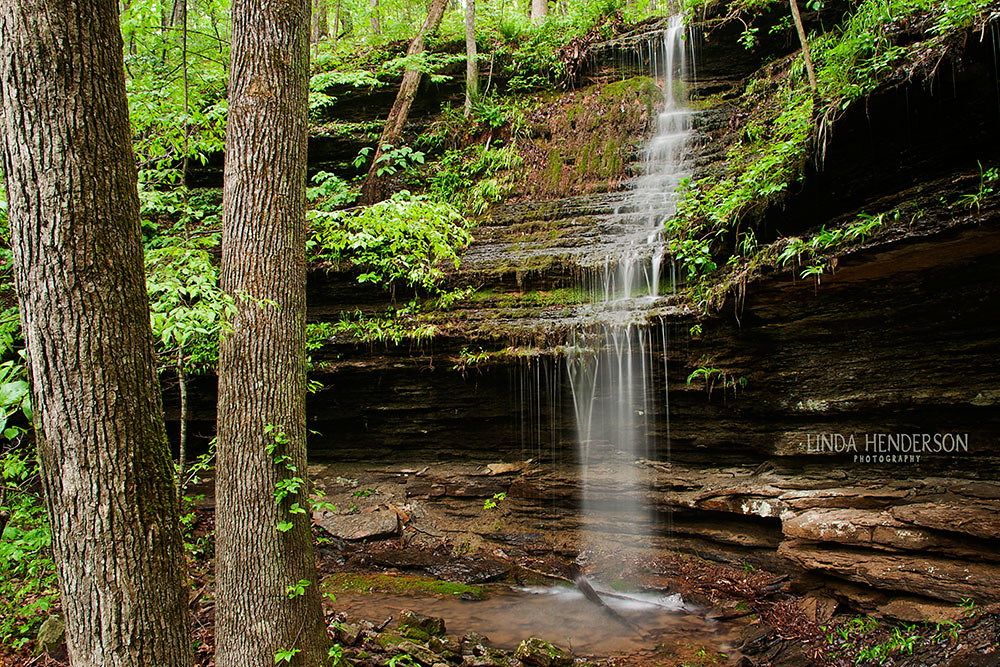
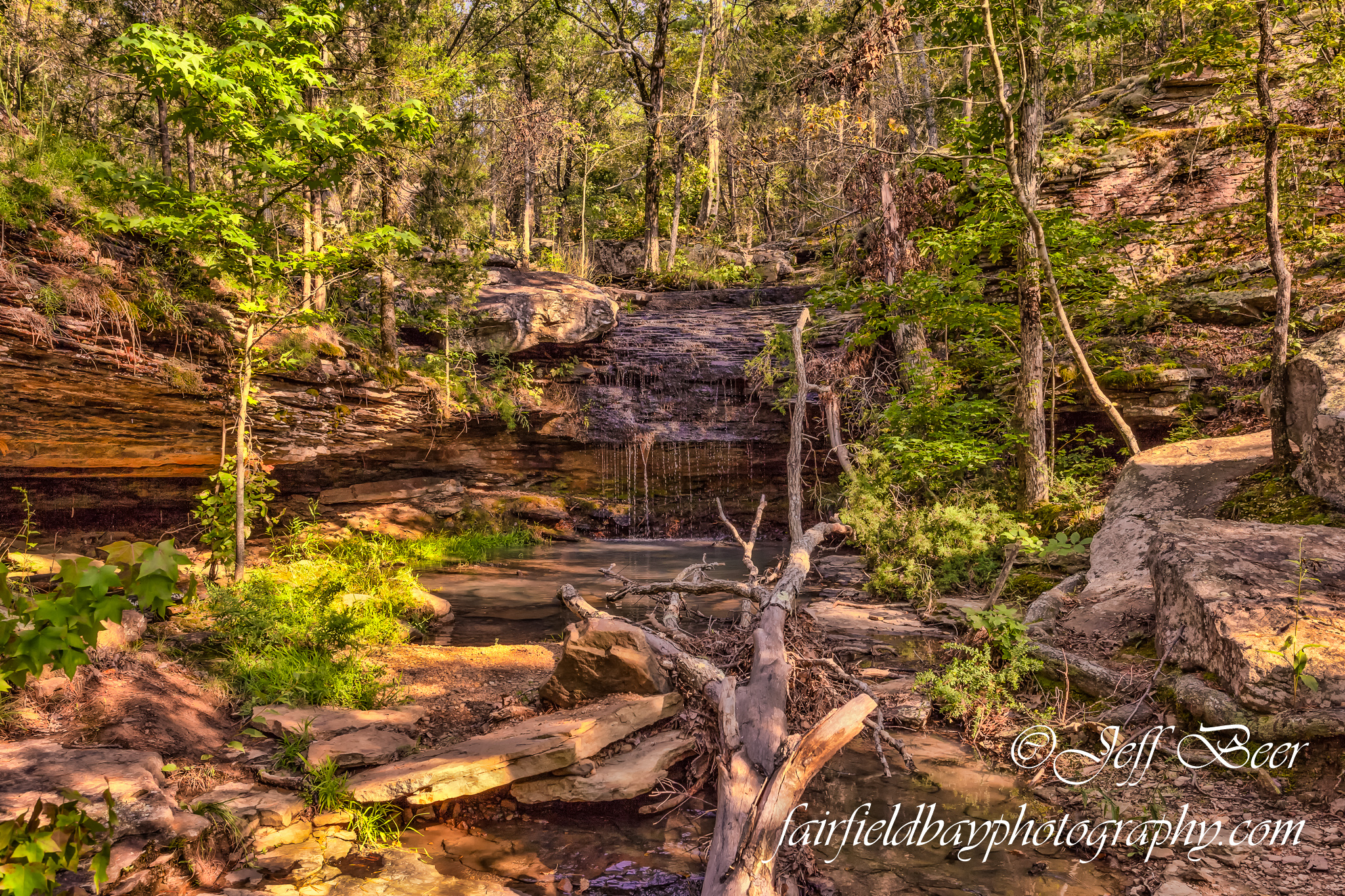
Waterfall Chasing
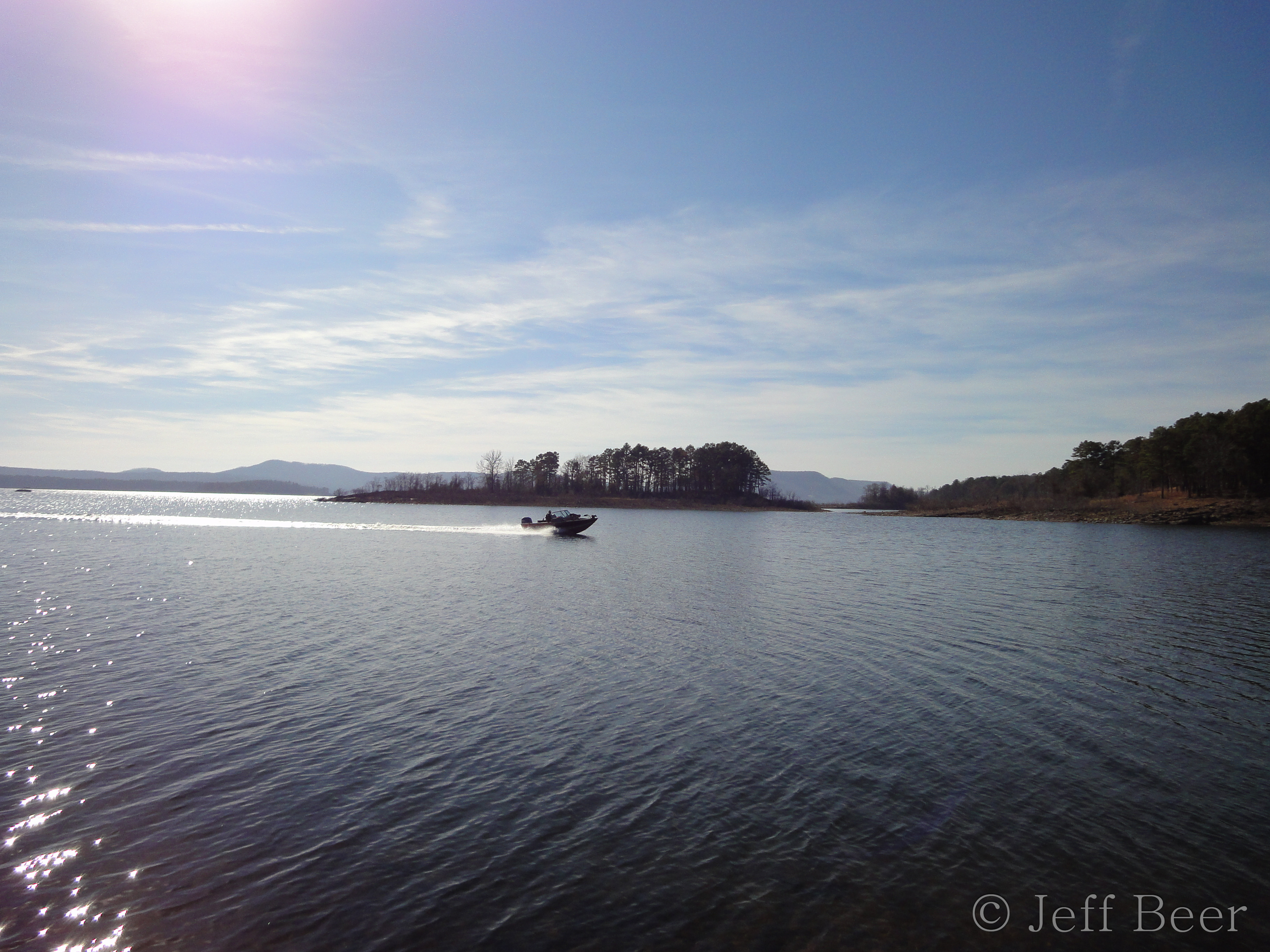
Greers Ferry Lake Arkansas (8 of 14).jpg
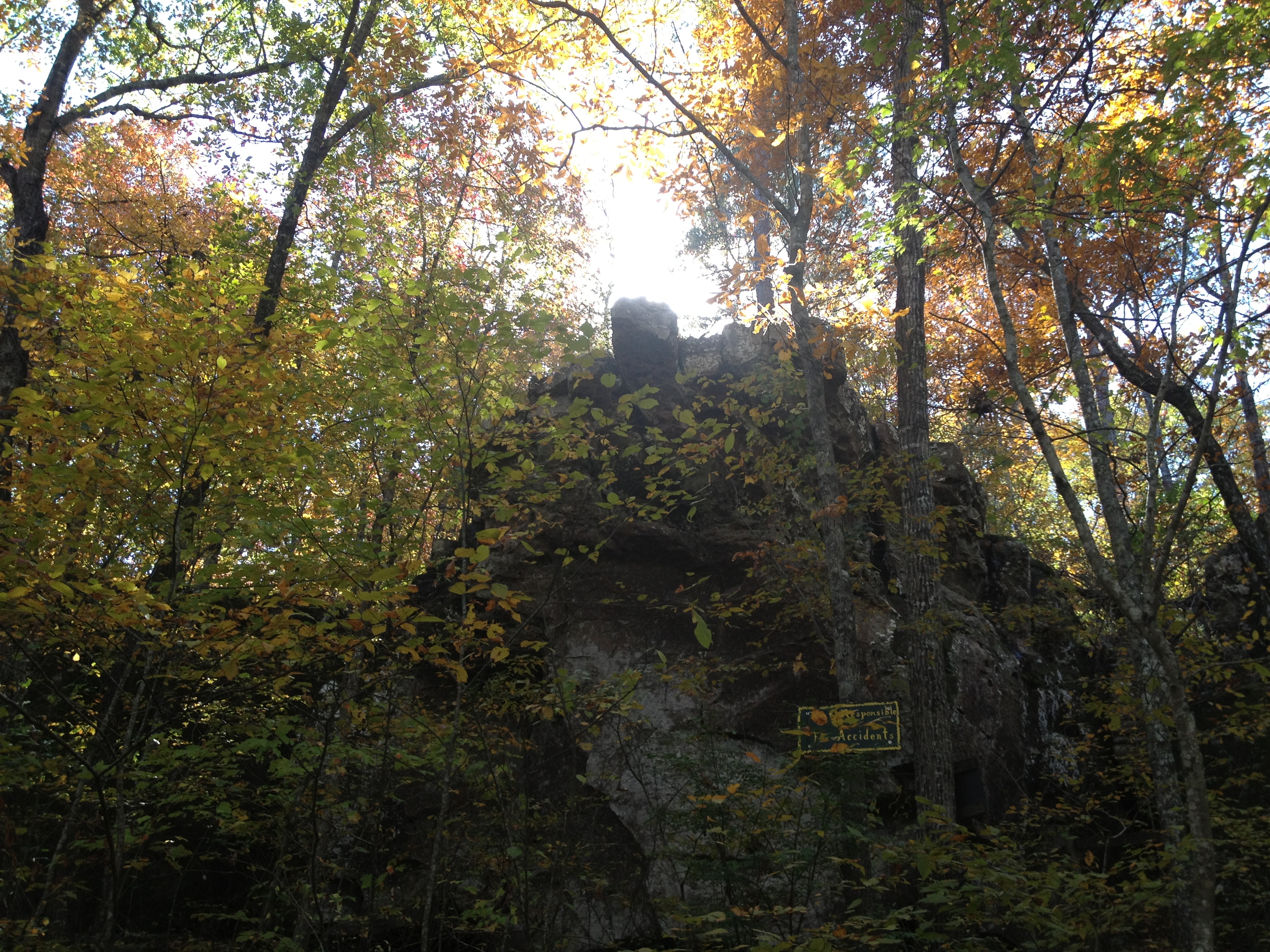
Natural Bridge
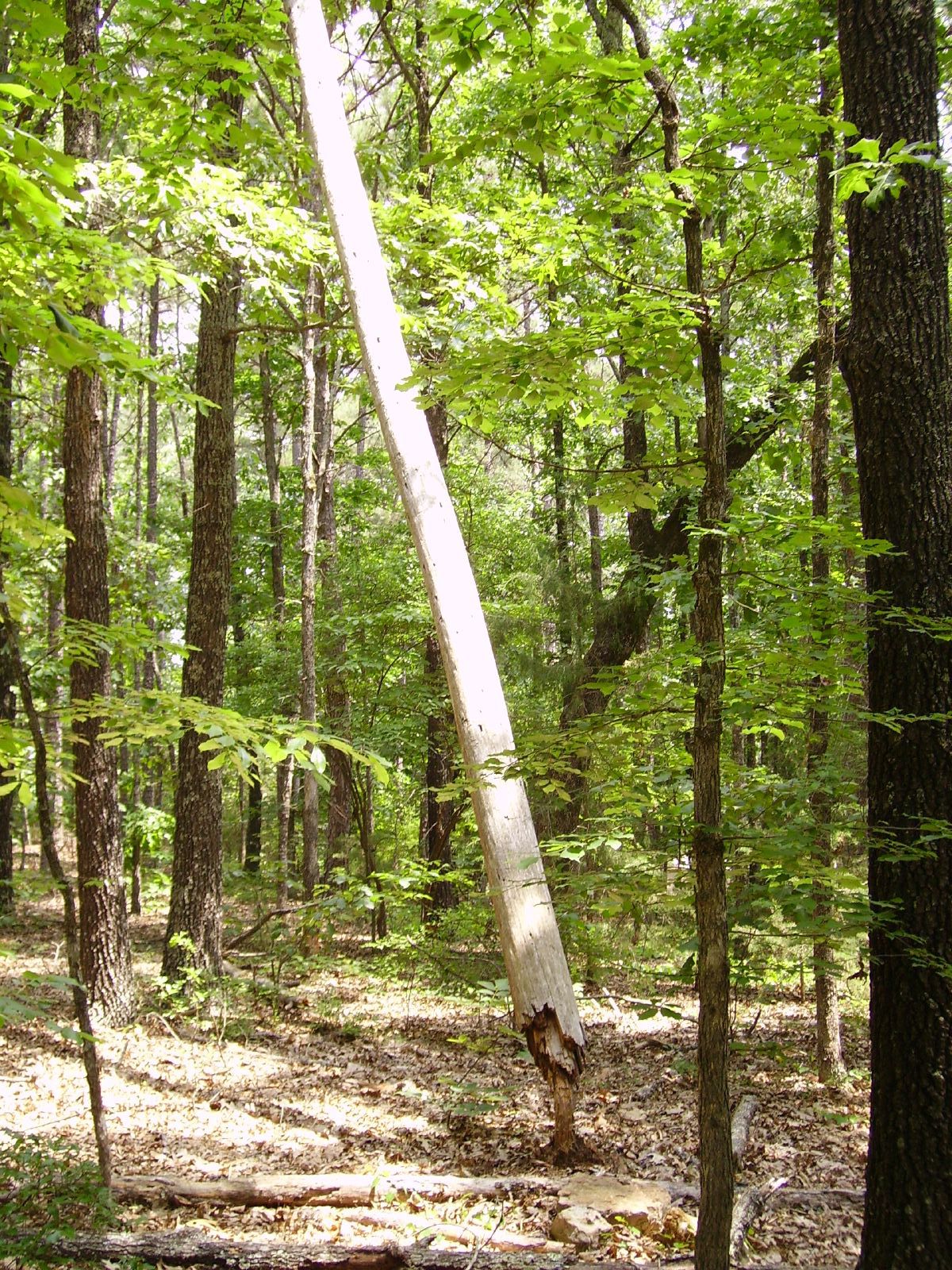
Strange tree

CHUCKWAGON RACES
Topographic Map of East Griggs Township, AR, USA
Find elevation by address:

Places in East Griggs Township, AR, USA:
Places near East Griggs Township, AR, USA:
2050 Ar-16
2212 Ar-16
Arkansas 16 E, Shirley, AR, USA
157 Nathaniel Cove
240 South St
225 South St
168 Court St
208 Court St
470 Main St
Main Street Florist & Gifts
311 Yellowjacket Ln
Clinton Senior Center
Clinton
468 Pebble Dr
1379 Holly Mountain Rd
427 Ar 336 Hwy W
3100 Hwy 65 S
3100 Ar-9
219 Maple Ln
Holly Mountain Township
Recent Searches:
- Elevation of Corso Fratelli Cairoli, 35, Macerata MC, Italy
- Elevation of Tallevast Rd, Sarasota, FL, USA
- Elevation of 4th St E, Sonoma, CA, USA
- Elevation of Black Hollow Rd, Pennsdale, PA, USA
- Elevation of Oakland Ave, Williamsport, PA, USA
- Elevation of Pedrógão Grande, Portugal
- Elevation of Klee Dr, Martinsburg, WV, USA
- Elevation of Via Roma, Pieranica CR, Italy
- Elevation of Tavkvetili Mountain, Georgia
- Elevation of Hartfords Bluff Cir, Mt Pleasant, SC, USA